


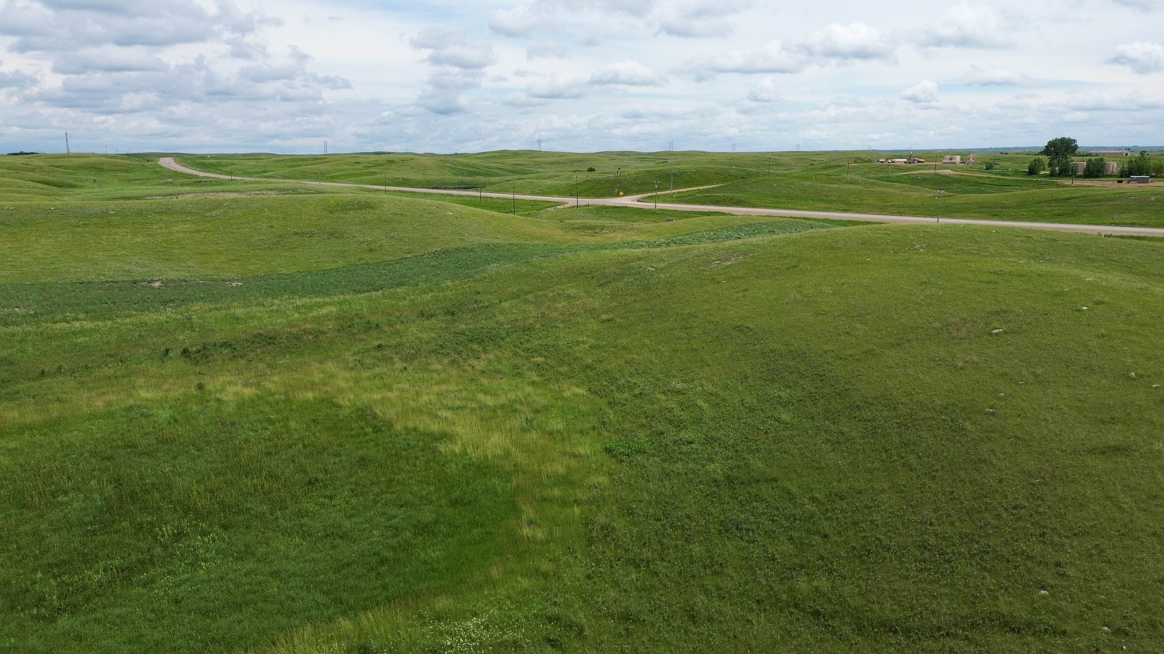
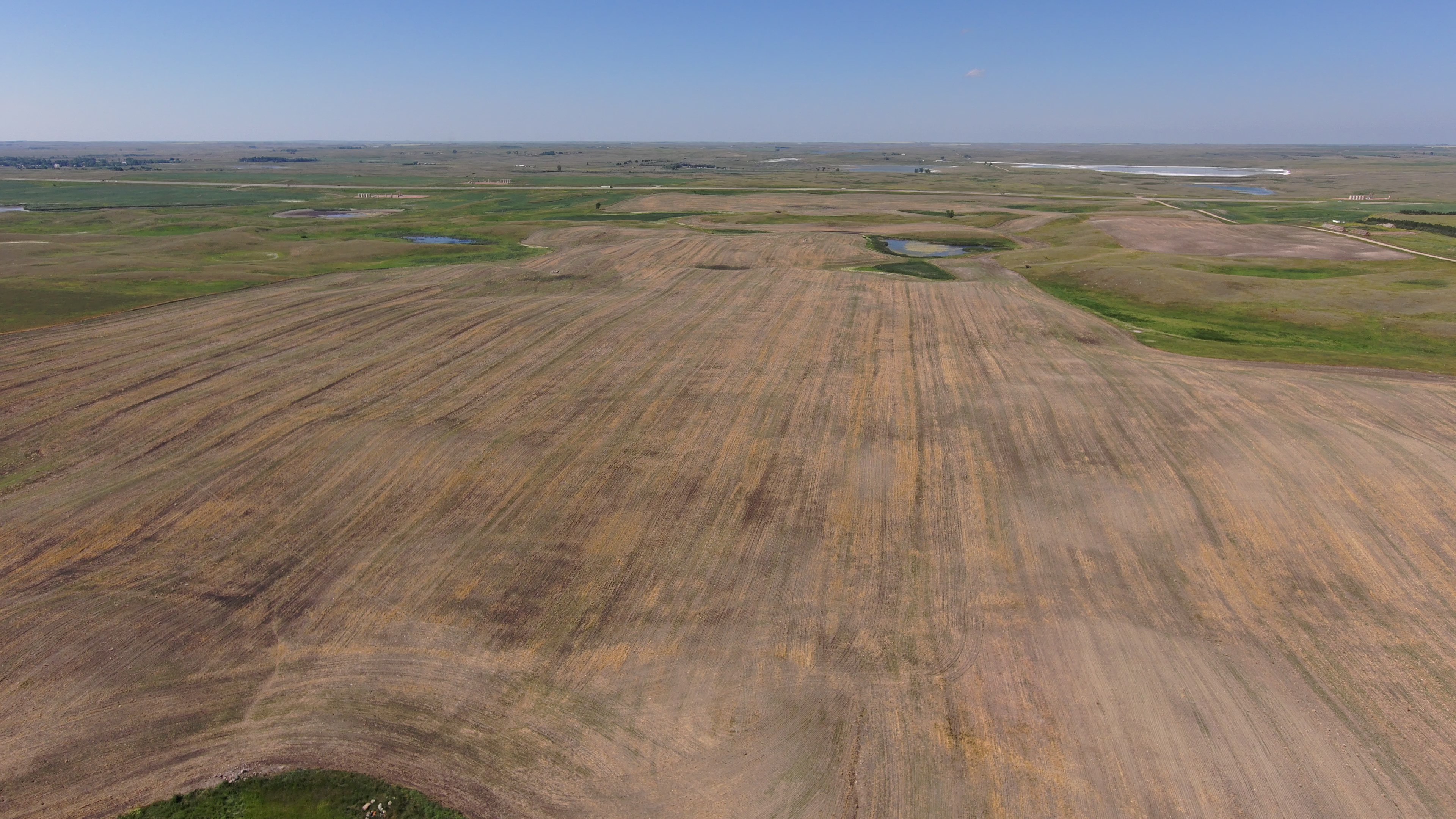
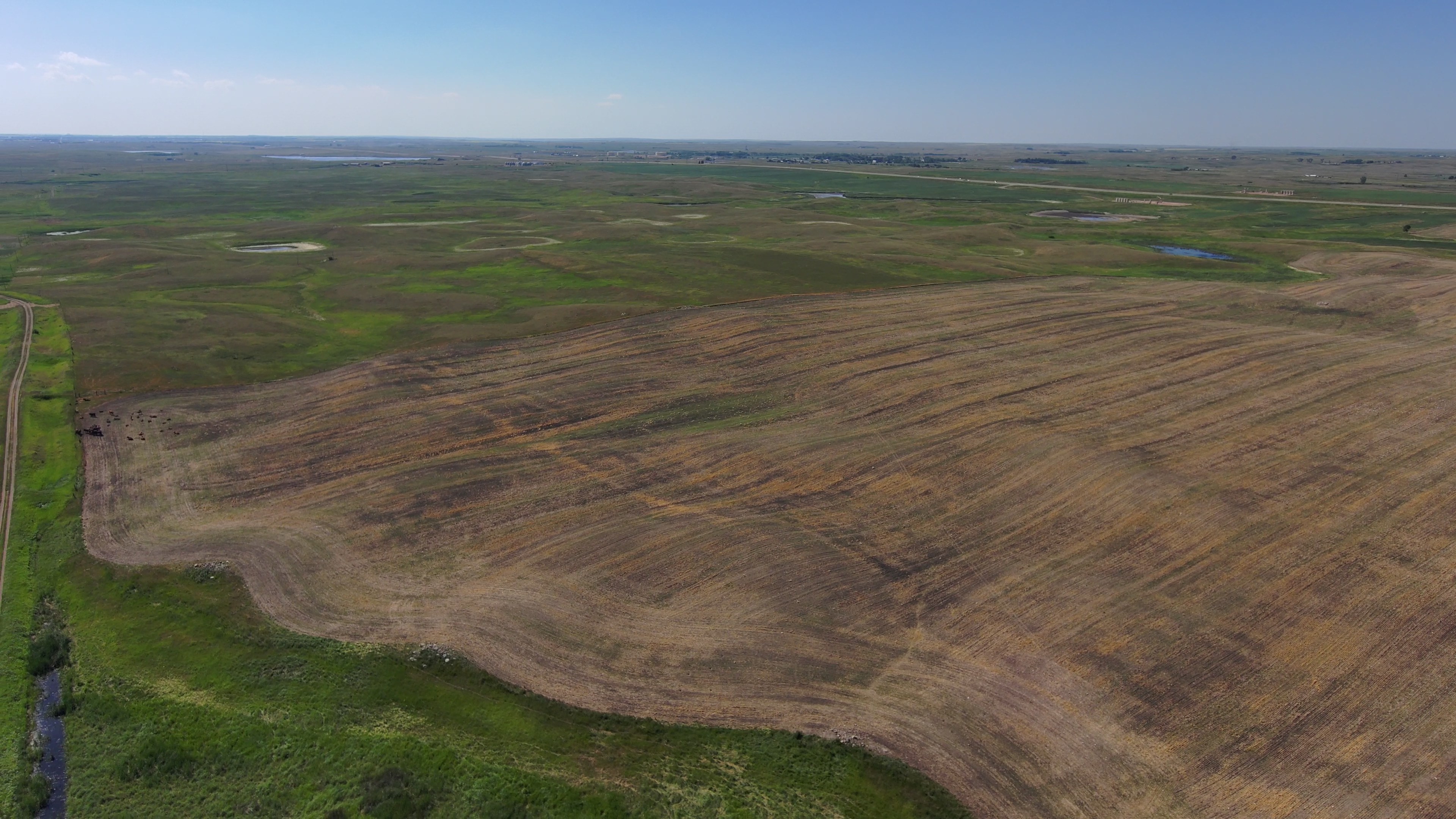
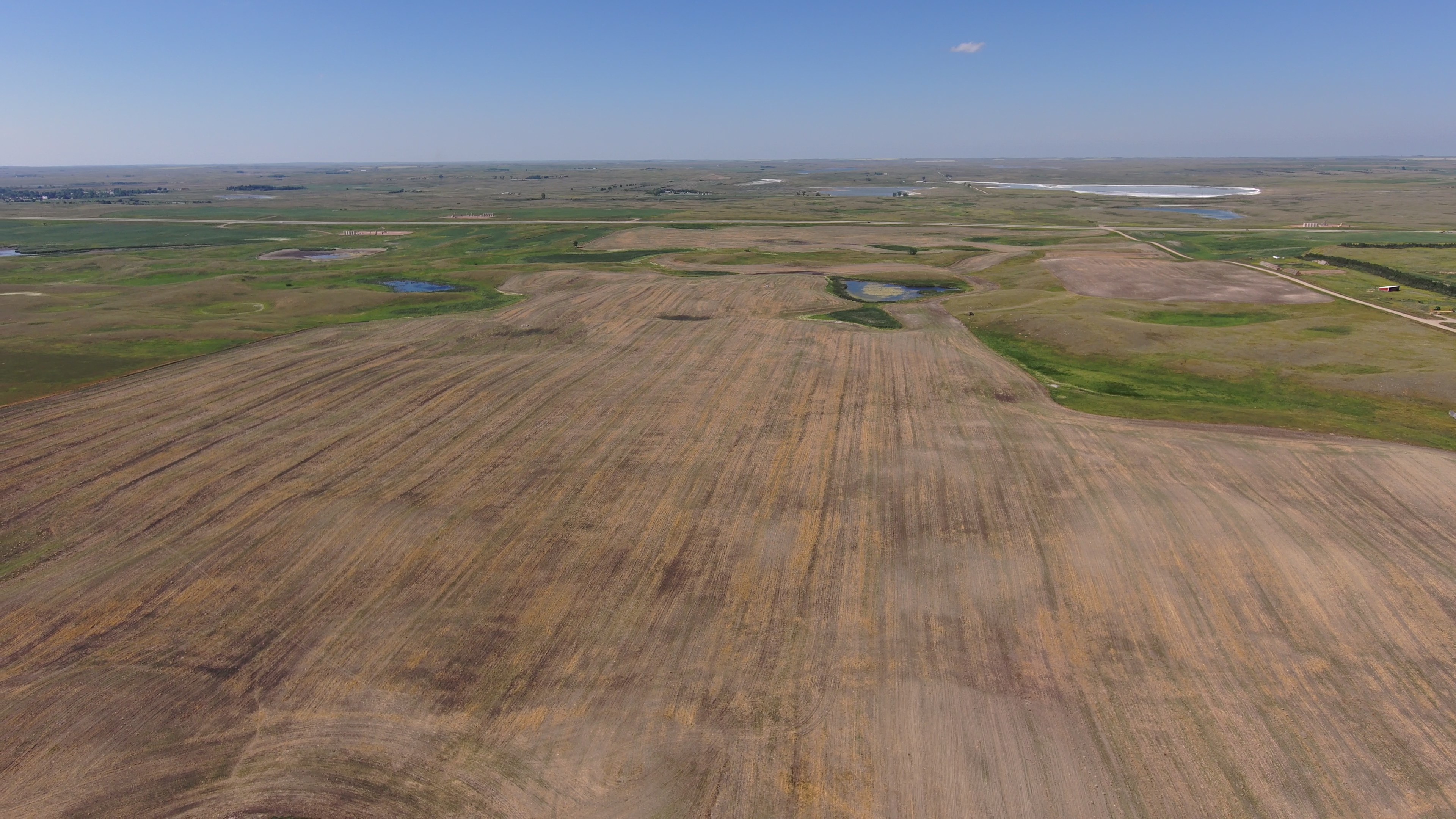
2,009.46 Acres - Mountrail & Williams Counties, ND
Wednesday, September 23, 2026 - 10:00 AM
cst
Auction Note
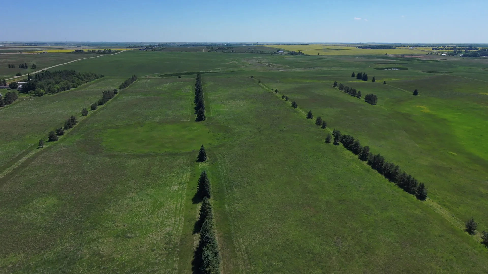
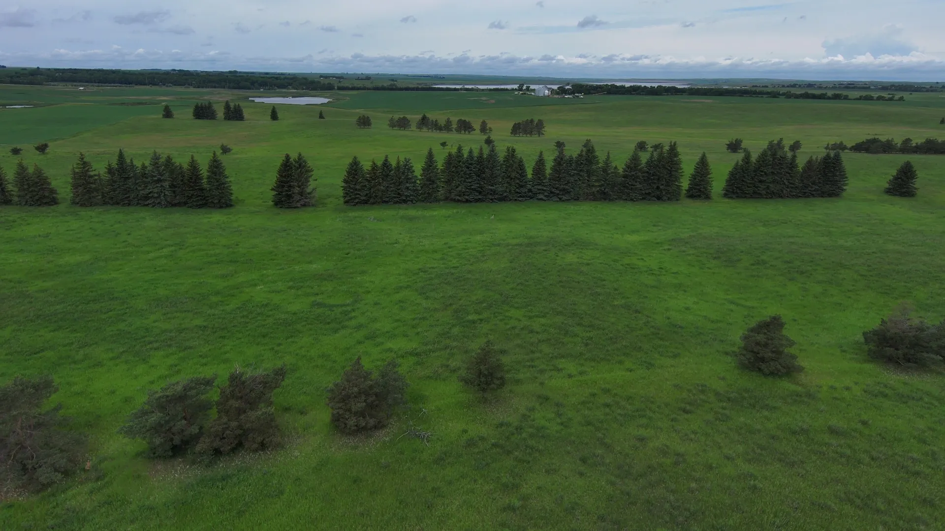
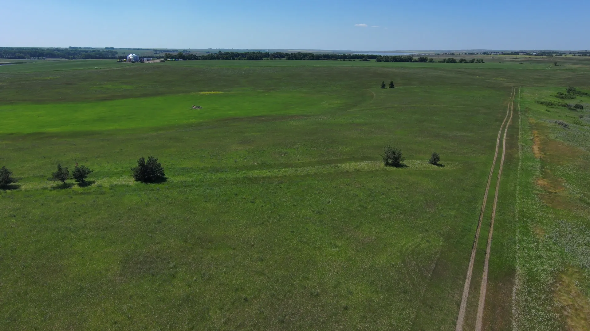
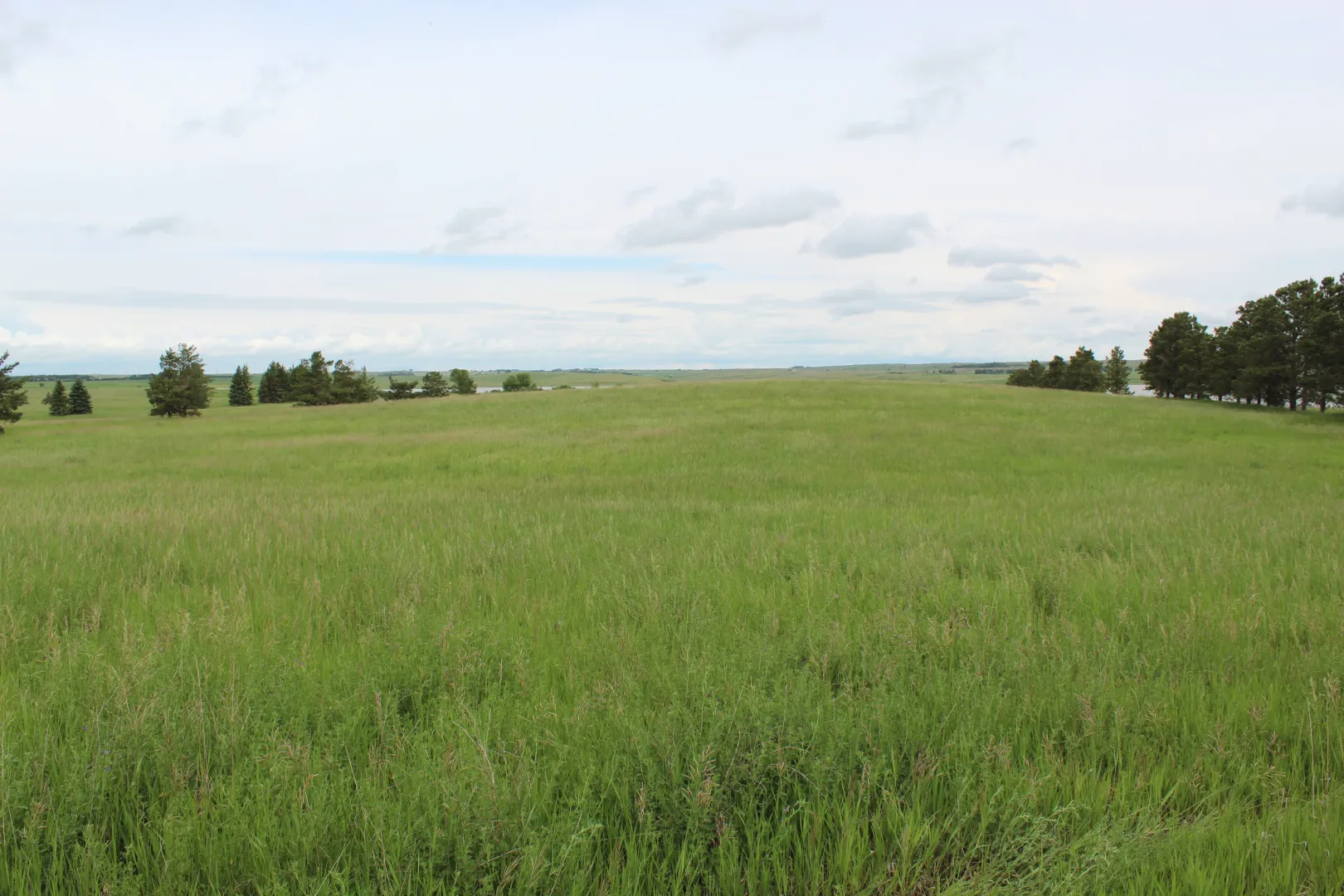
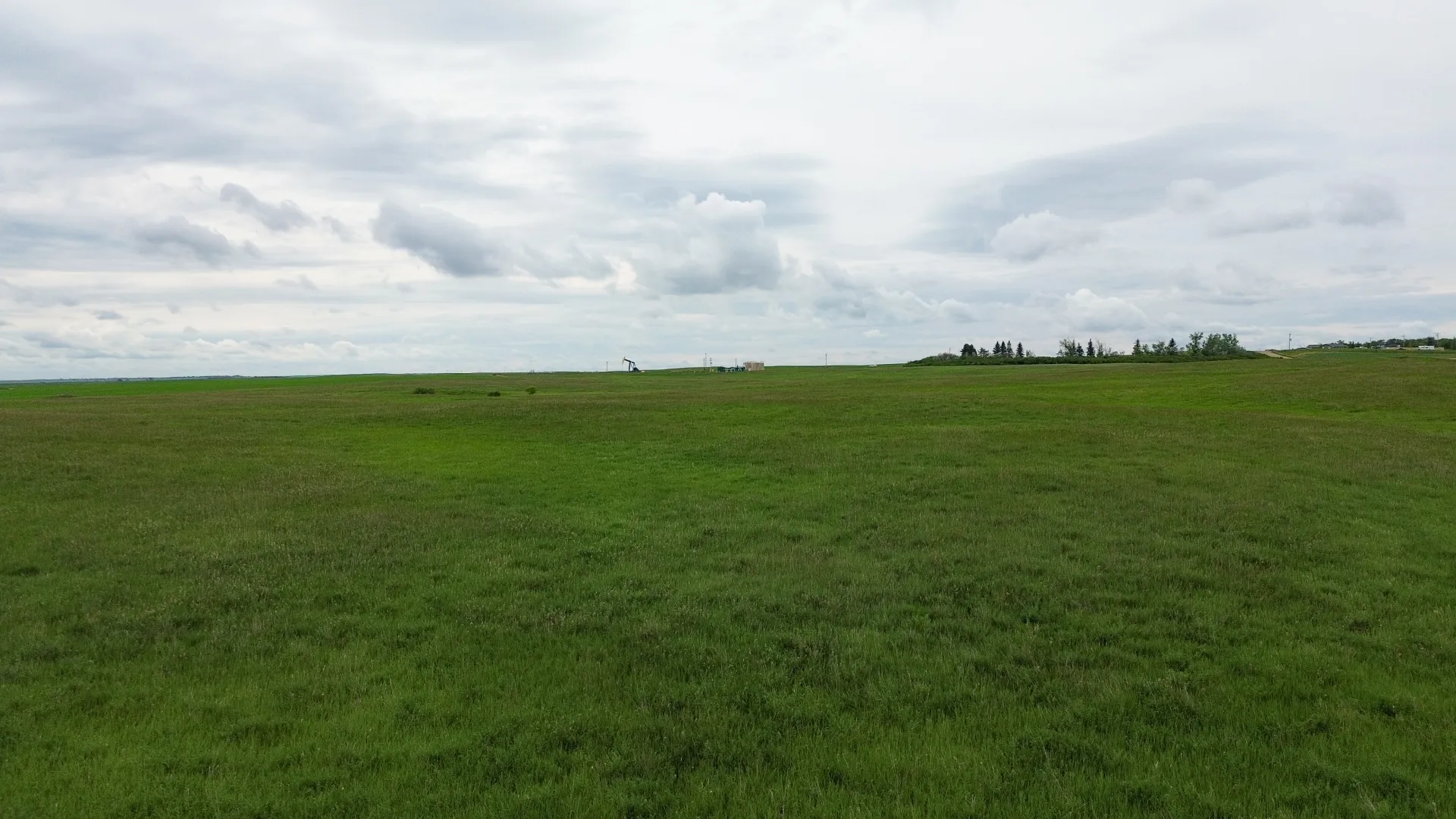
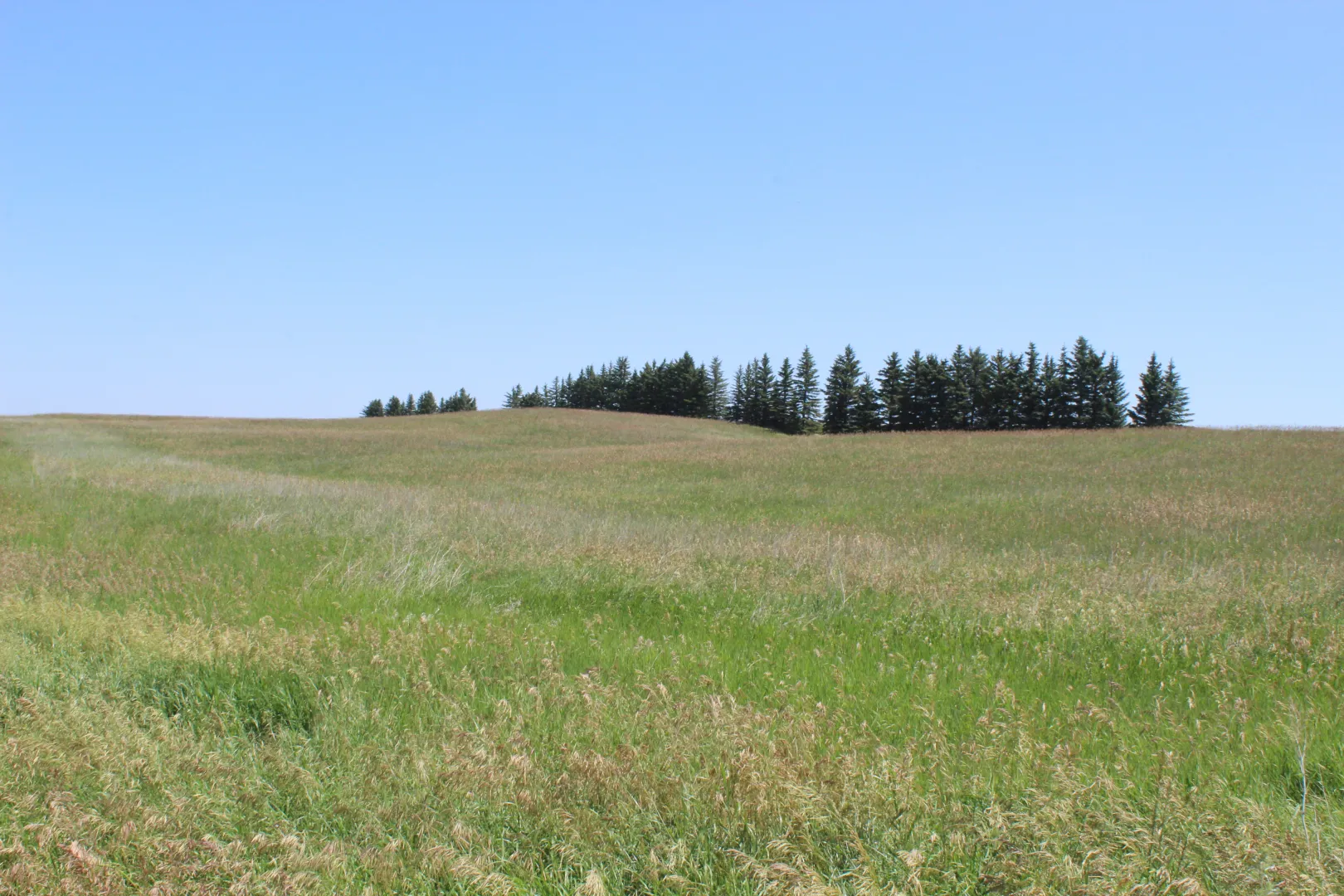
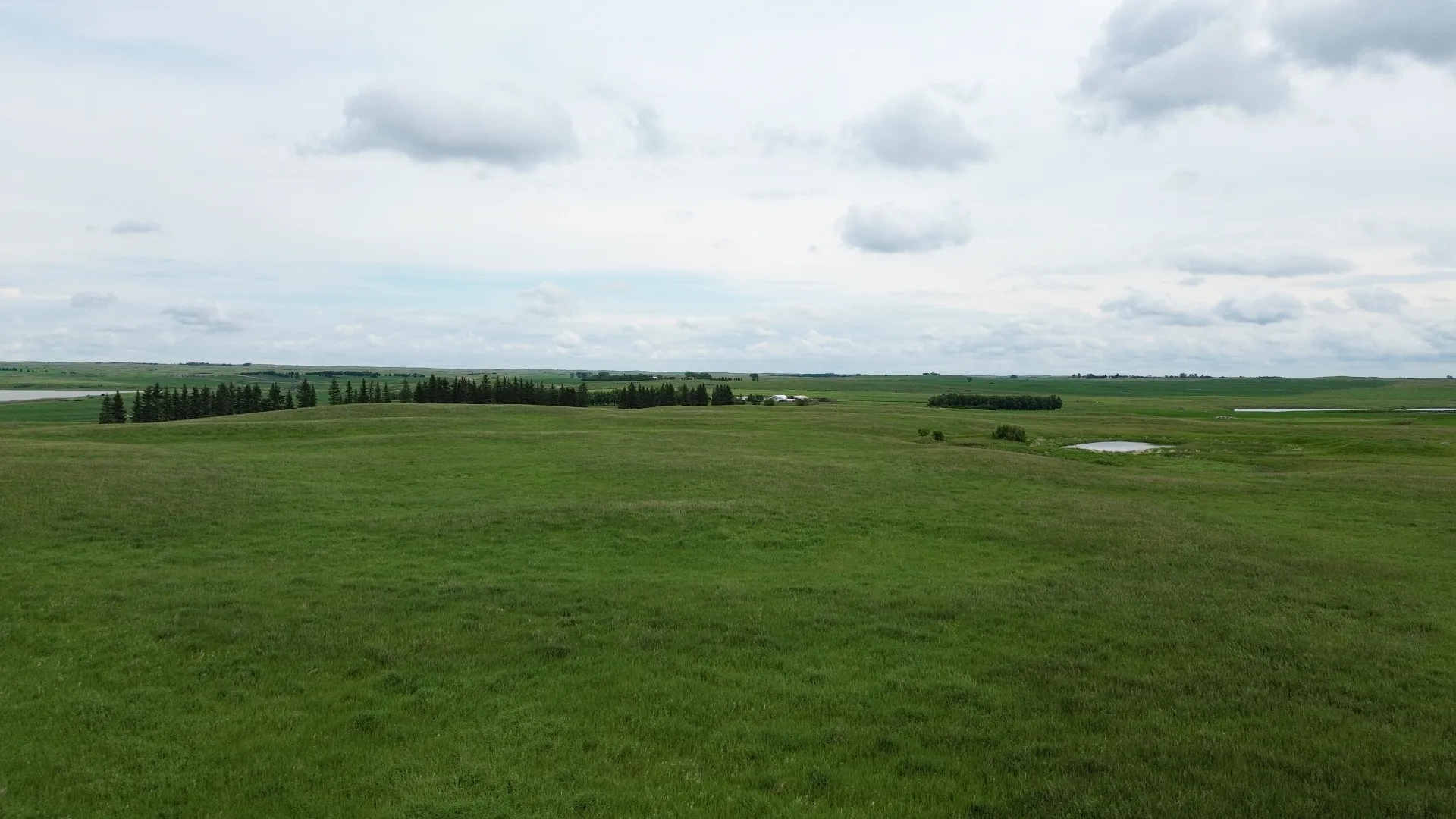
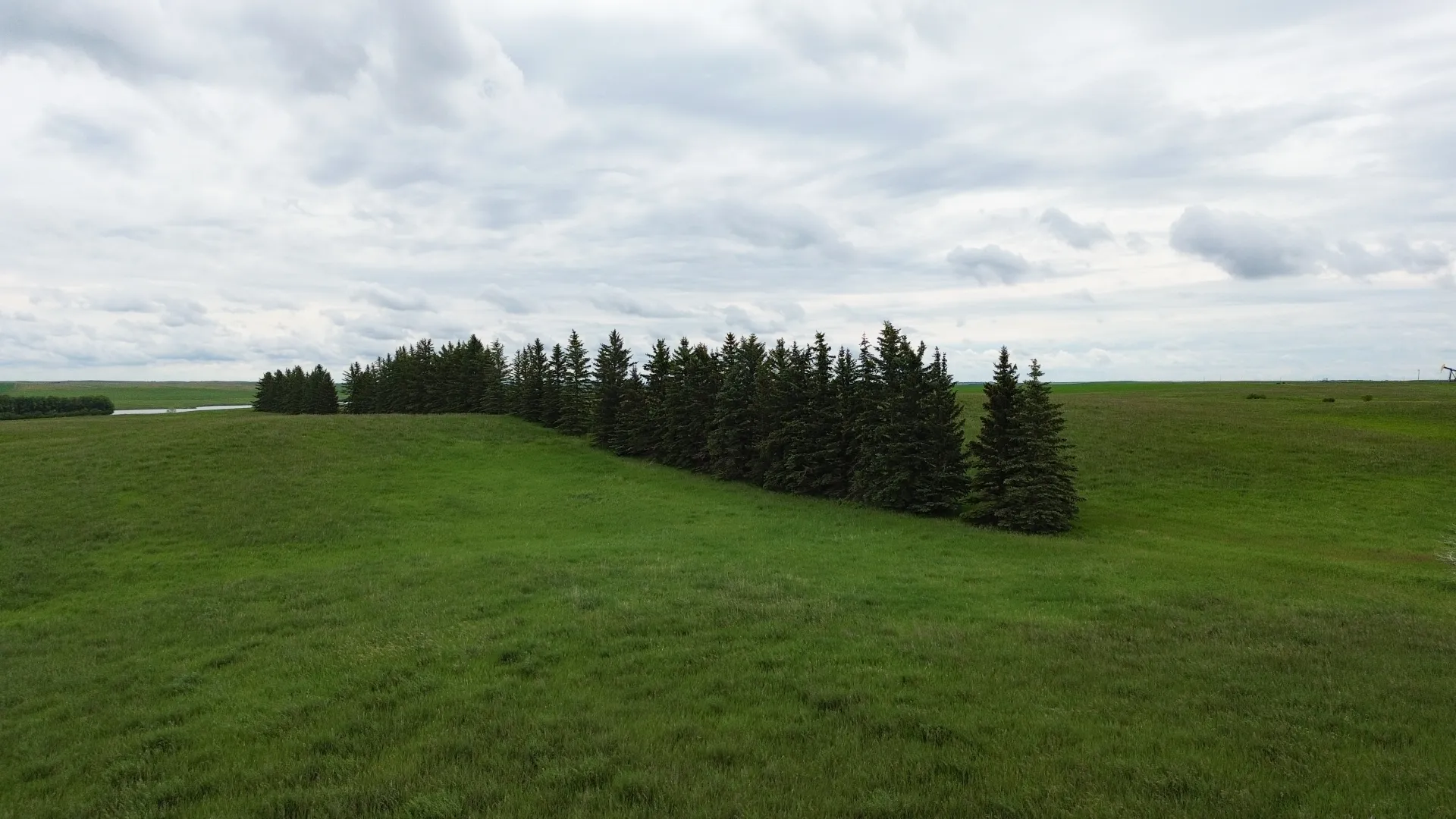
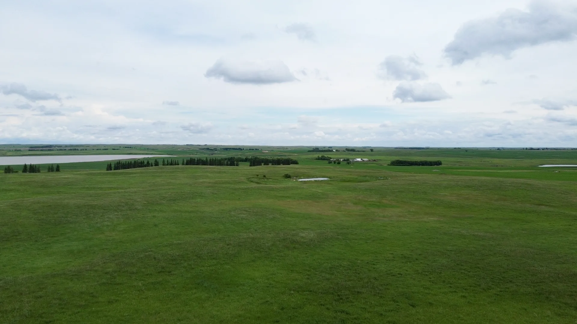
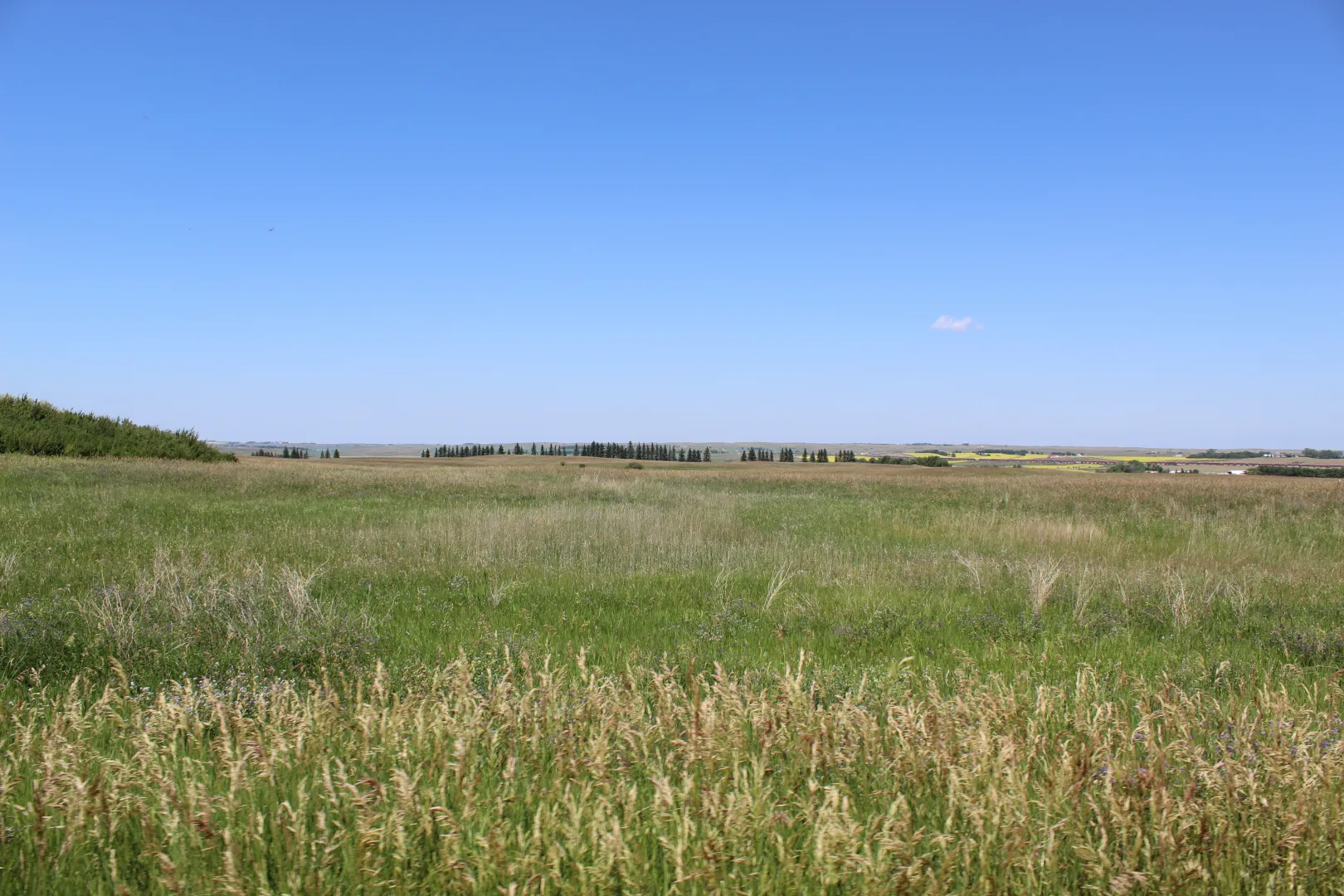
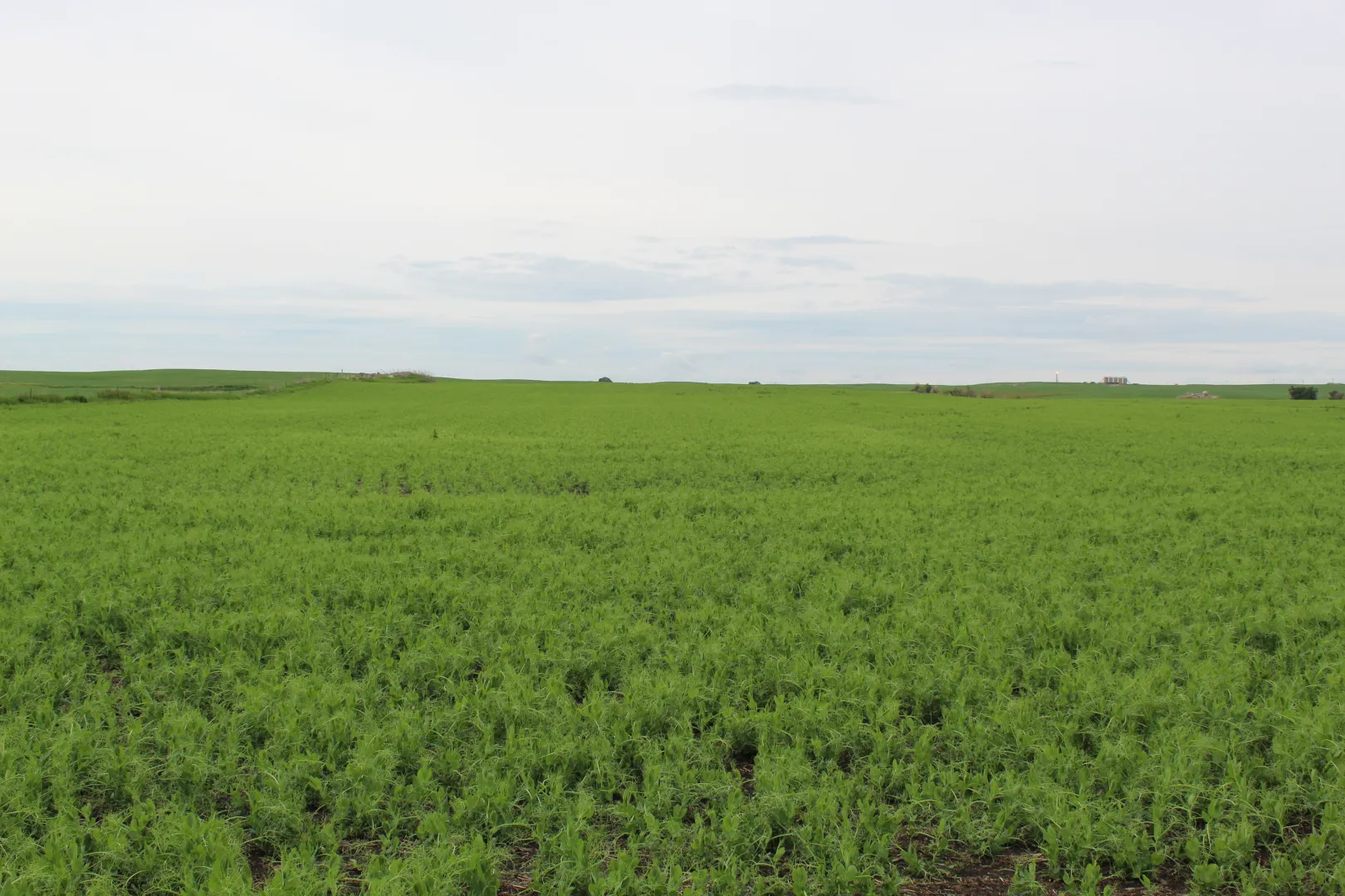
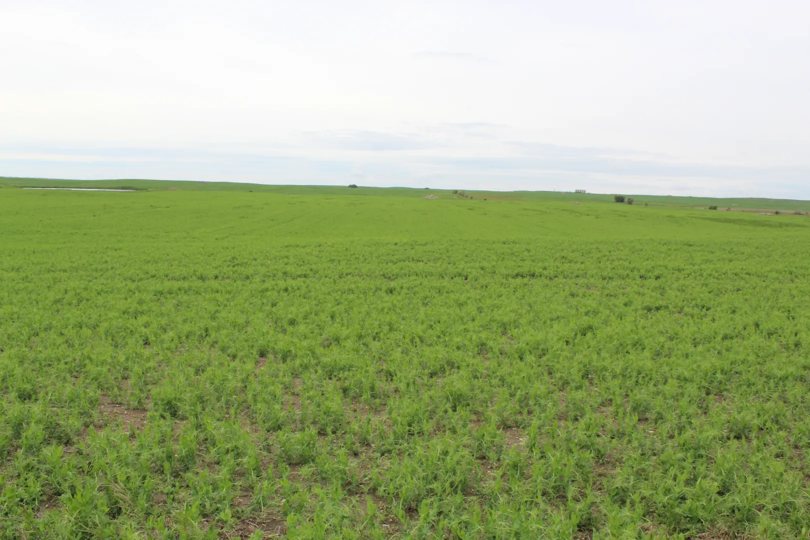
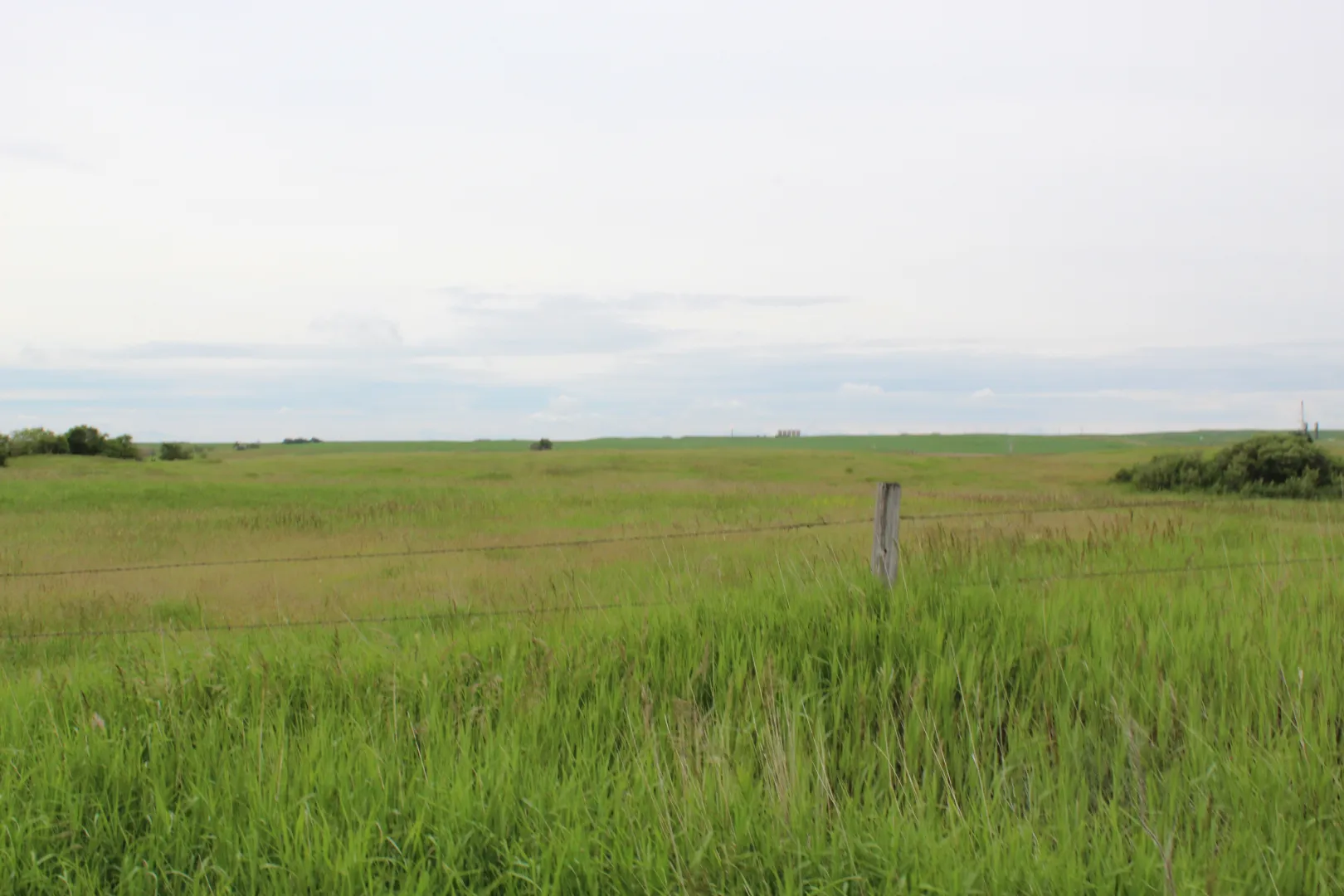
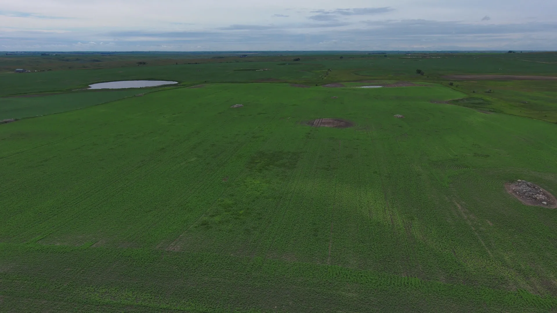
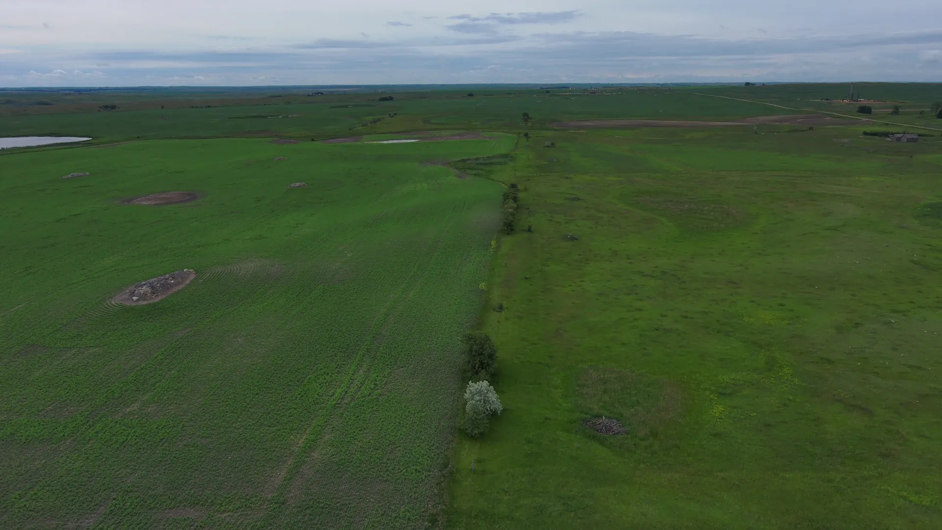
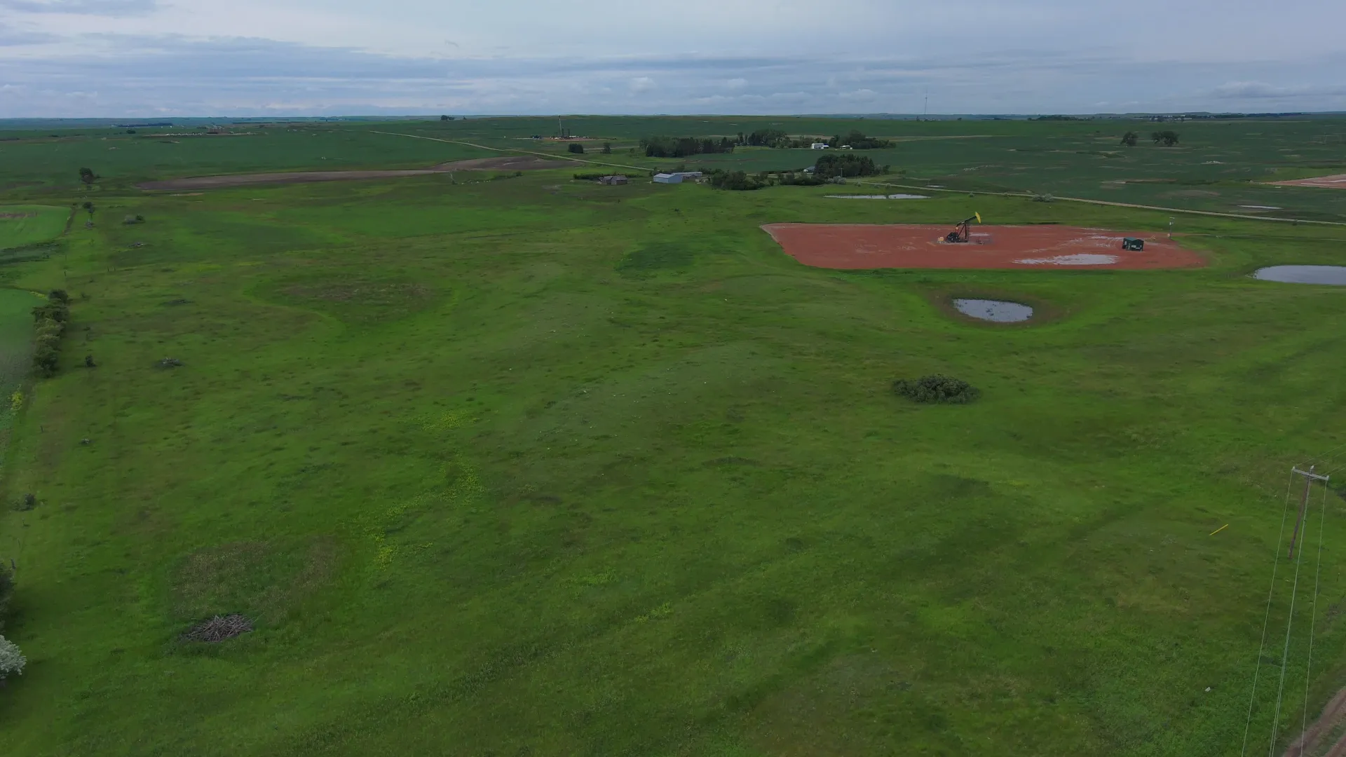
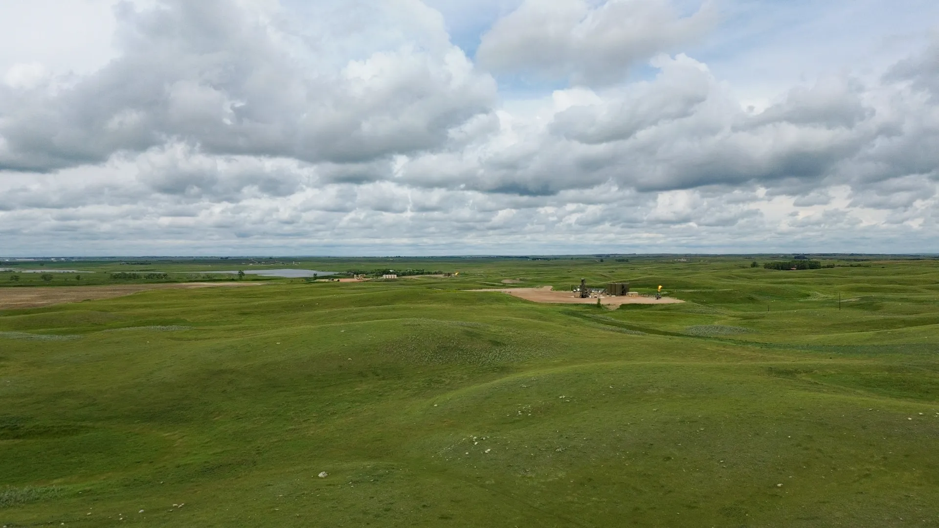
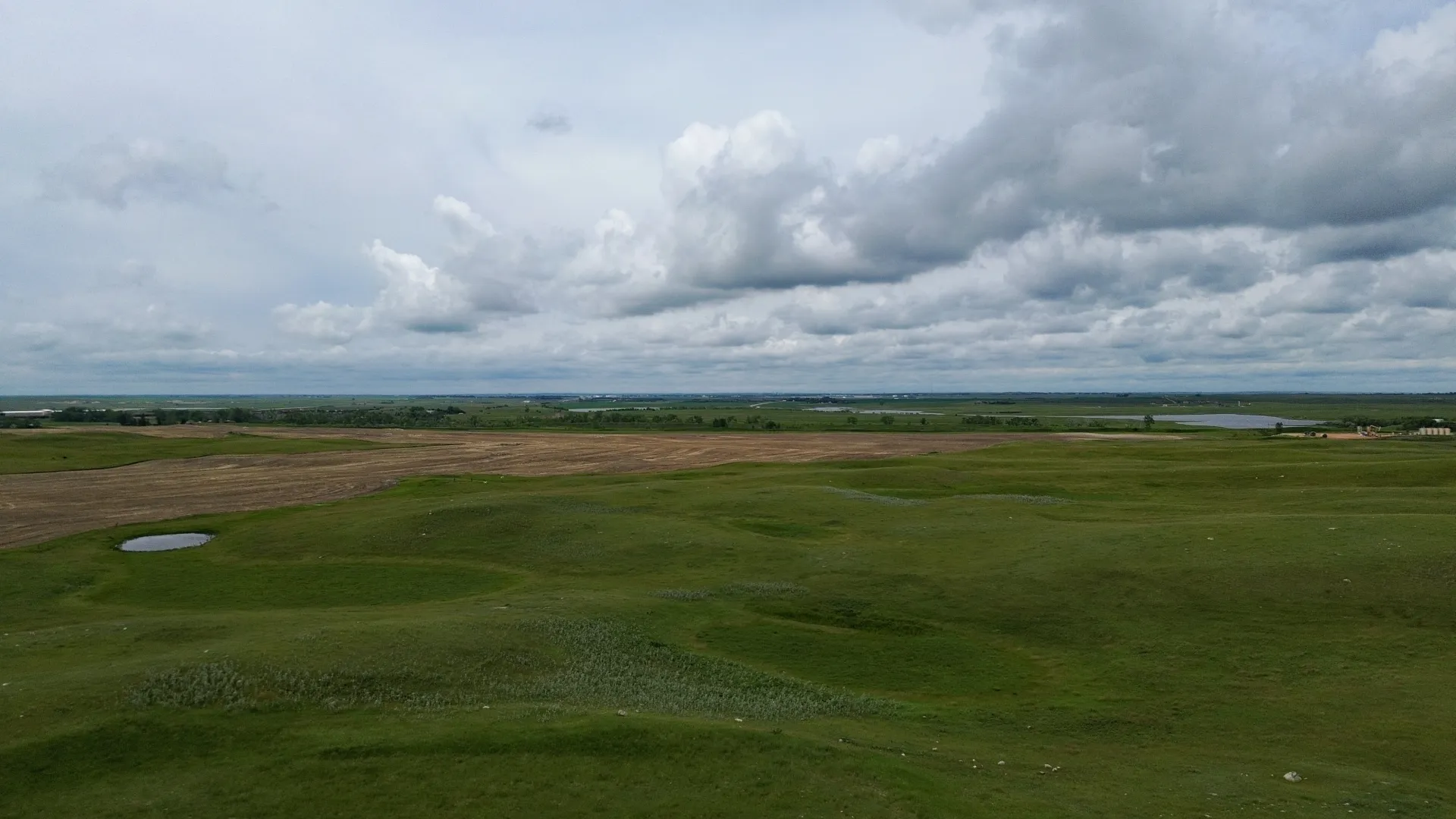
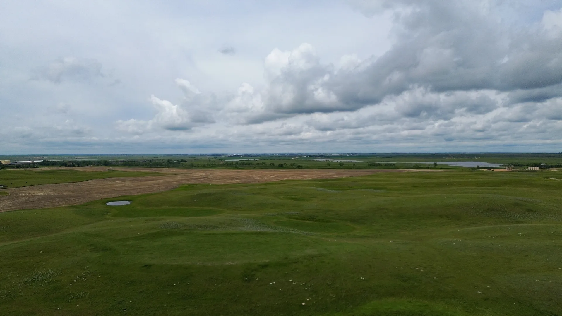
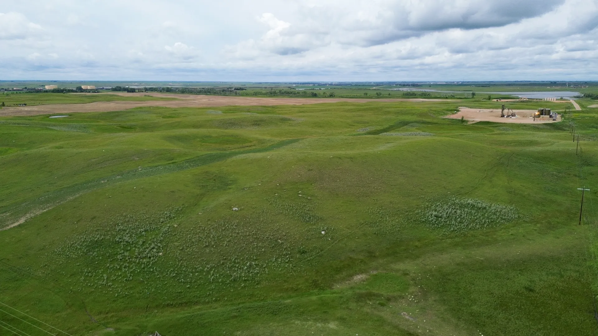
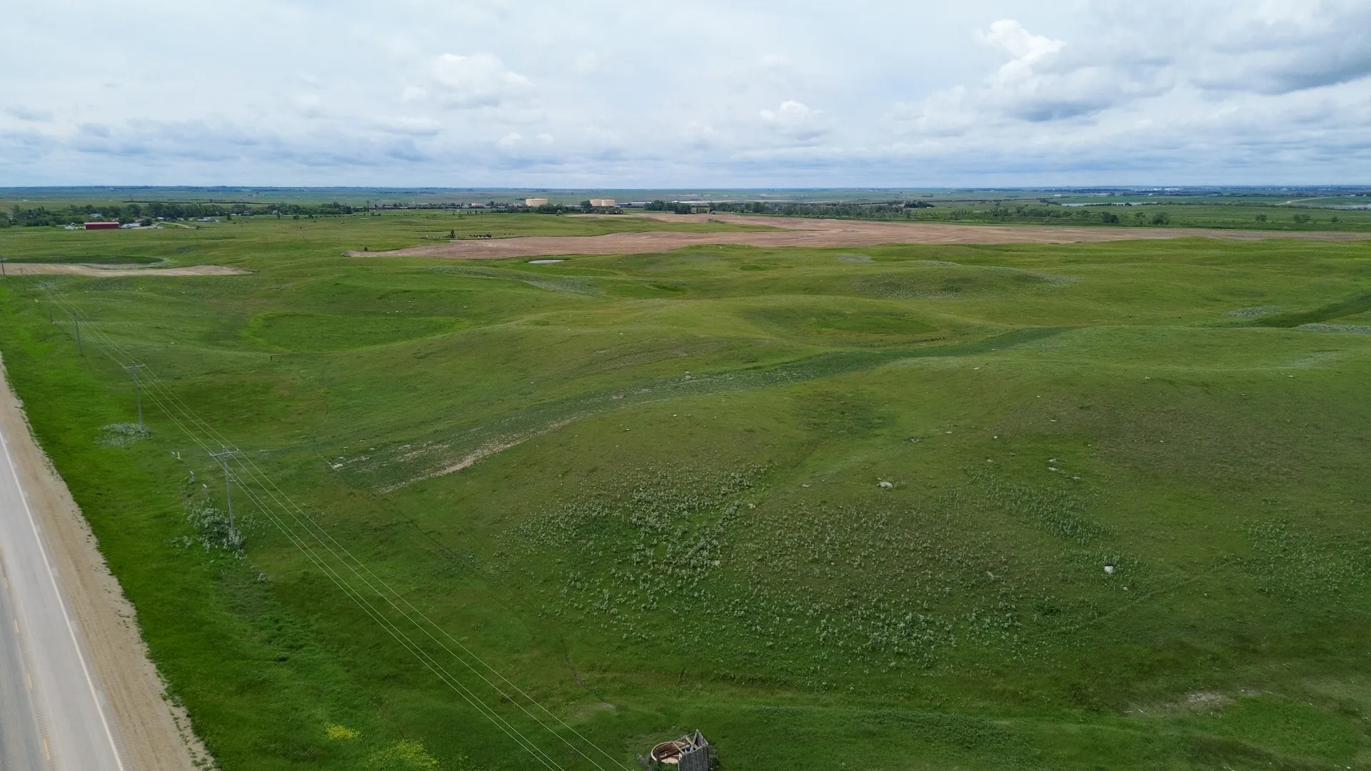
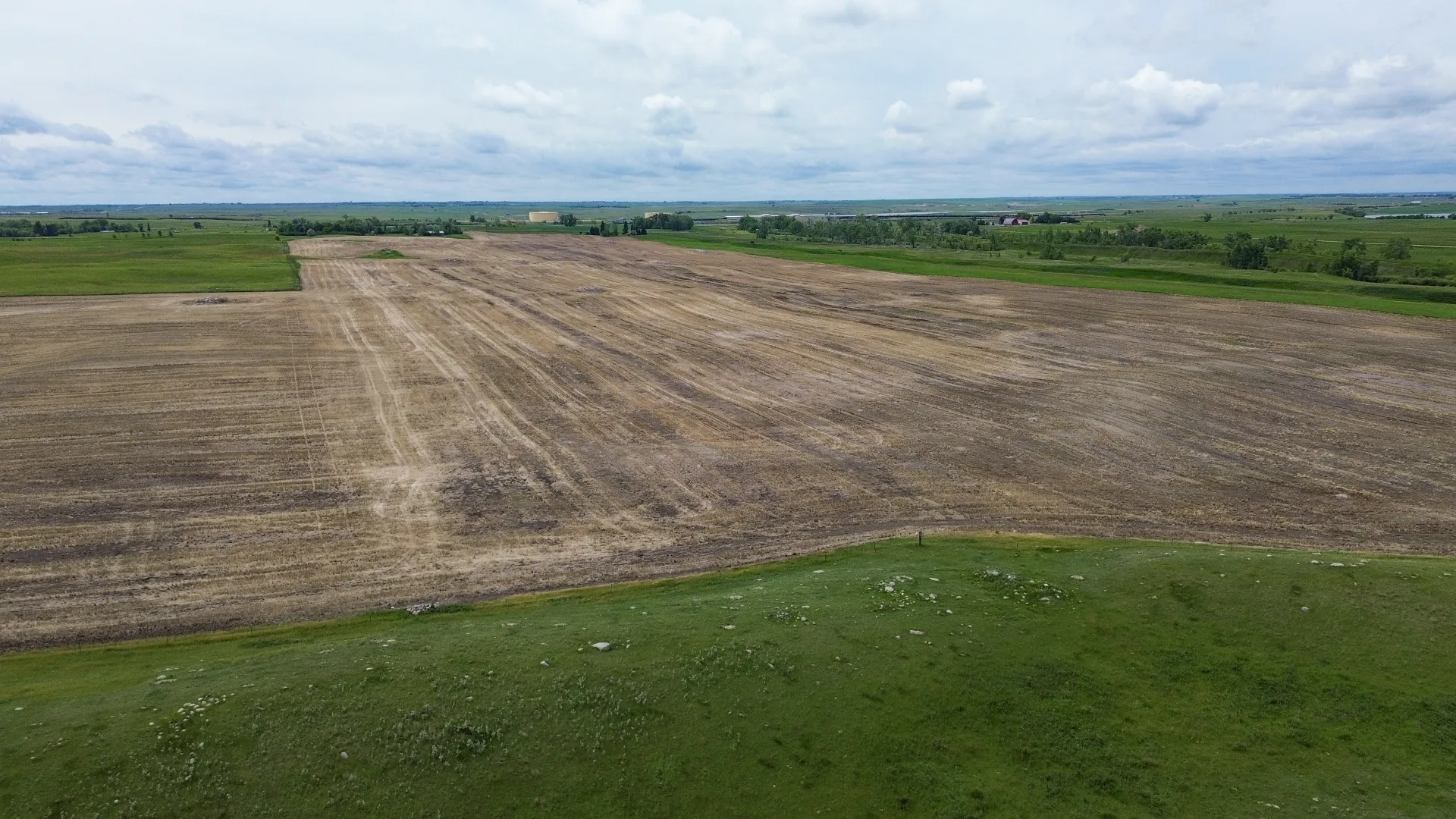
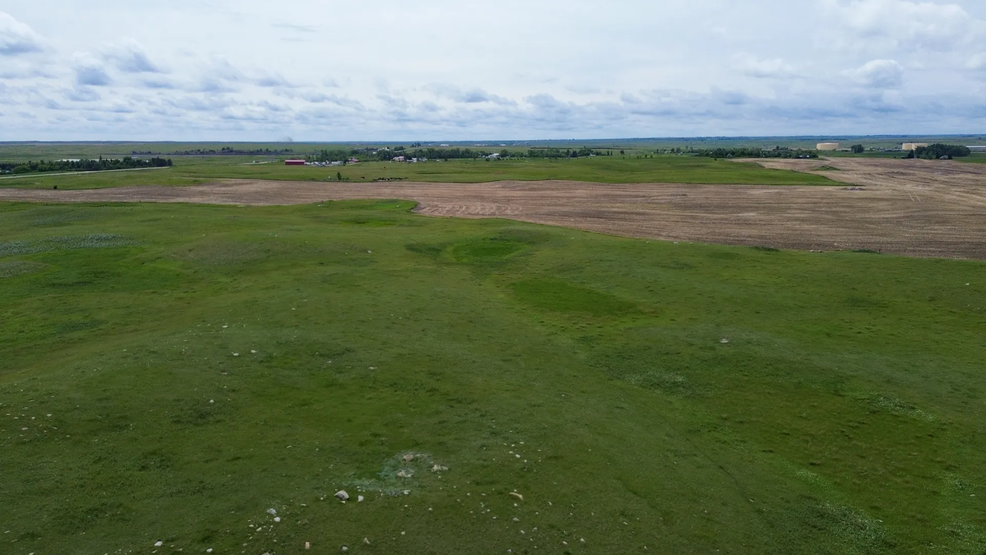
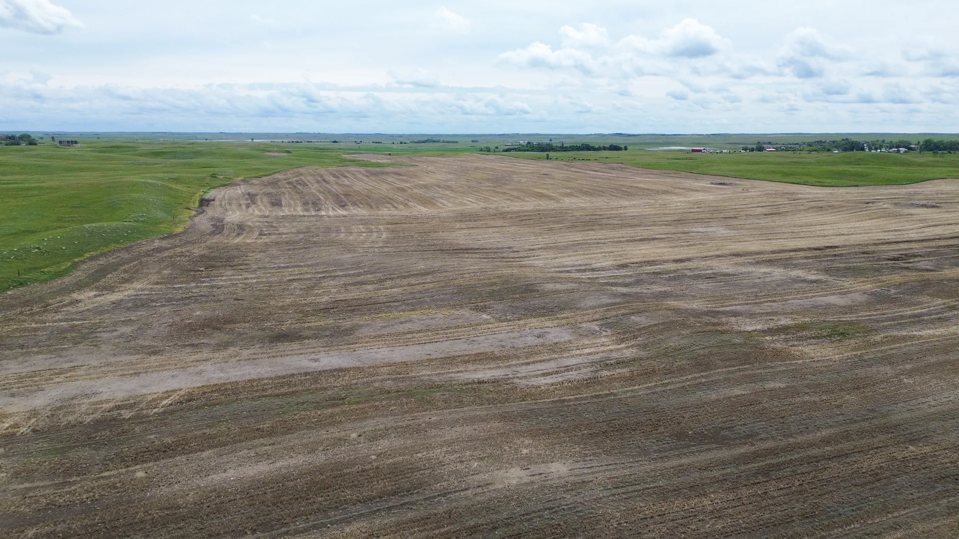
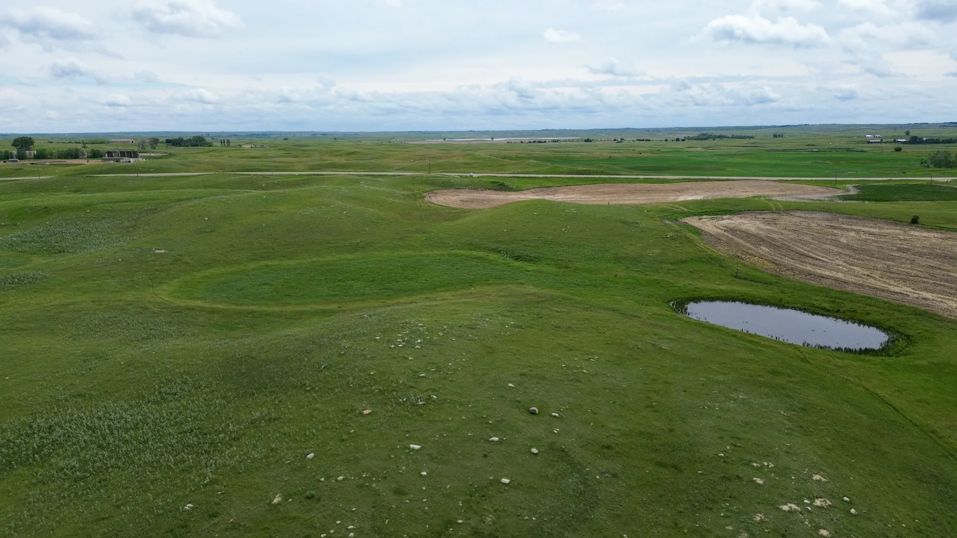
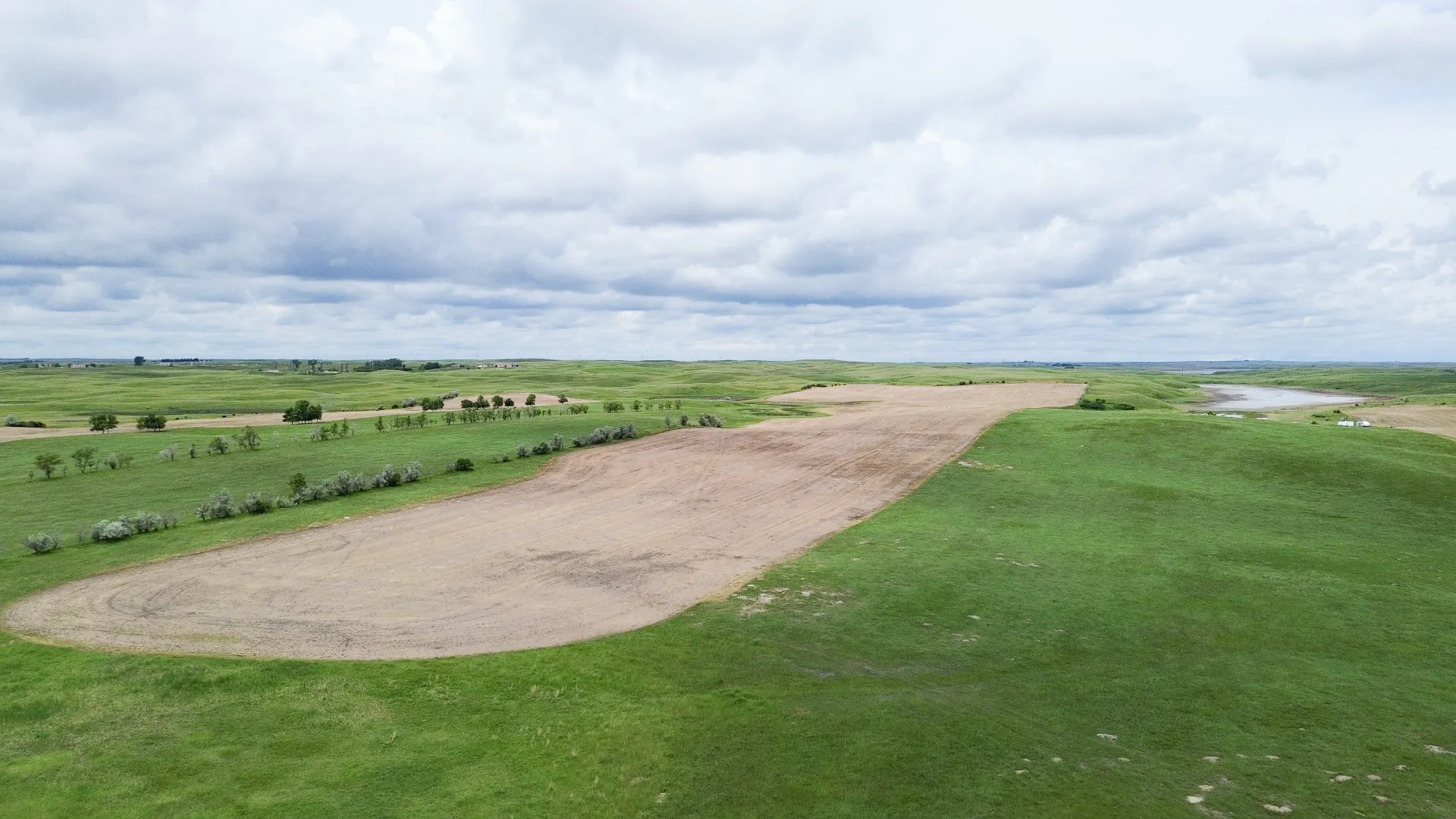
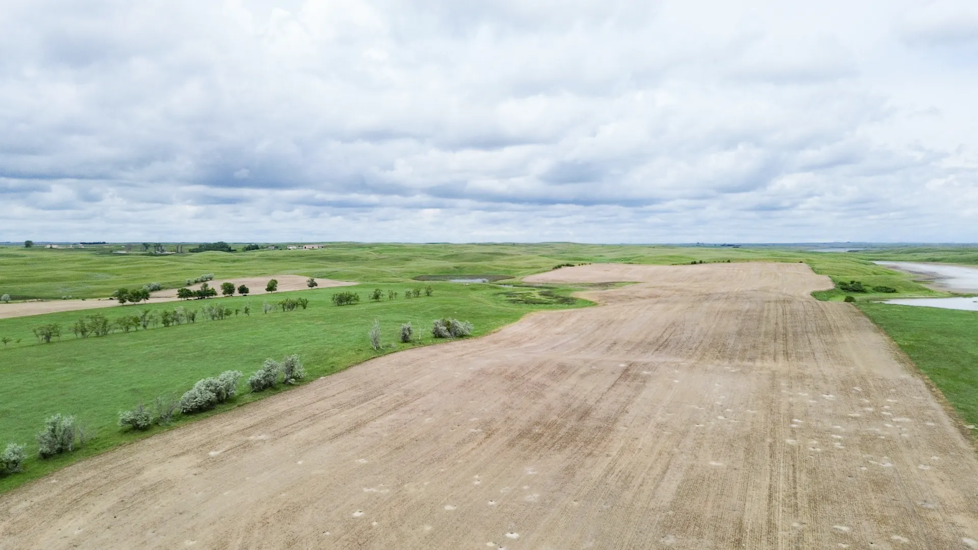
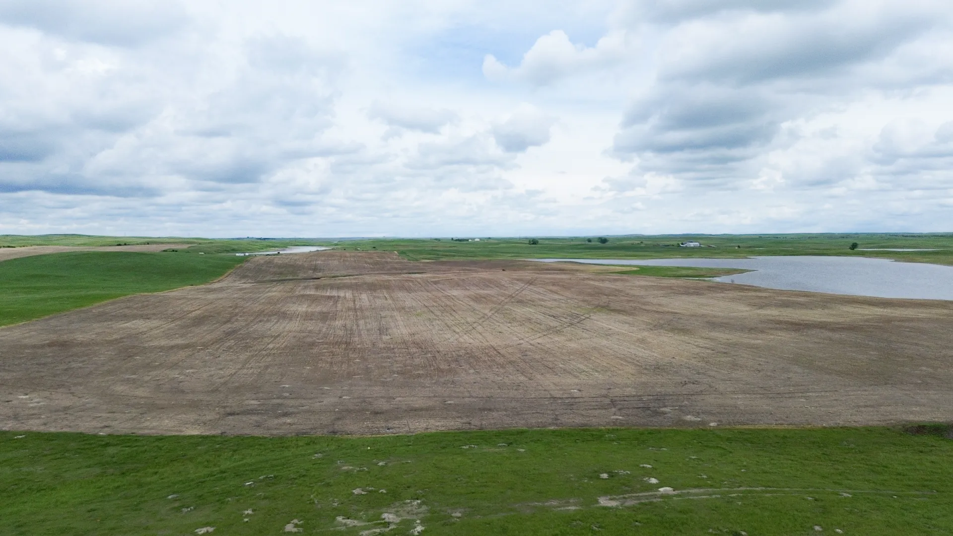
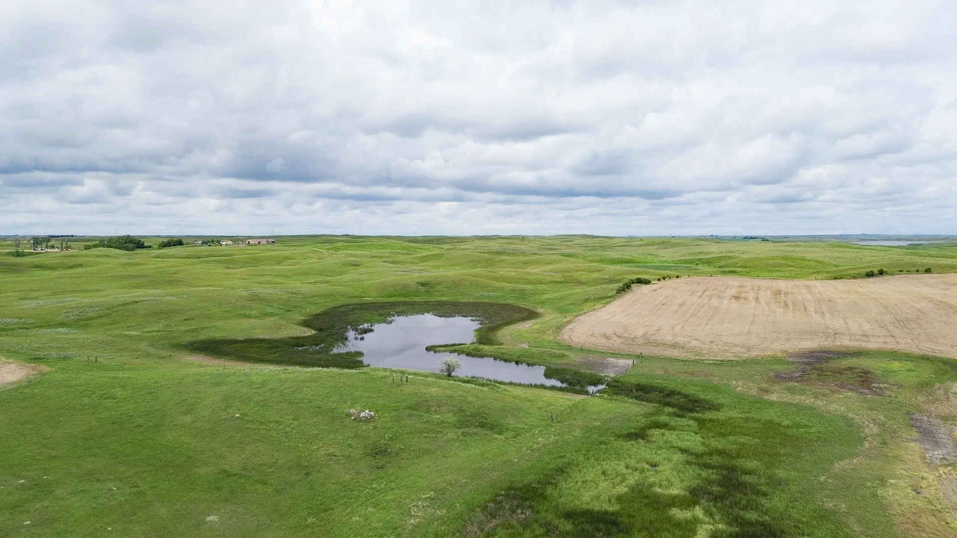
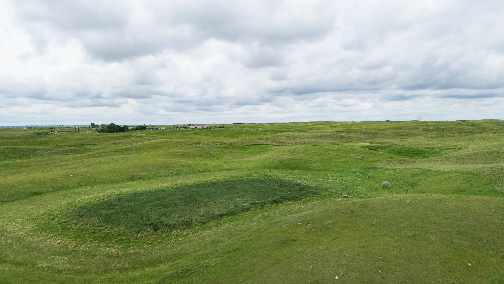
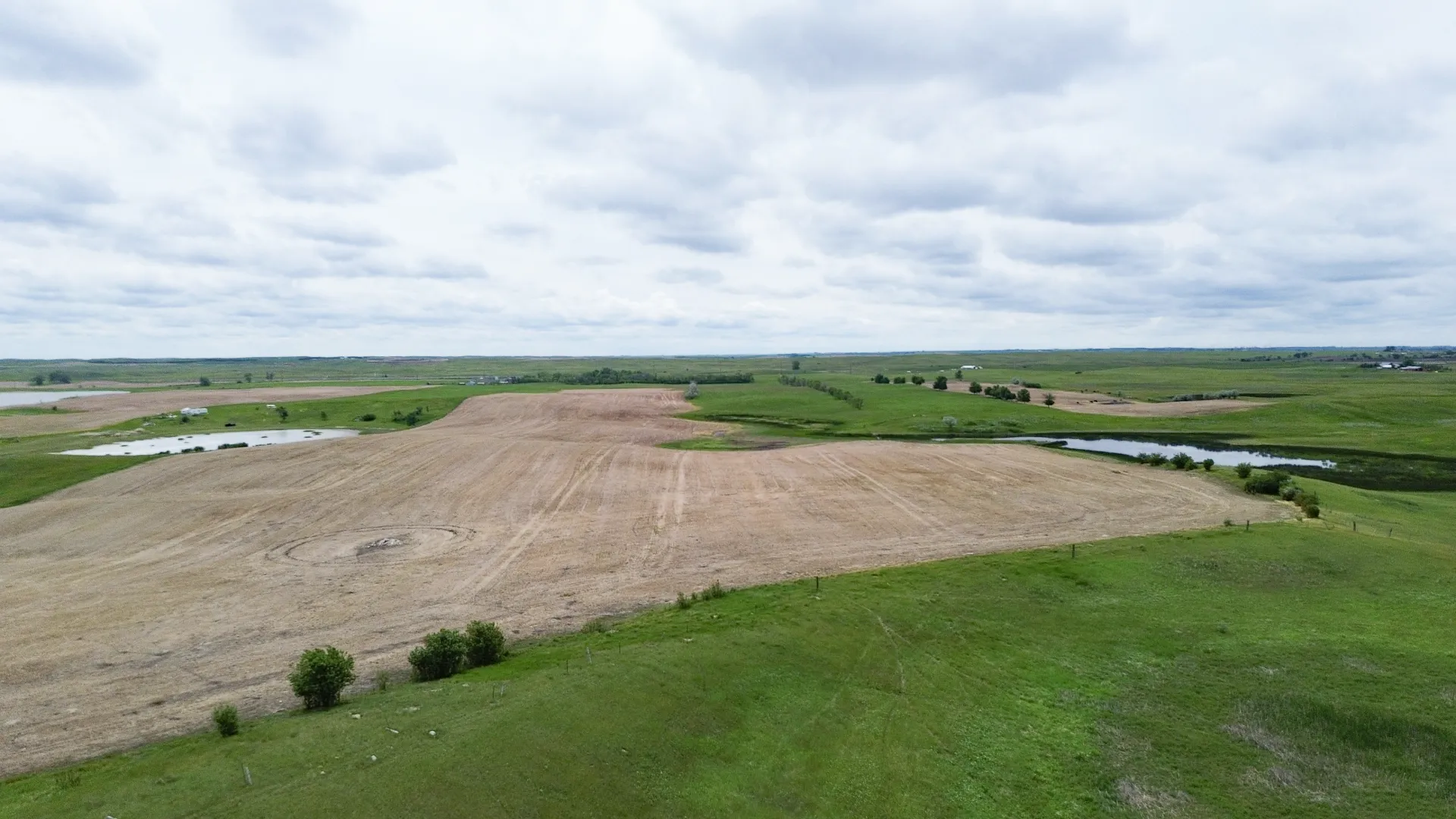
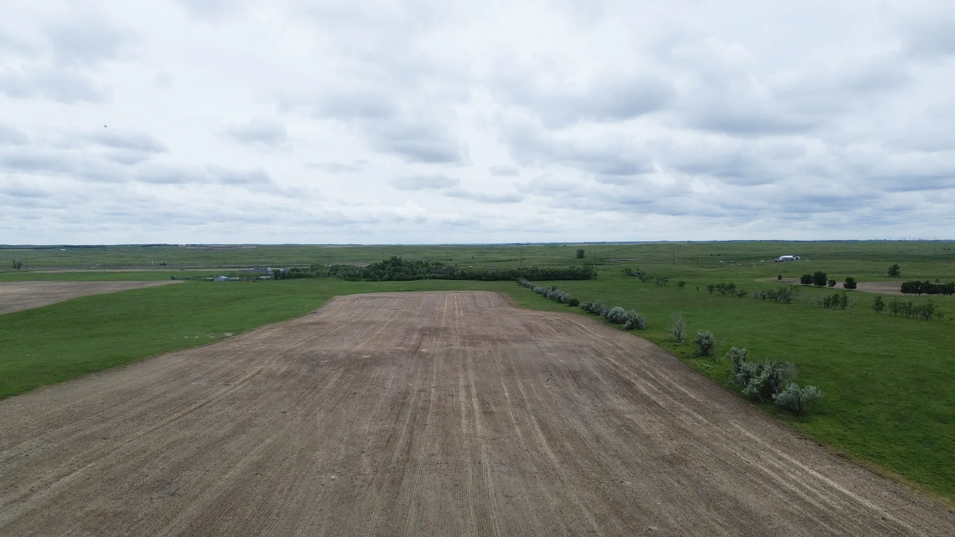
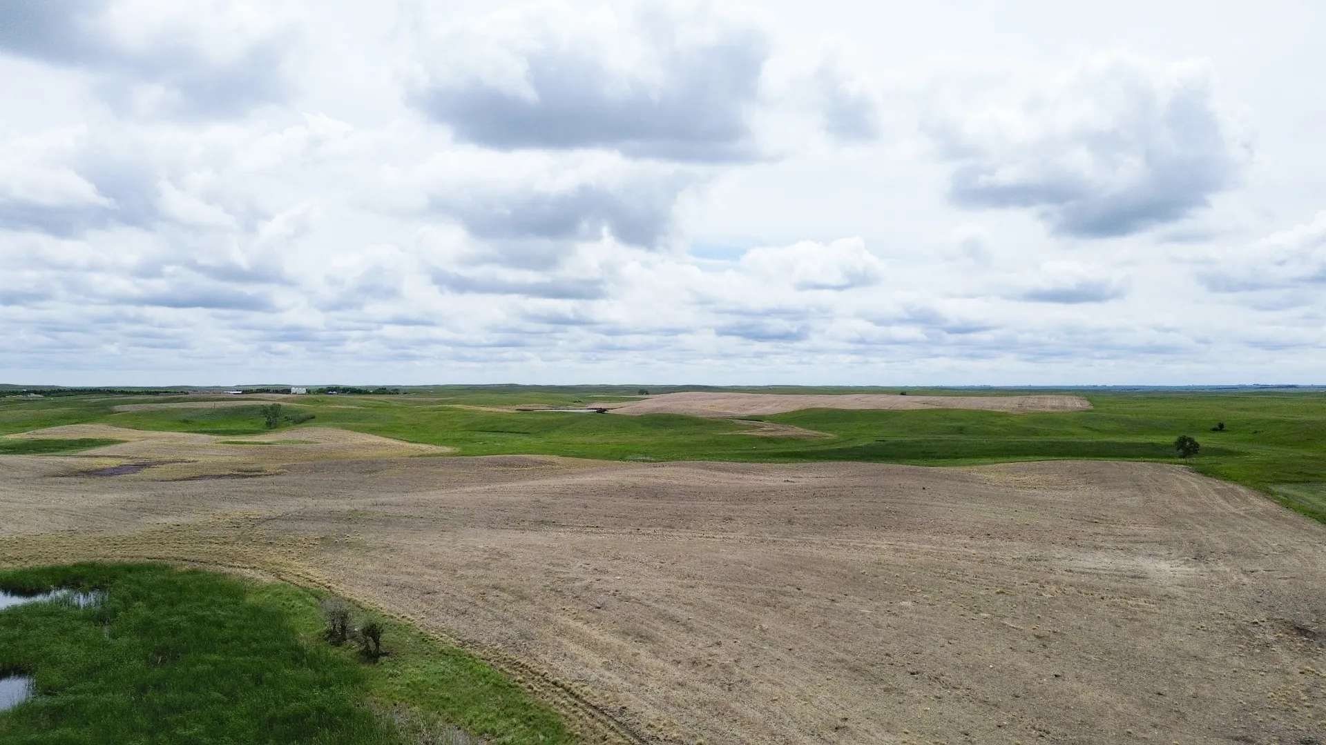
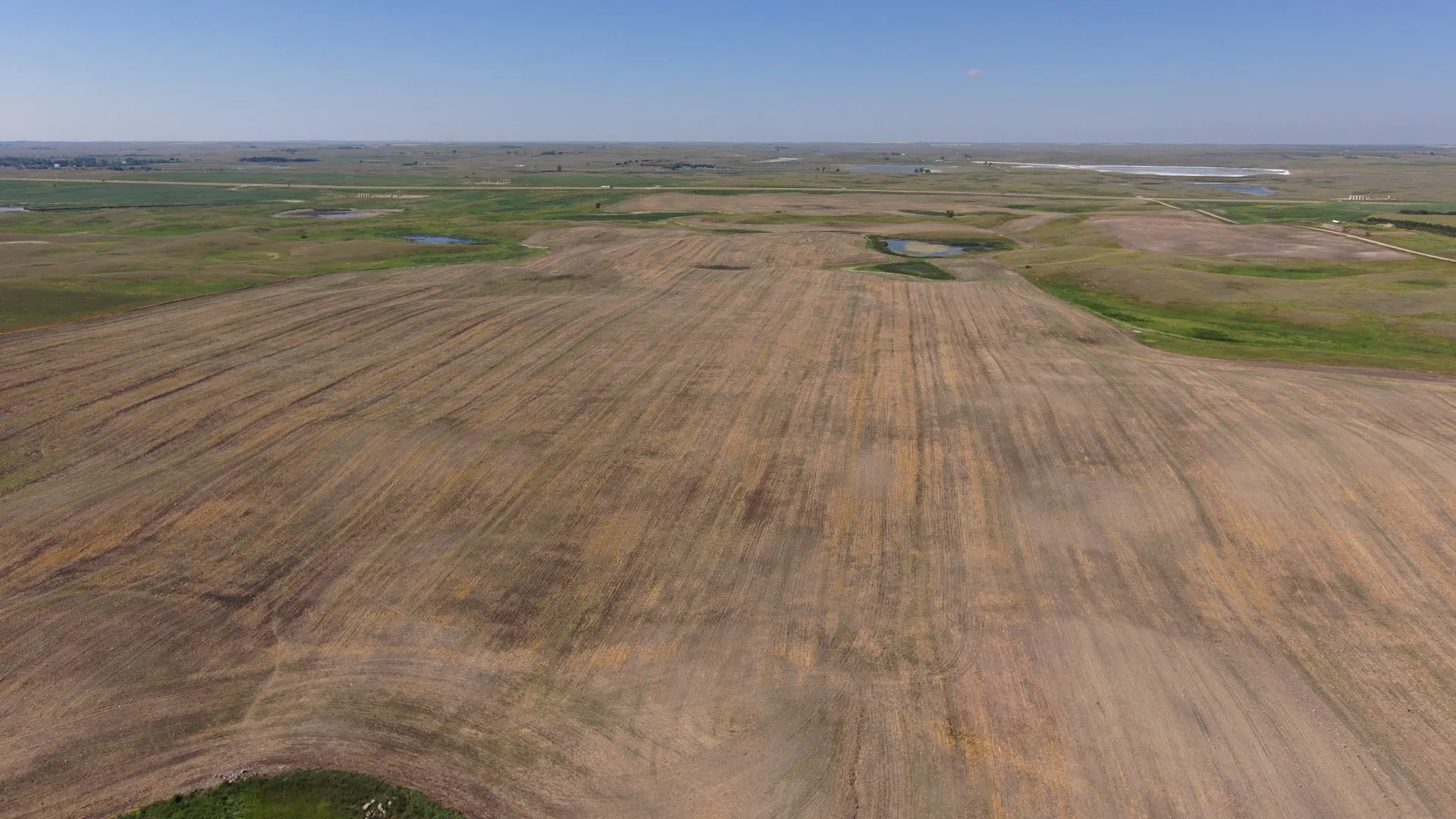
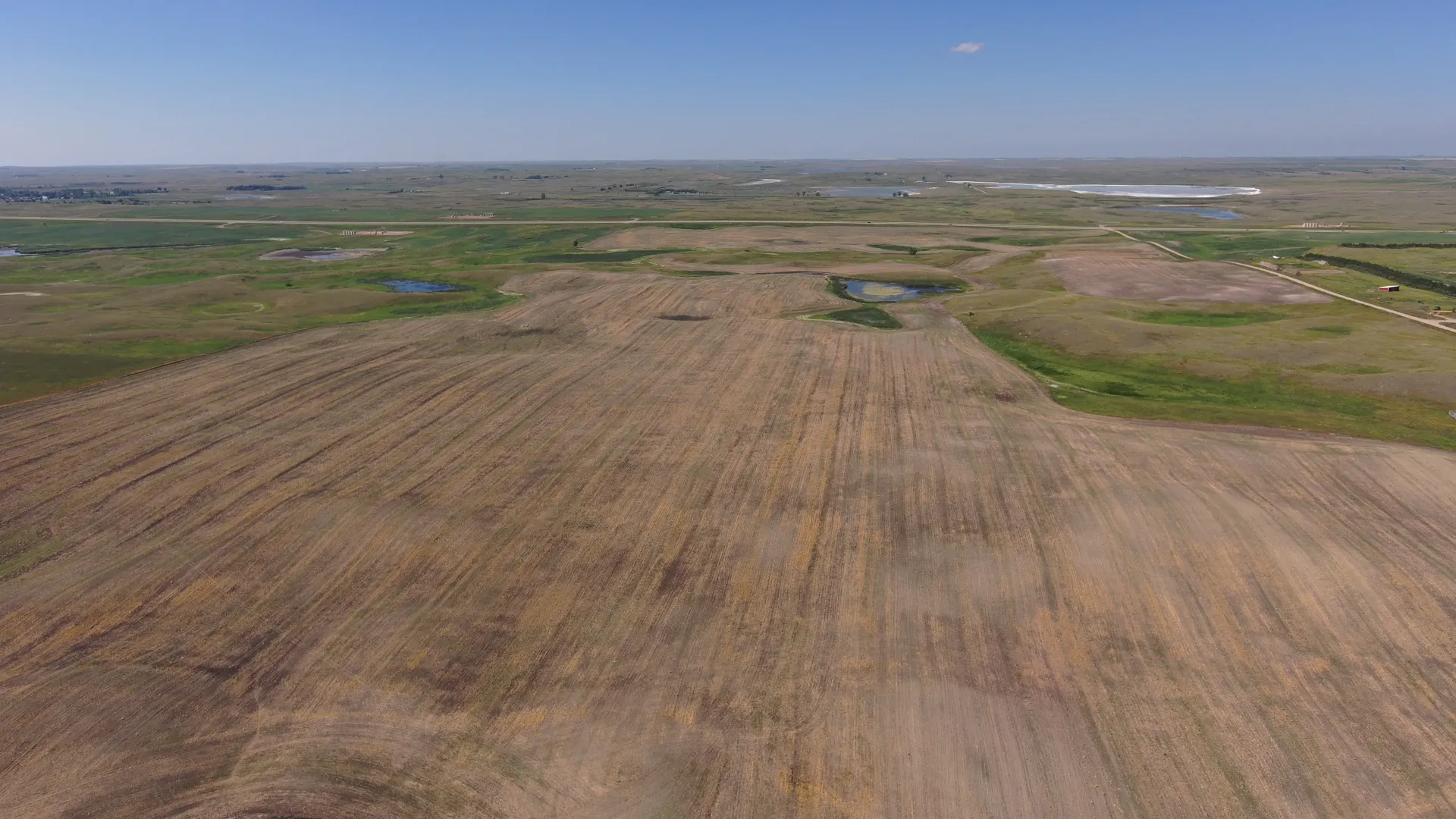
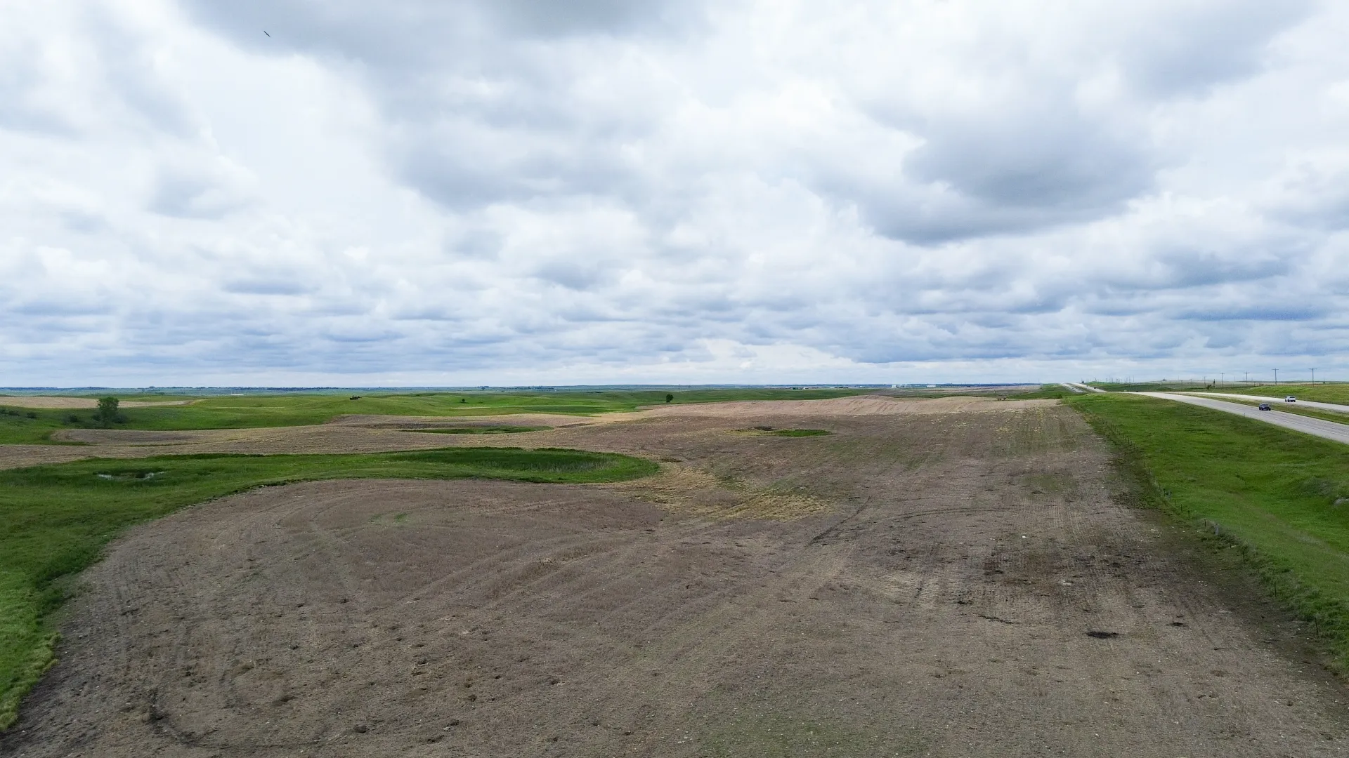
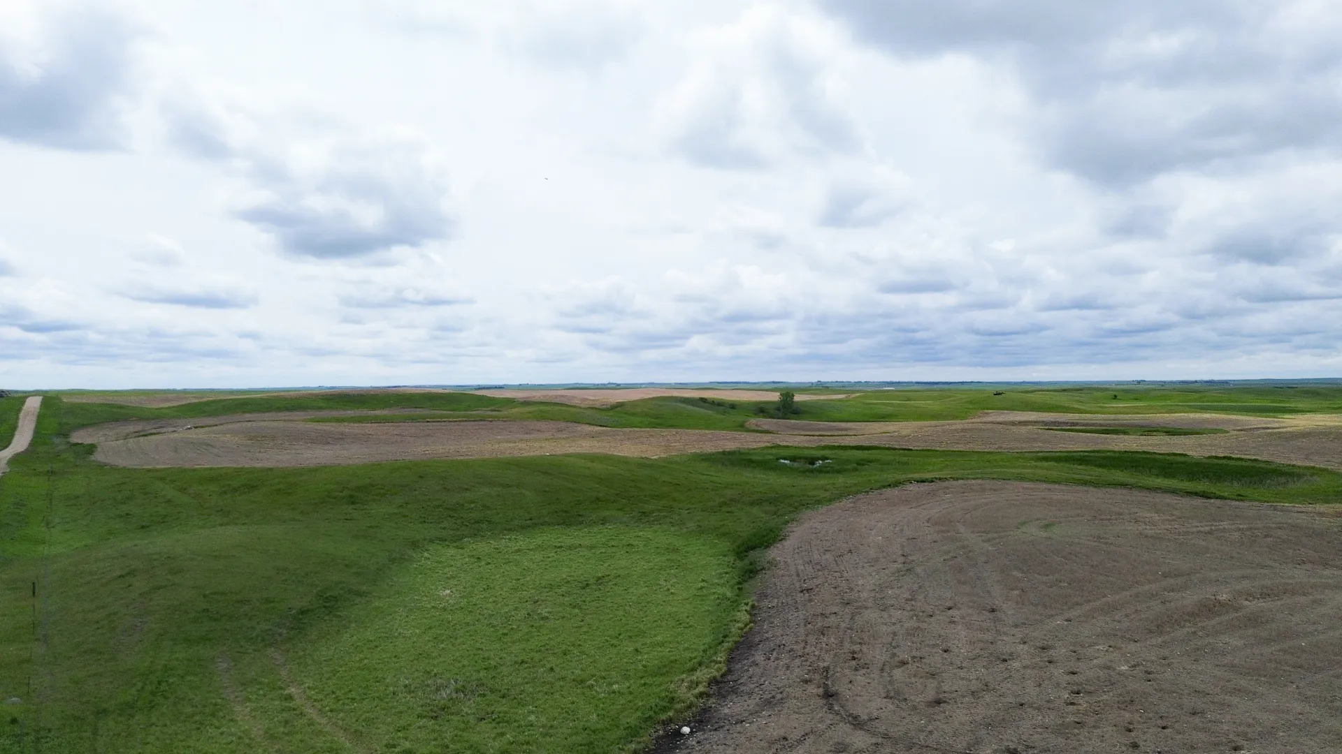
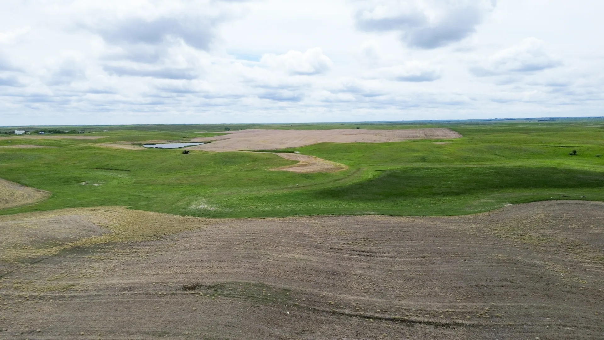
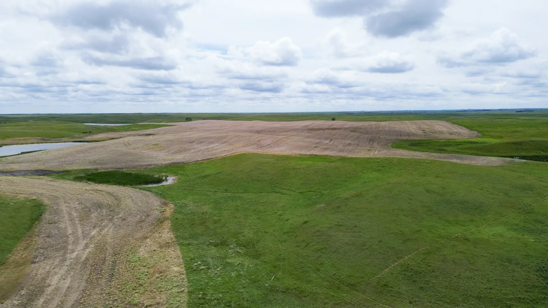
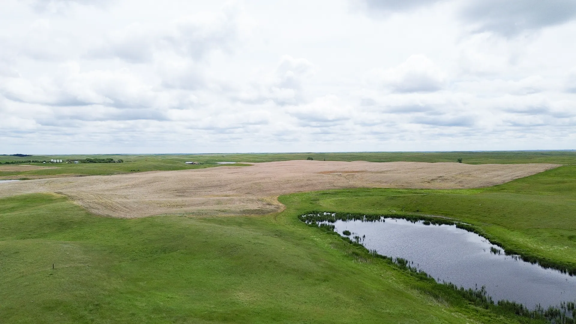
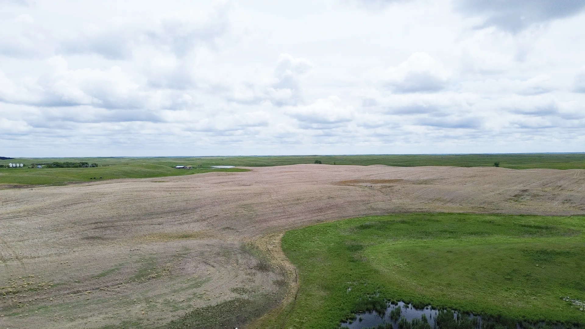
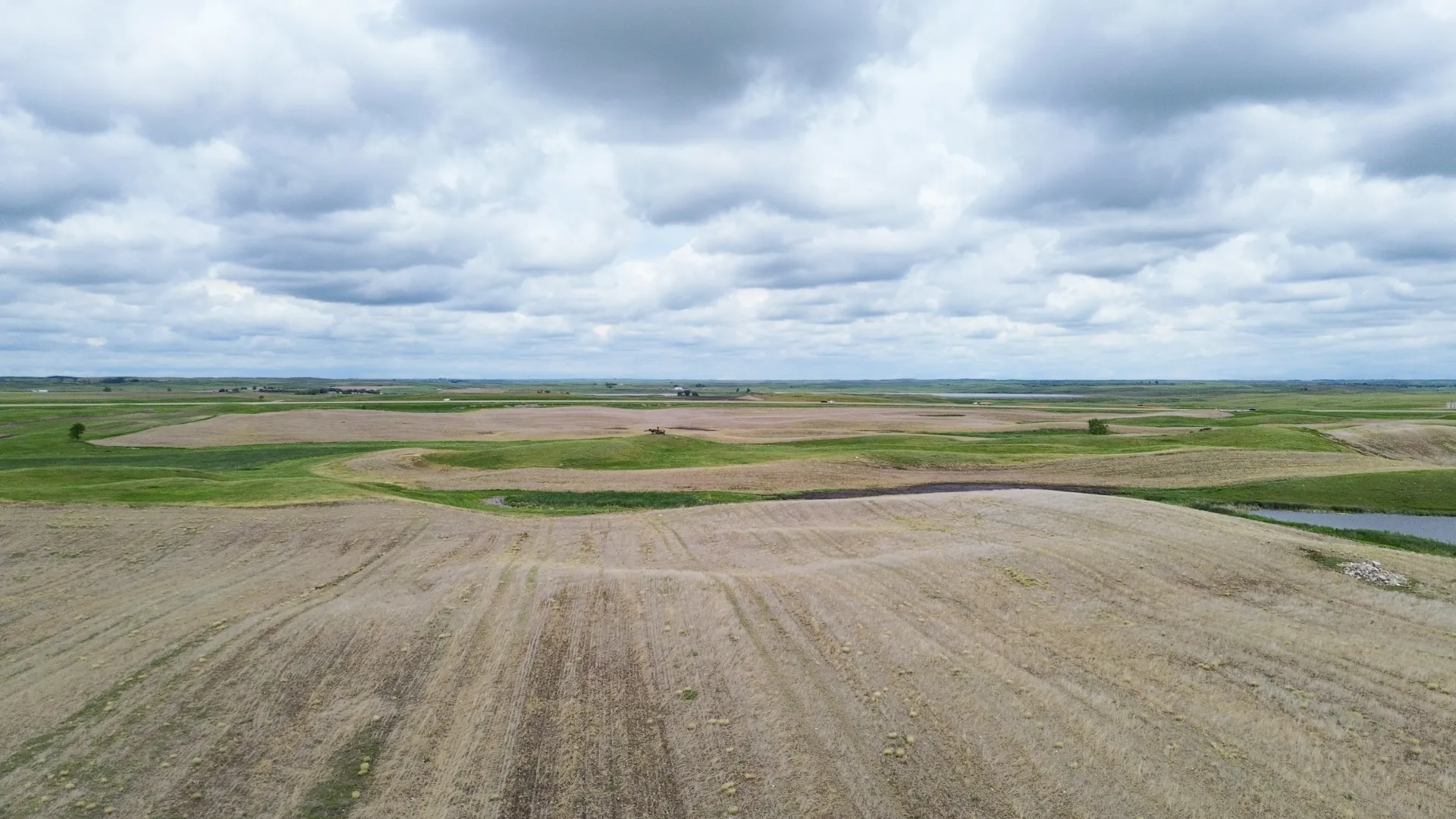
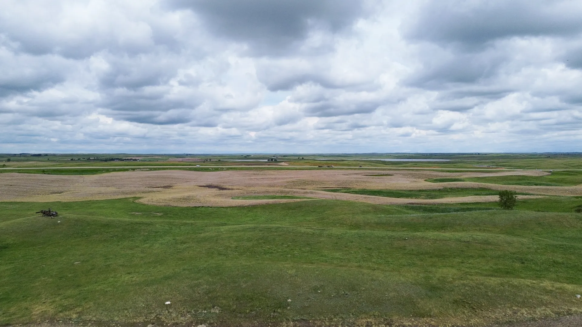
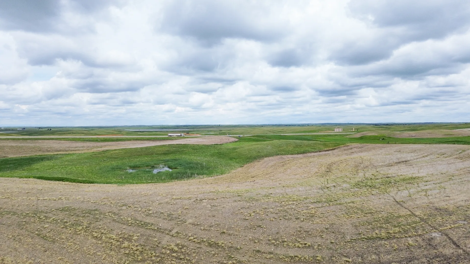
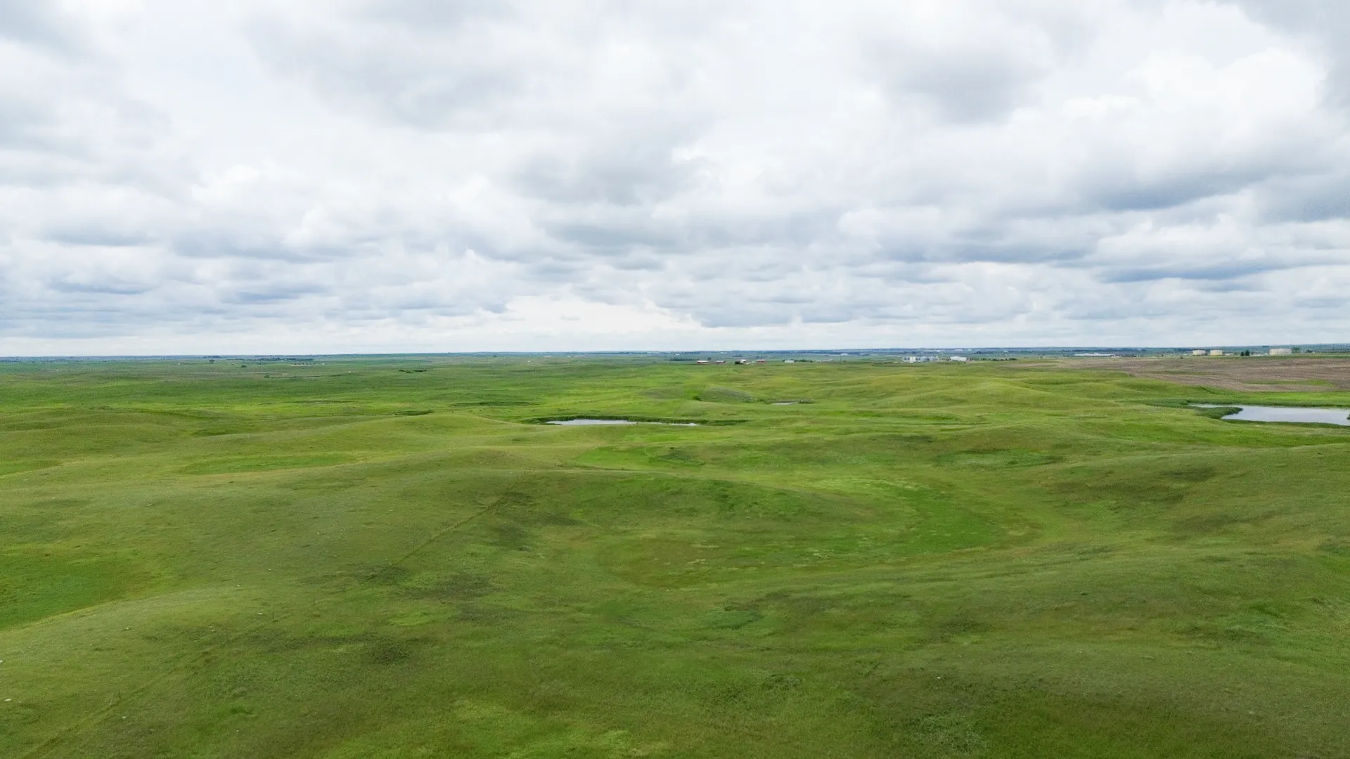
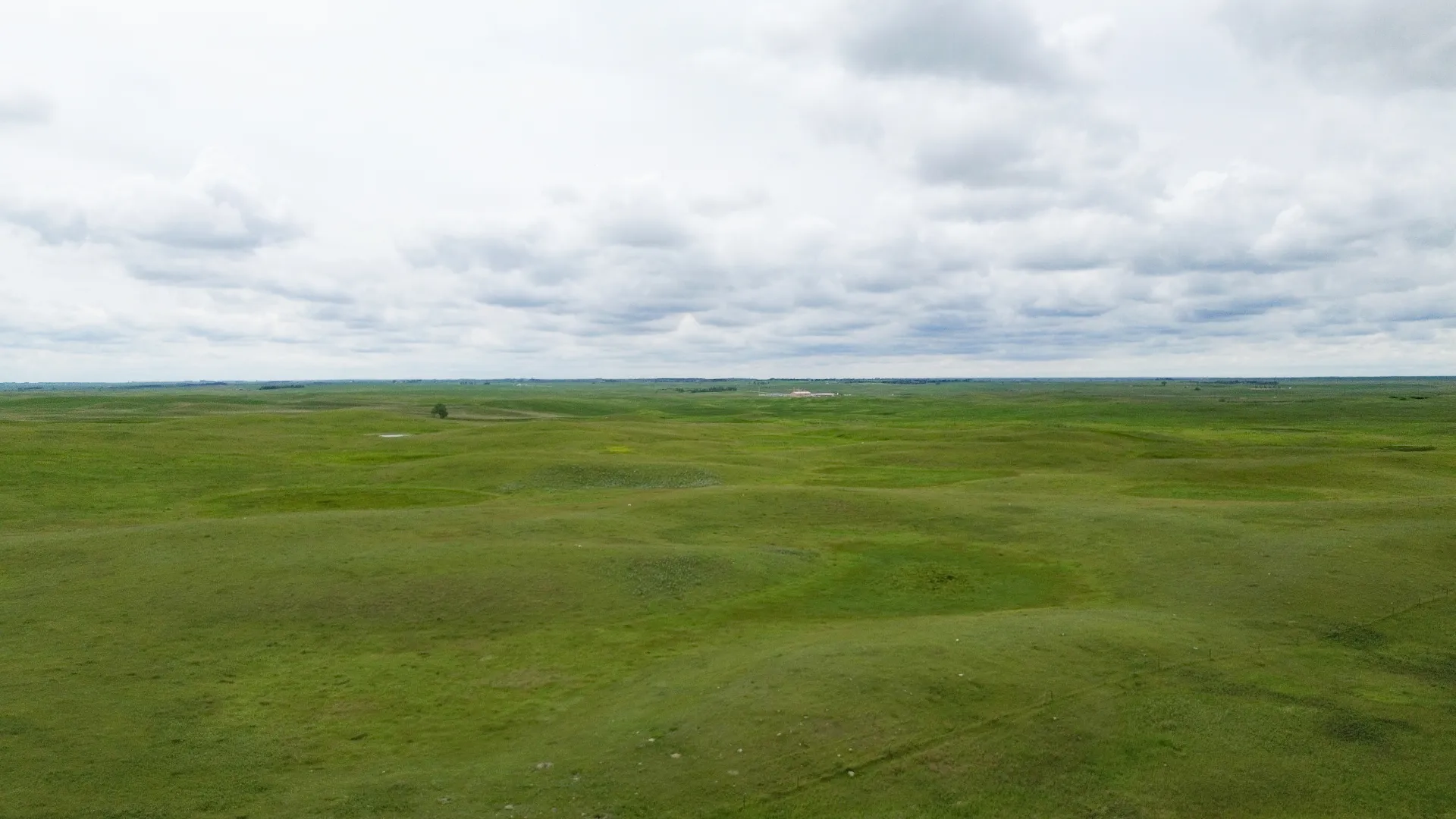
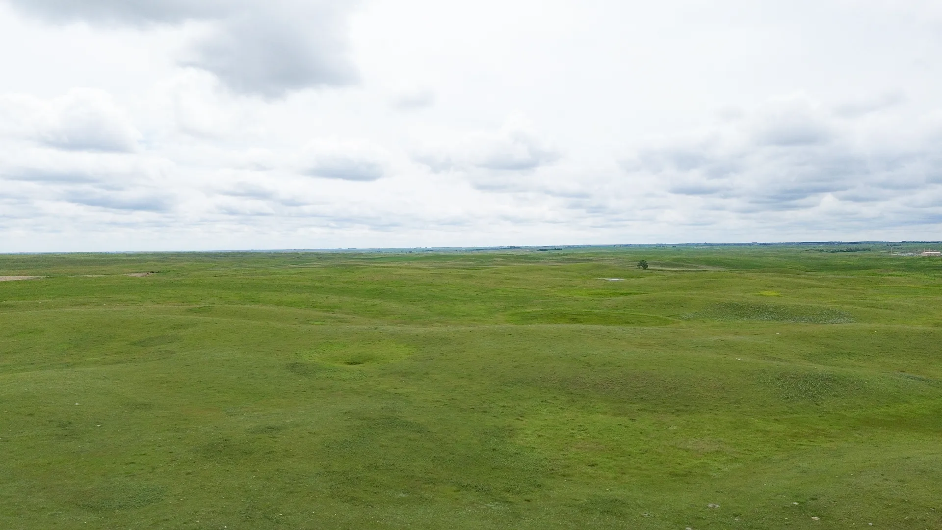
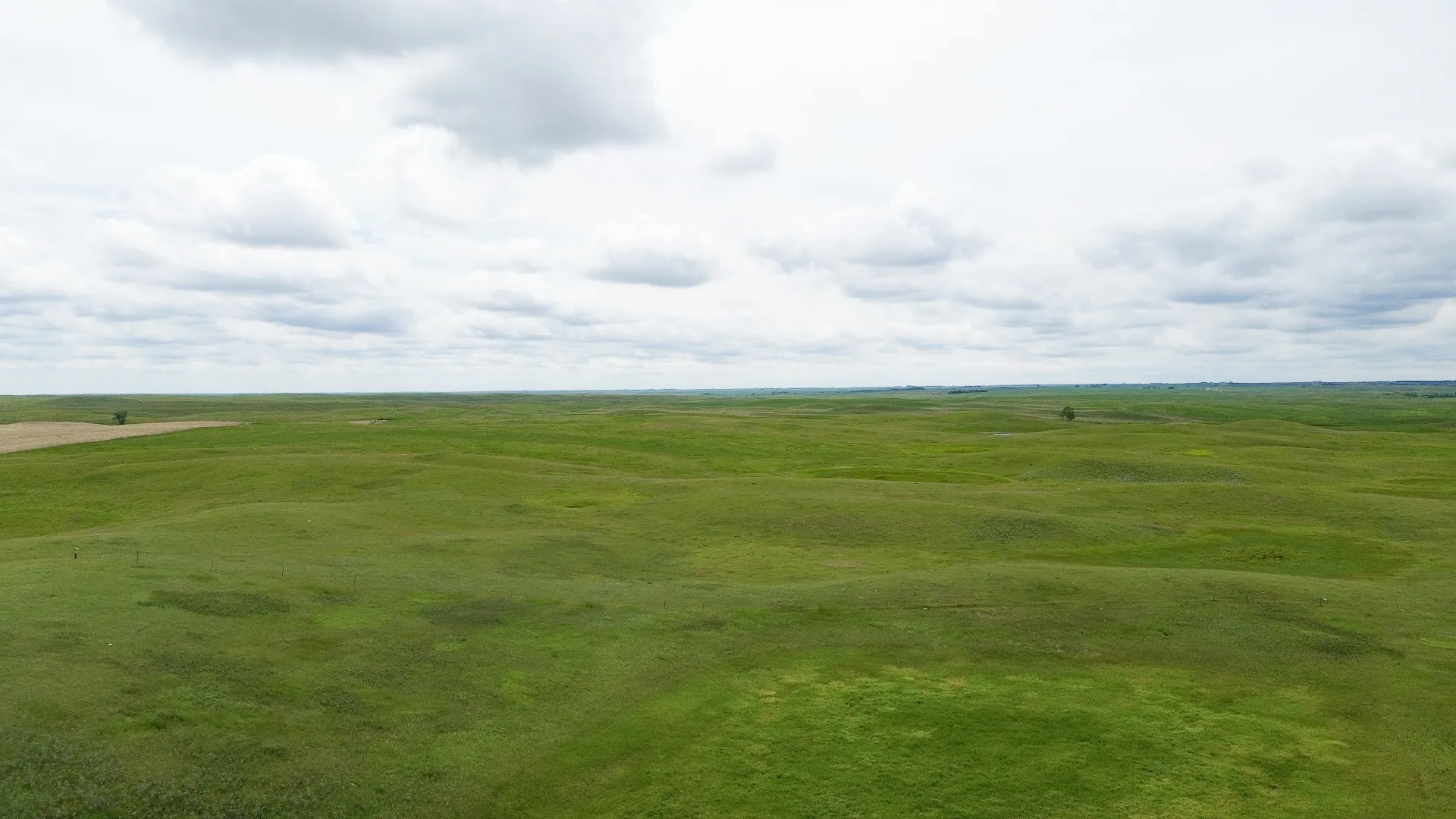
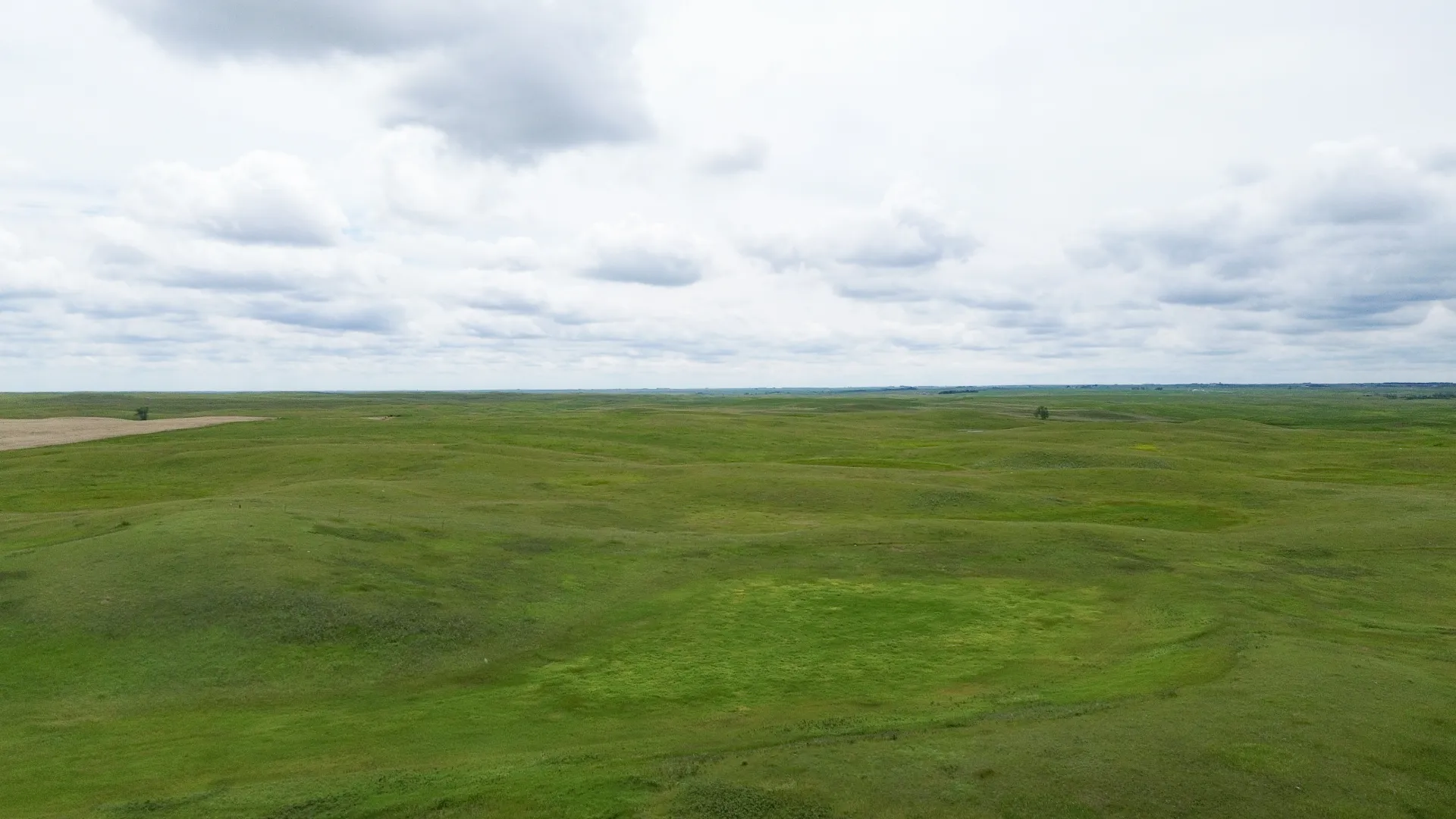
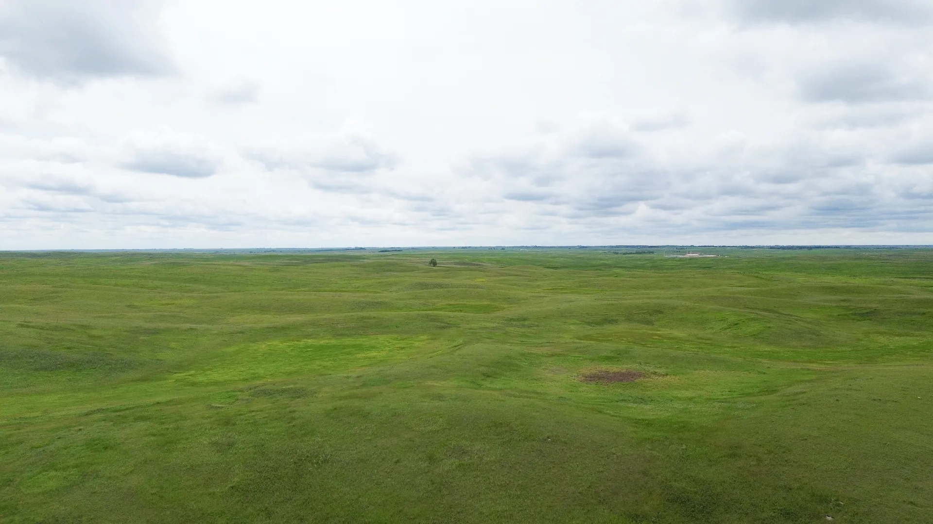
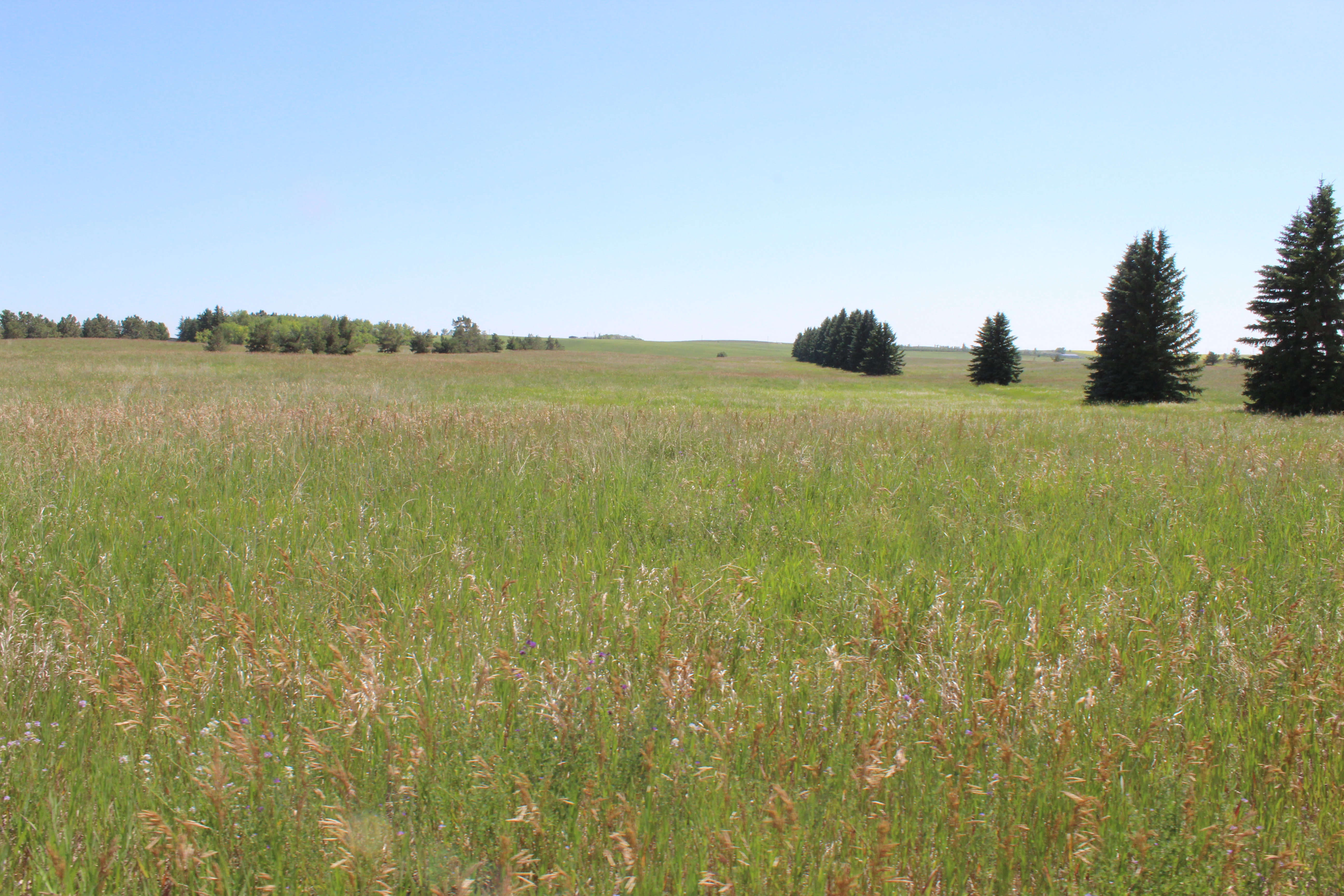
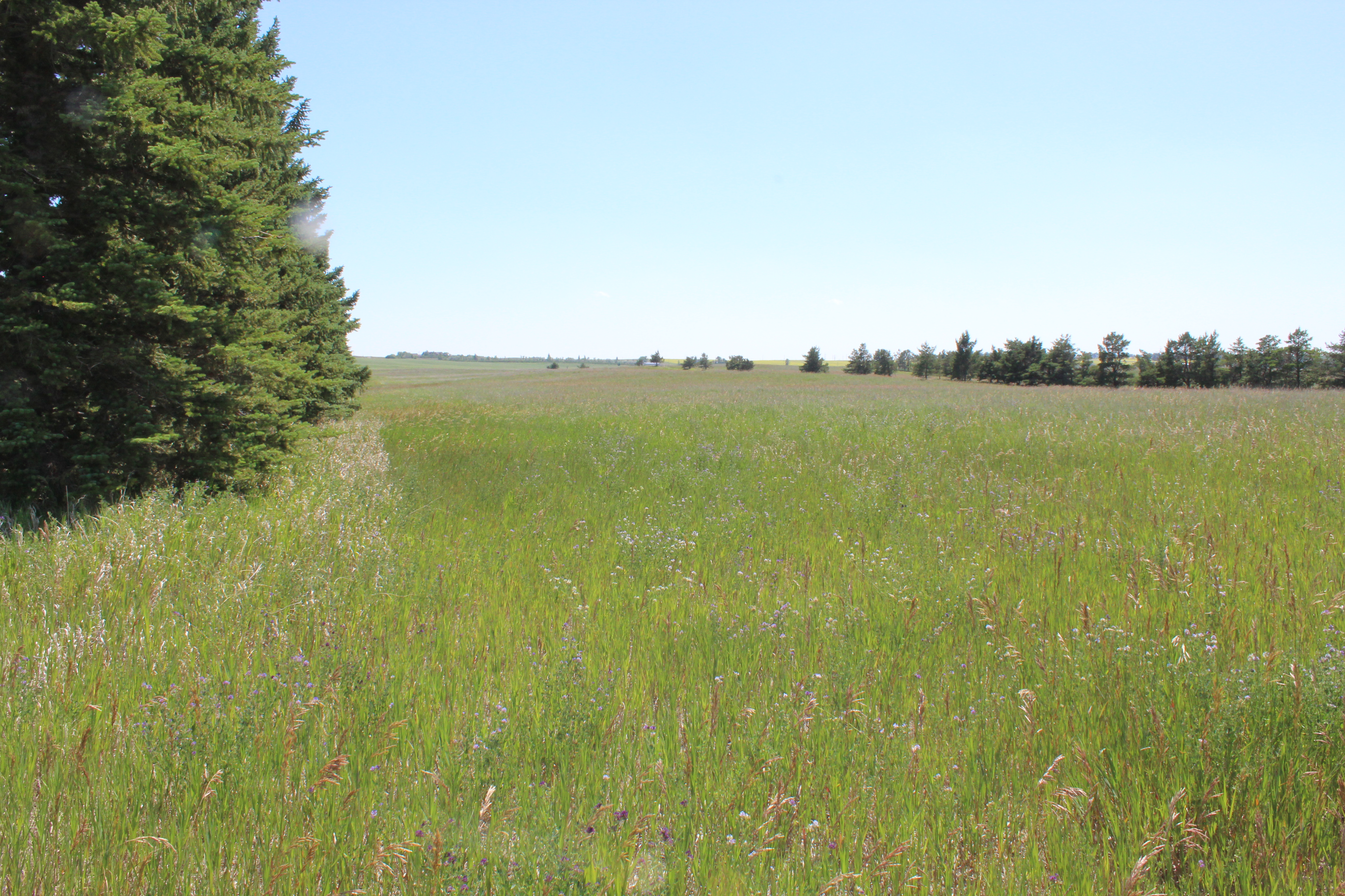
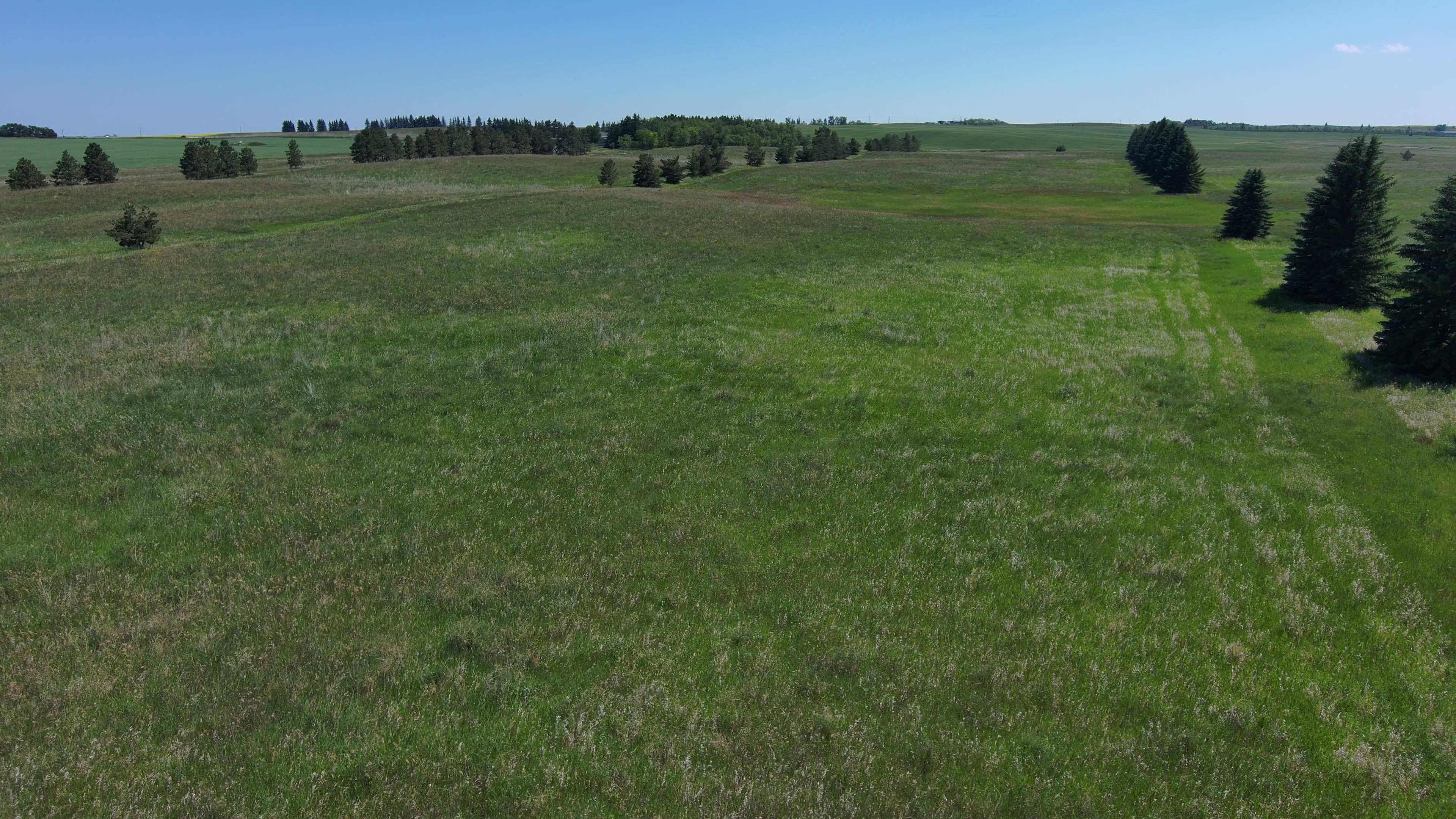
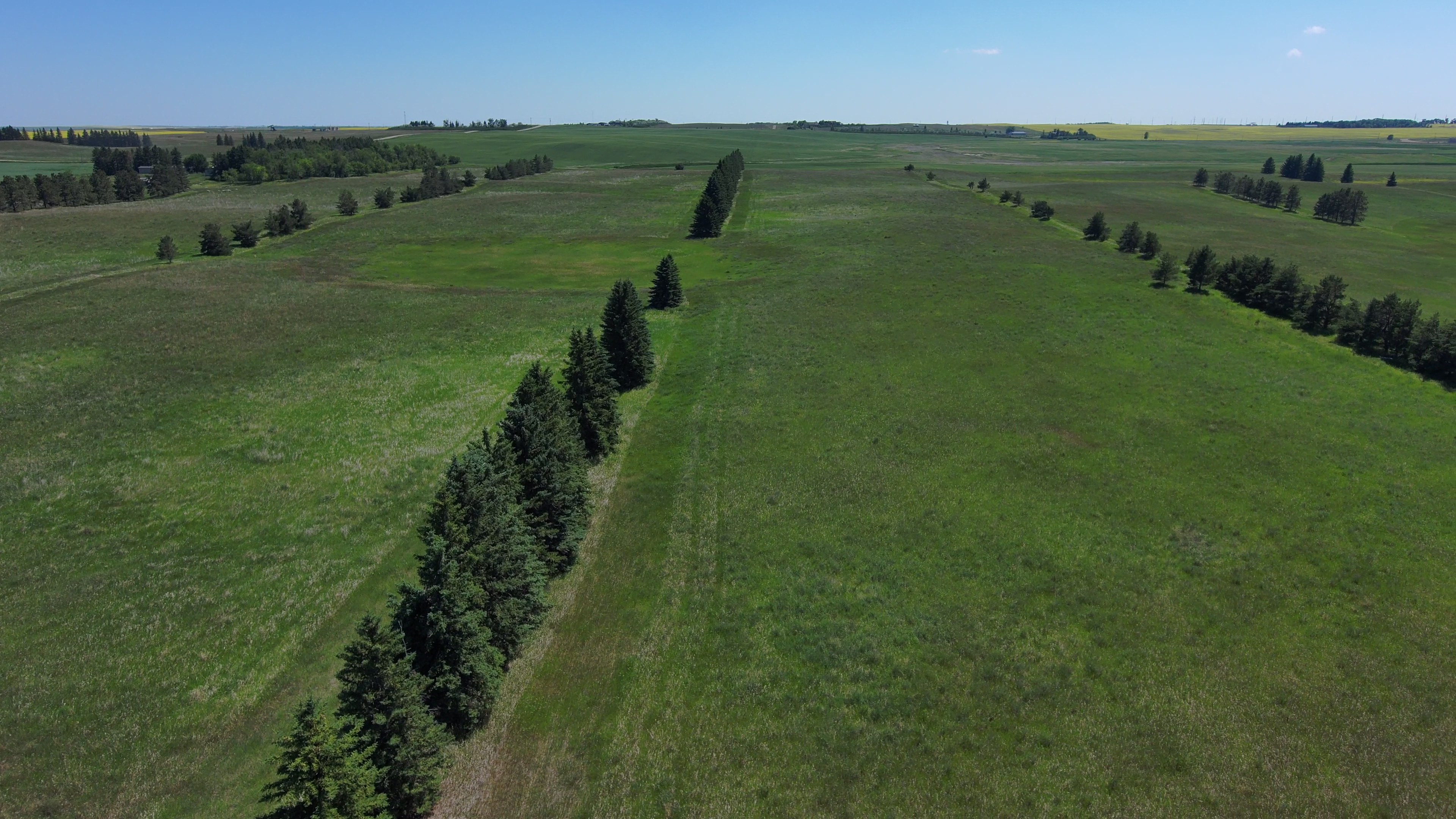
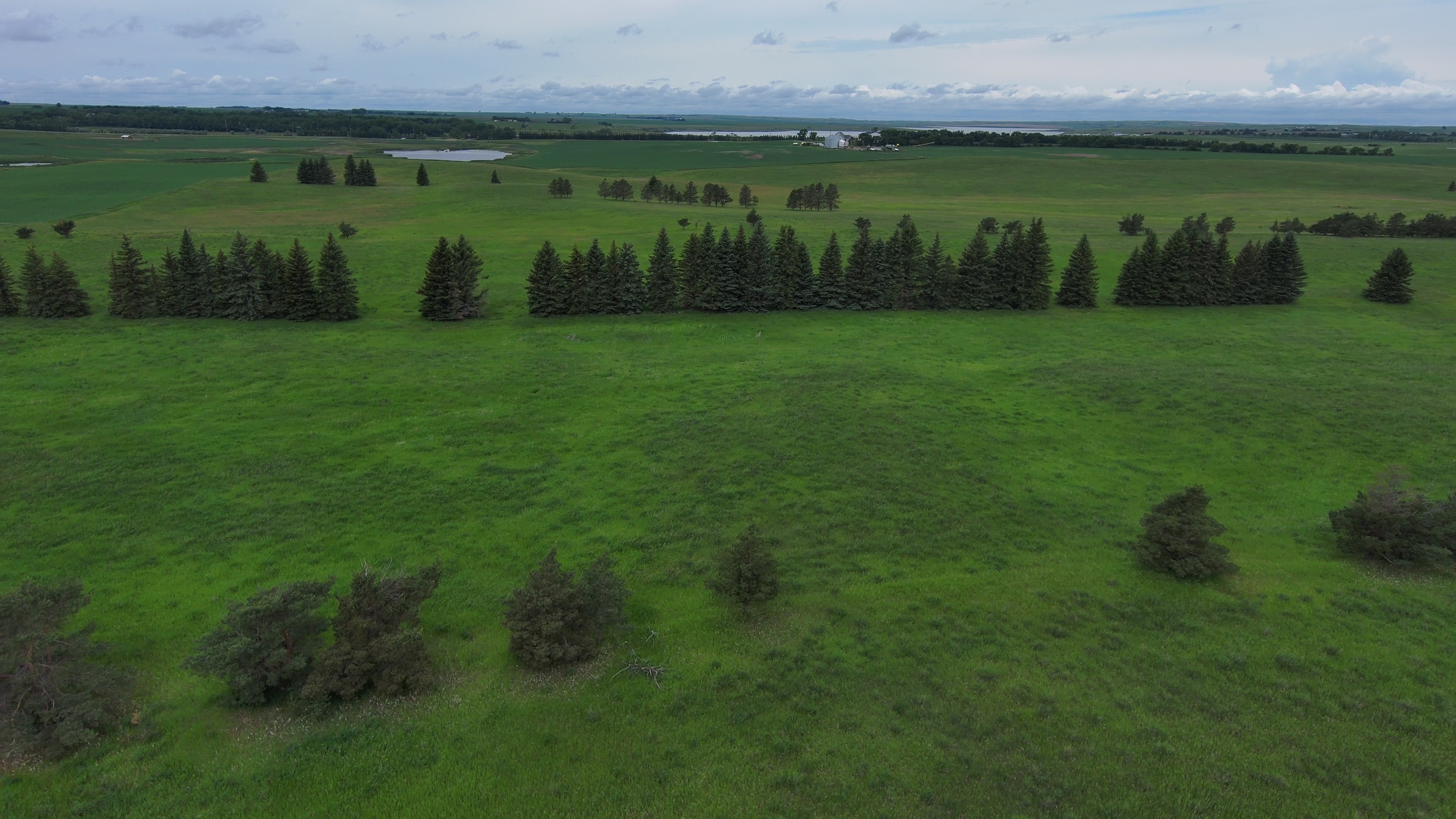
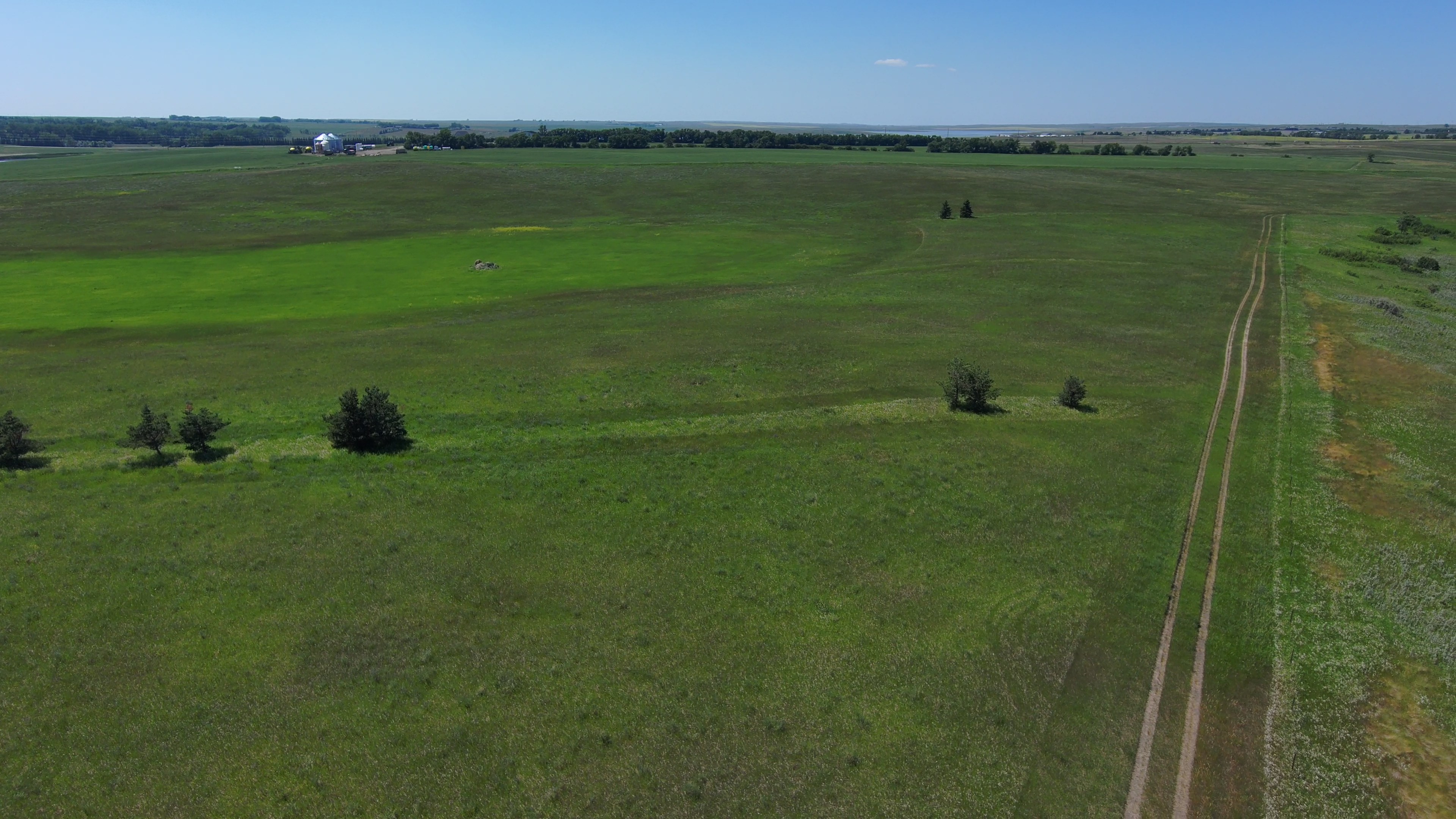
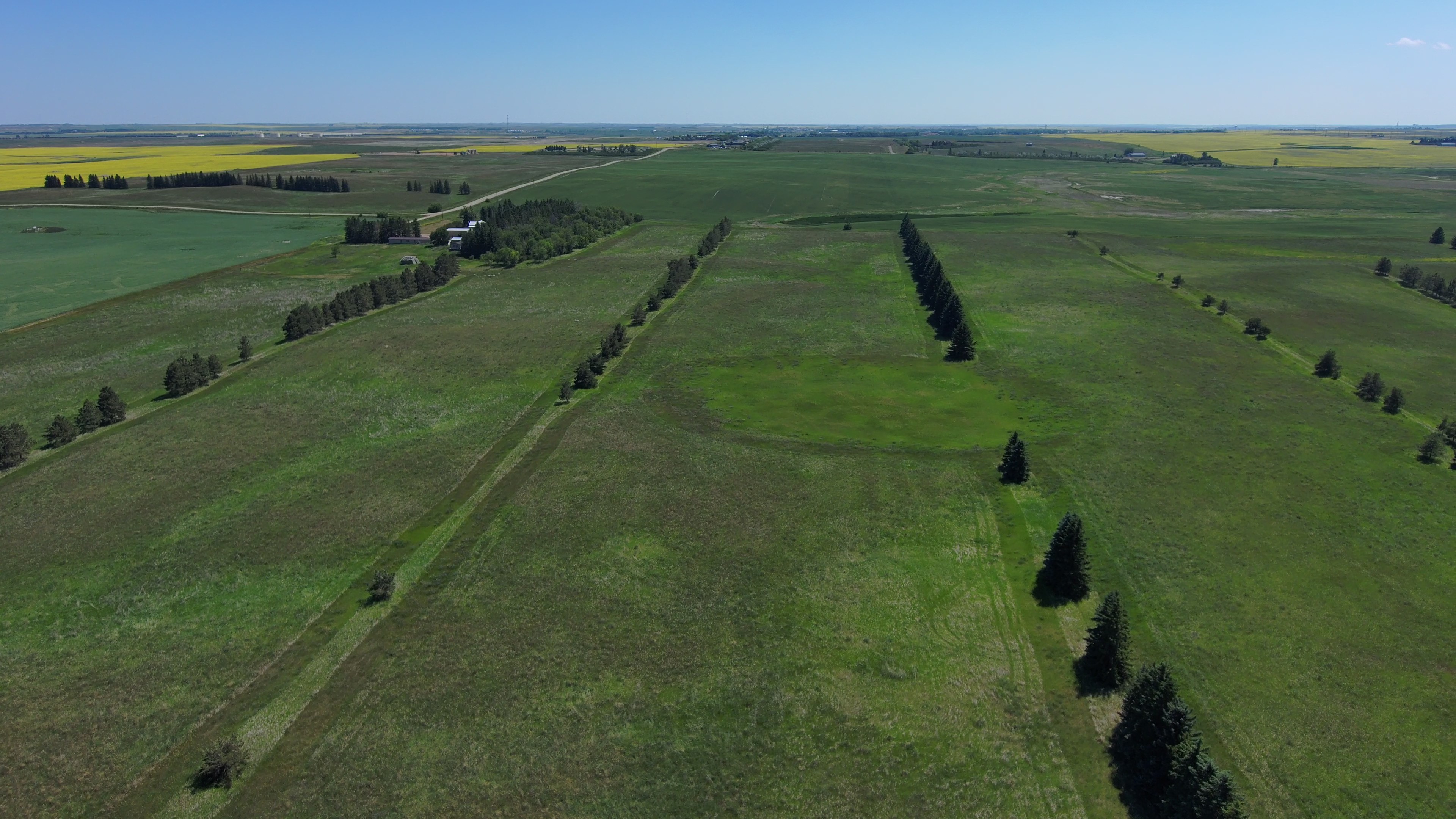
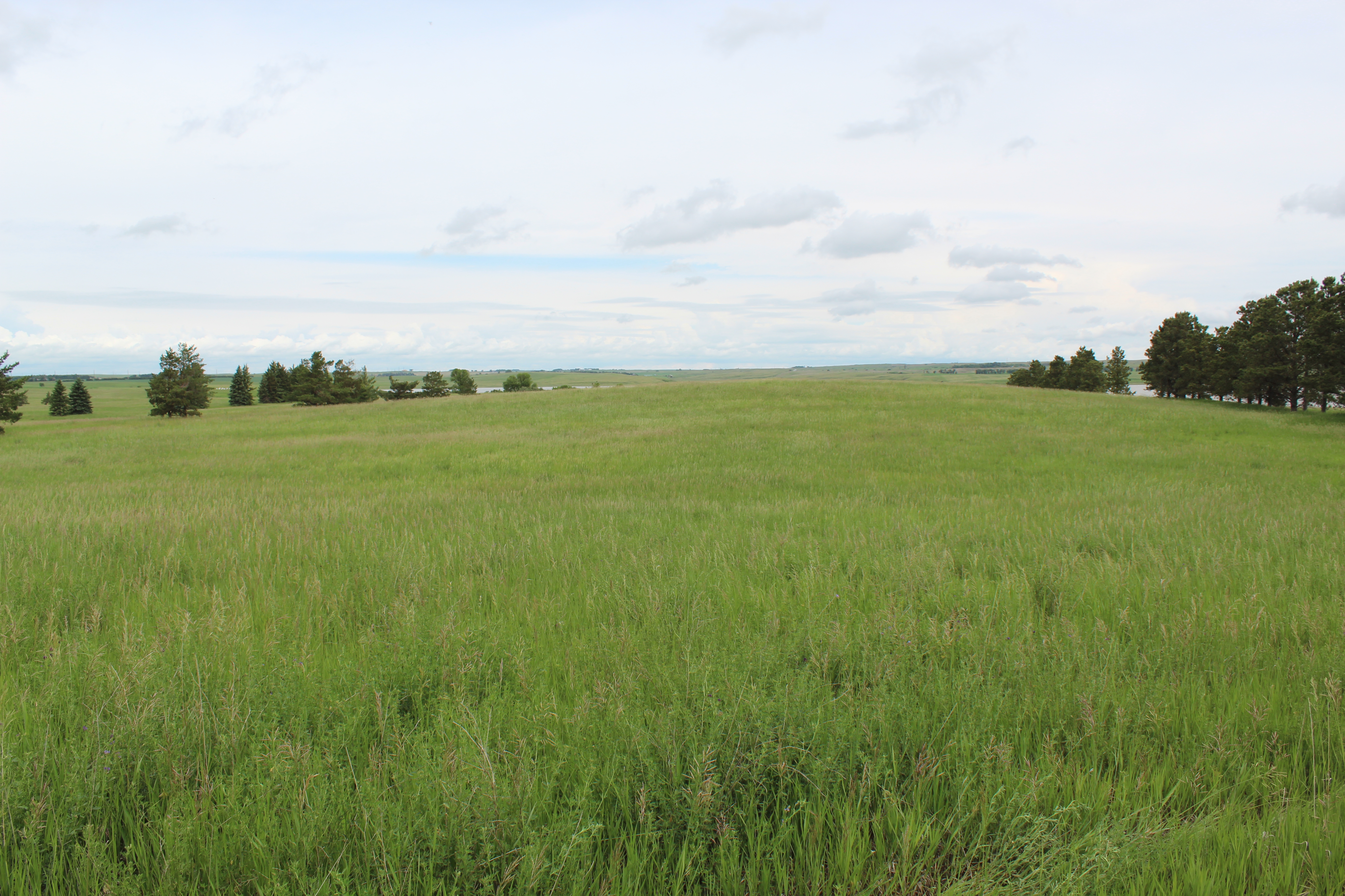
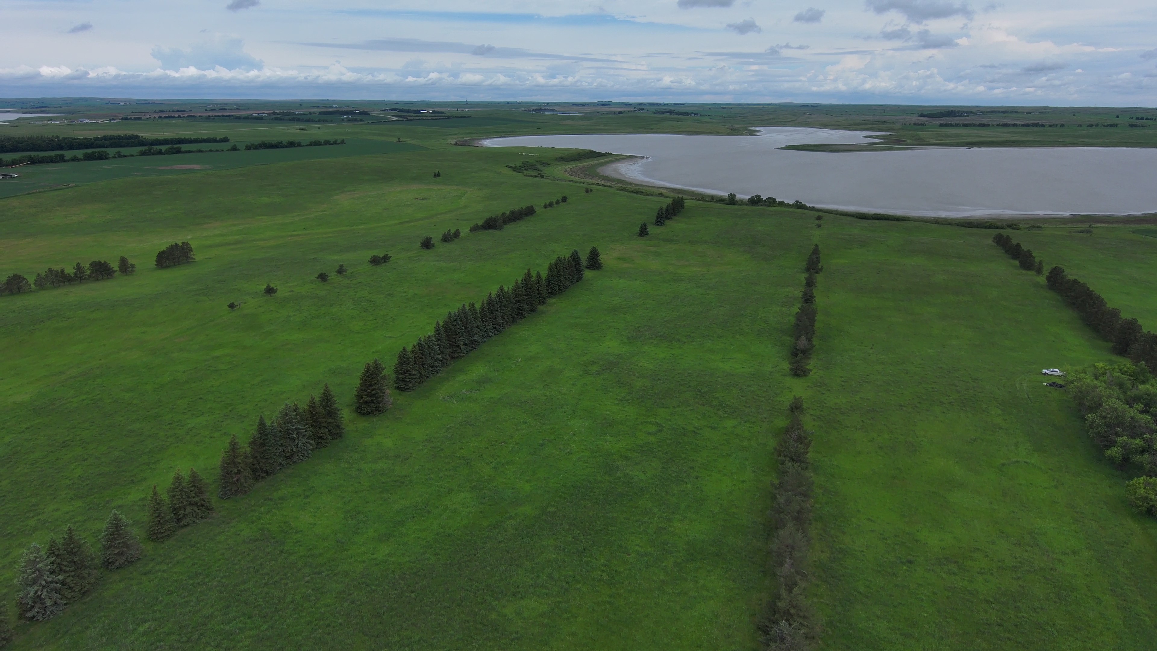
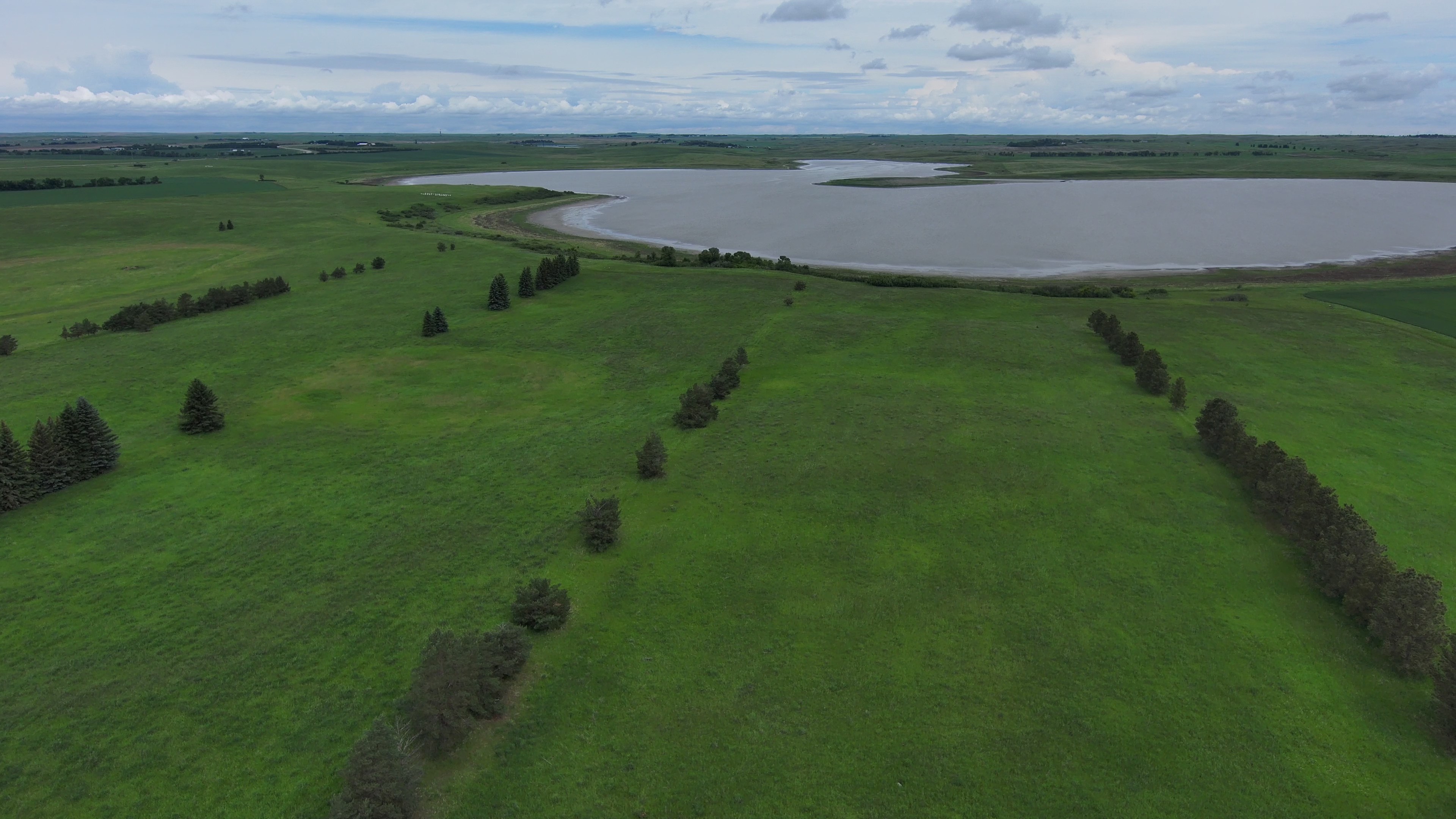
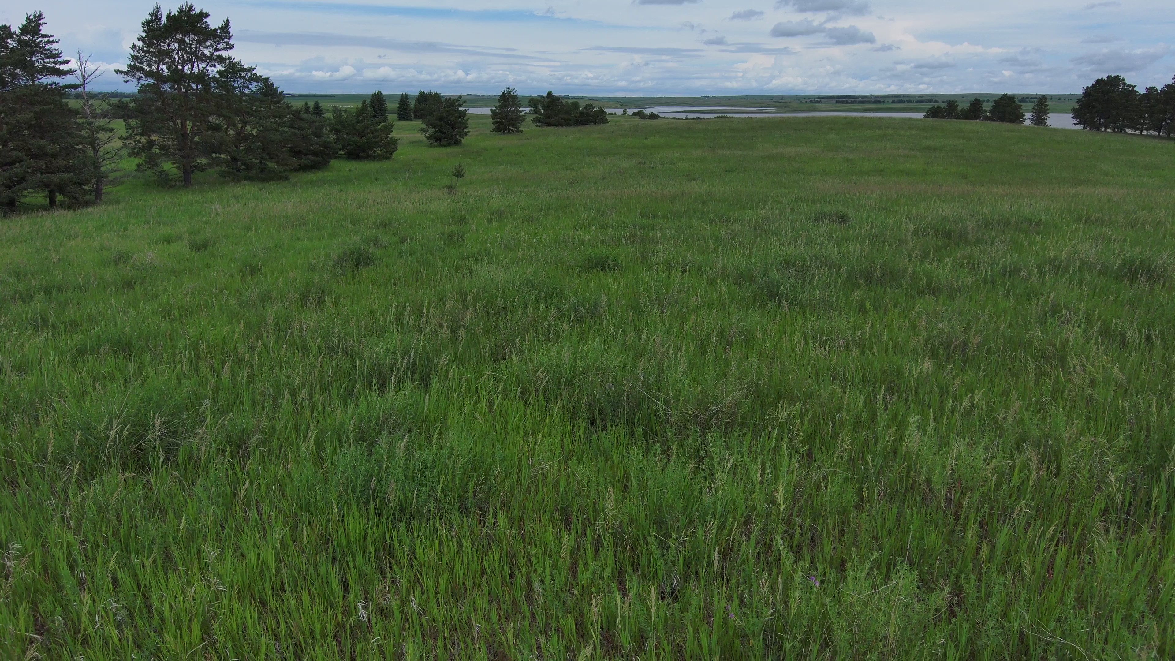
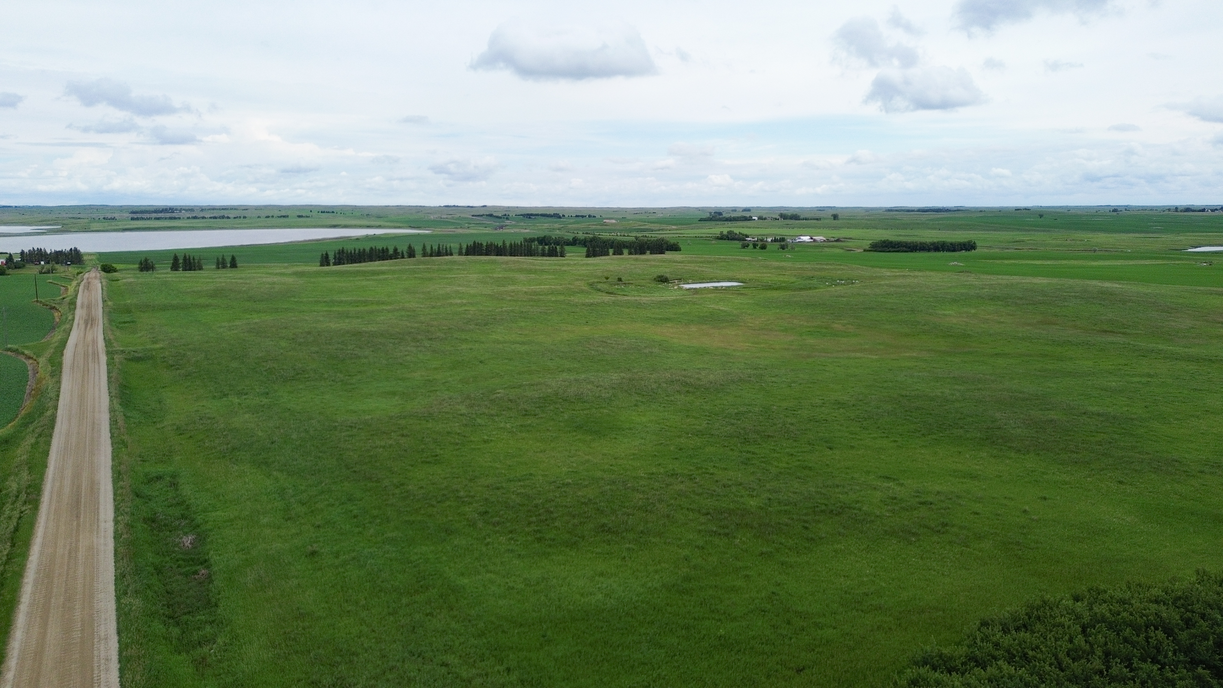
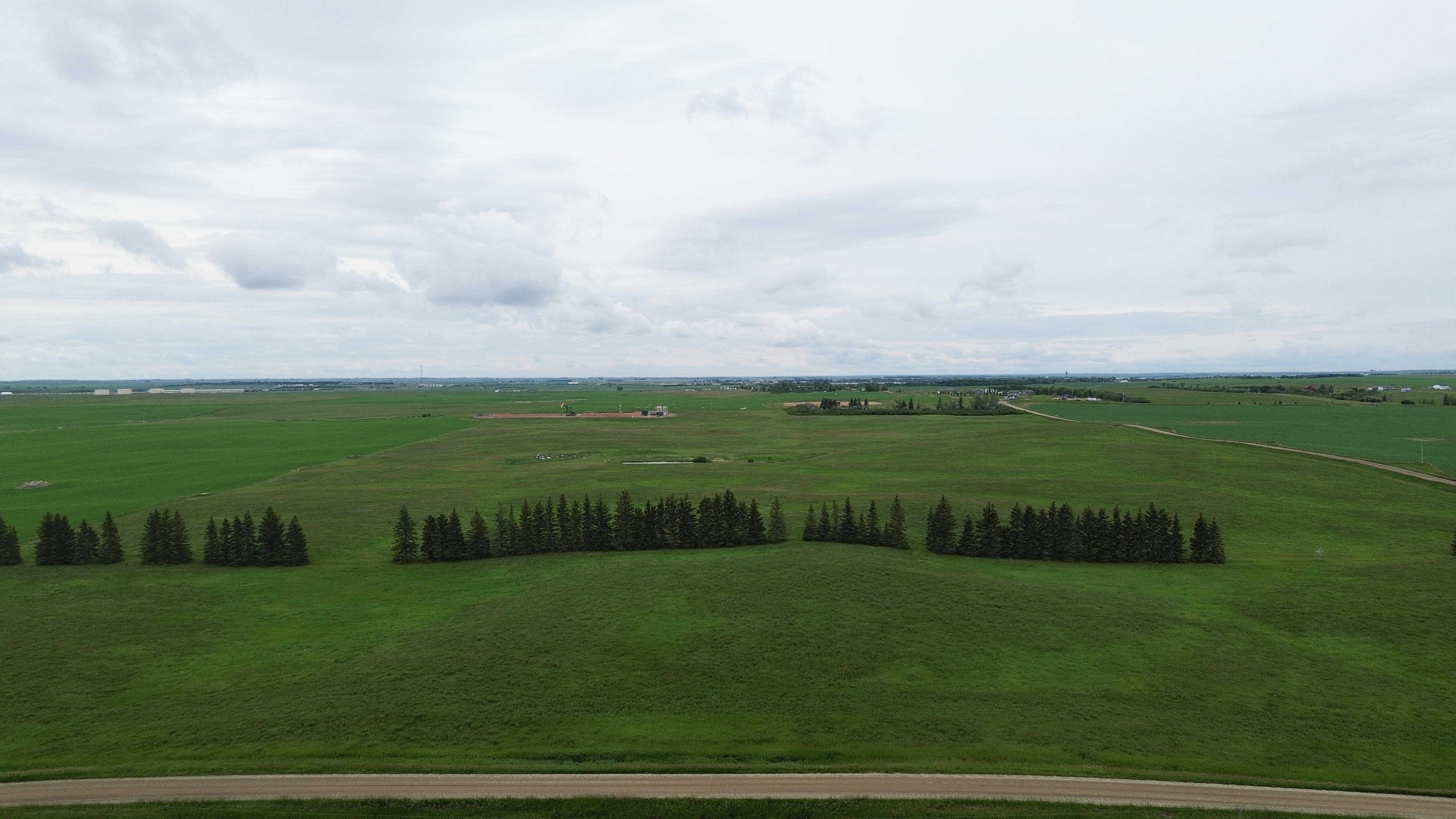
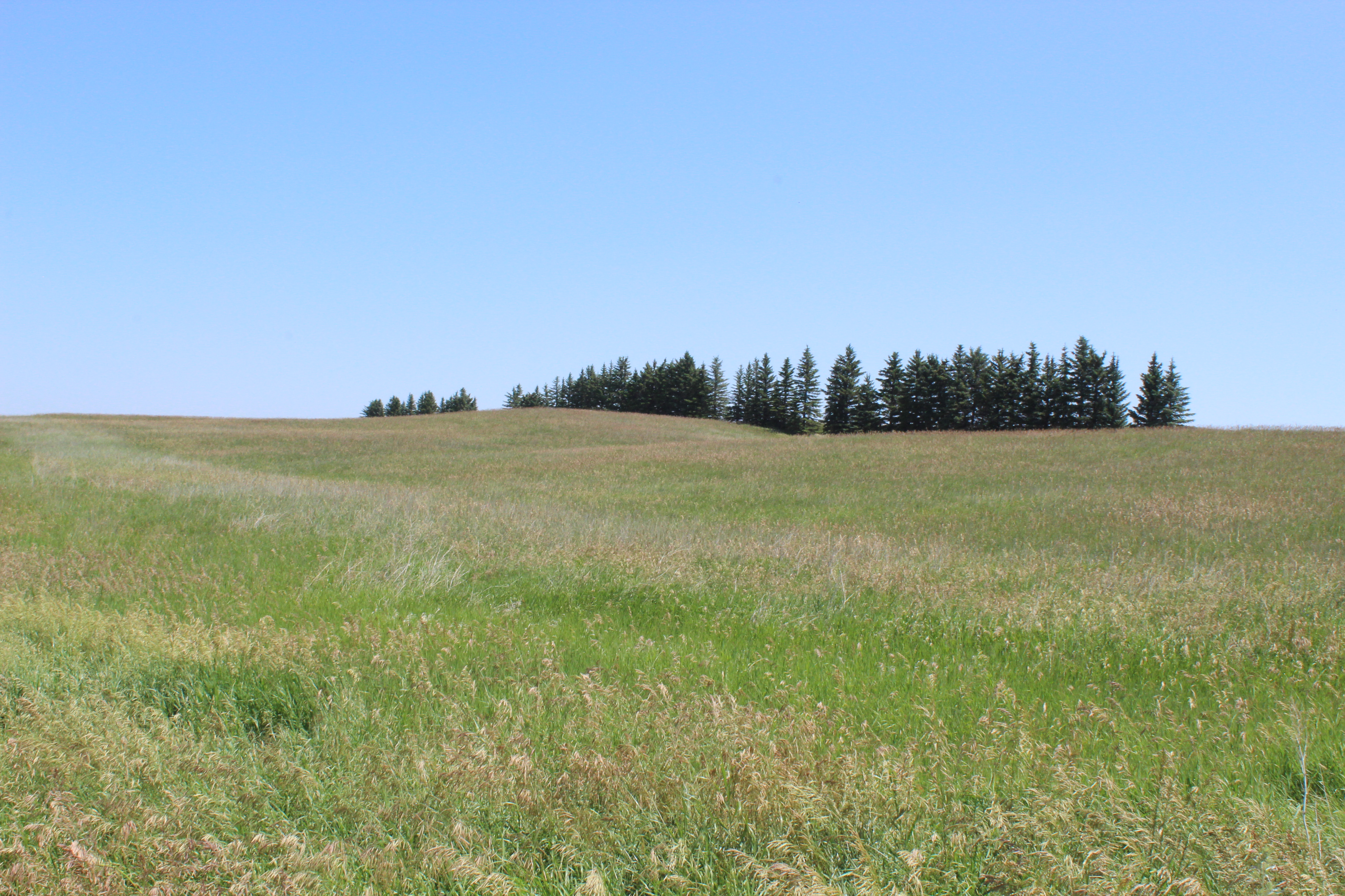
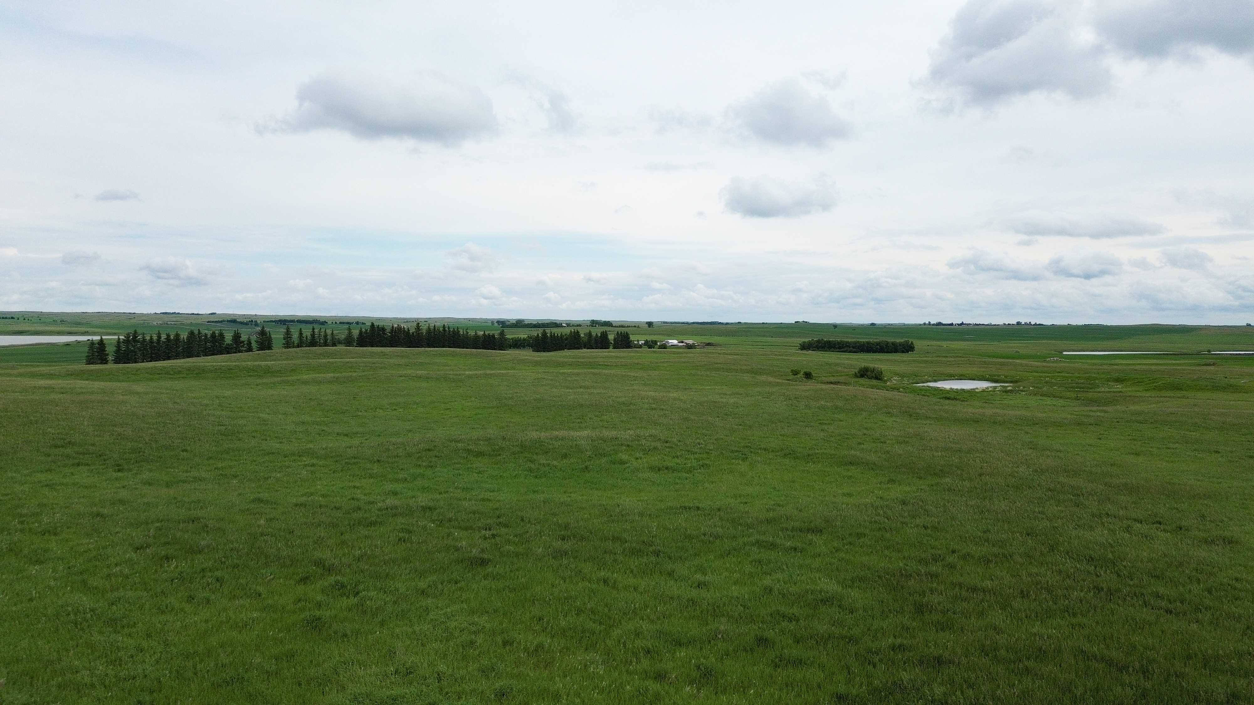
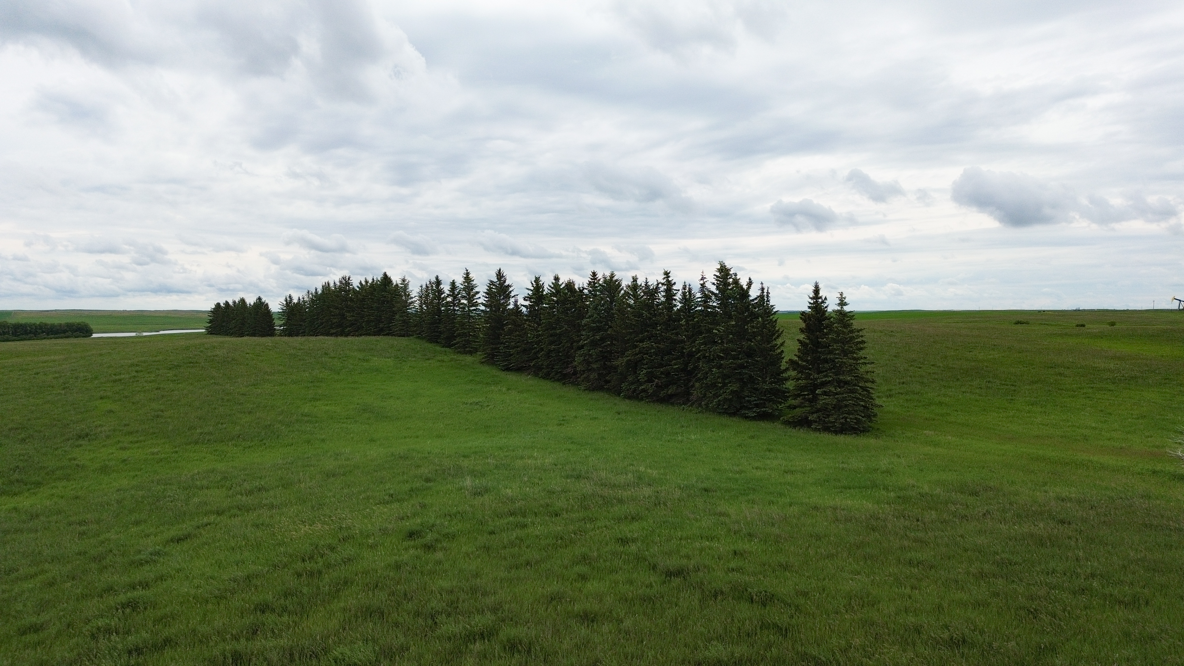
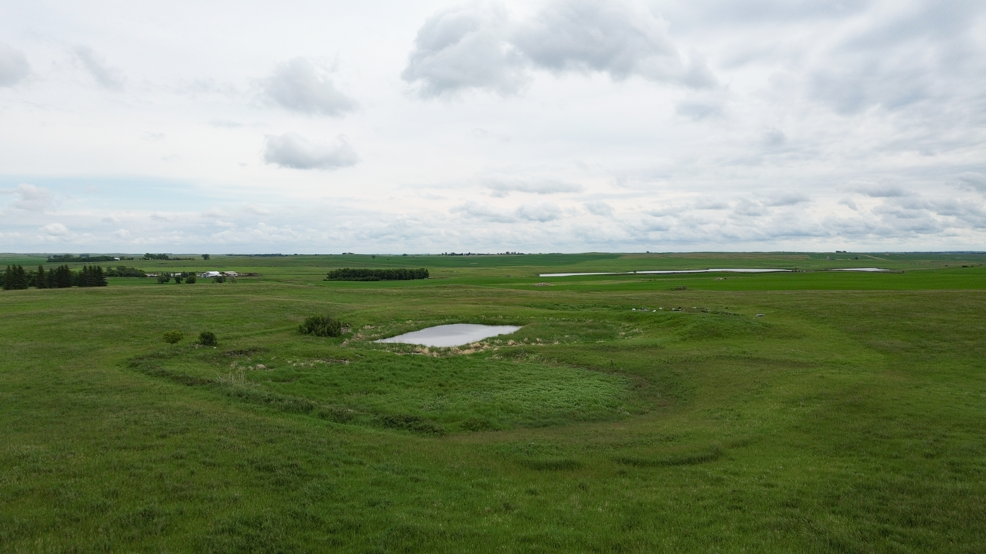
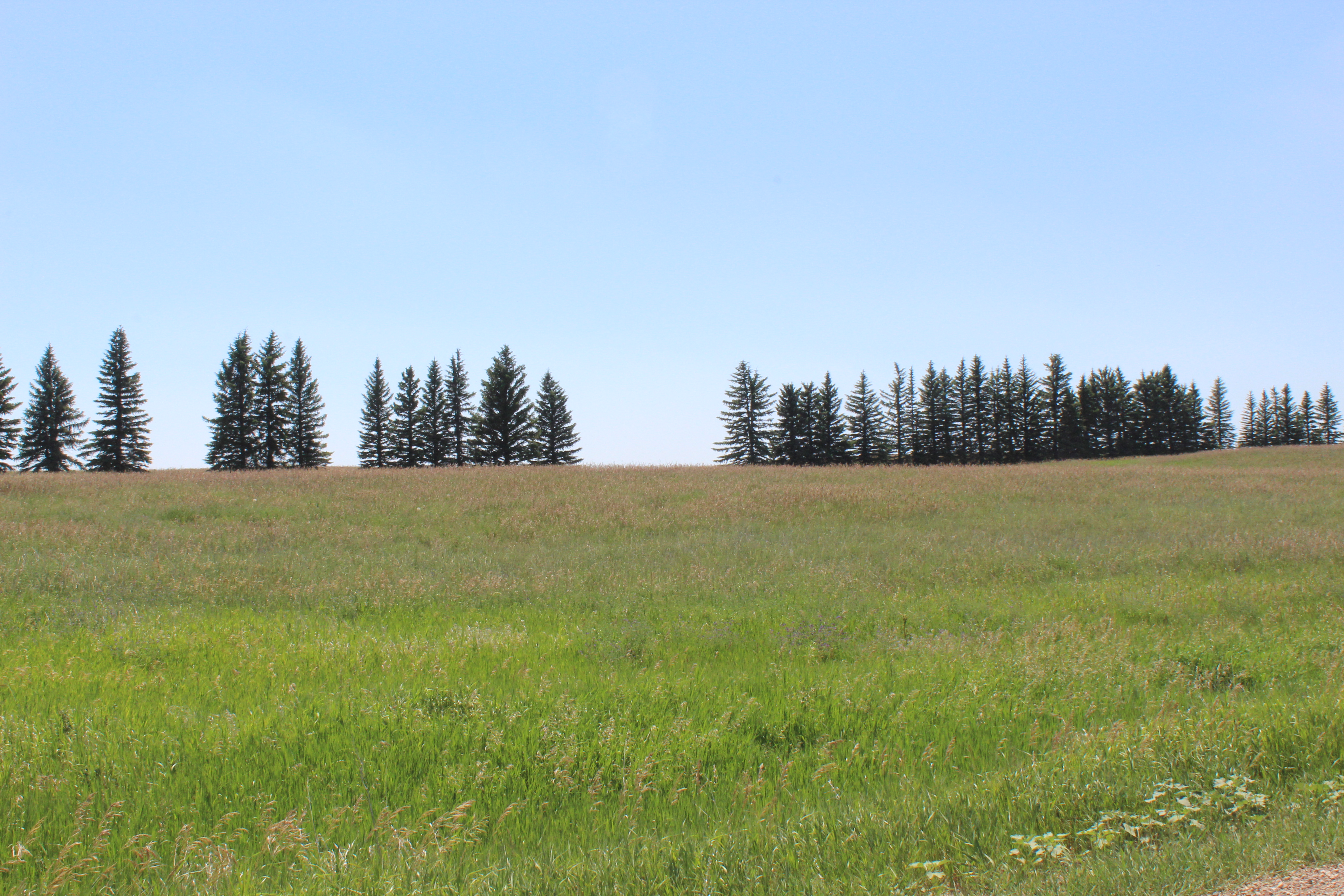
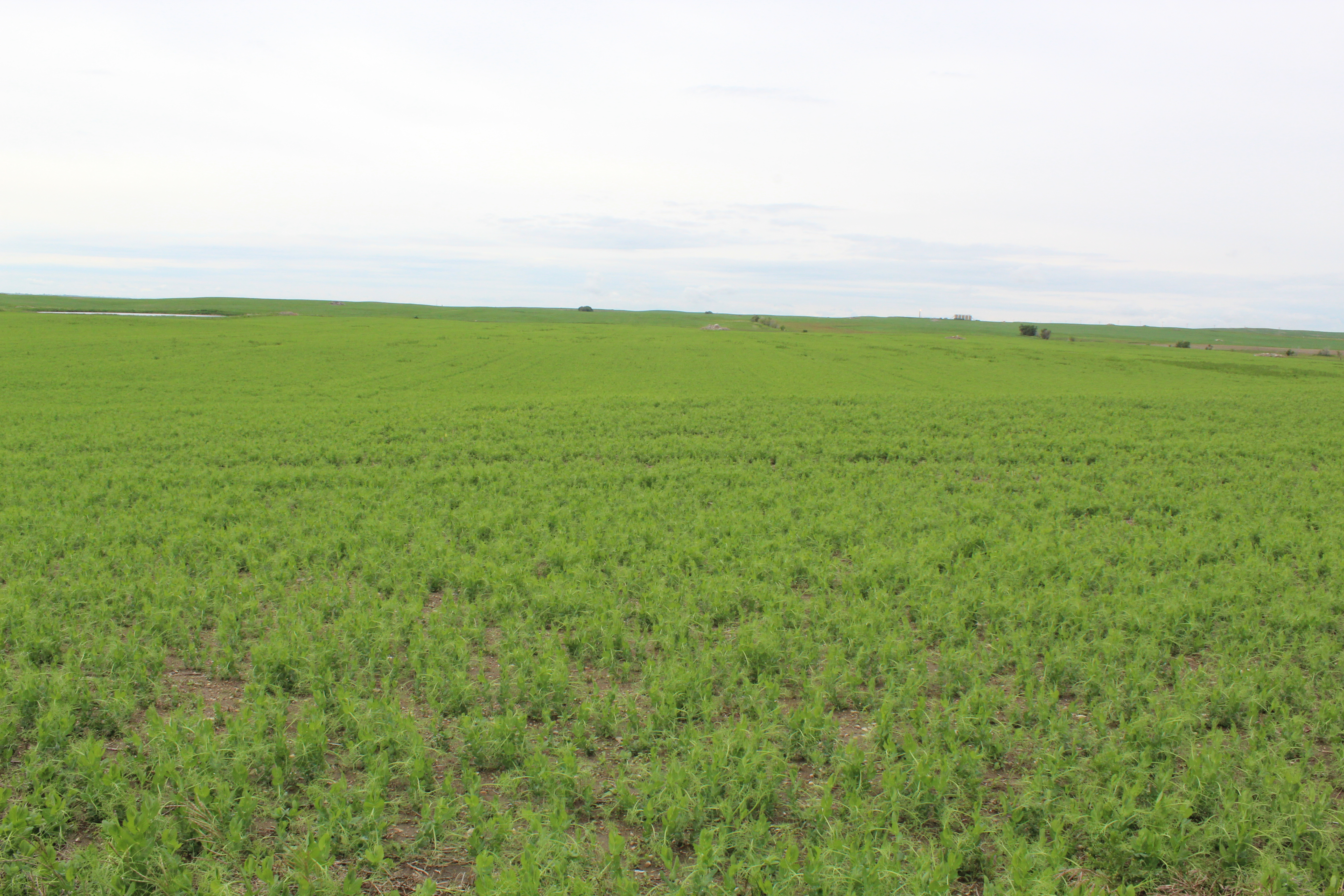
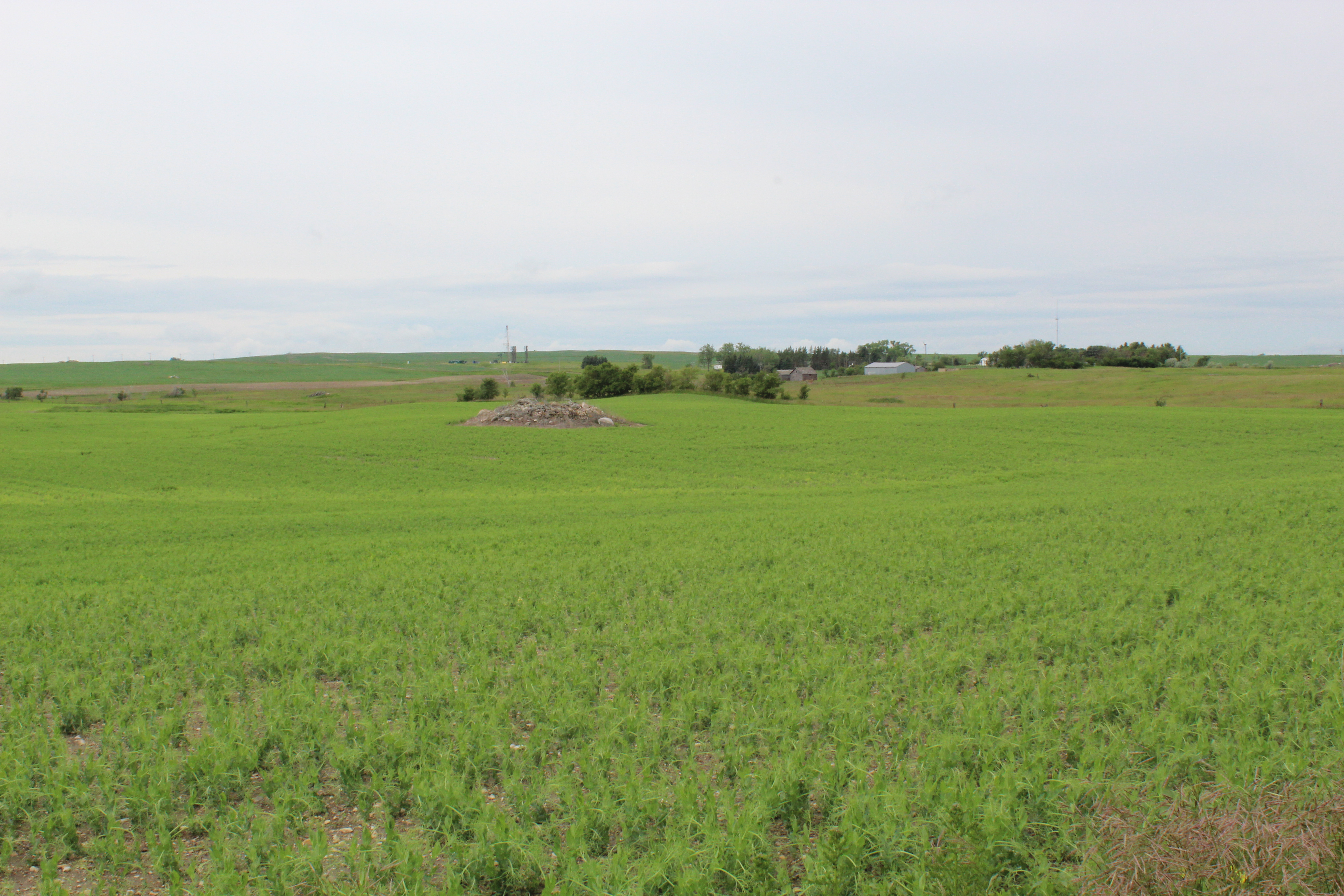
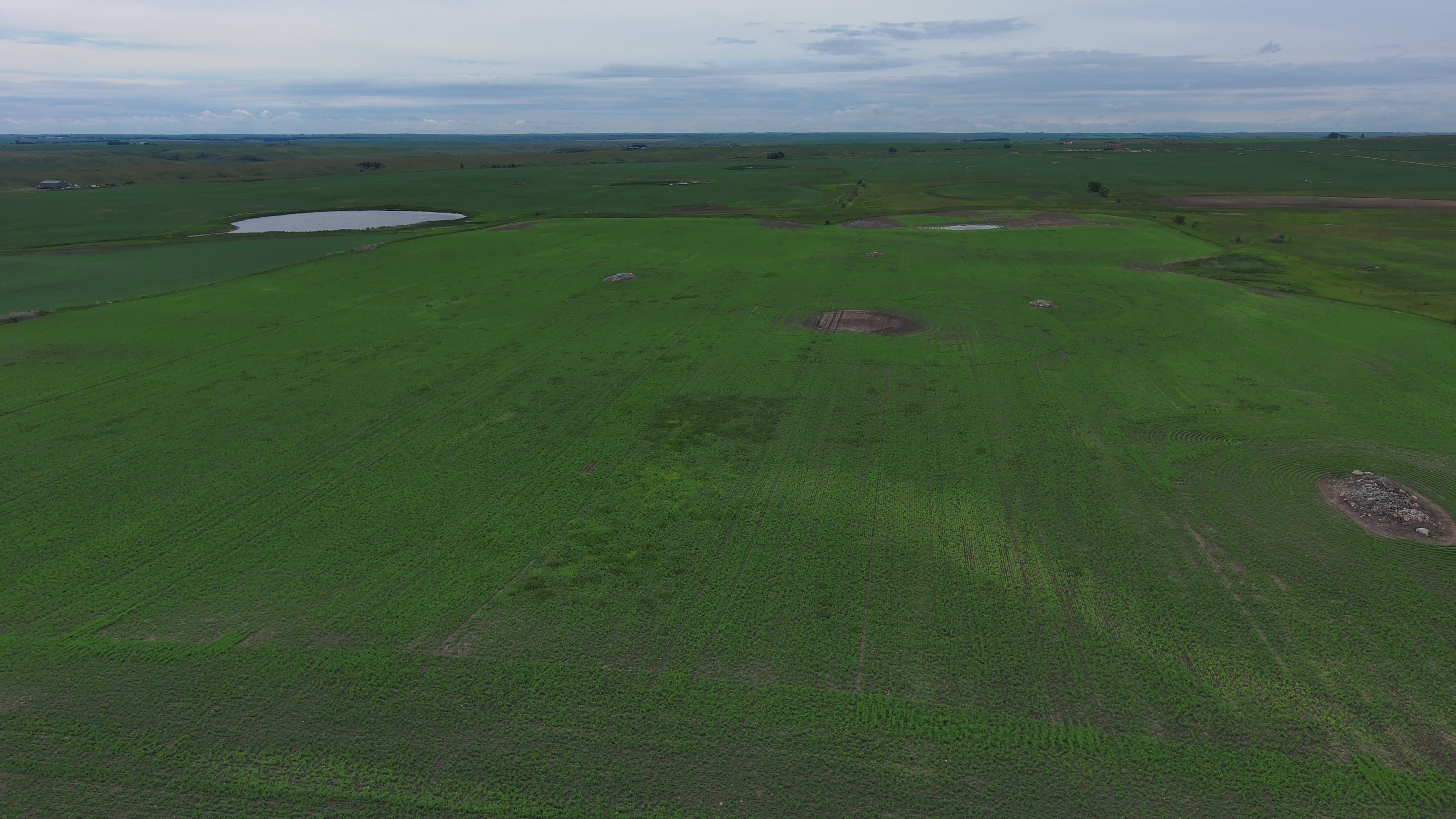
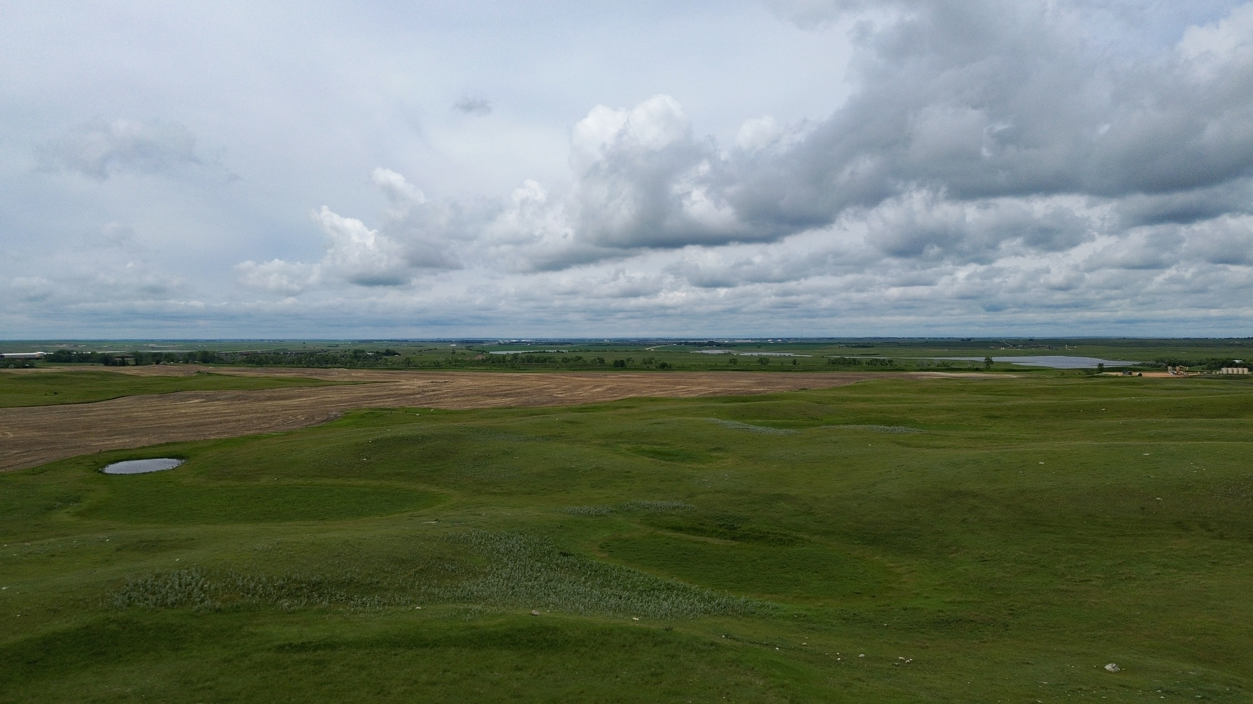
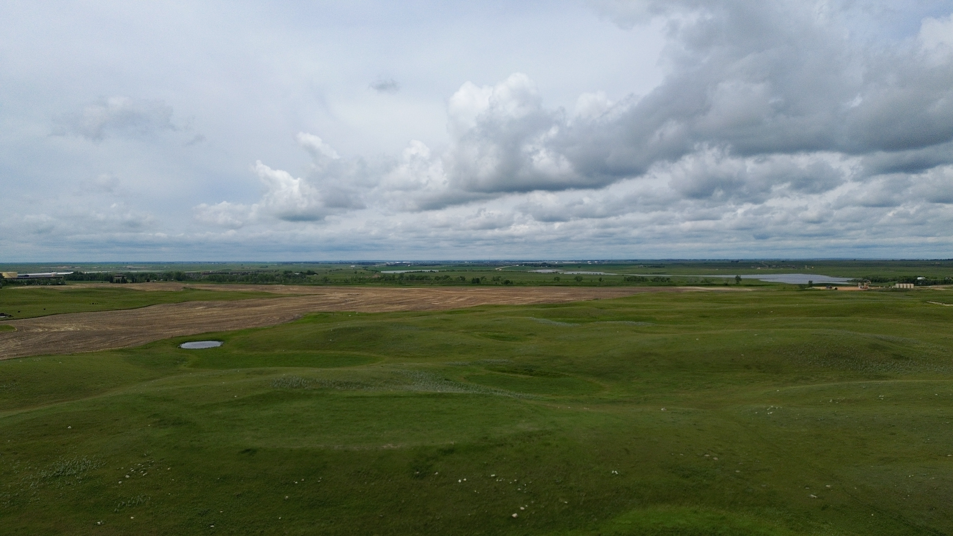
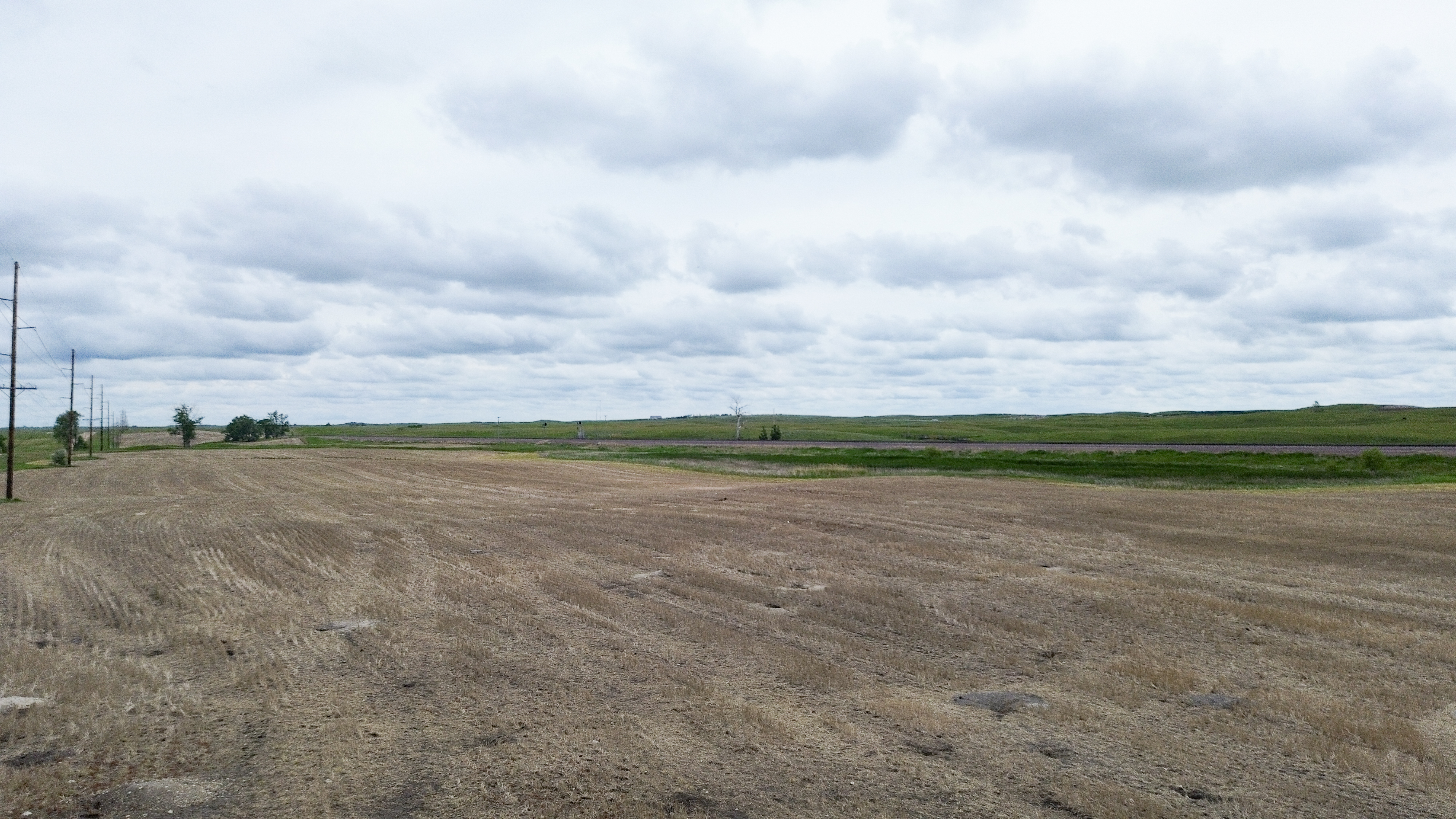
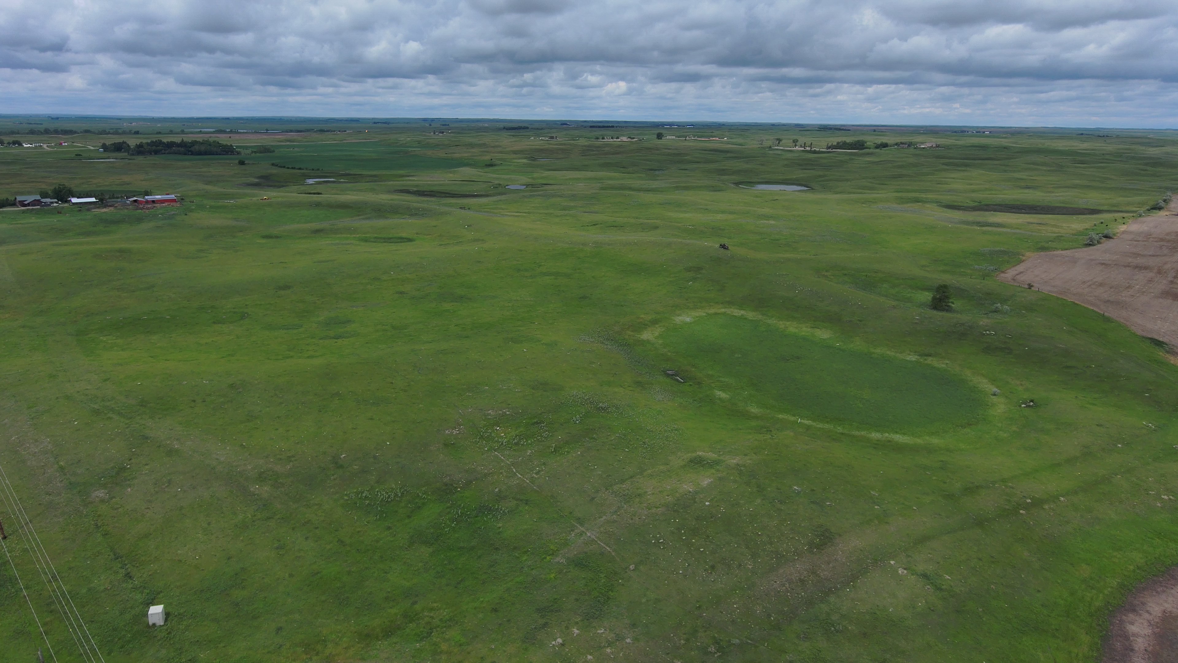
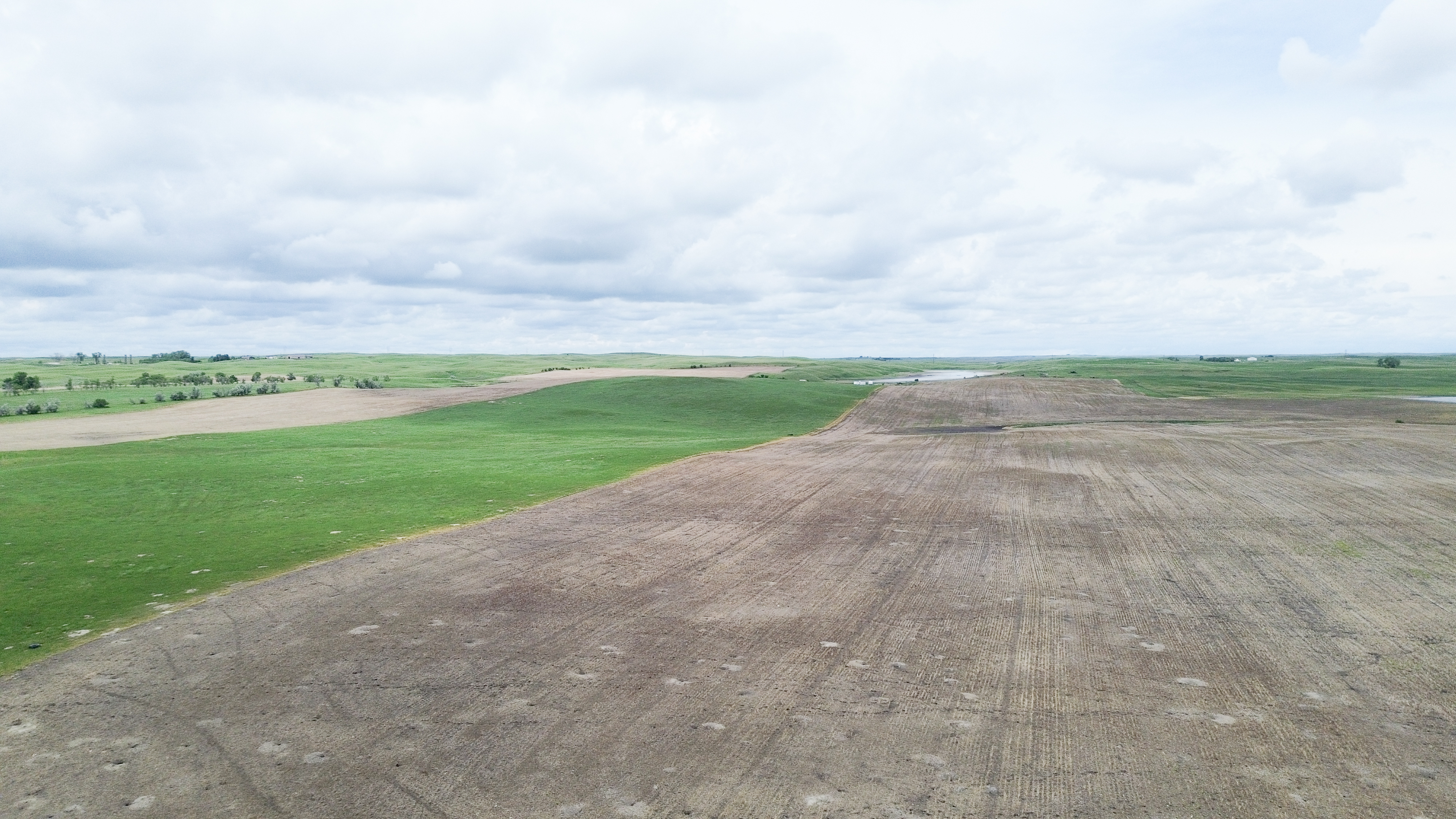
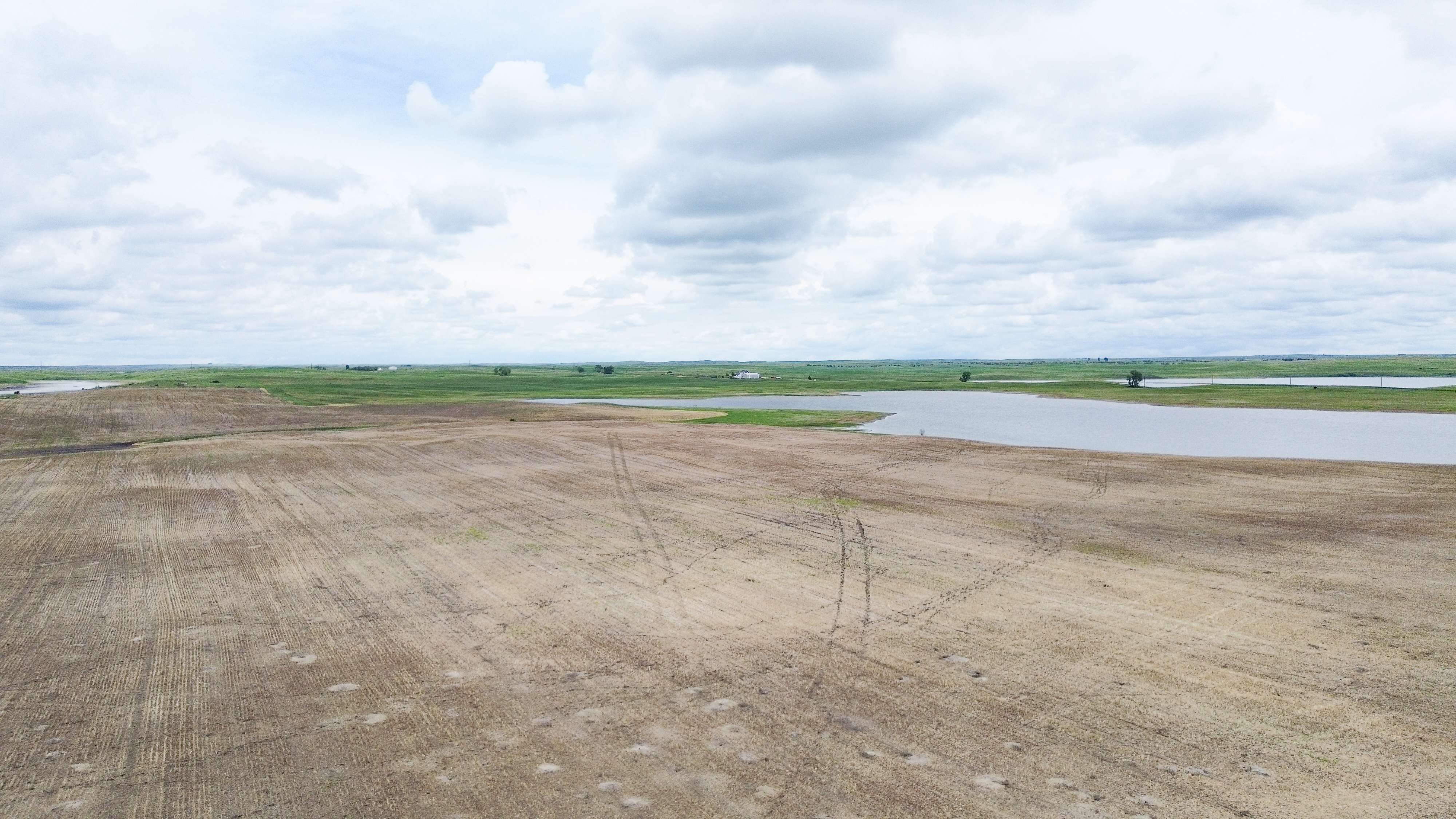
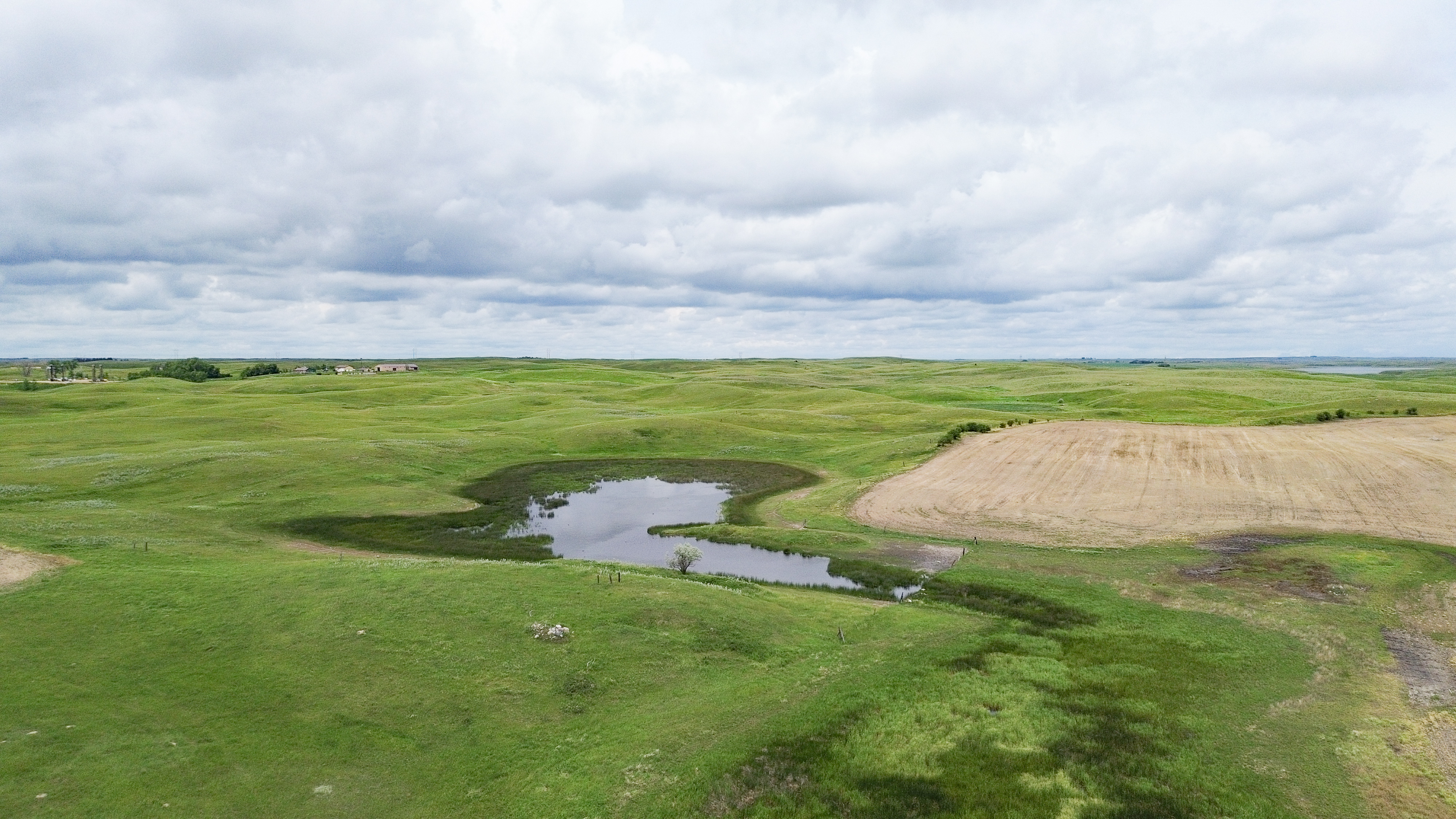
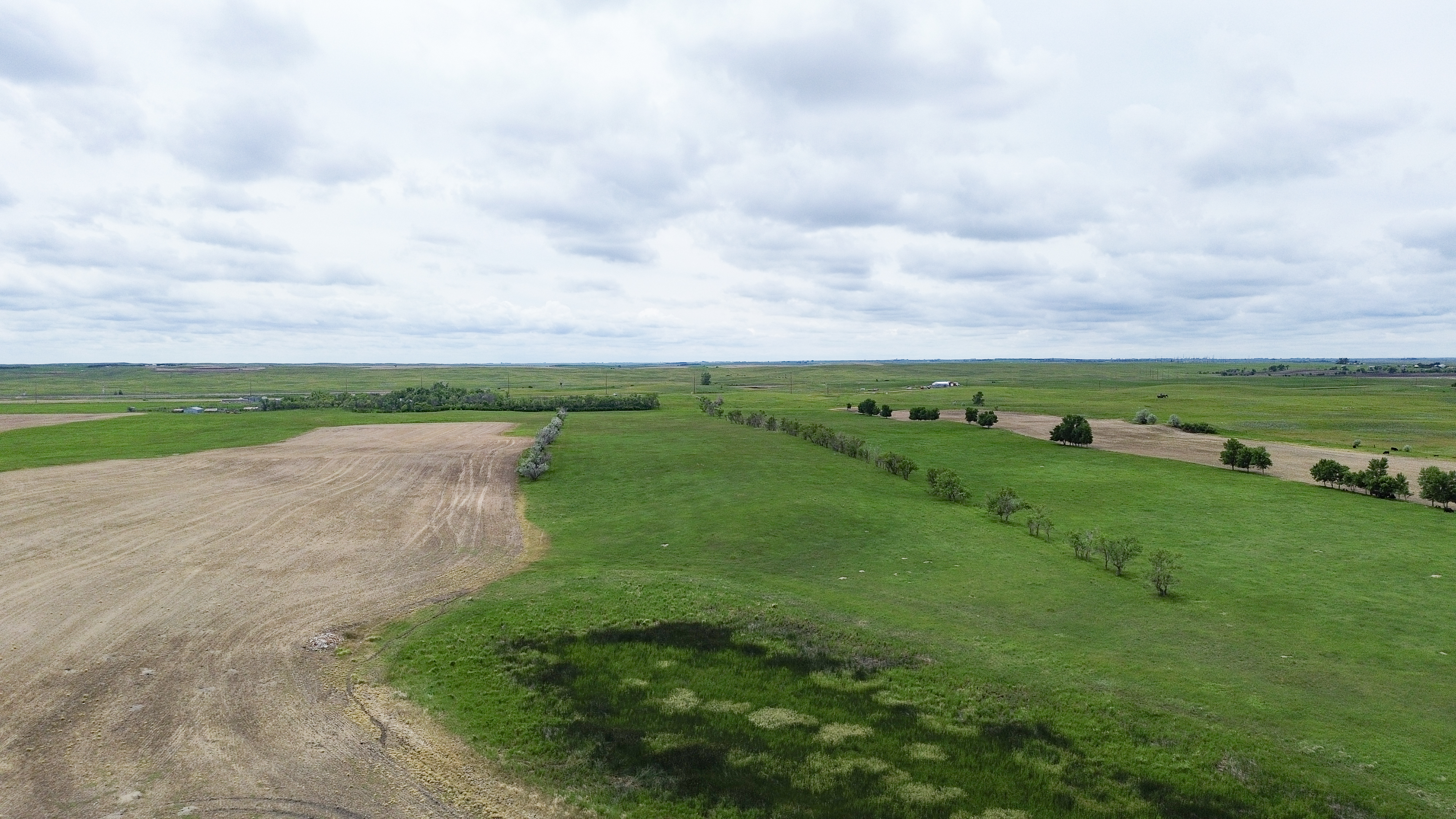
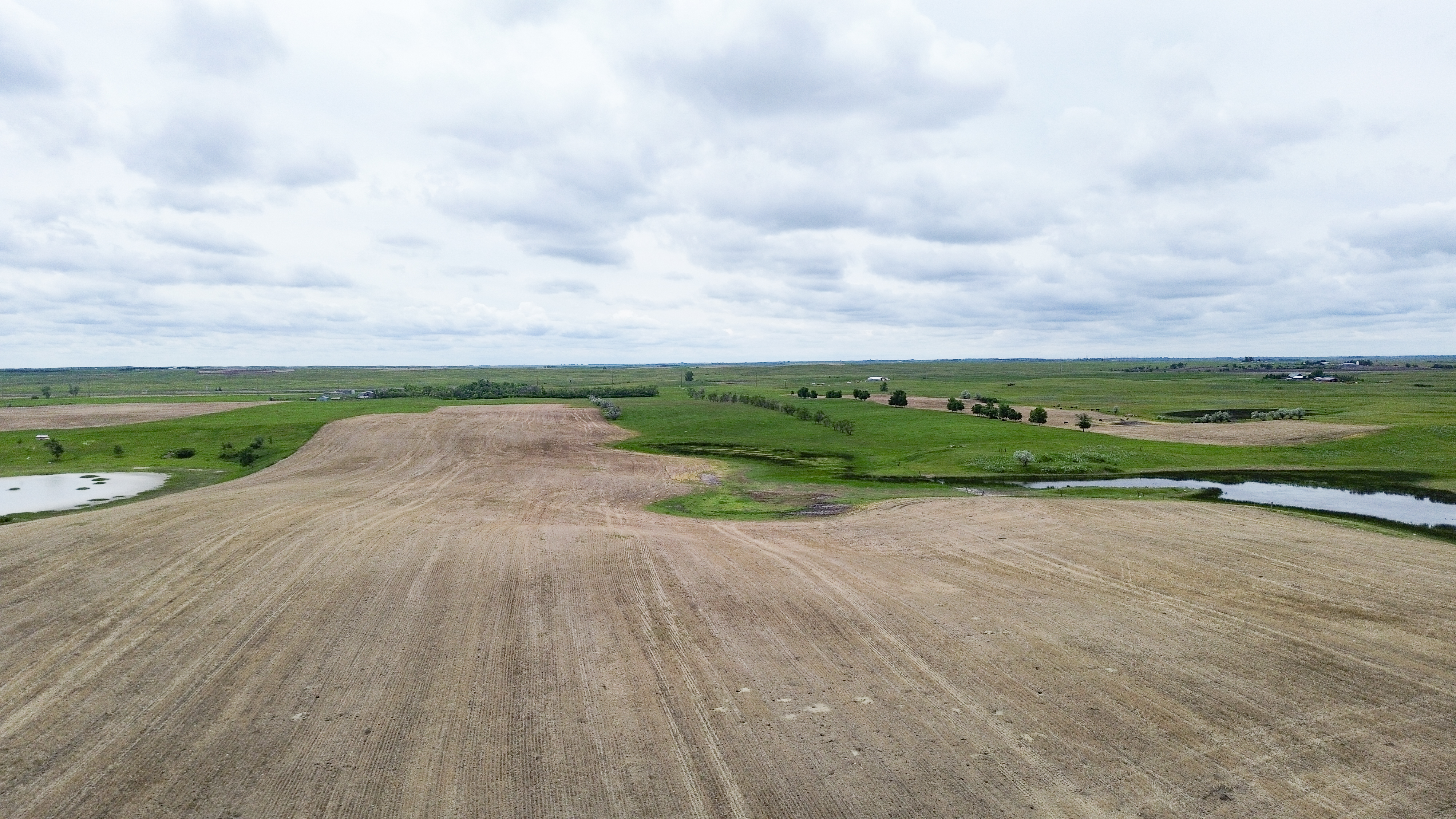
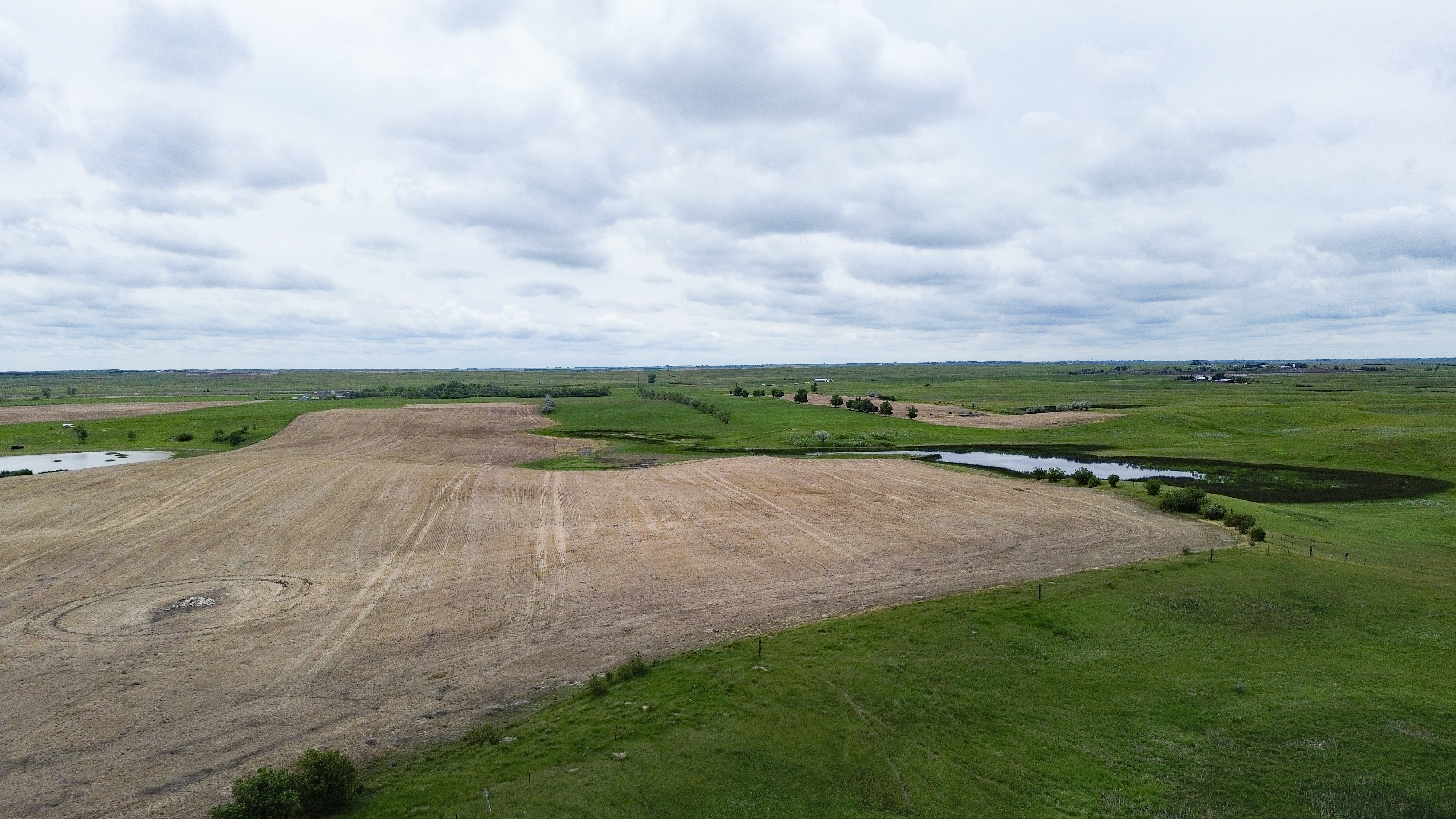
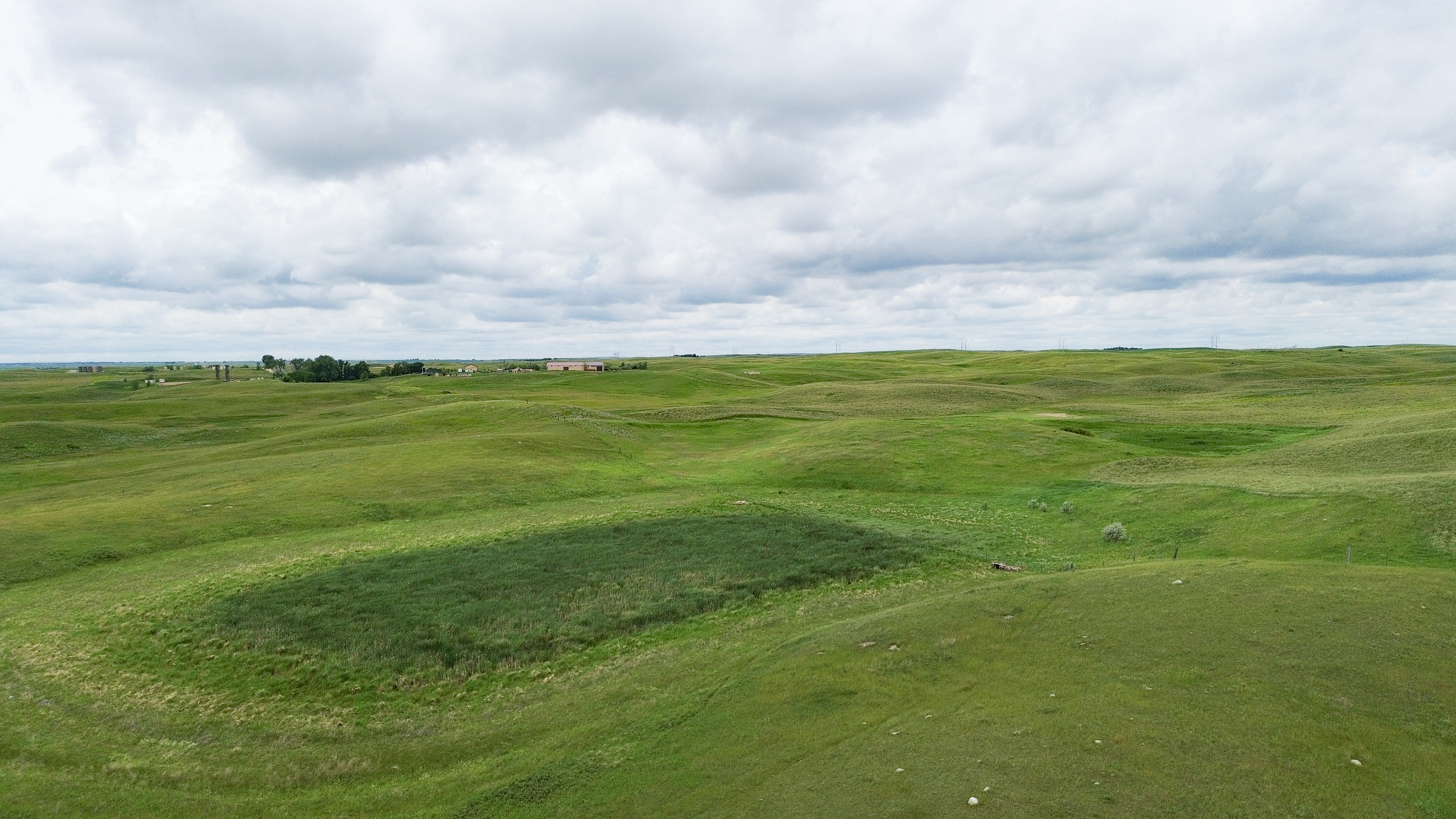
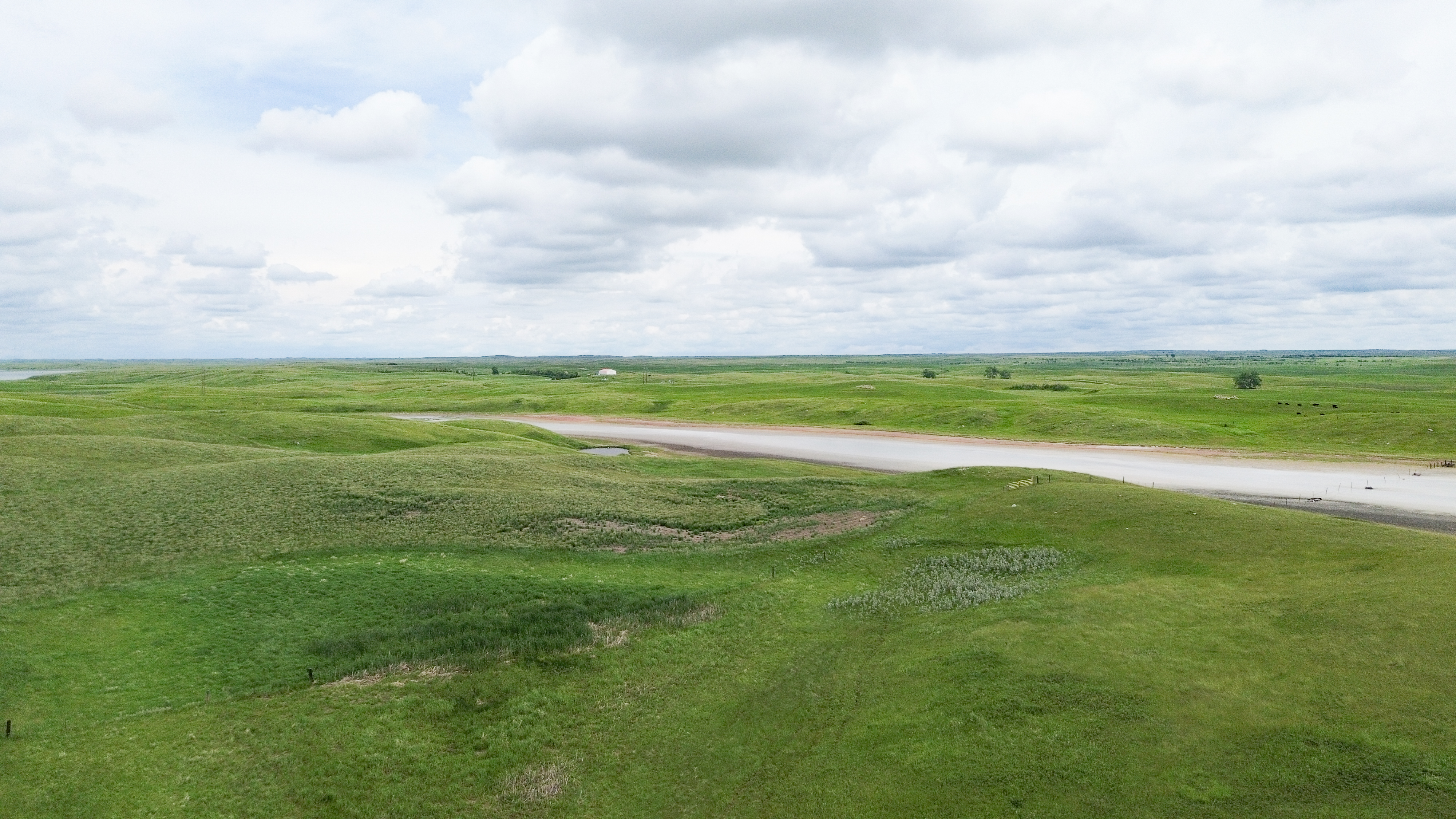
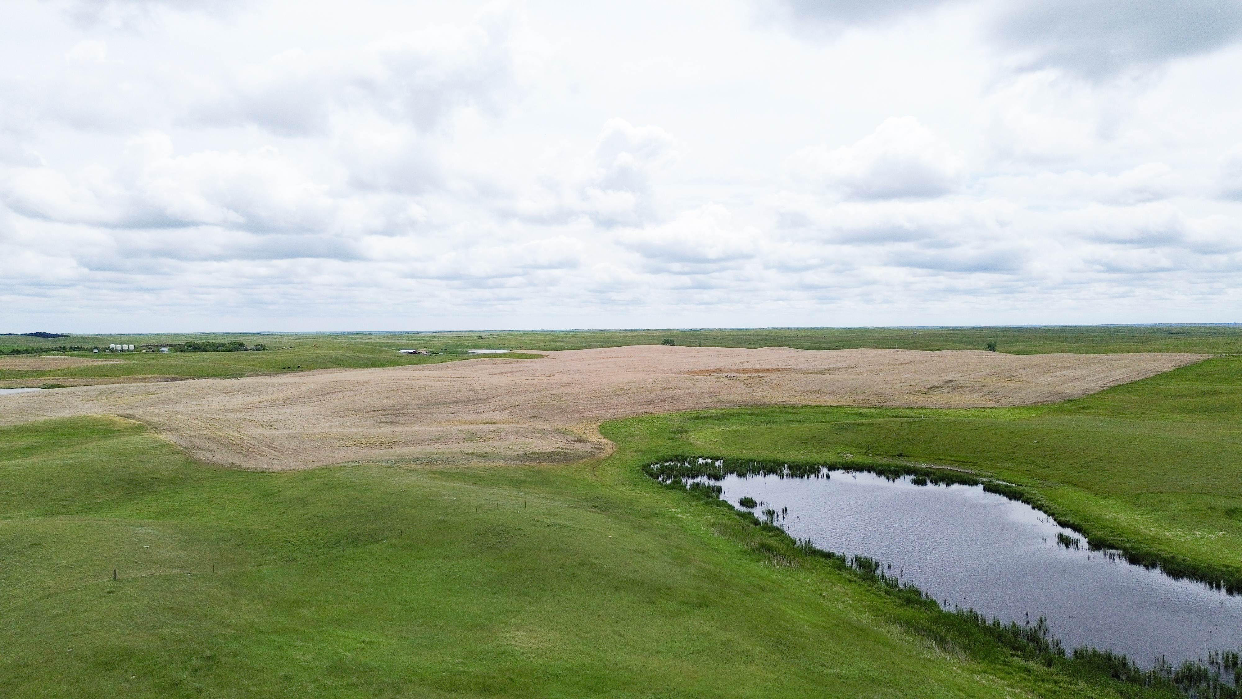
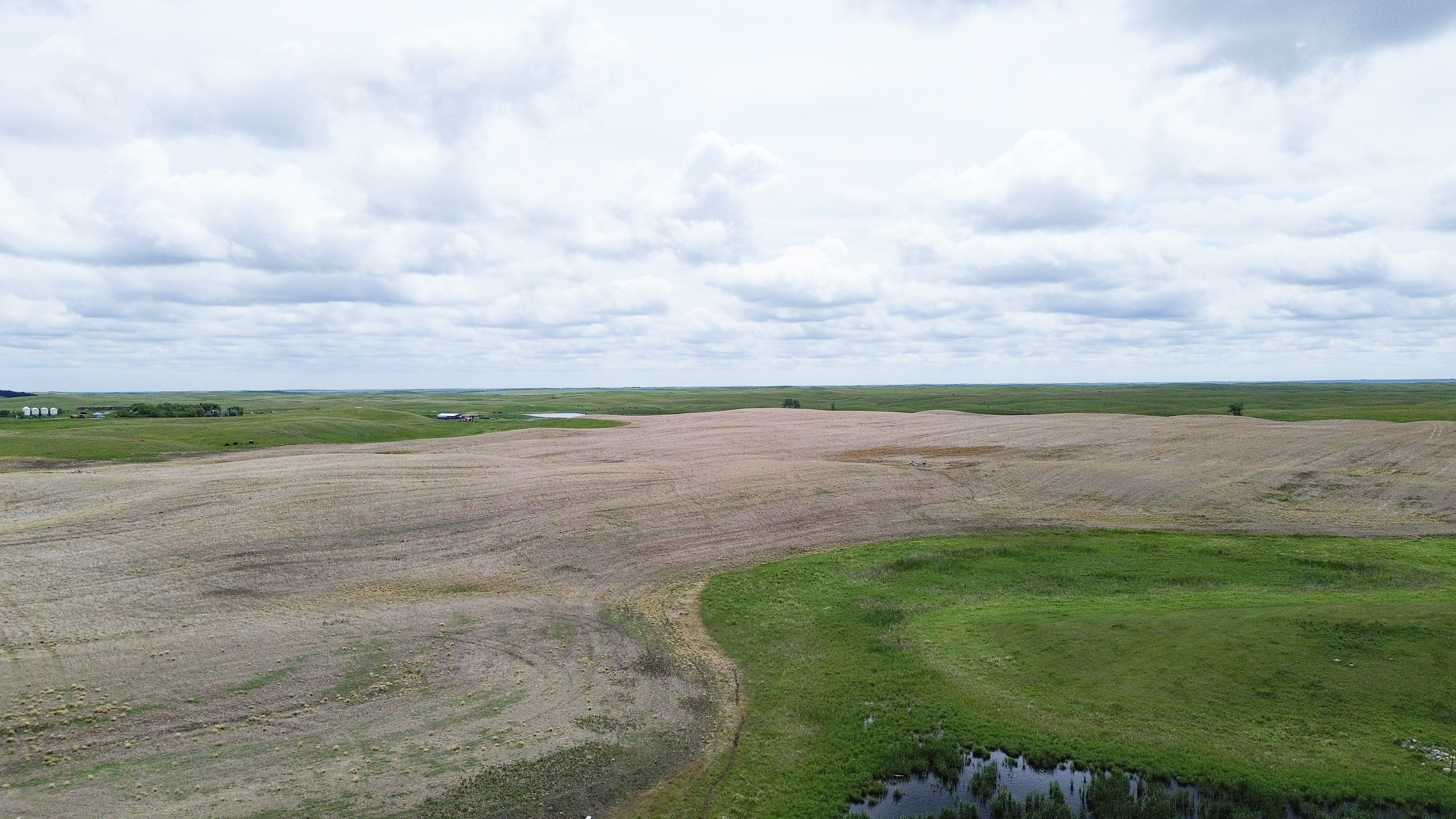
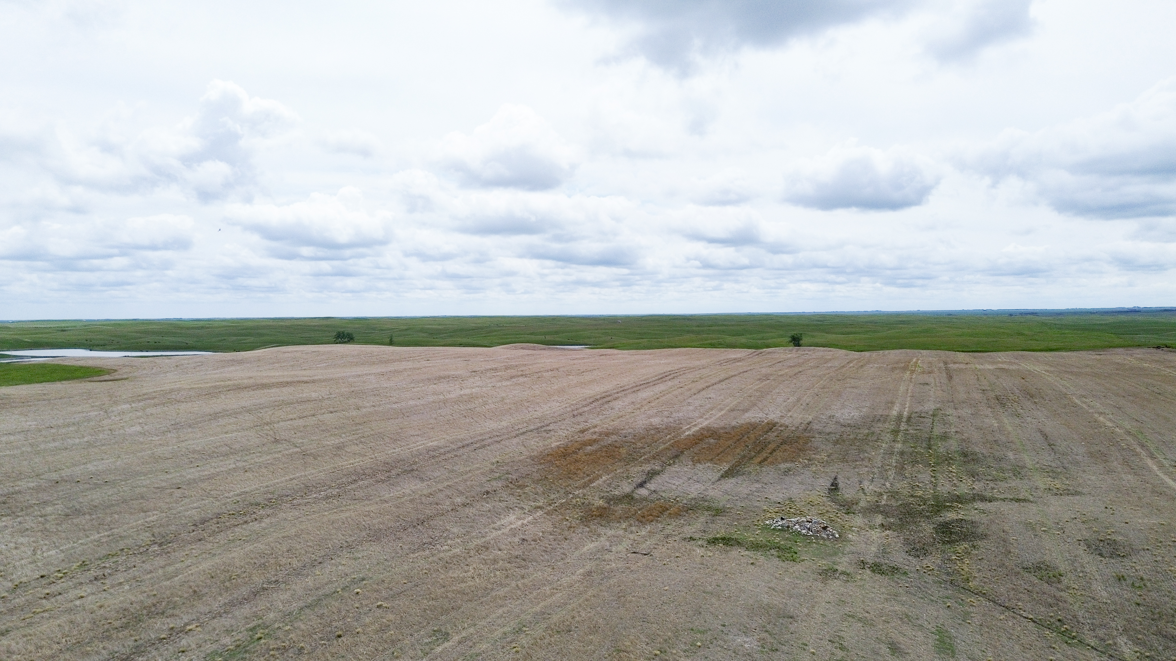
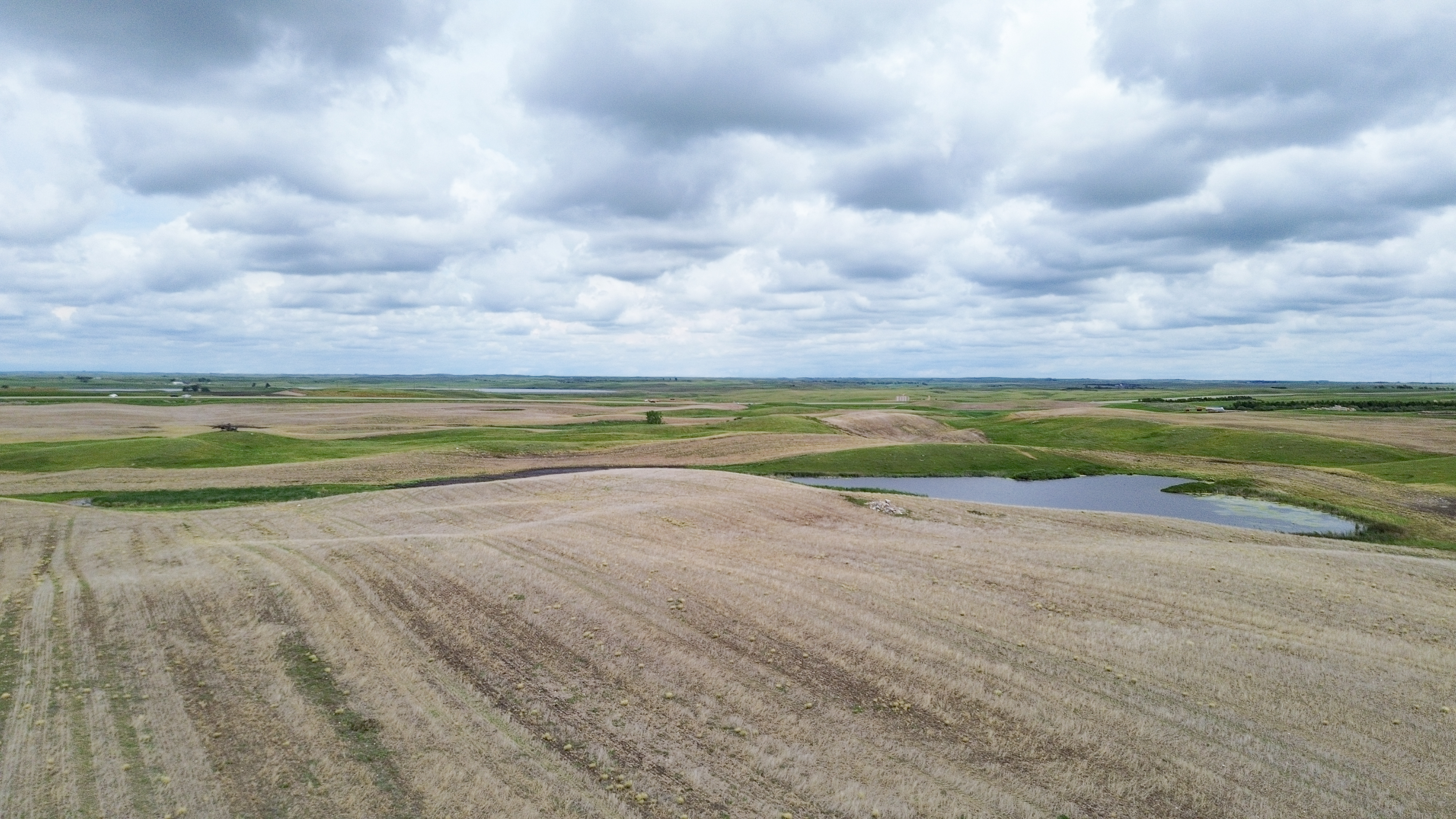
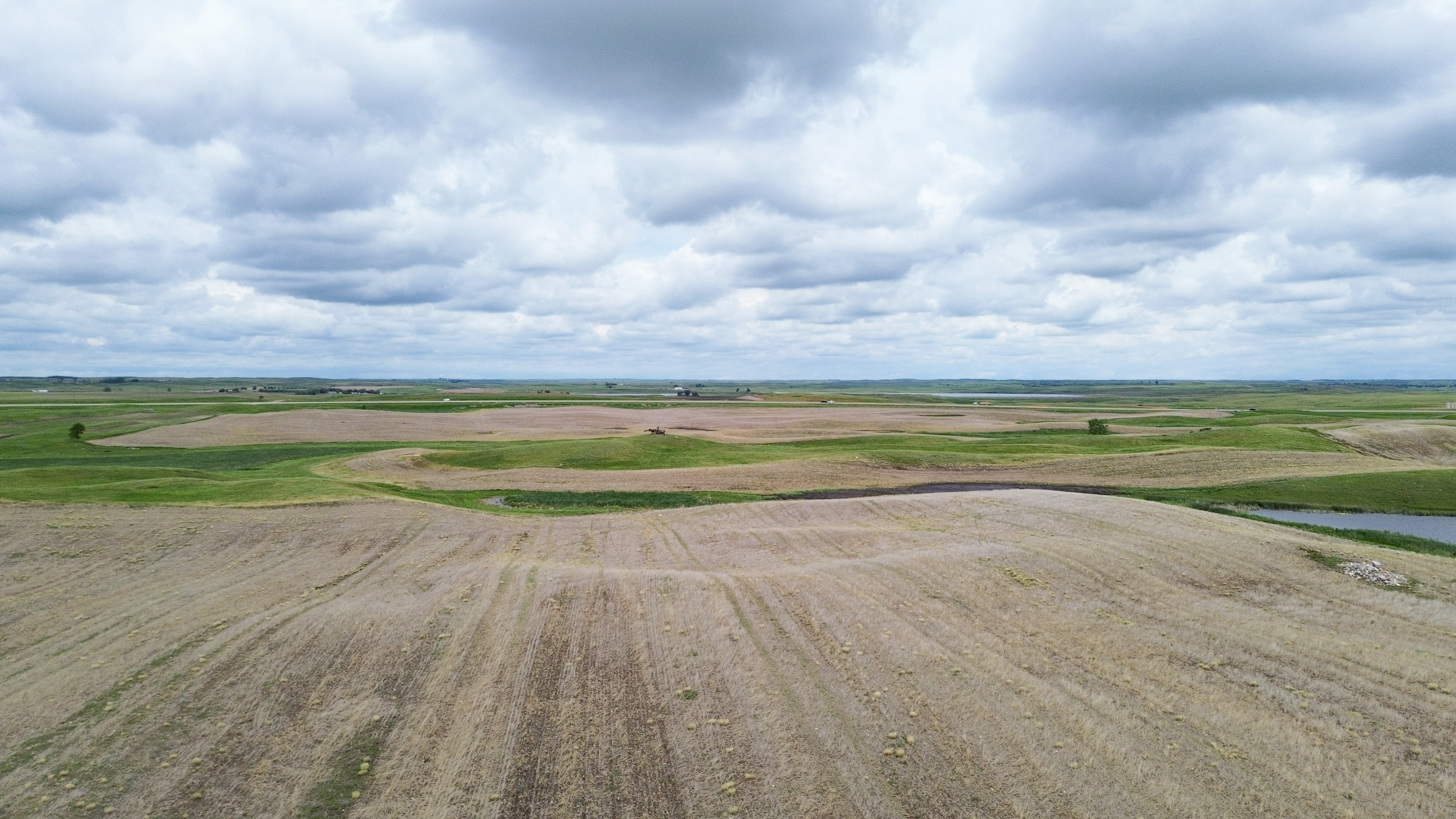
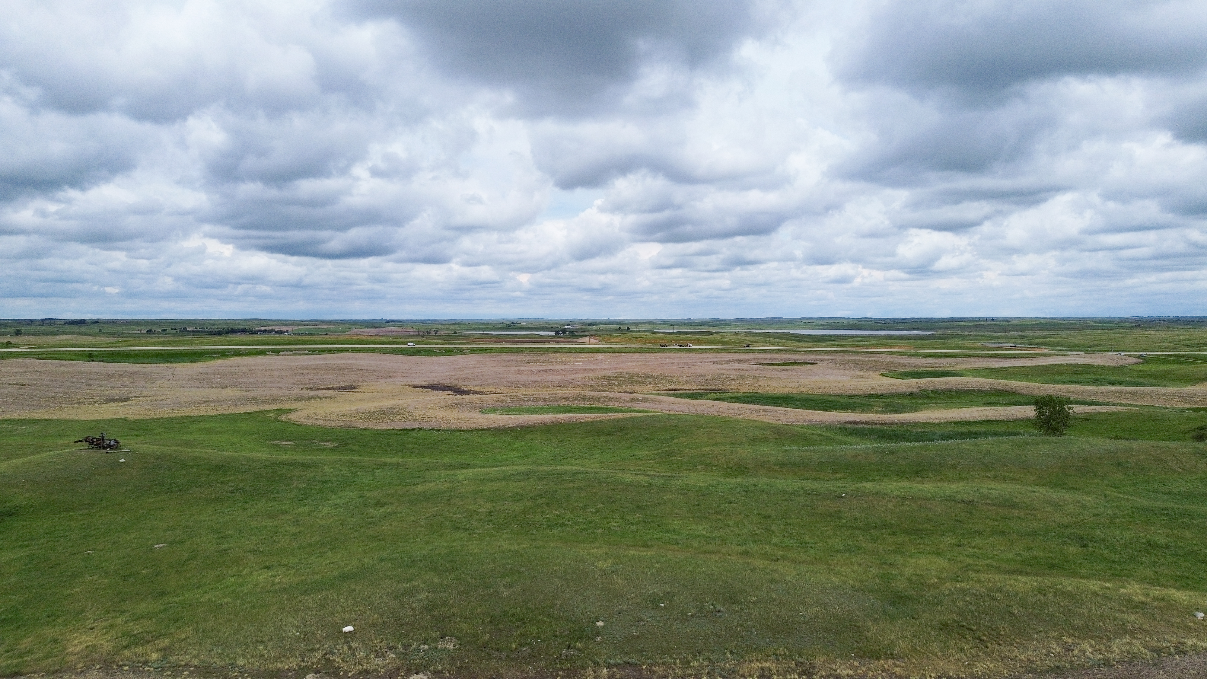
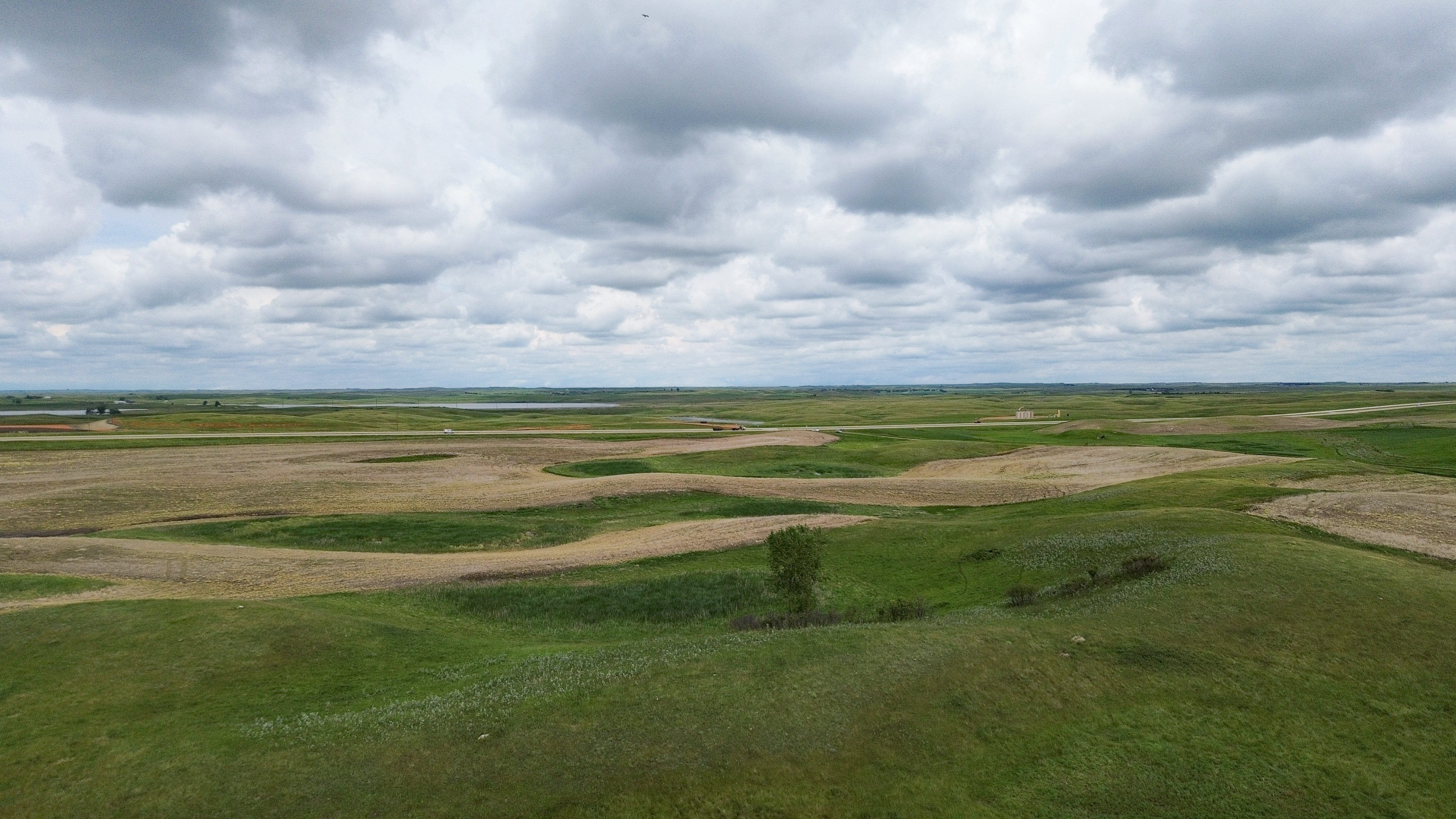
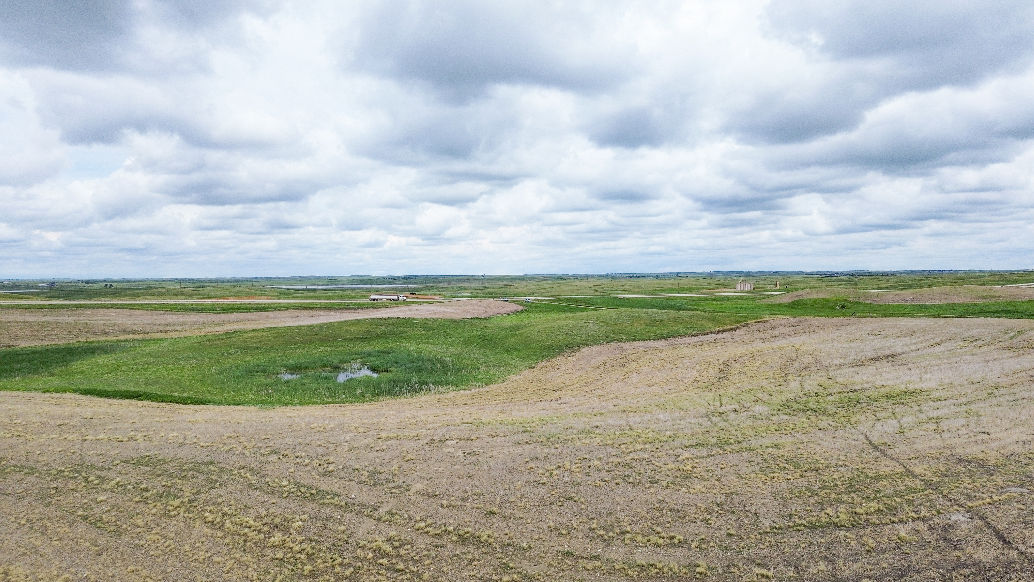
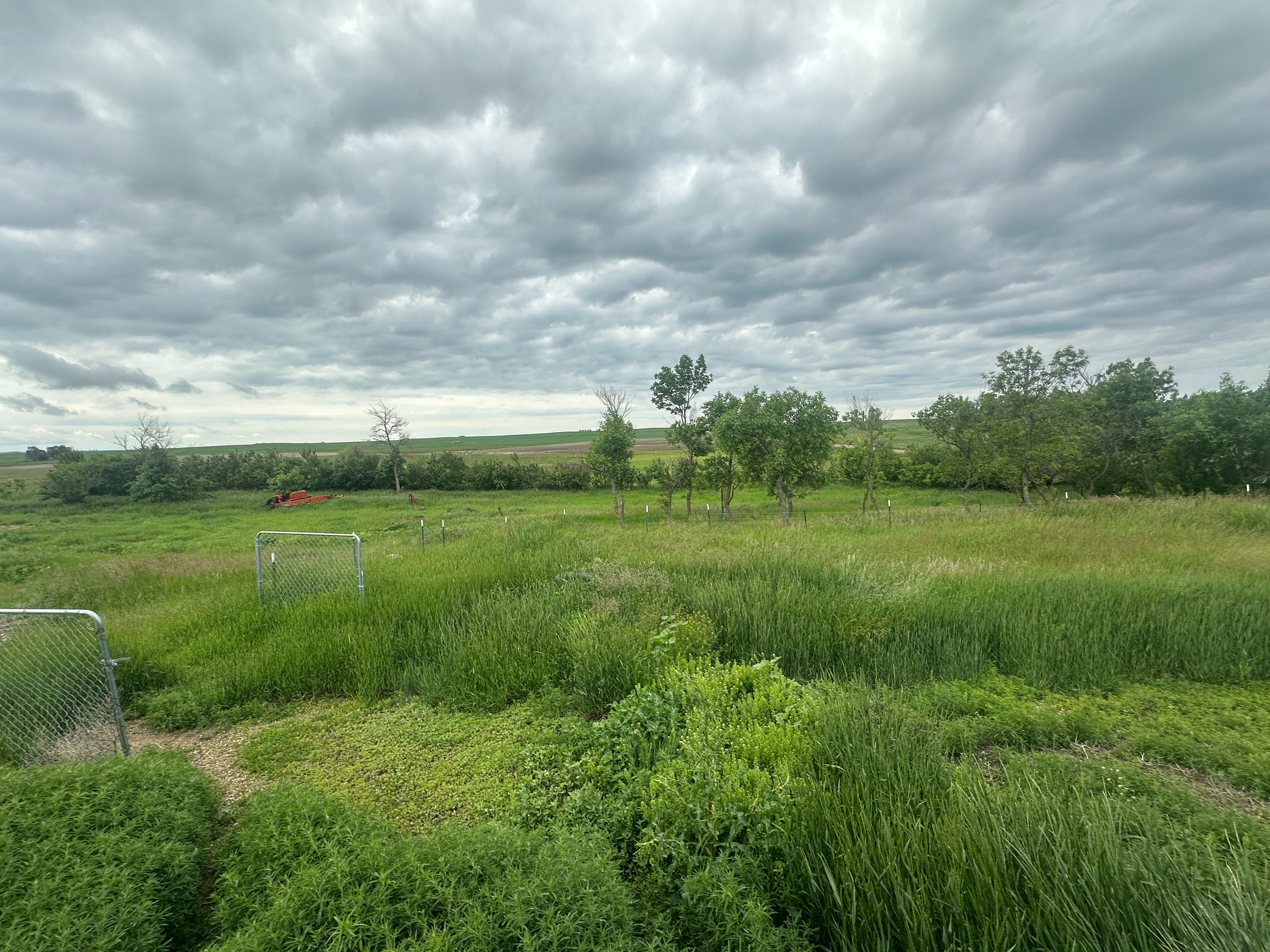
This expansive land offering consists of 16 parcels located within a 15-mile radius of Stanley, North Dakota, along with two city lots in Appam, ND. The properties feature a productive mix of cropland with quality soils including Williams and Zahl loams that are well-suited for a variety of agricultural operations. Several parcels offer an excellent combination of productive cropland along with native grass pastures, providing versatility for farming, ranching, or investment purposes. The offering also includes established farmsteads and attractive building sites, perfect for rural living, or future agricultural operation development.
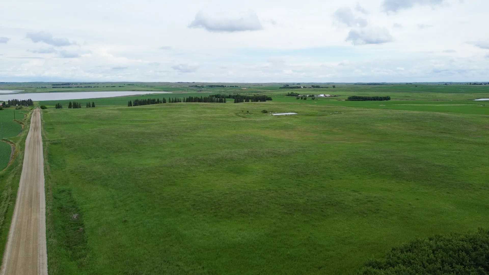
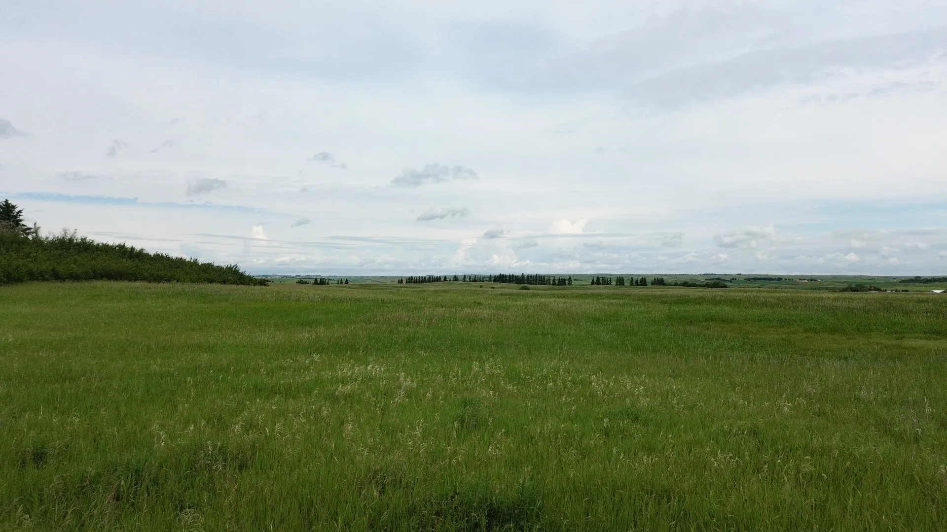
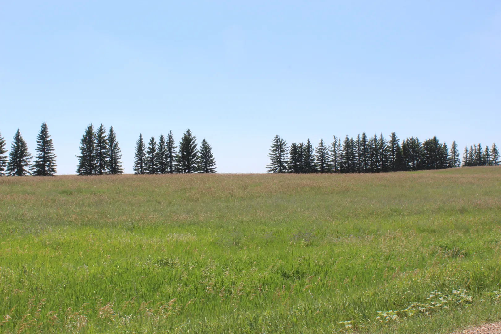
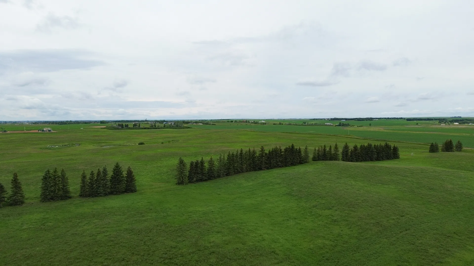
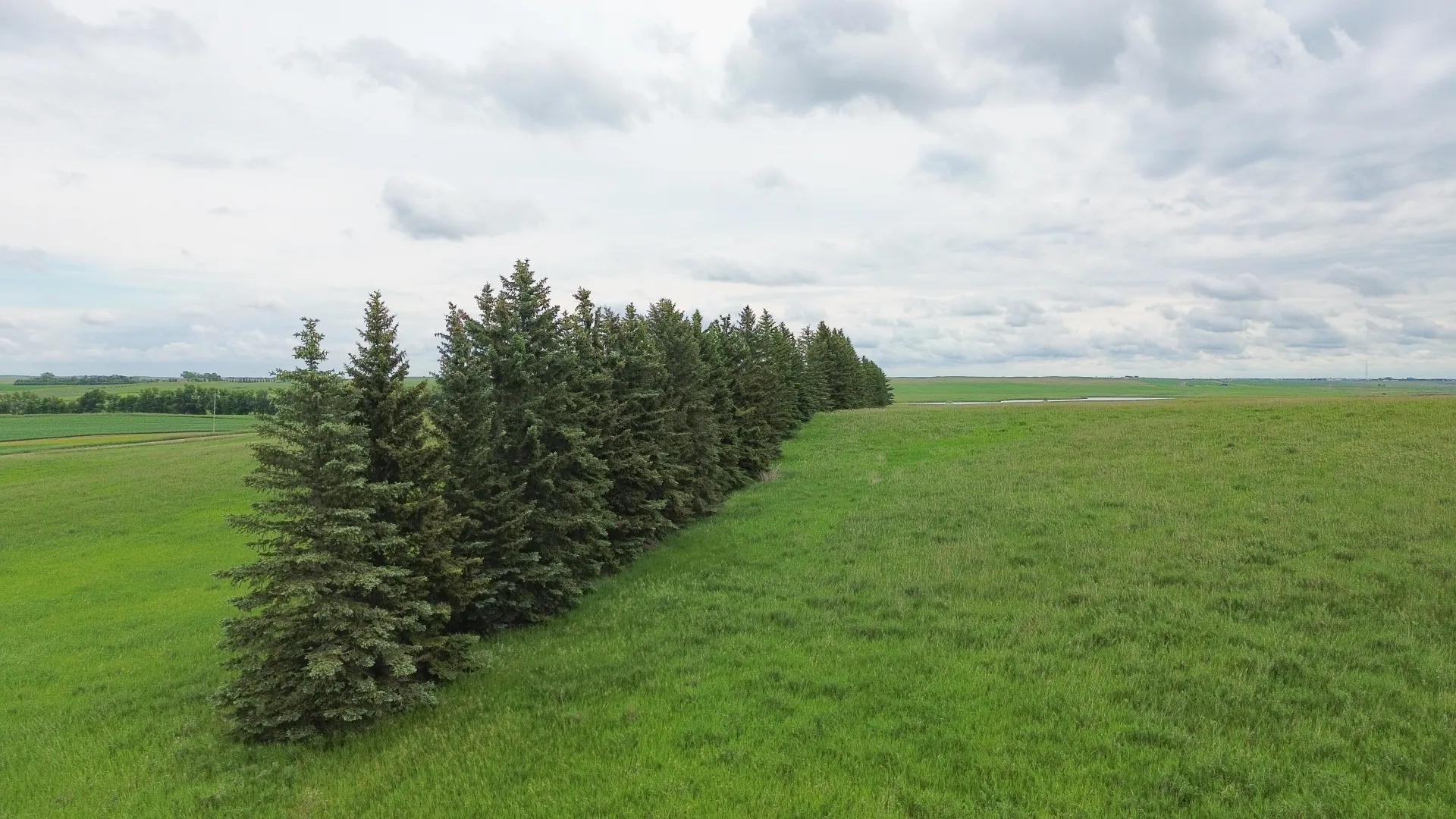
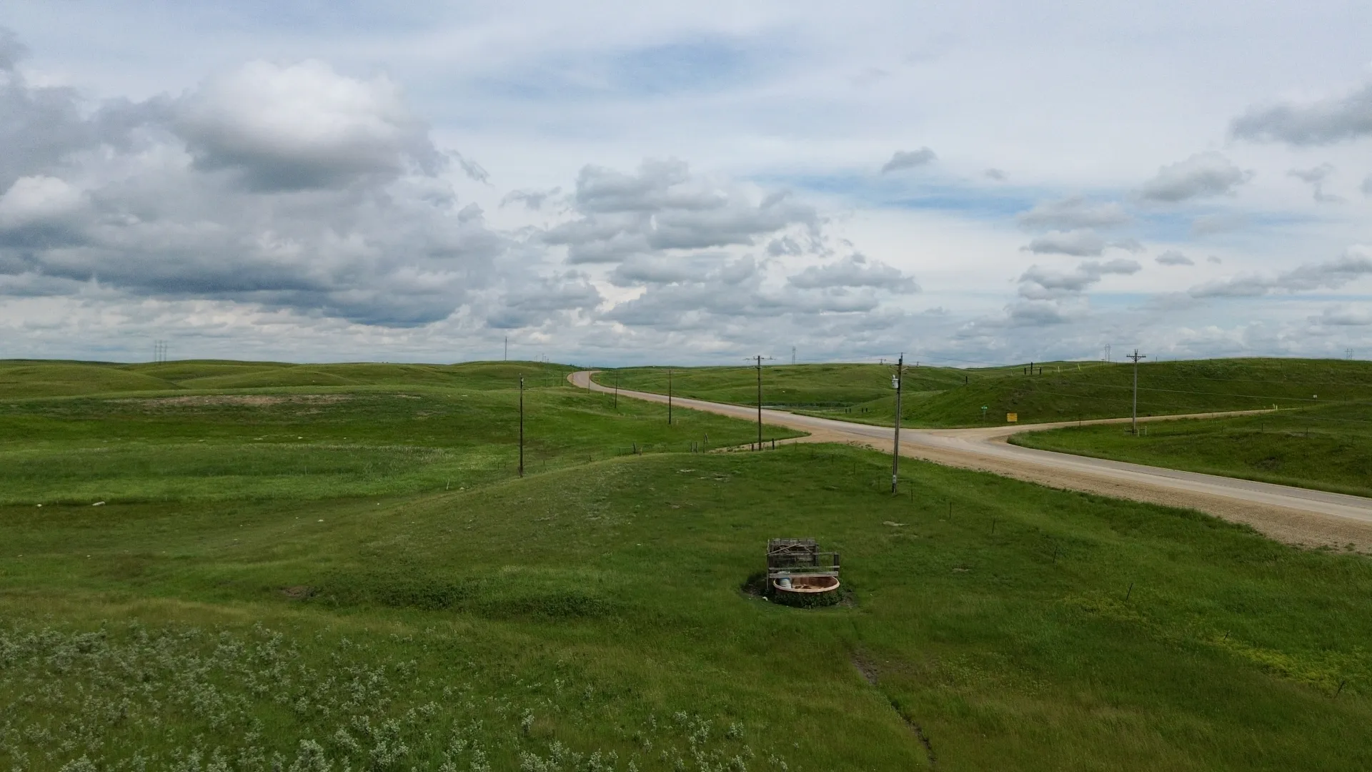
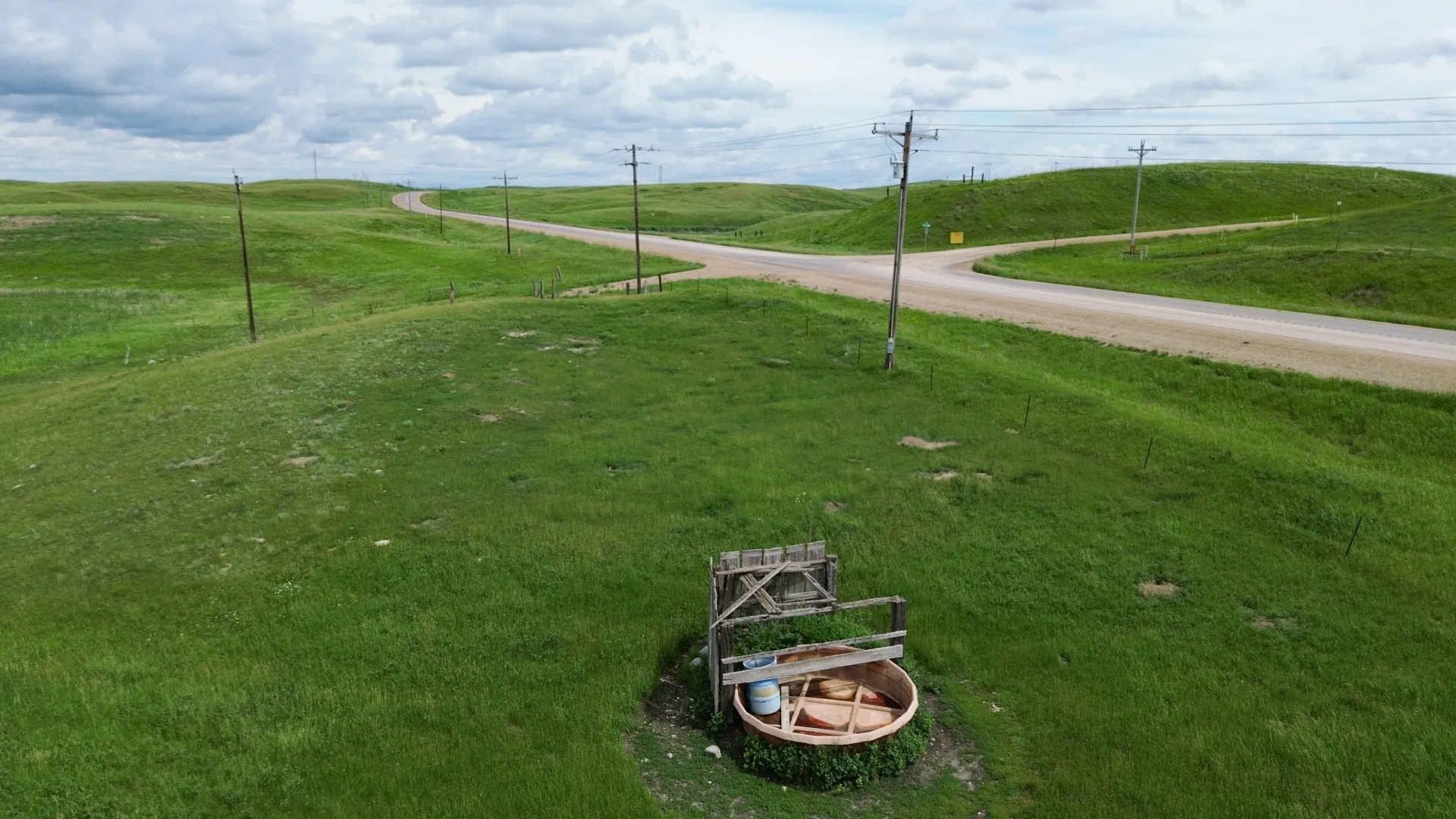
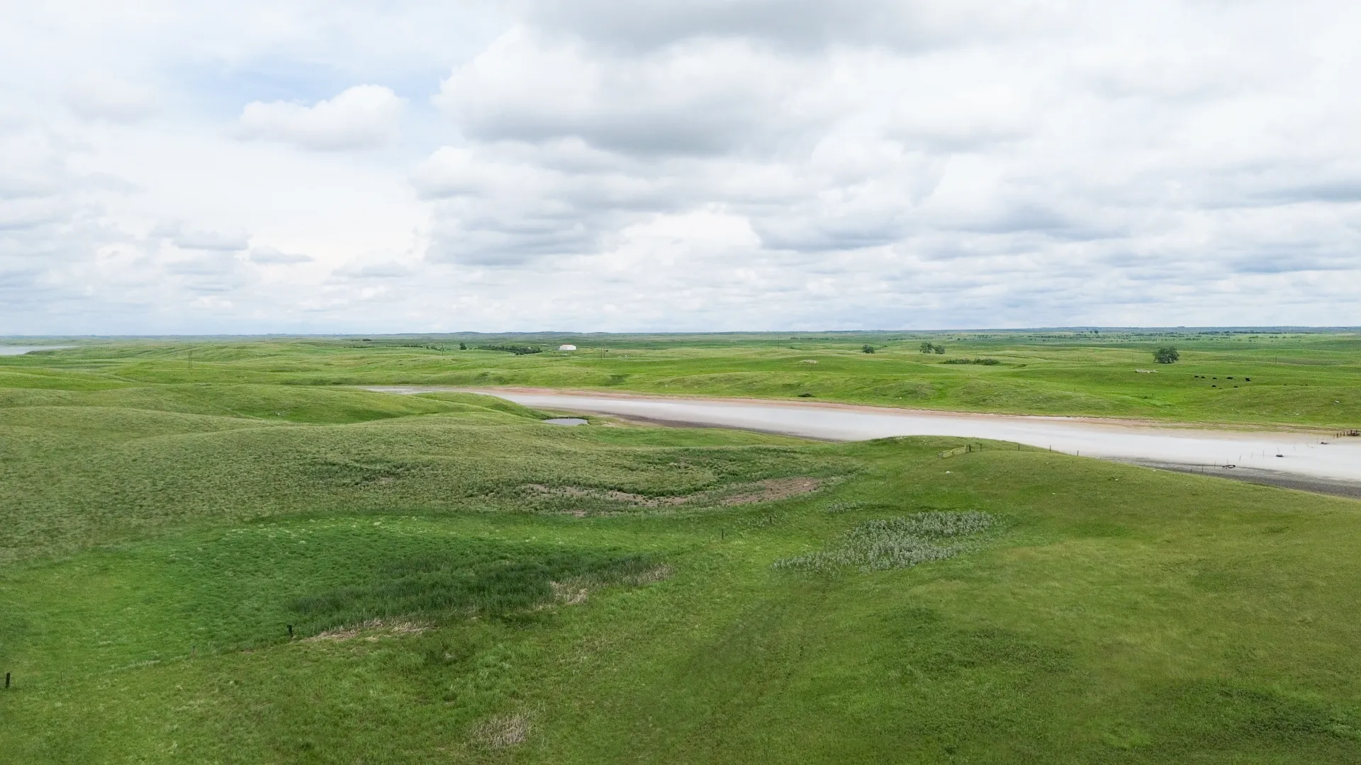
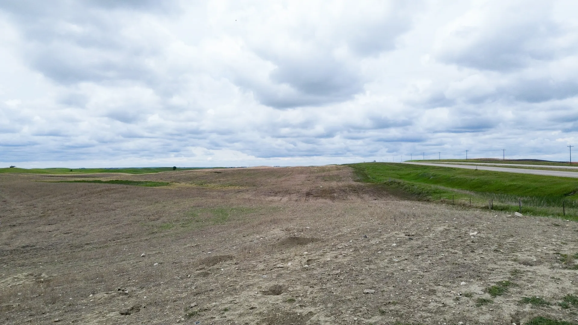
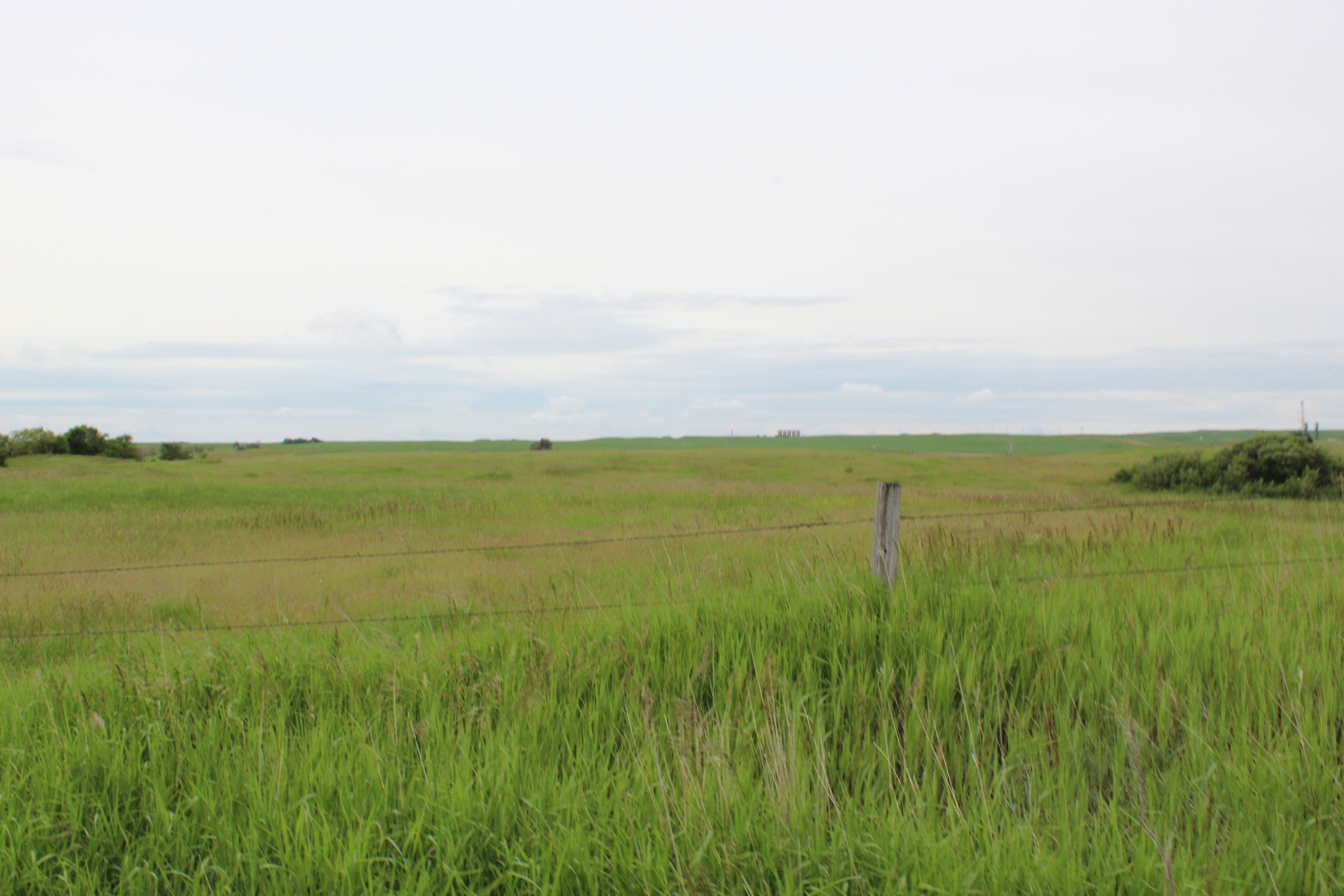
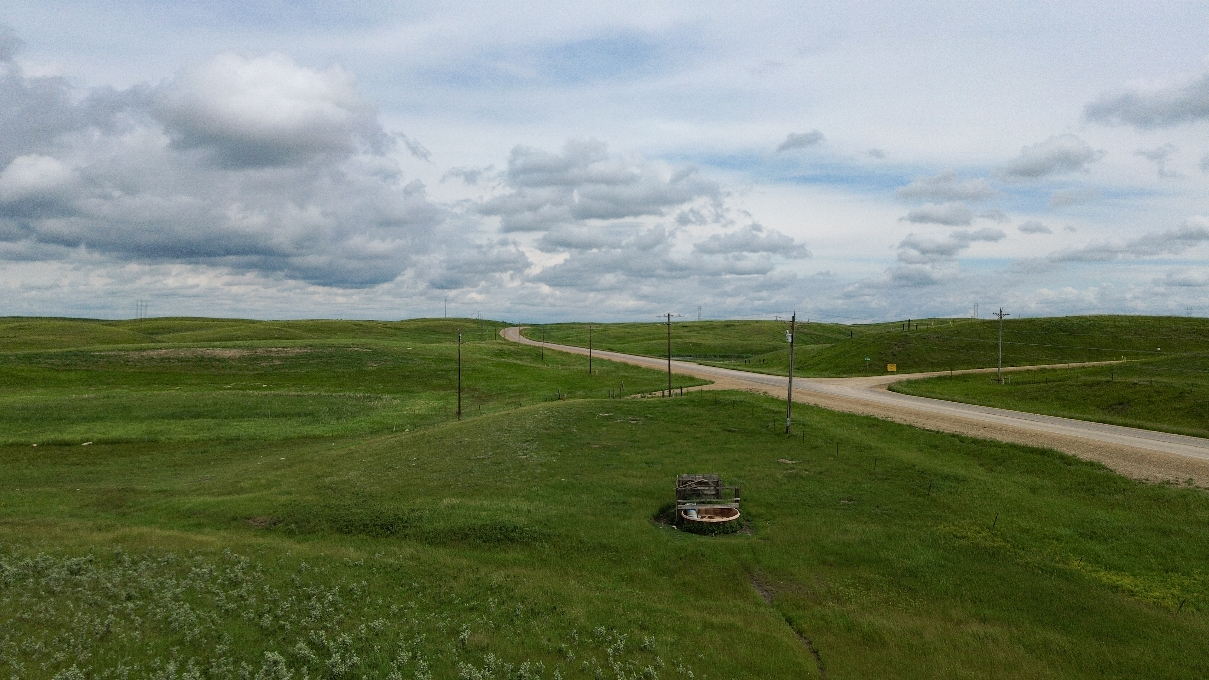
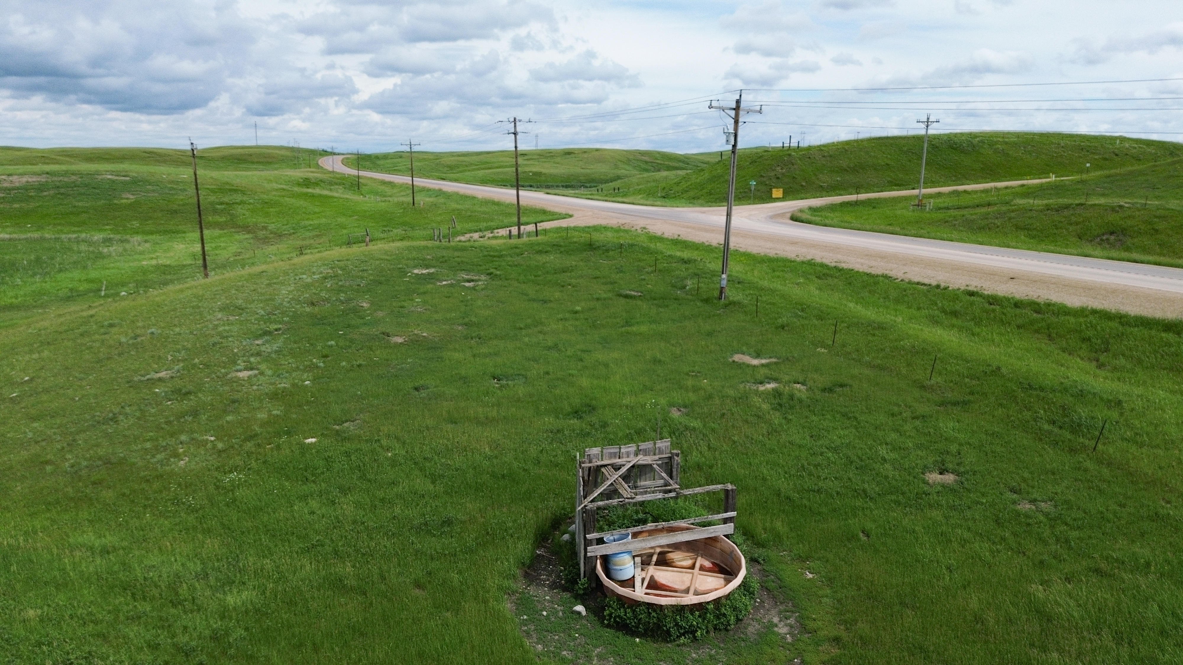
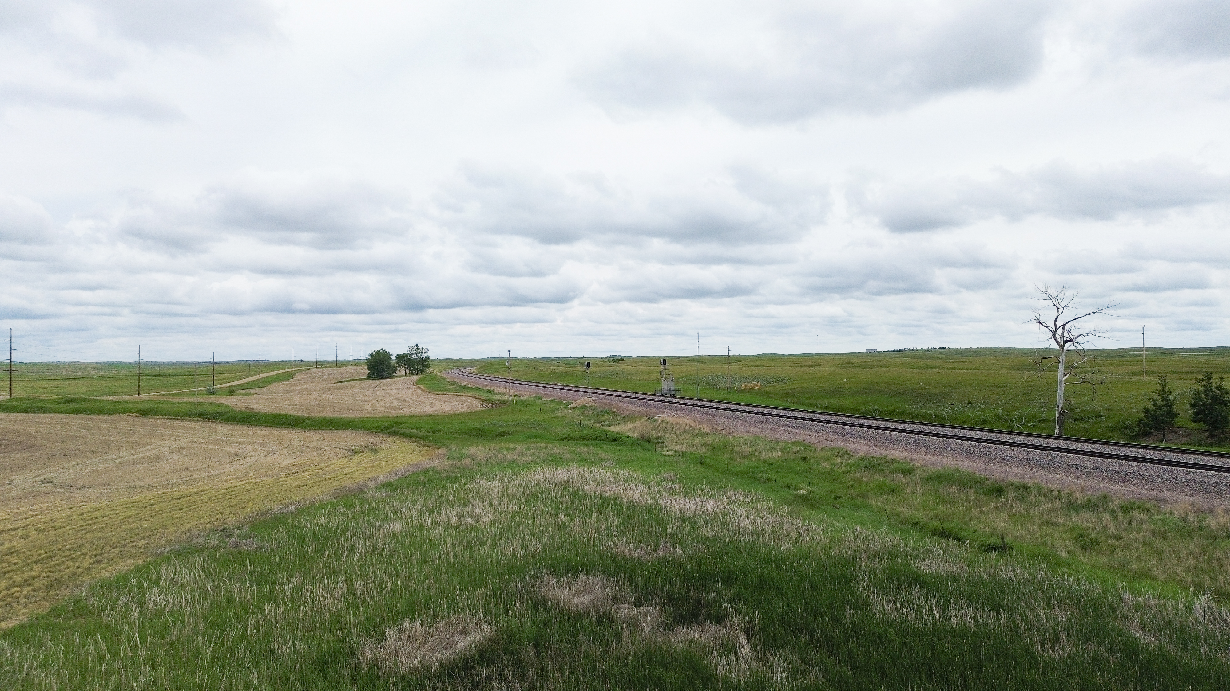
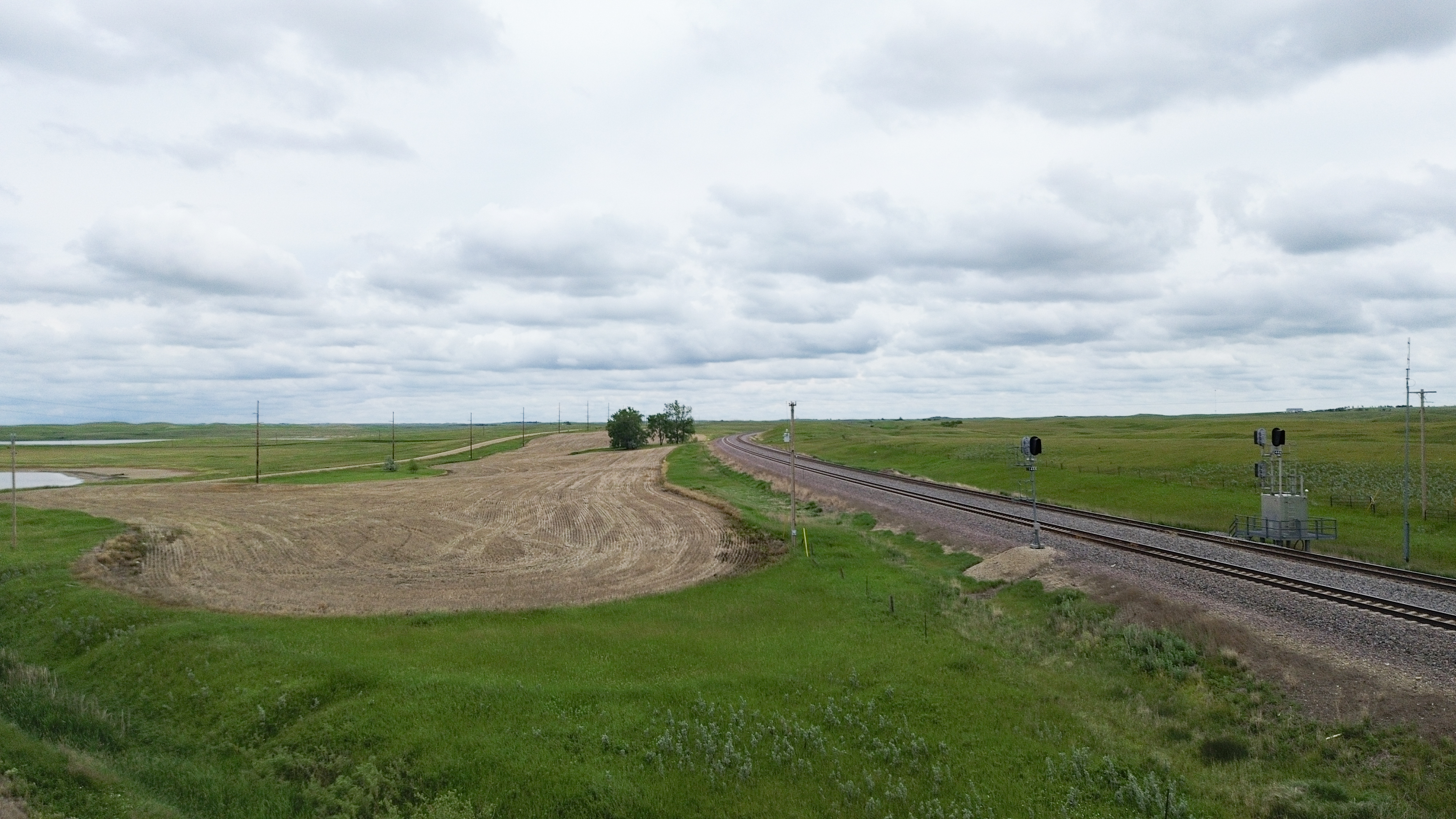
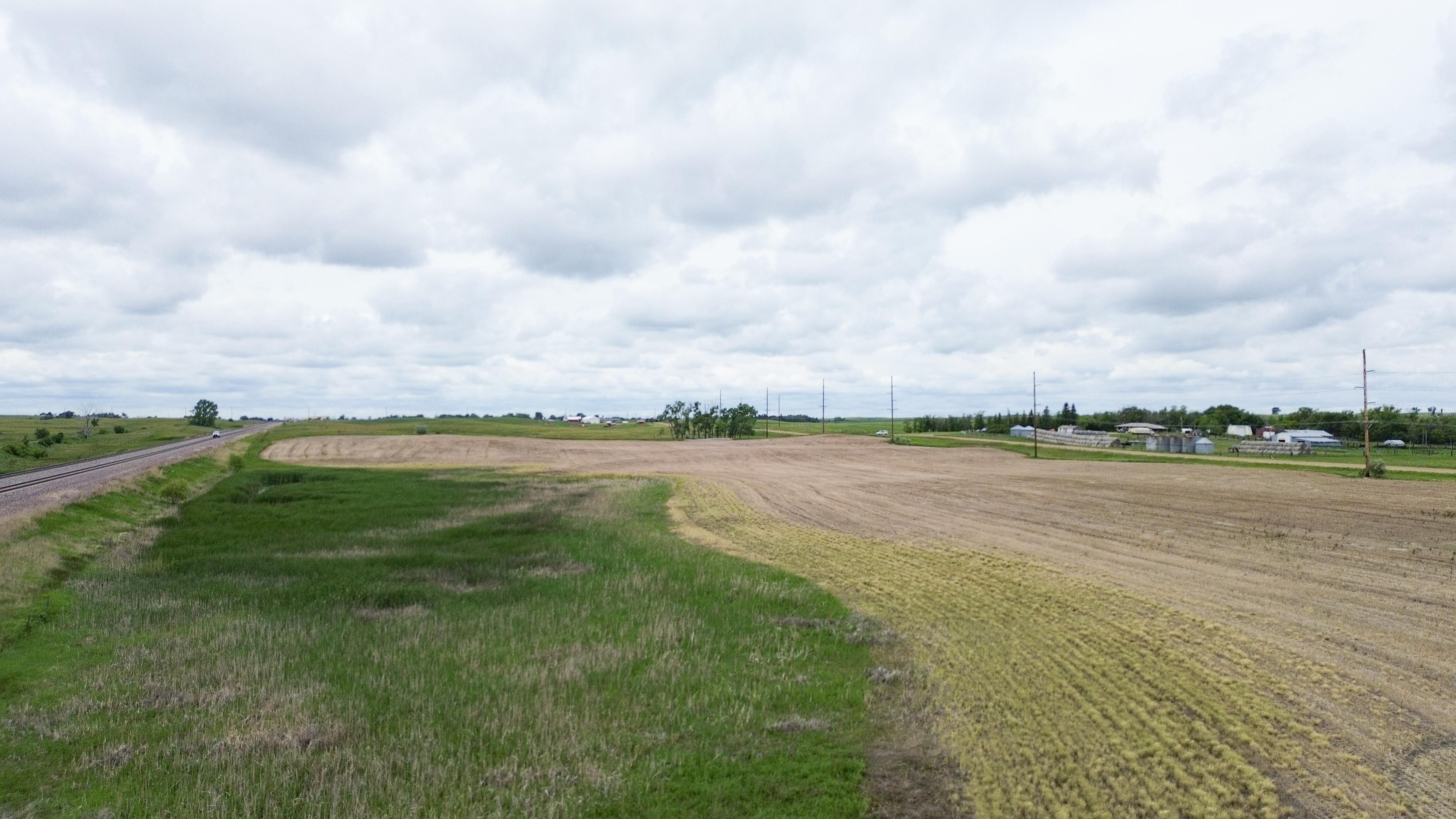
A majority of the parcels offer direct access from paved highways or well-maintained gravel roads with excellent year-round accessibility. Many of the tracts feature mature tree shelterbelts, livestock water sources, and well-established pasture infrastructure, adding to their value and usability. Whether you're looking to expand your farming operation, add productive grazing land, invest in rural real estate, or purchase a rural homesite, this auction has it all!
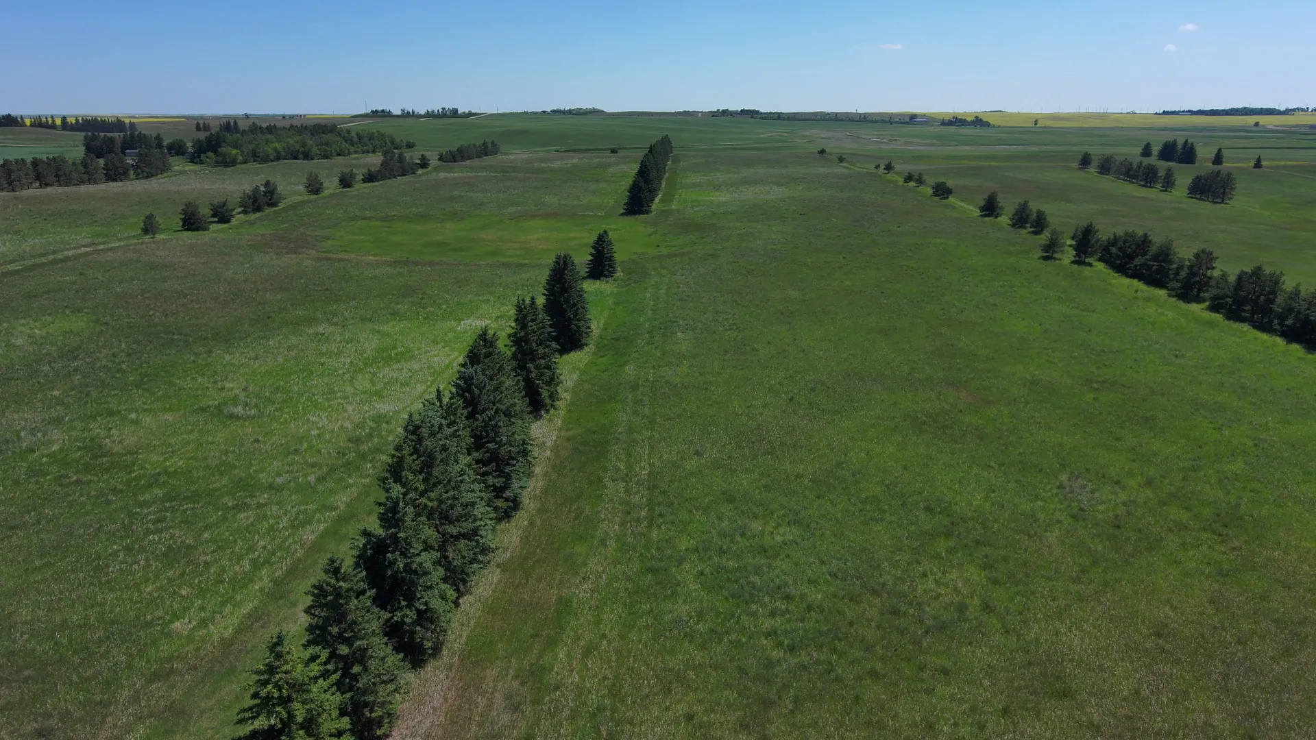
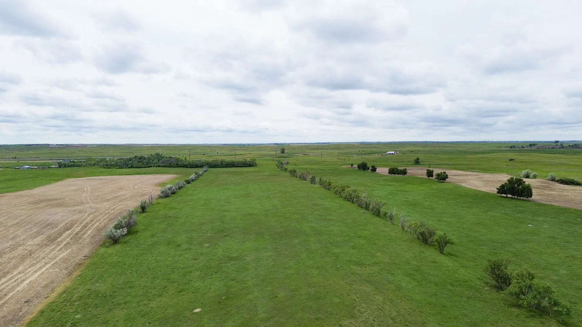
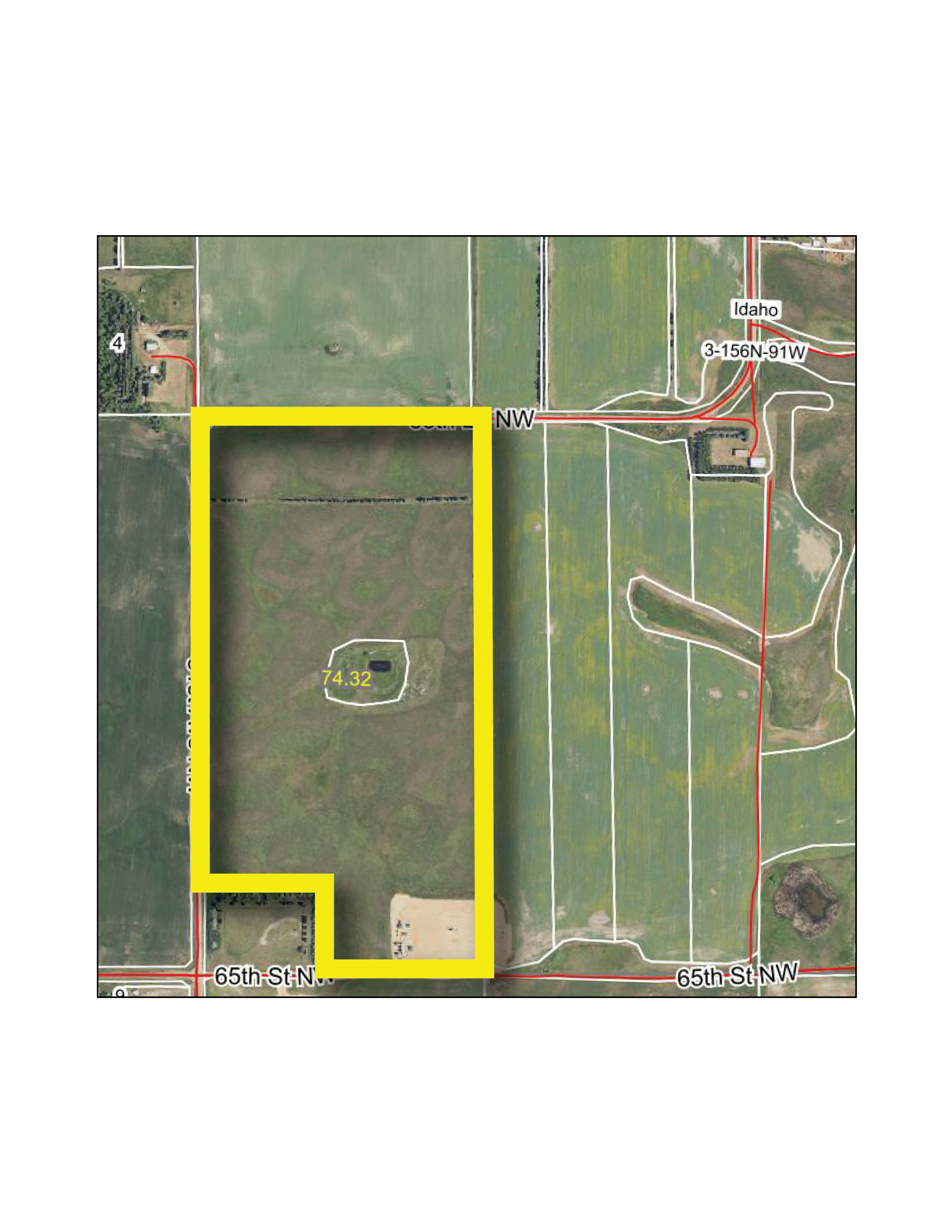
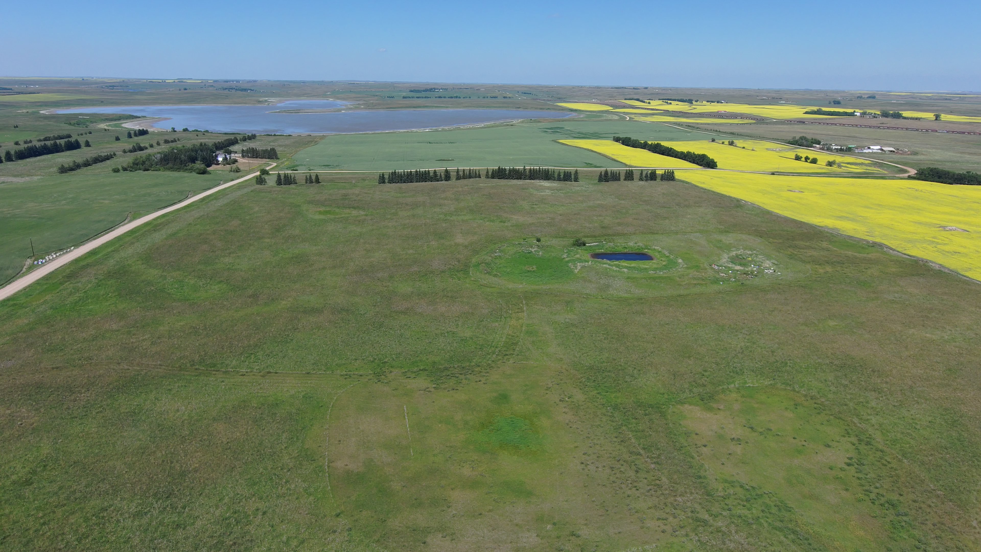
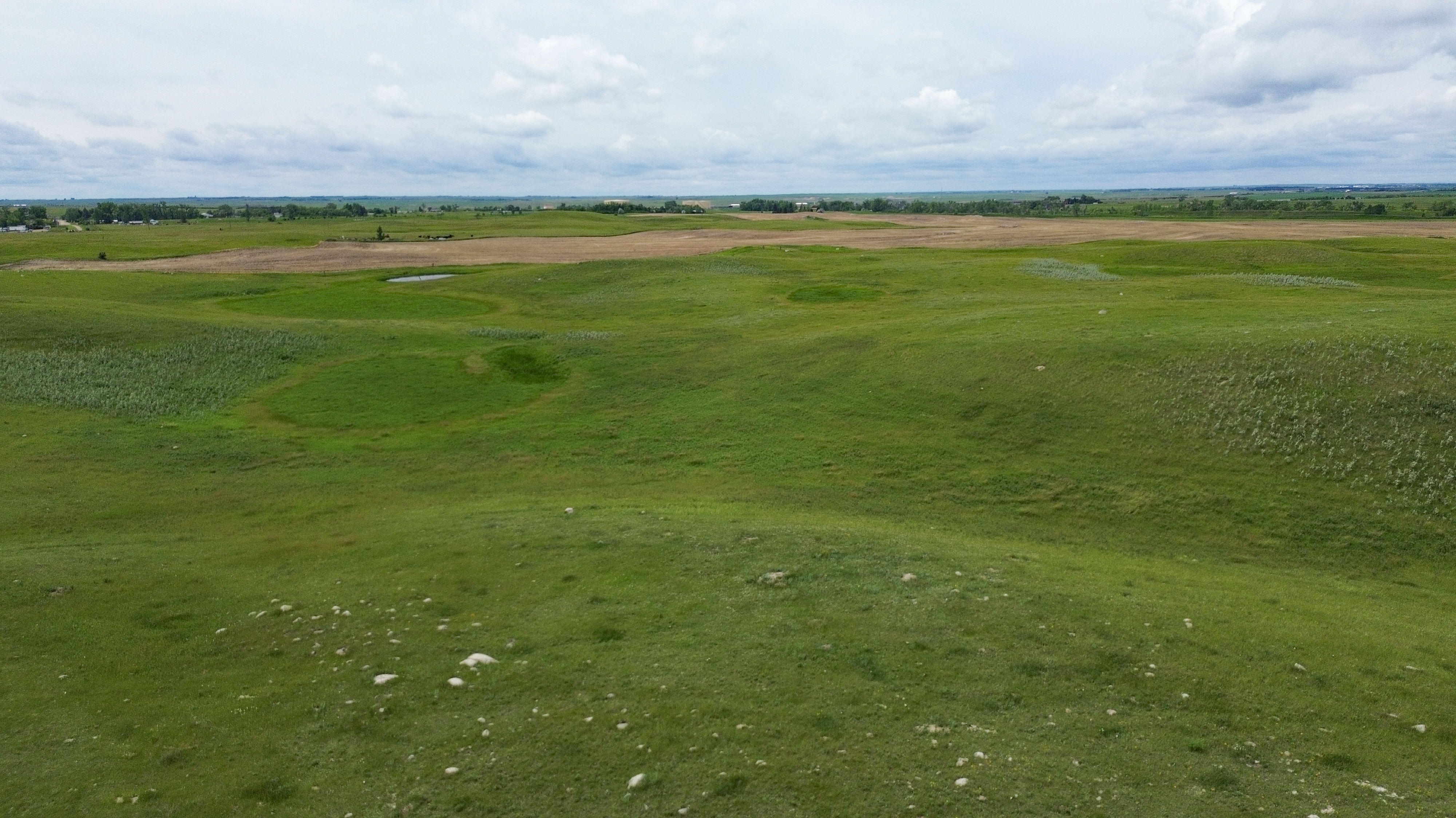
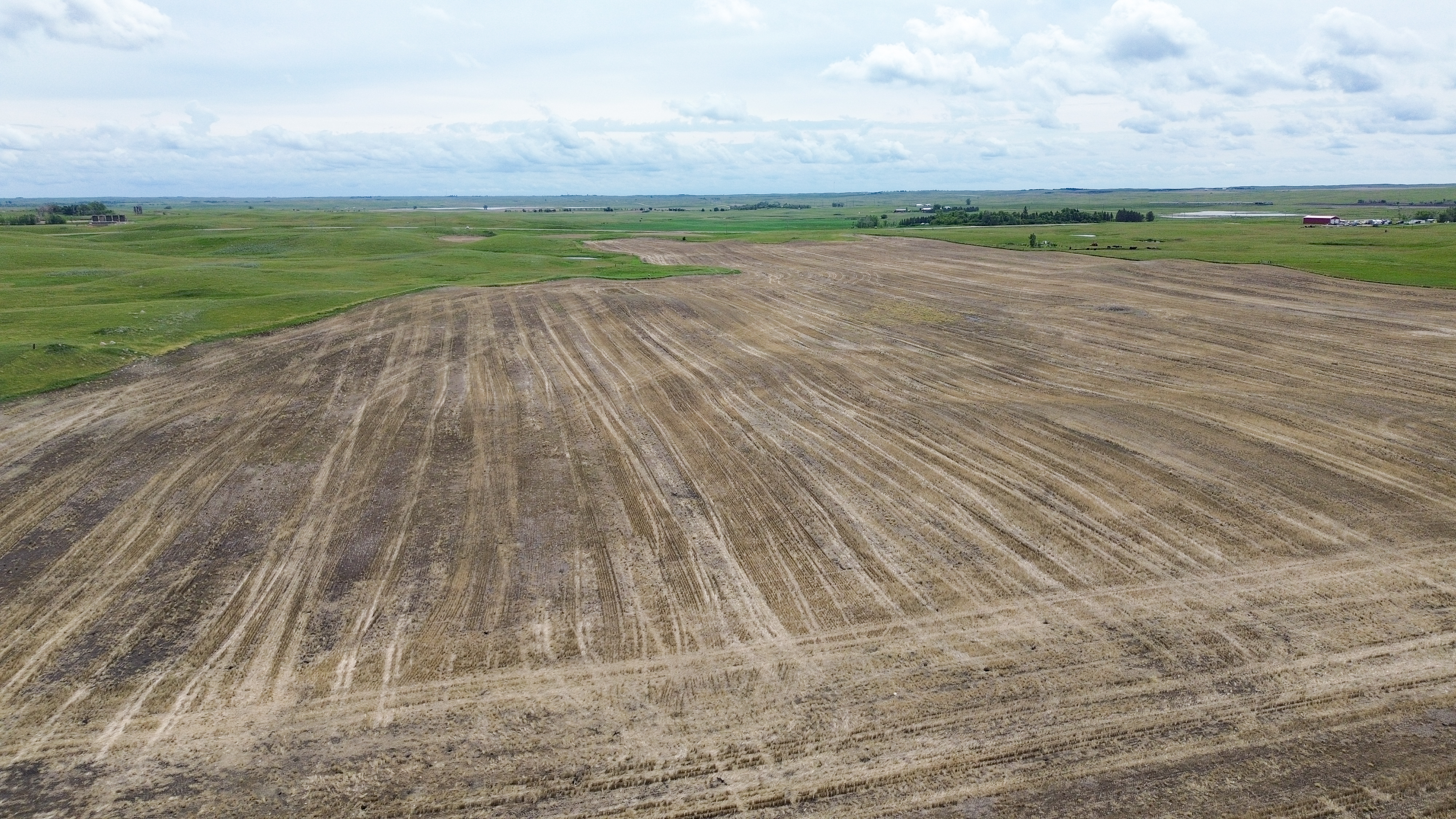
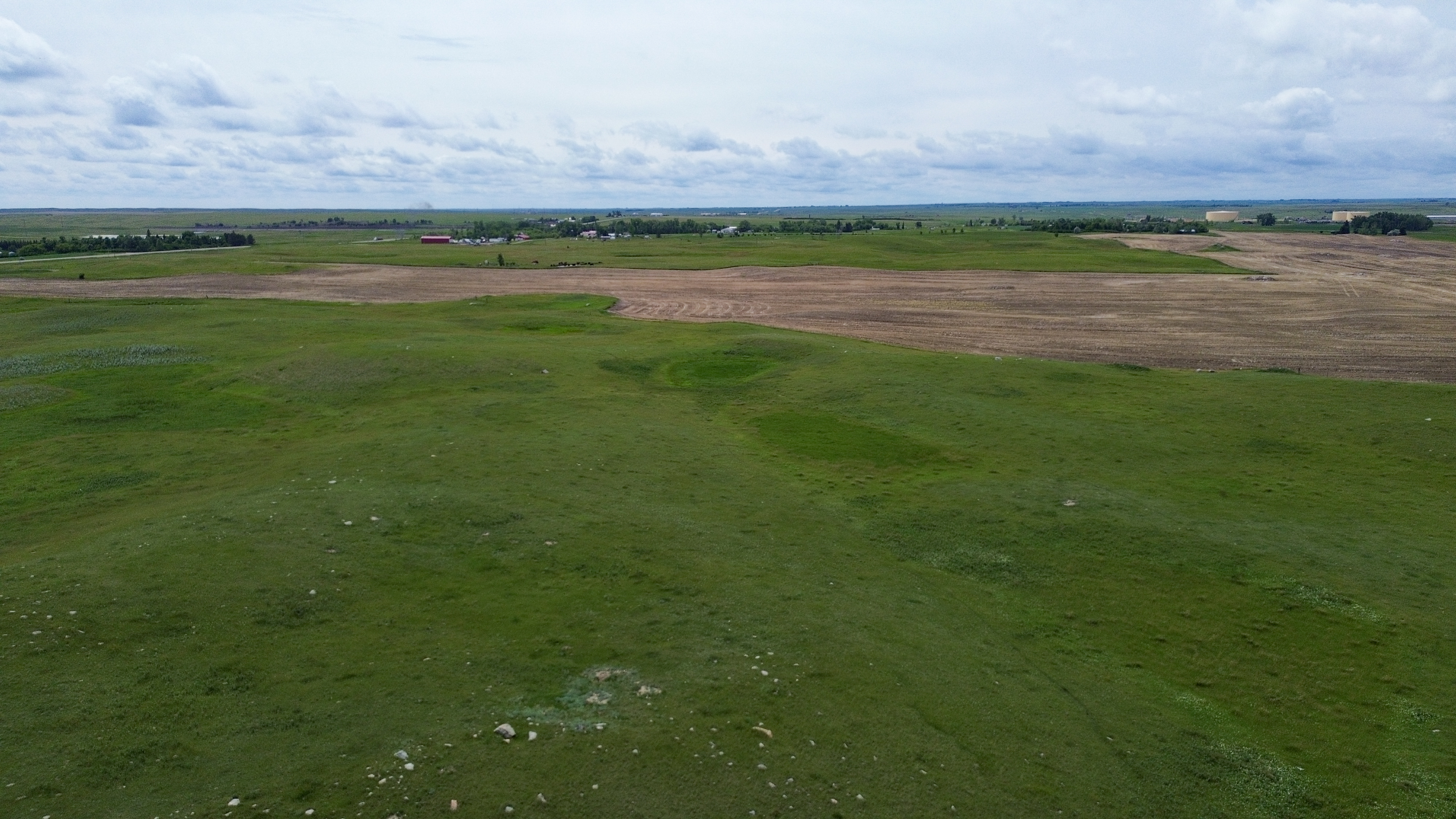
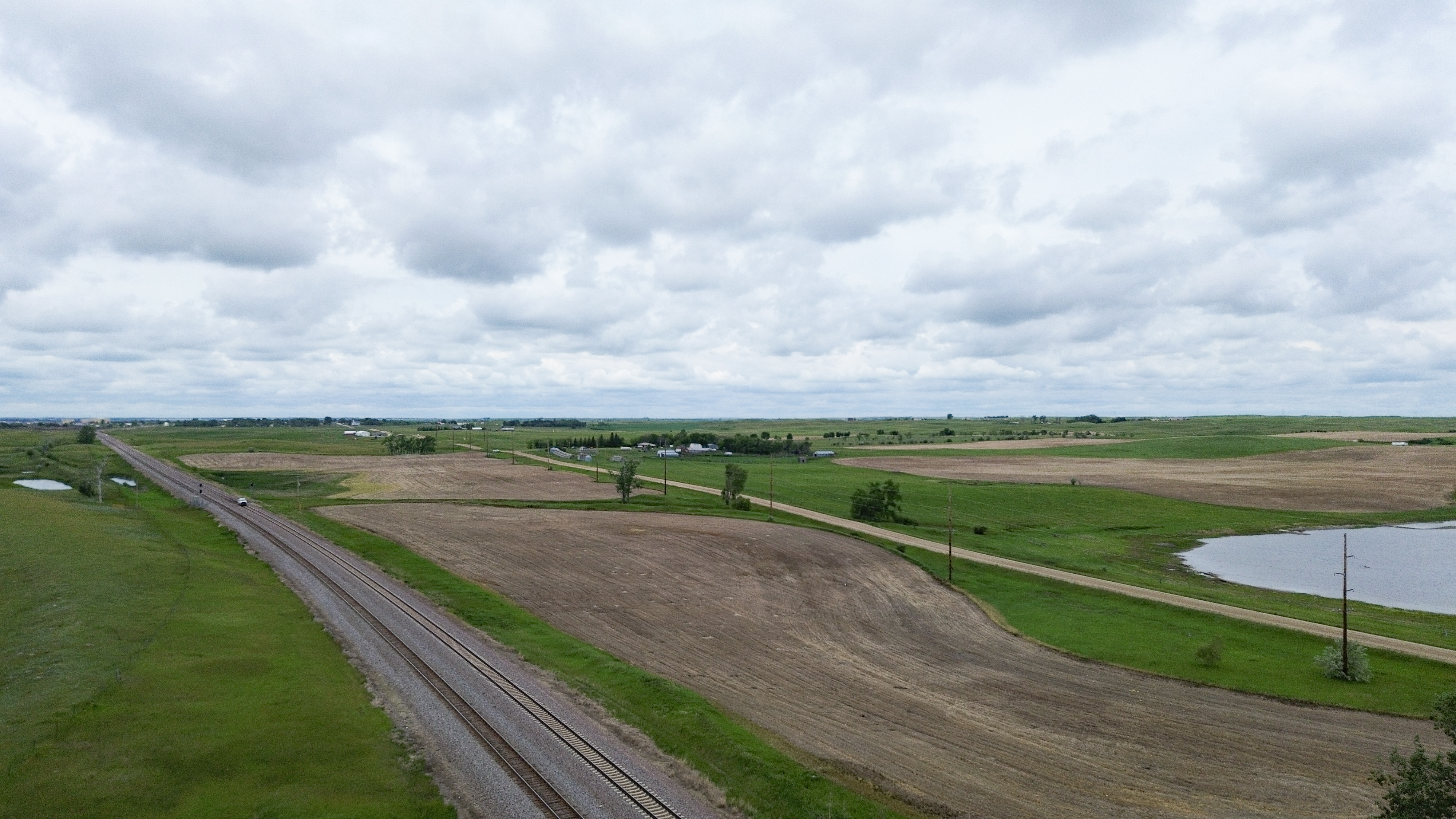
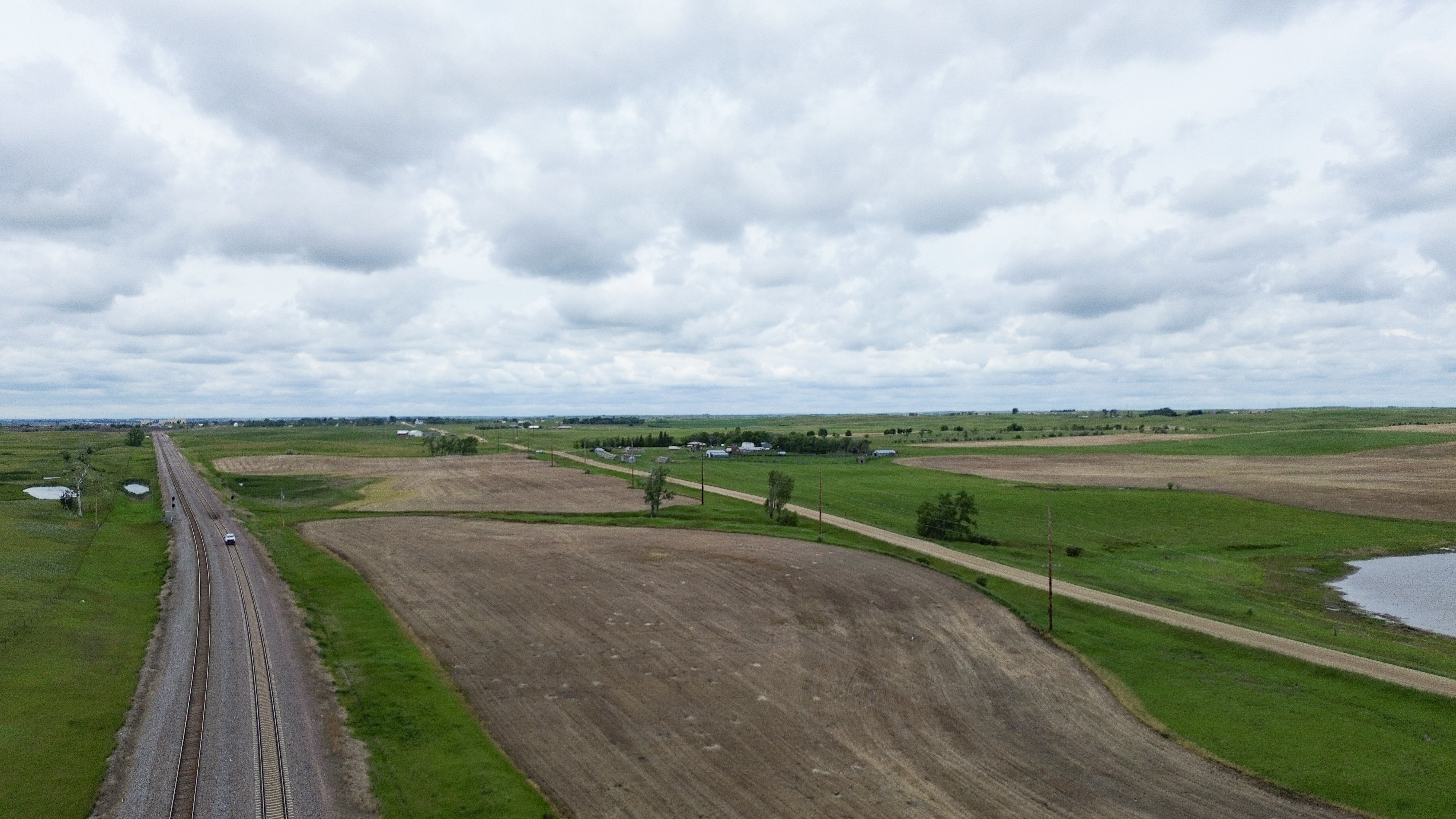
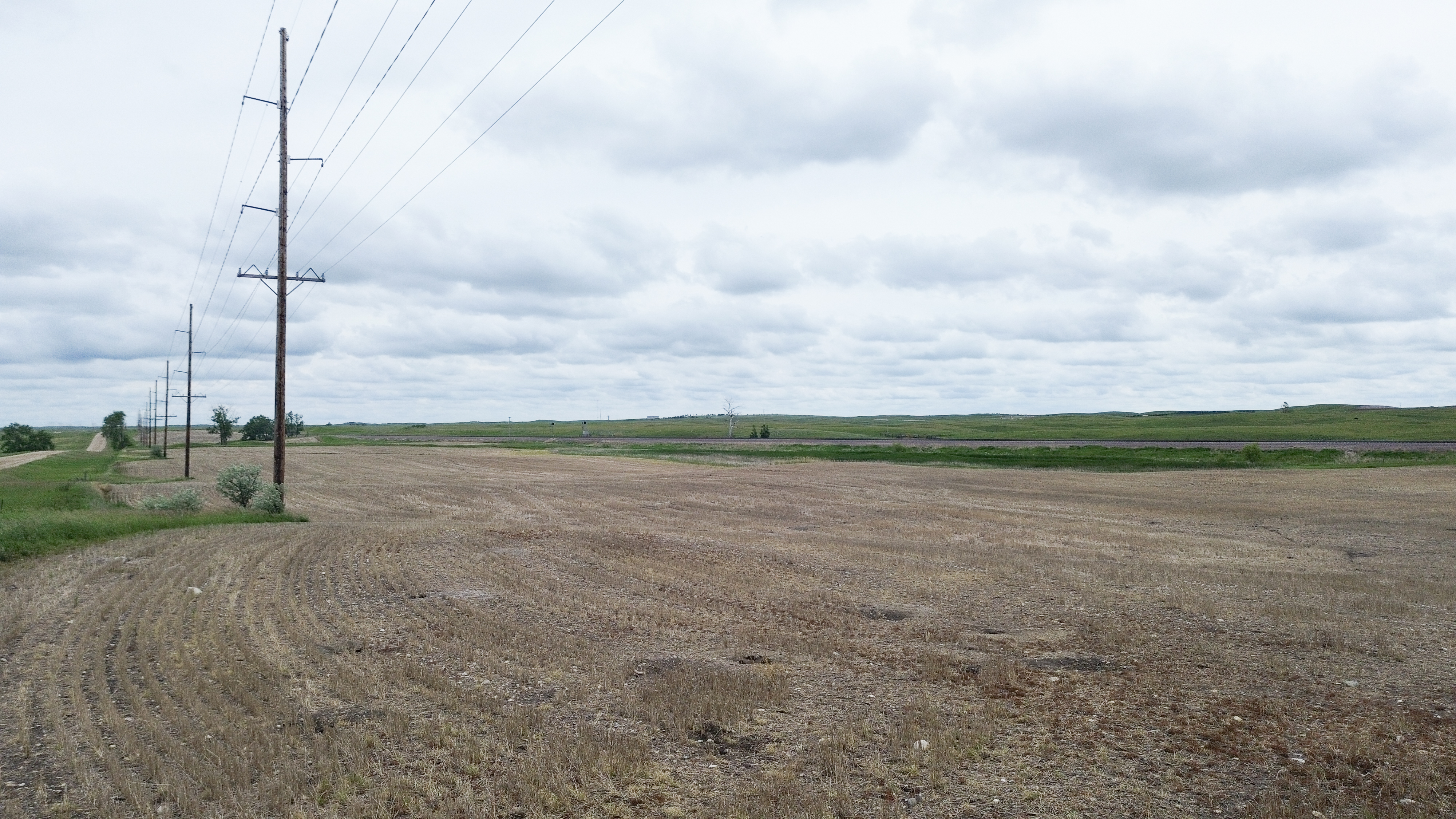
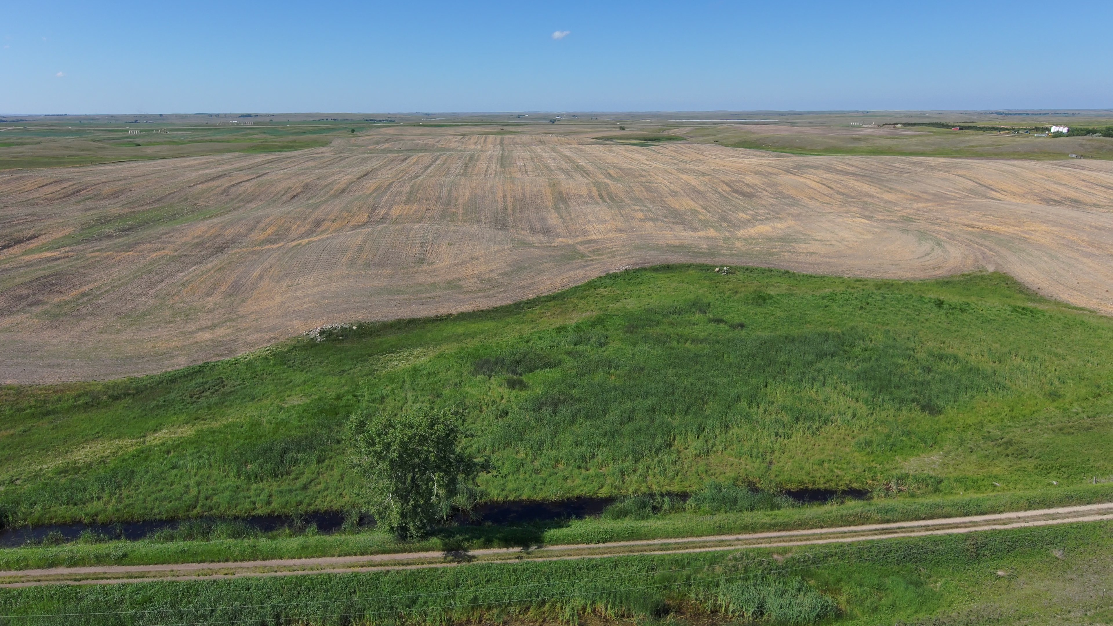
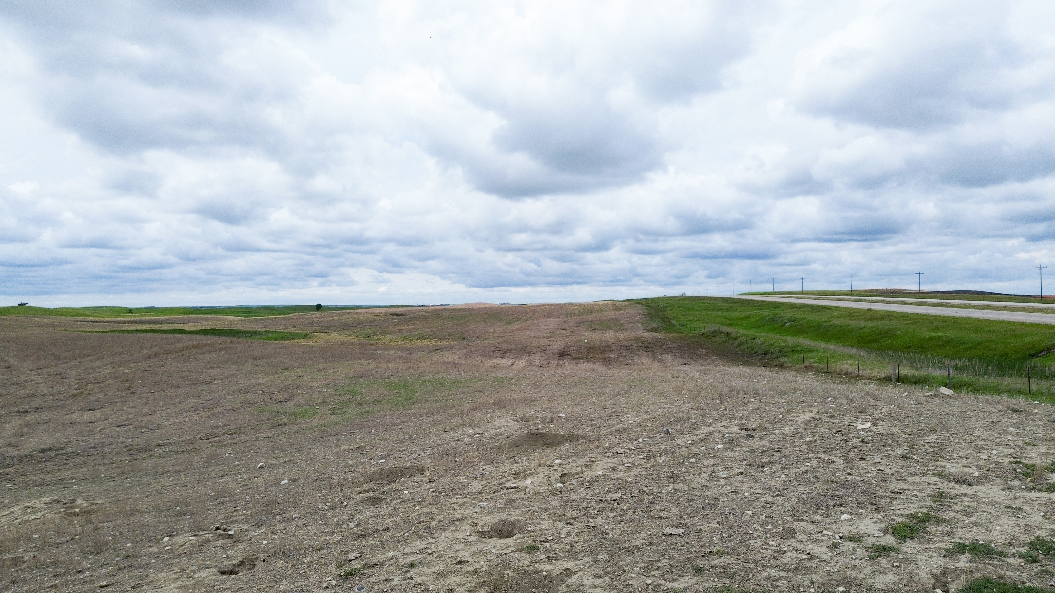
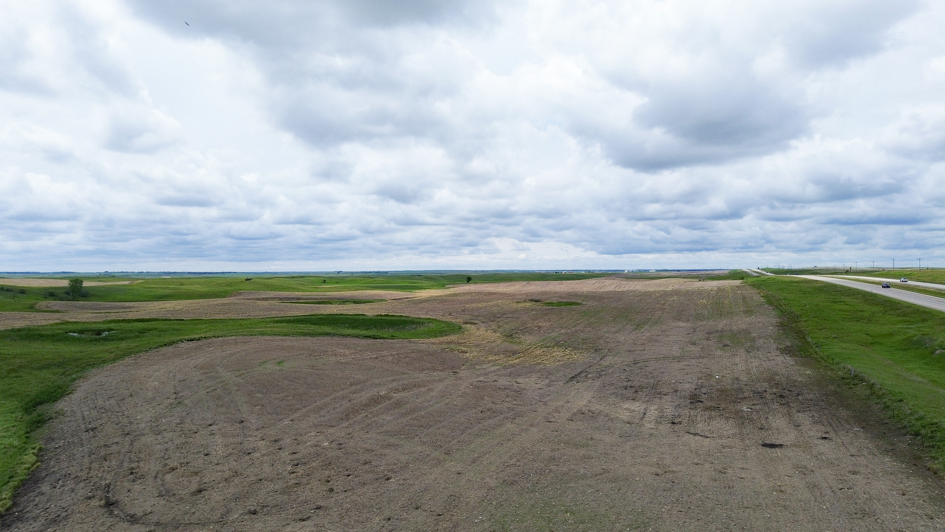
Parcel 1 • Mountrail County, ND
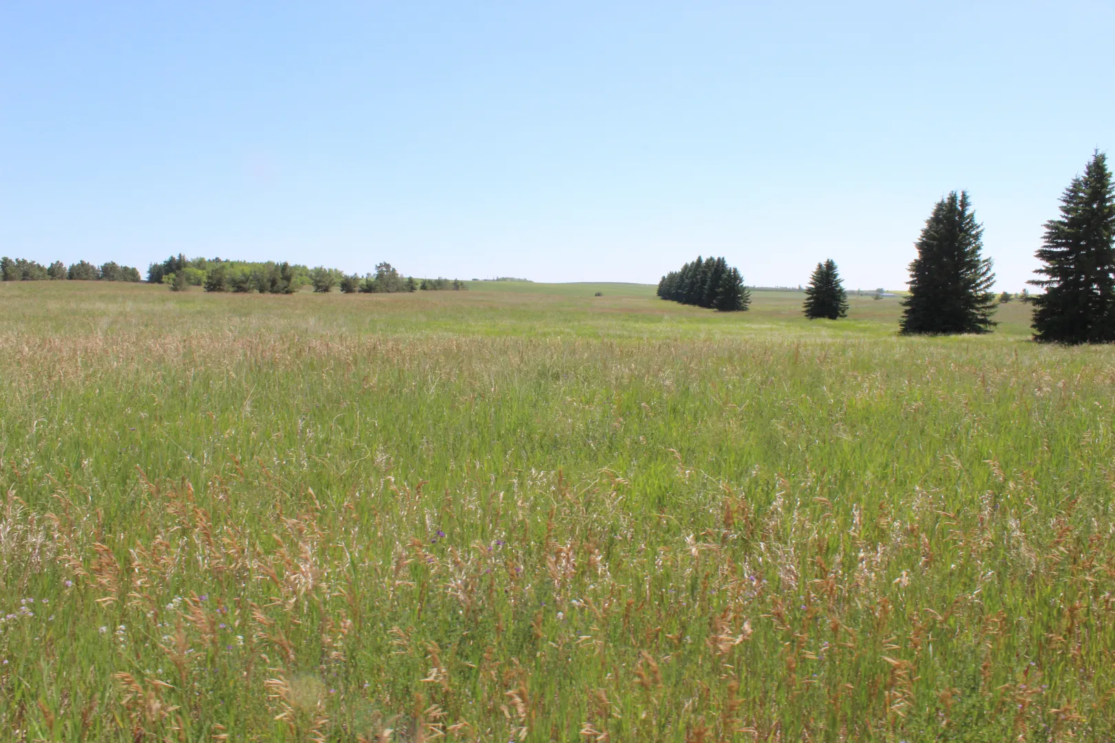
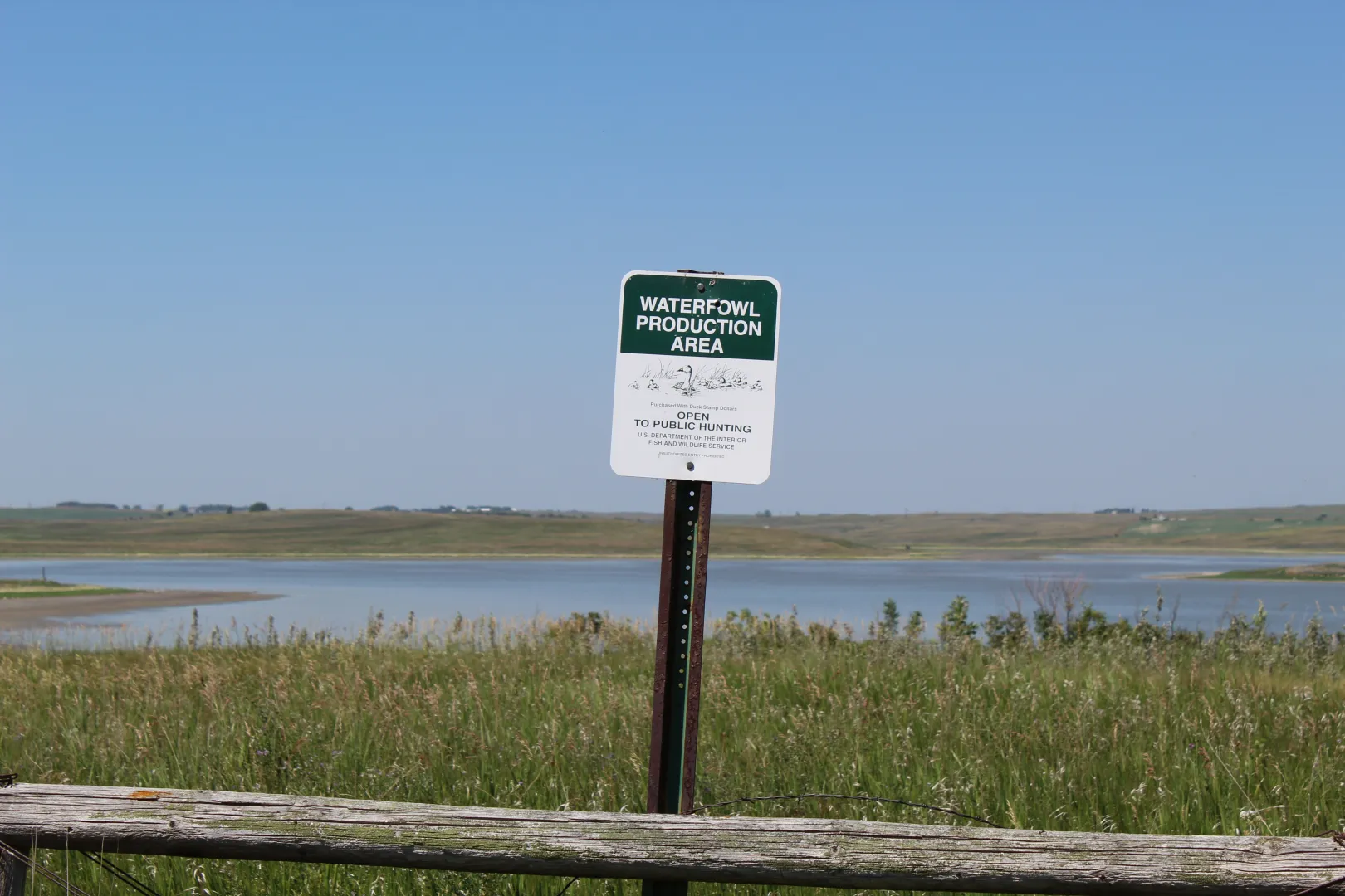
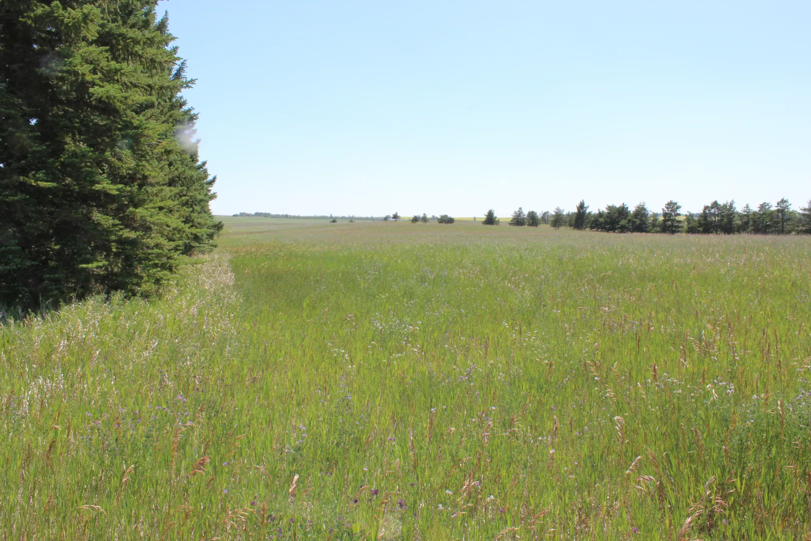
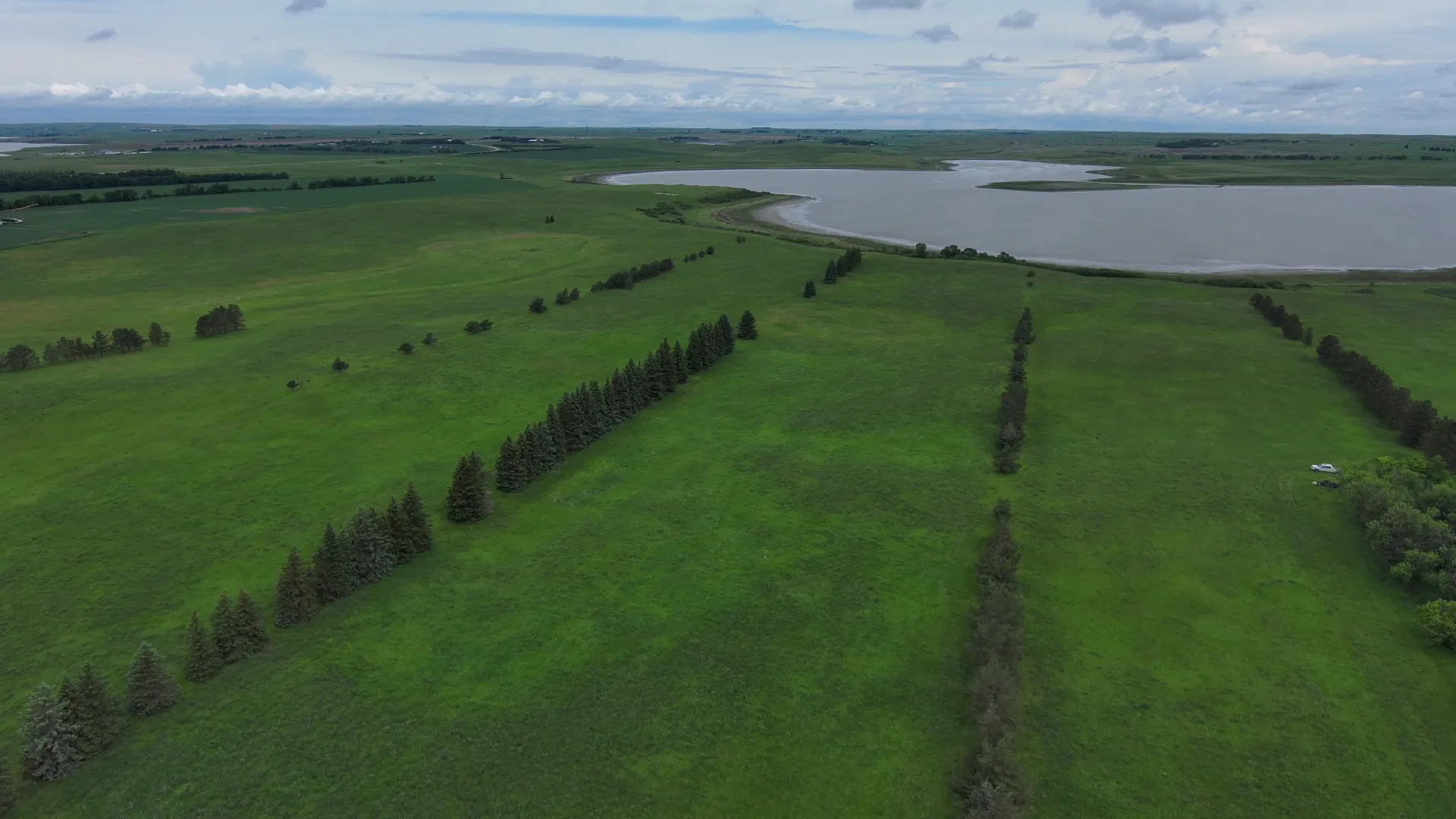
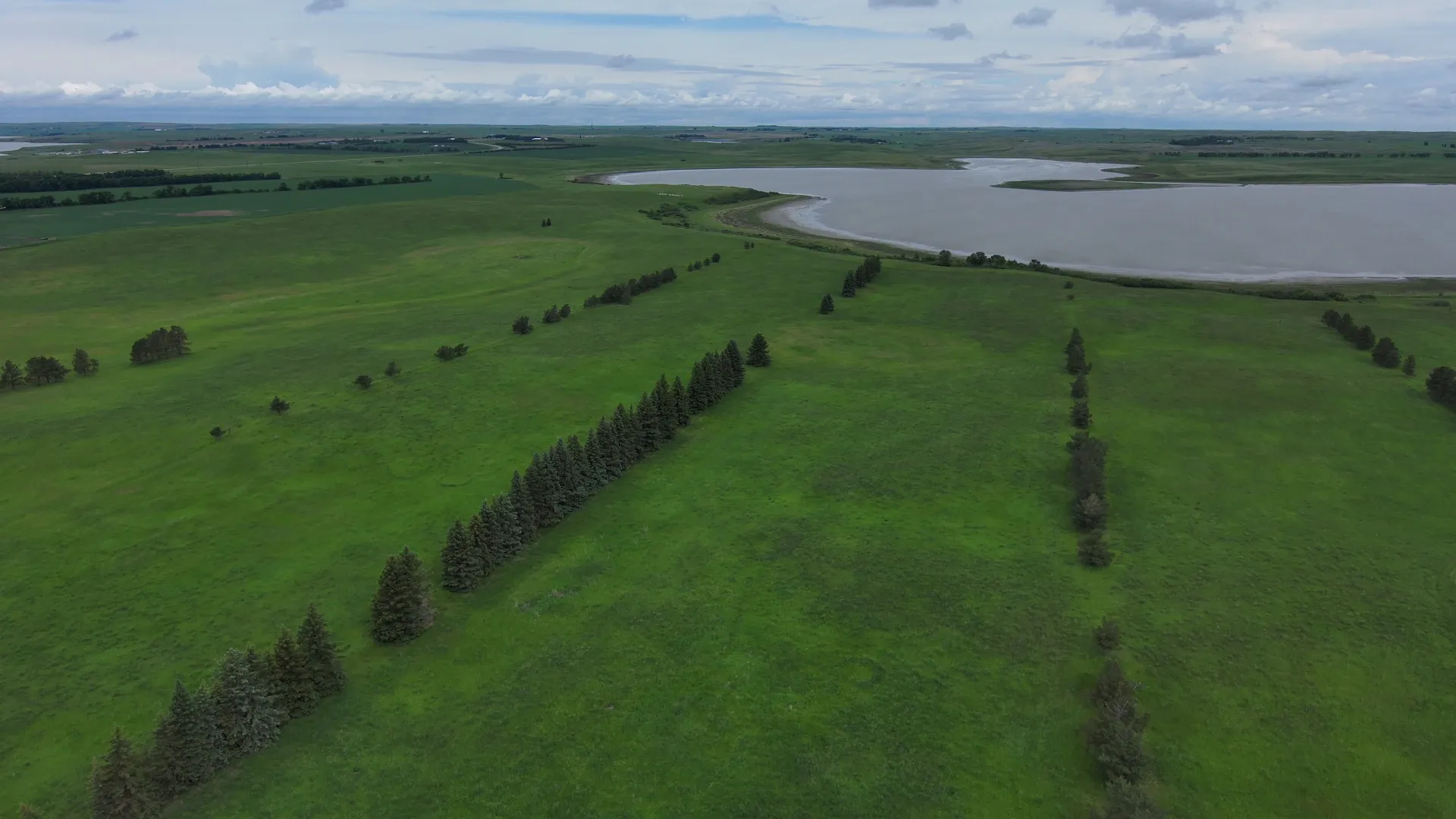
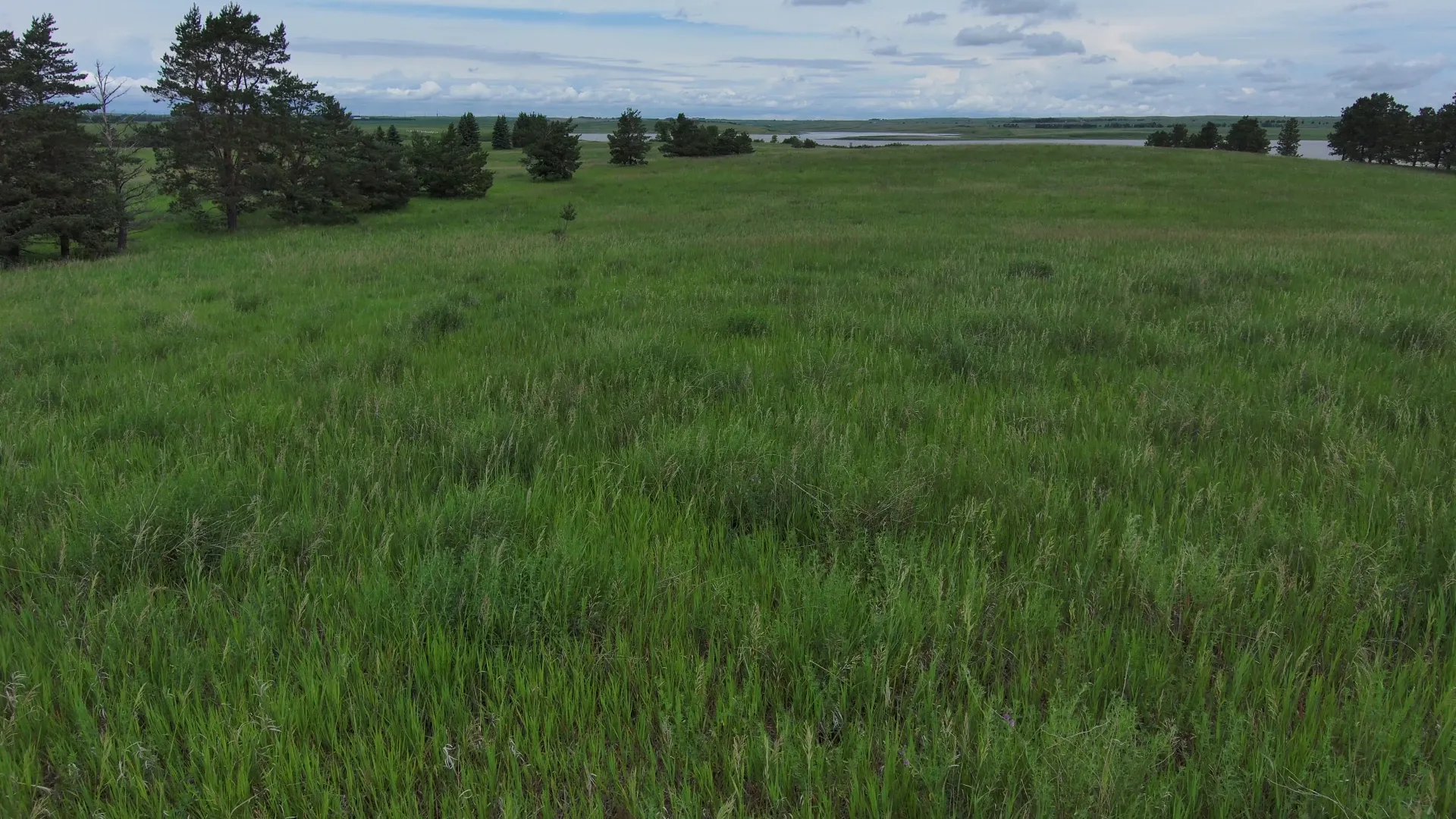
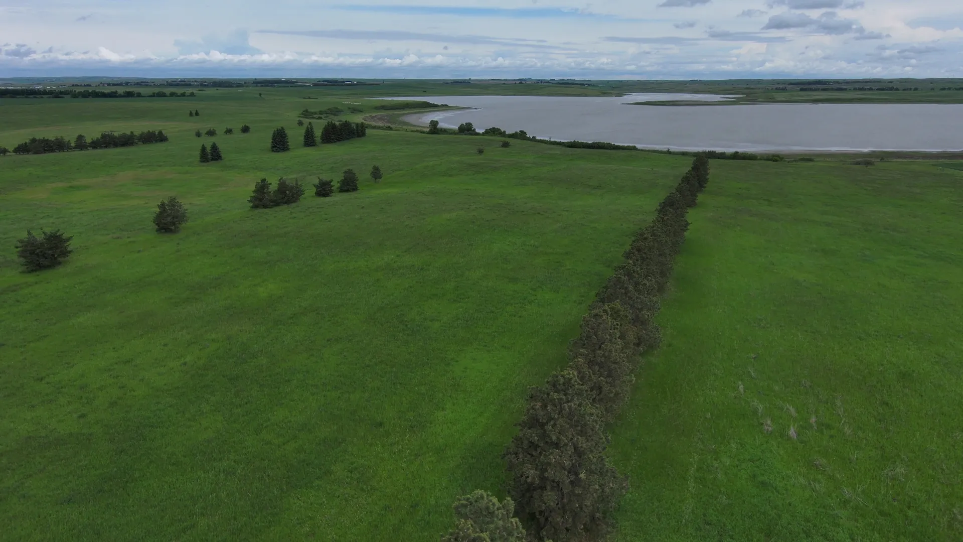
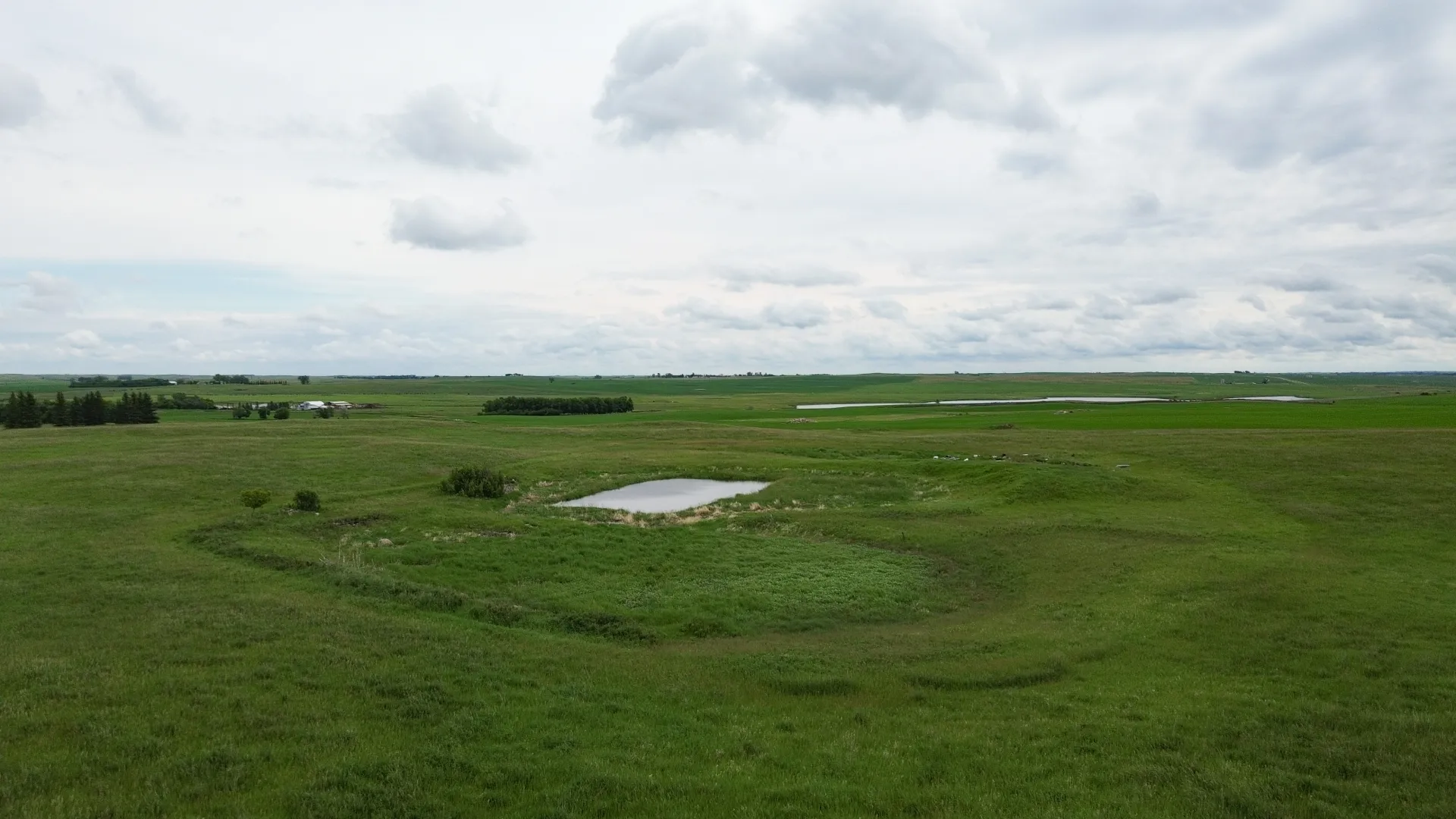
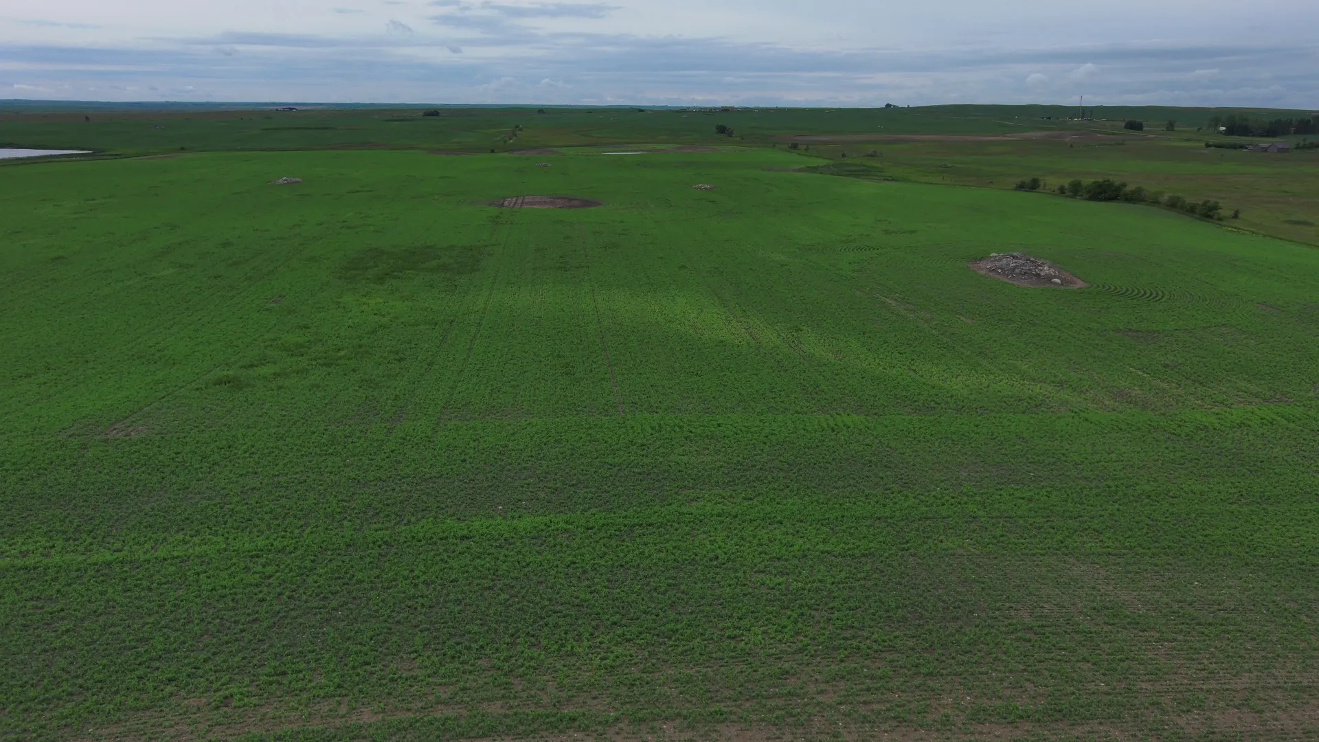
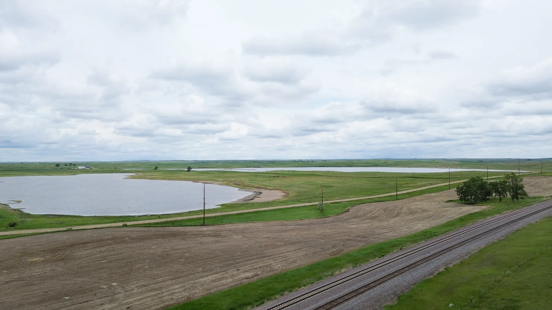
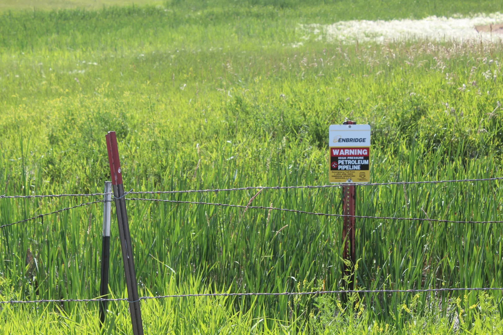
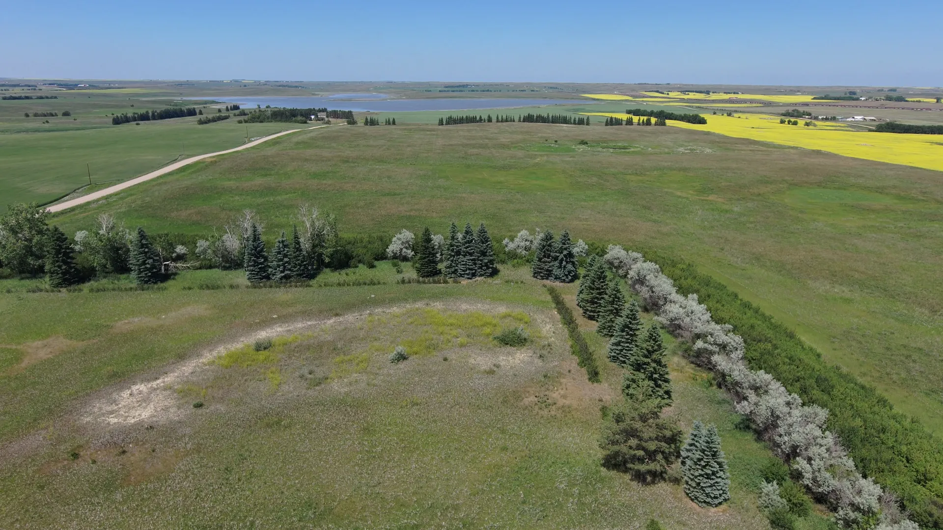
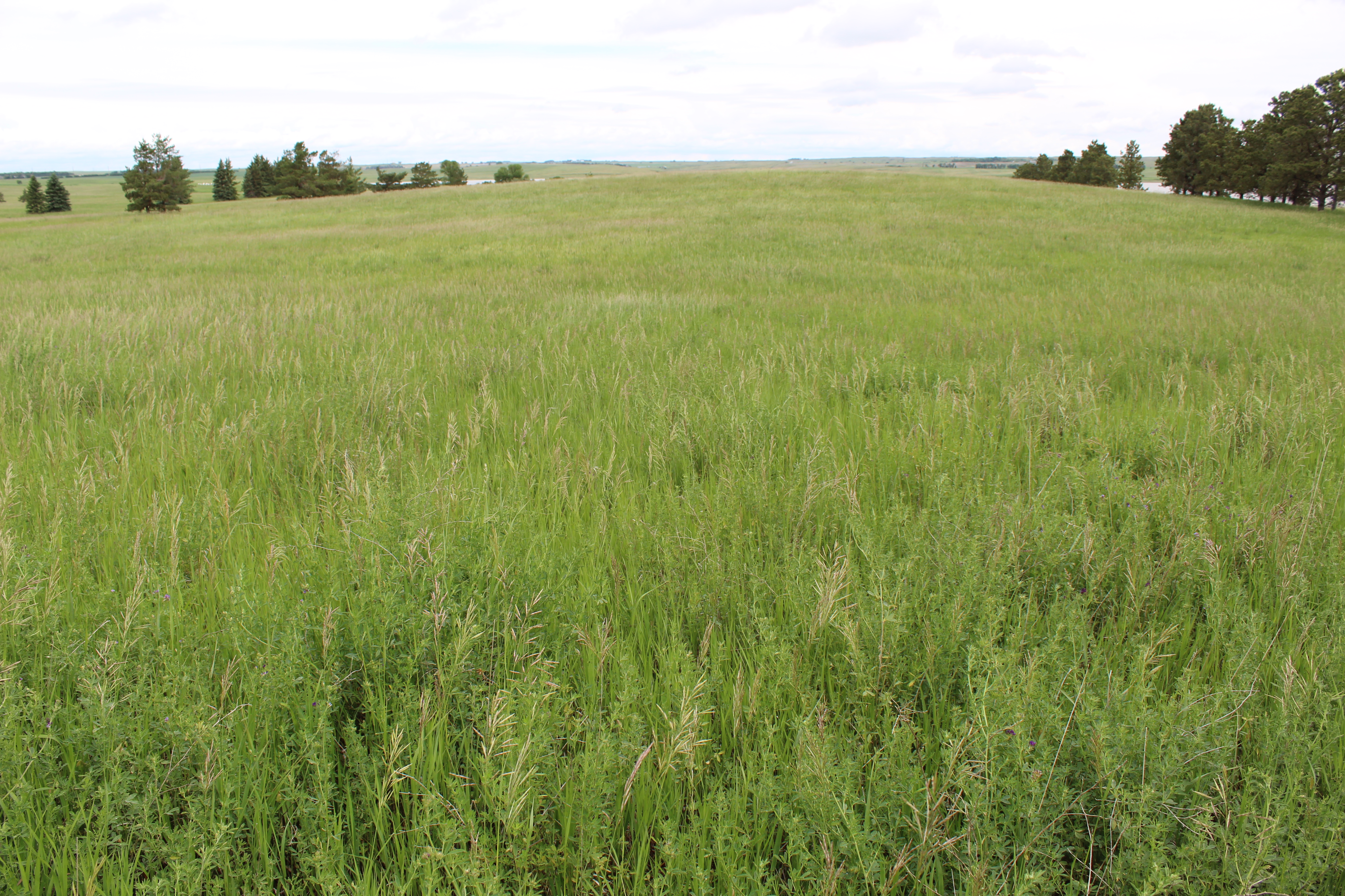
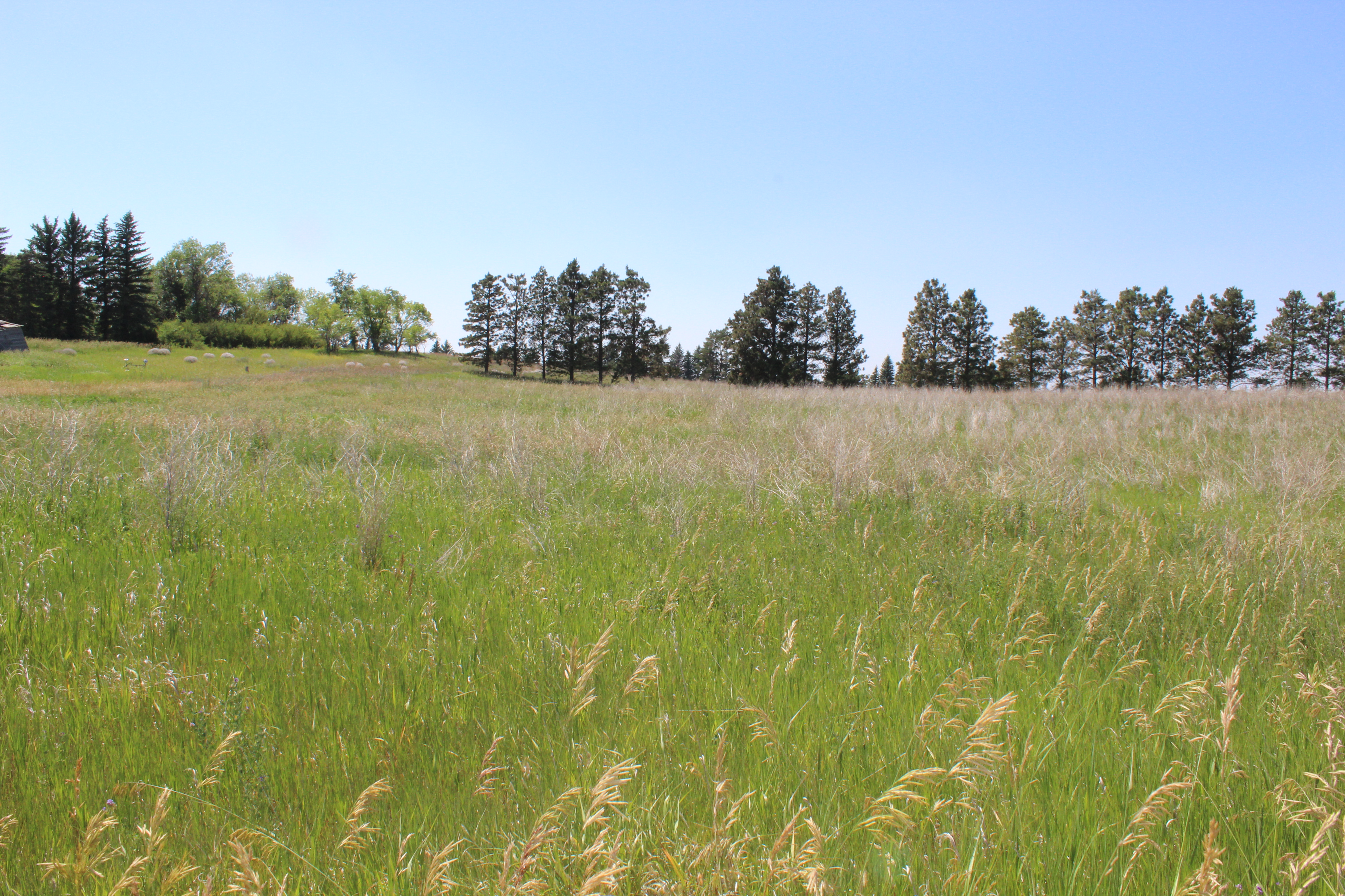
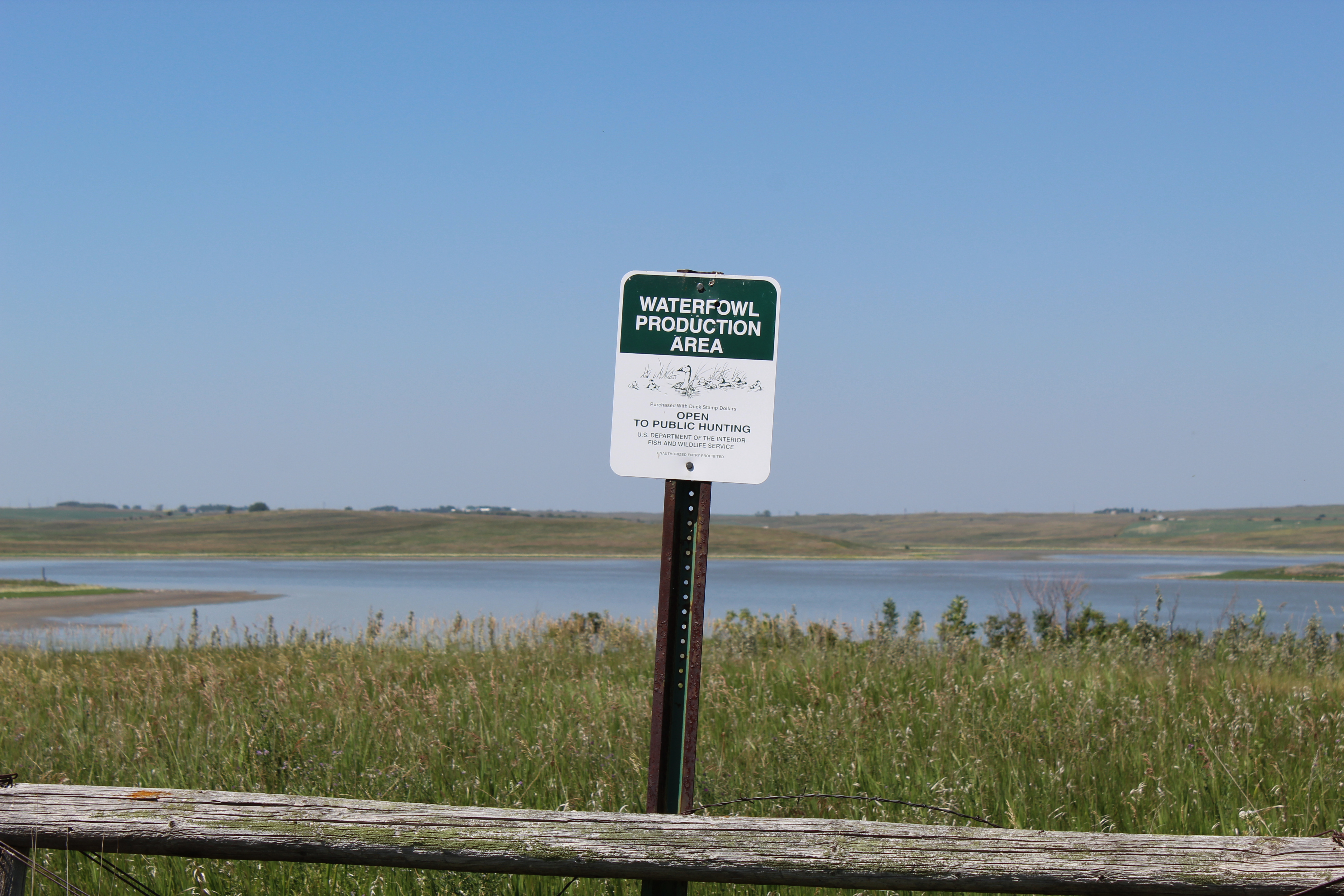
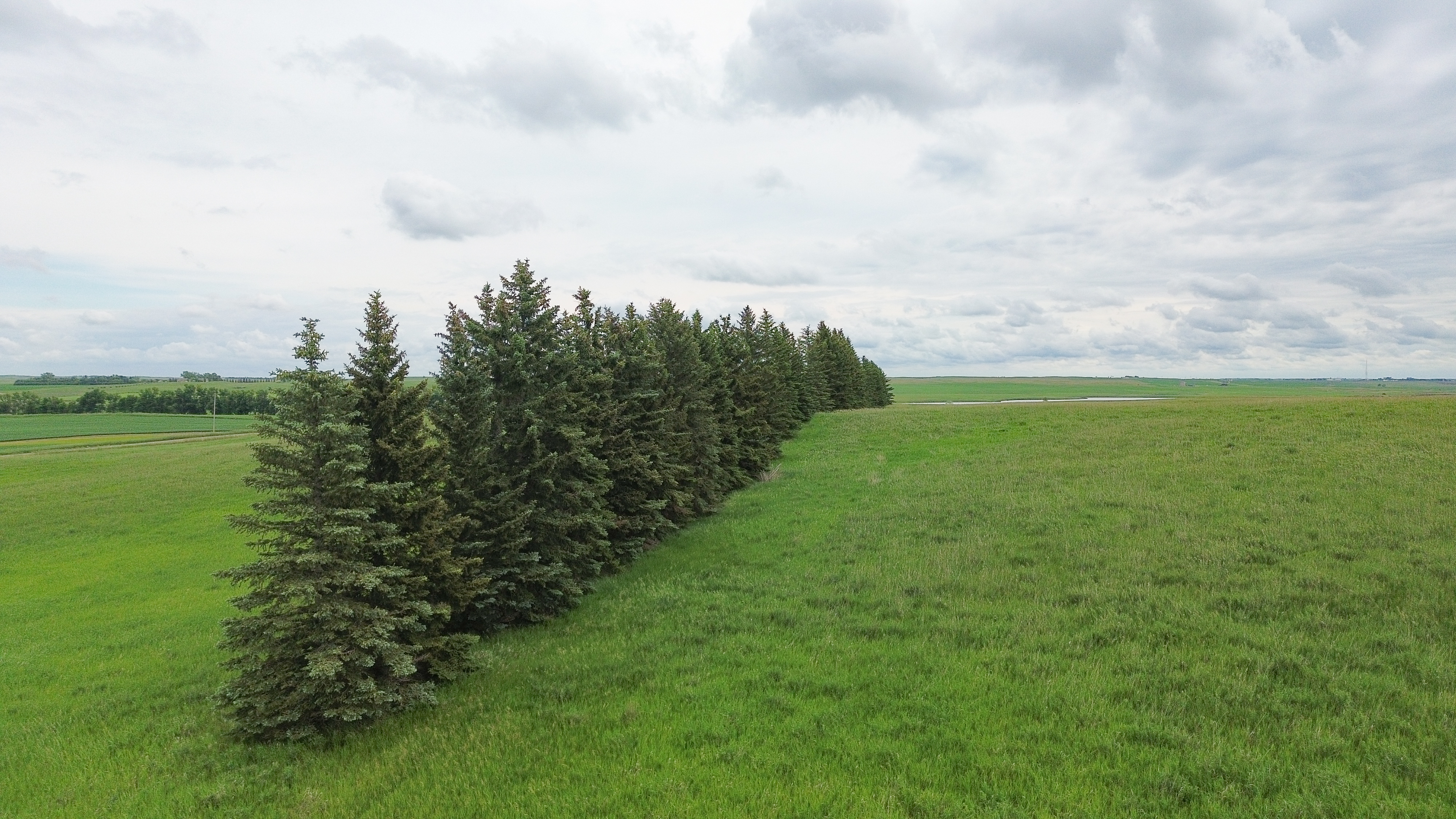
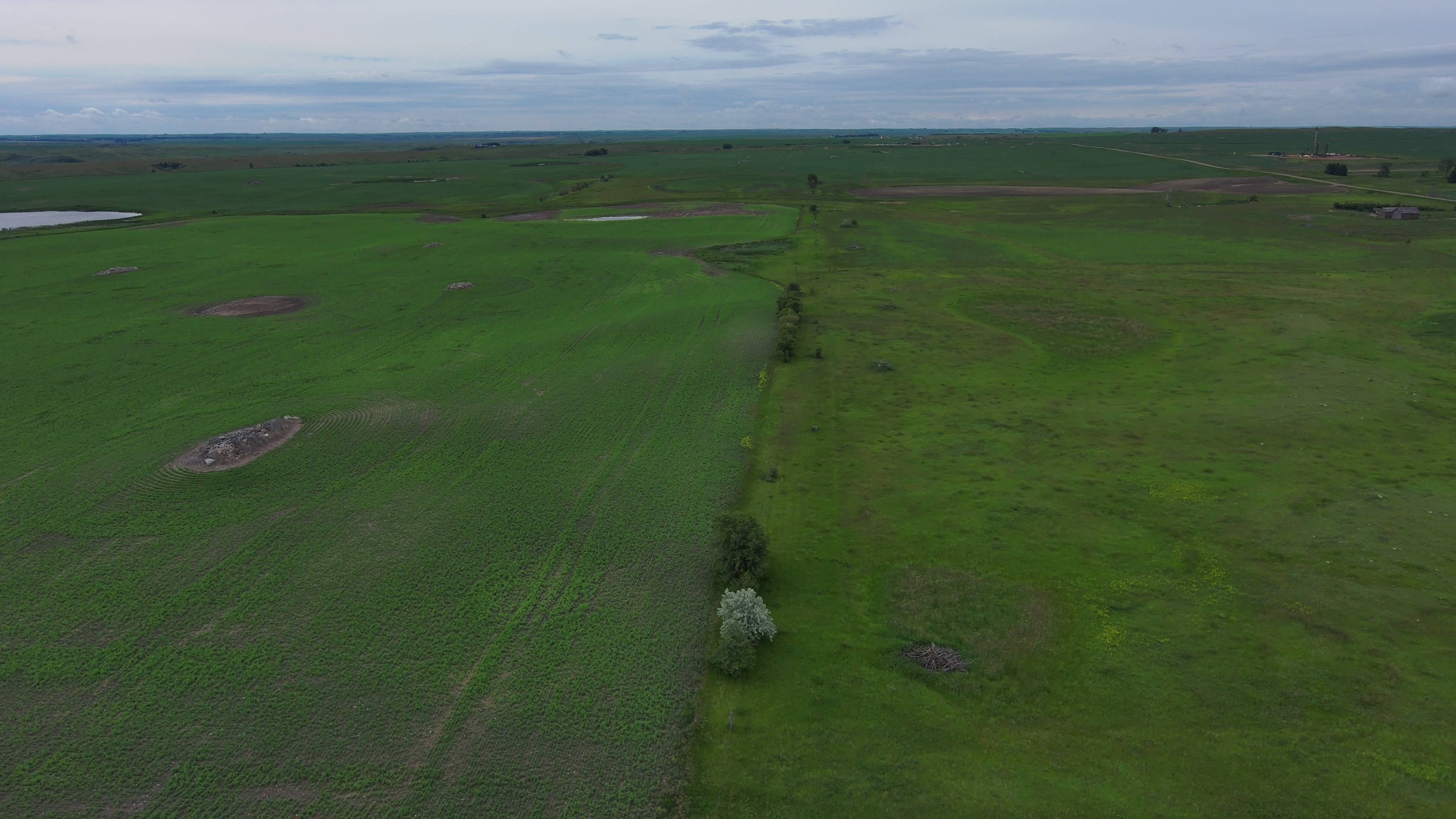
Parcel 1 consists of quality mixed grasses, good soils, a few tree rows, with a Wildfowl Production Area adjoining on the north side. This property is subject to a U.S. Fish & Wildlife (USFW) Wetland Easement along with a Pipeline Easement.


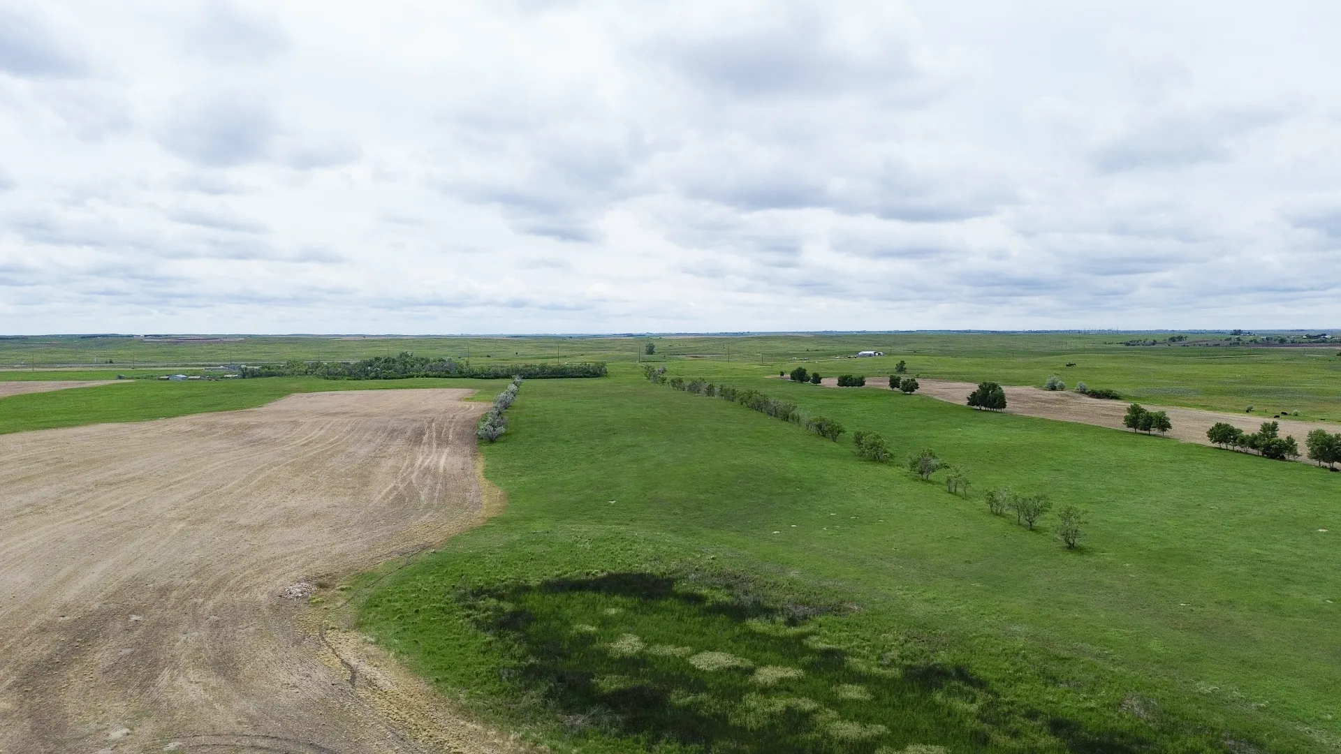
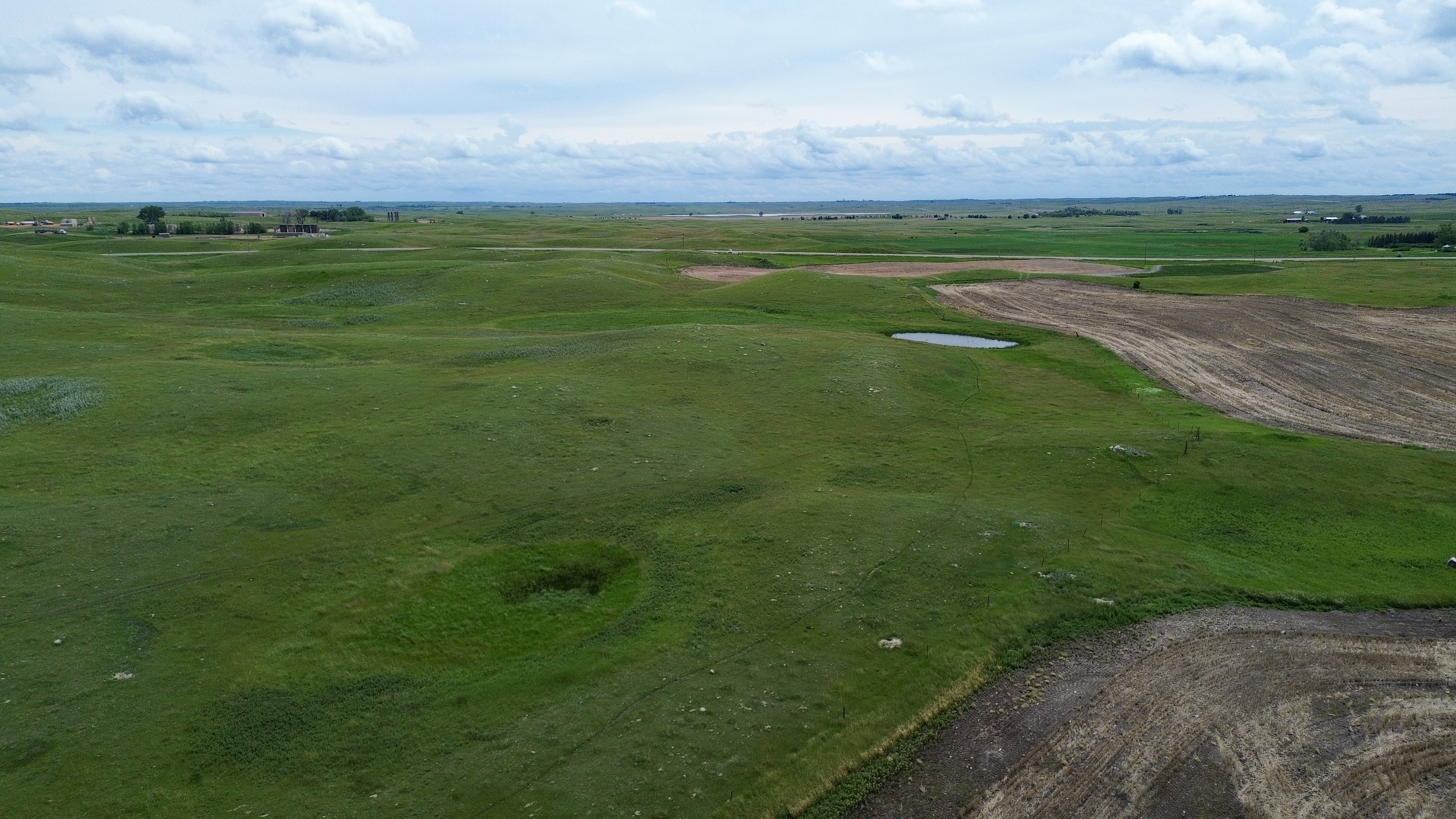
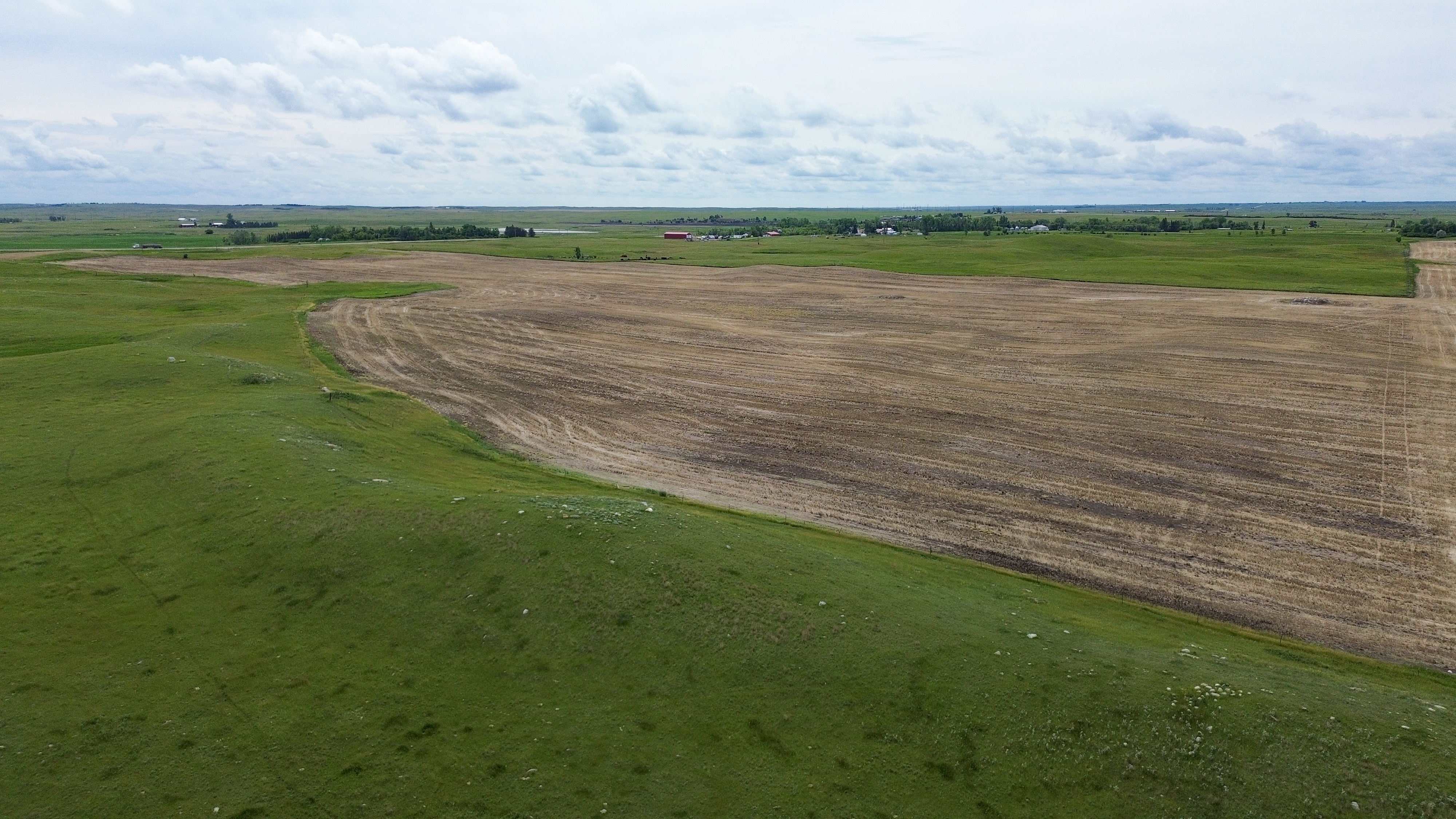
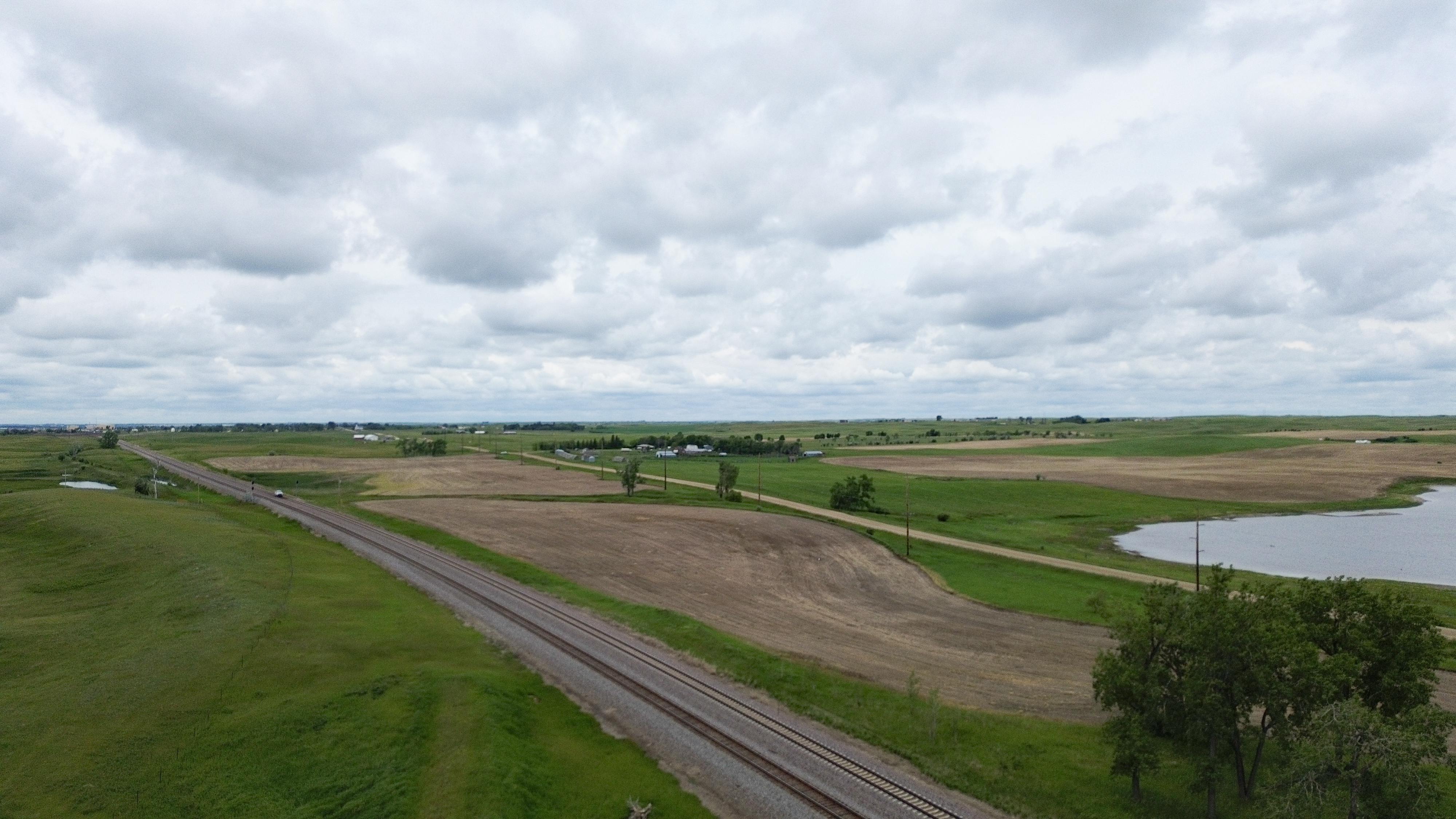
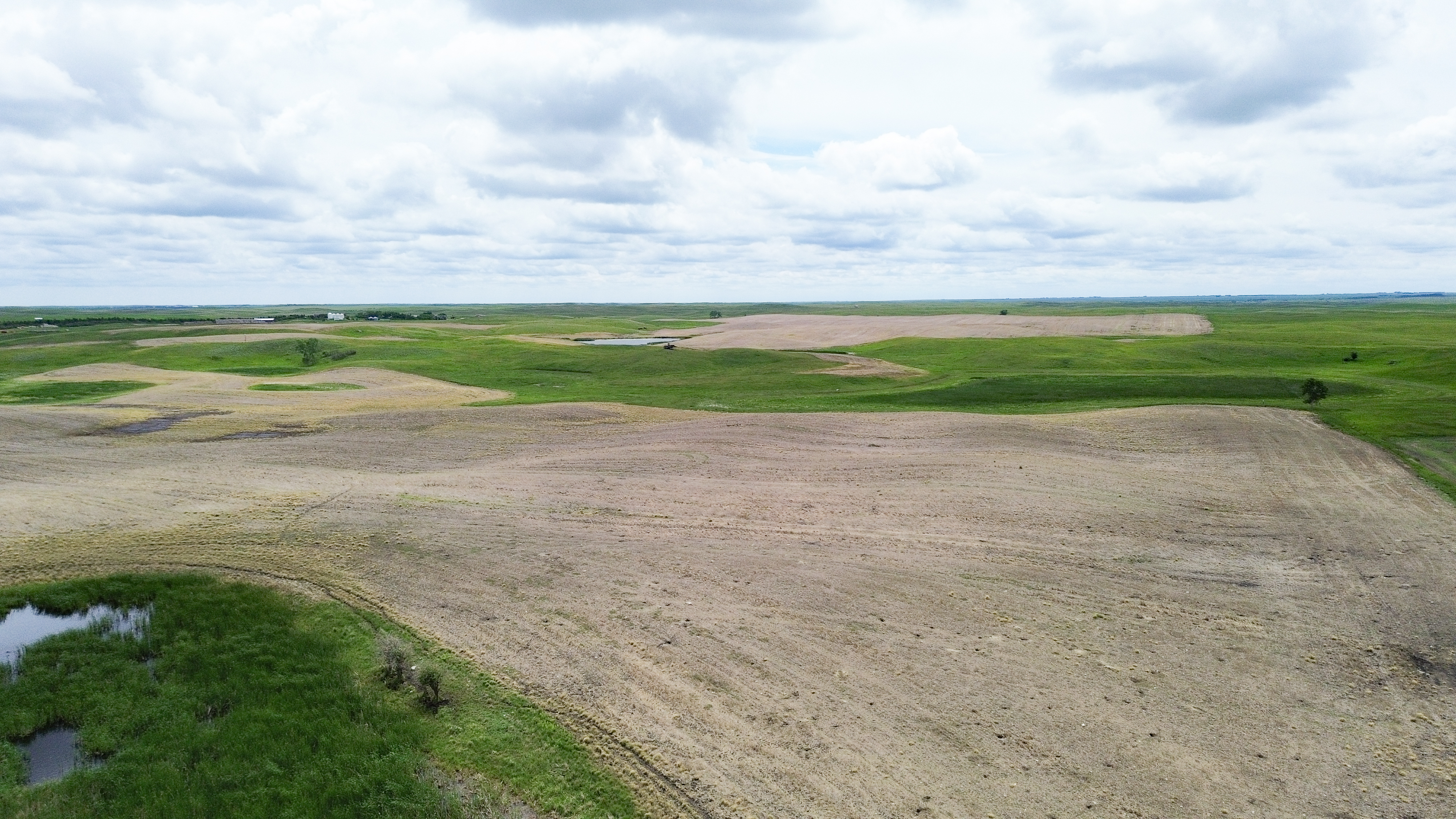
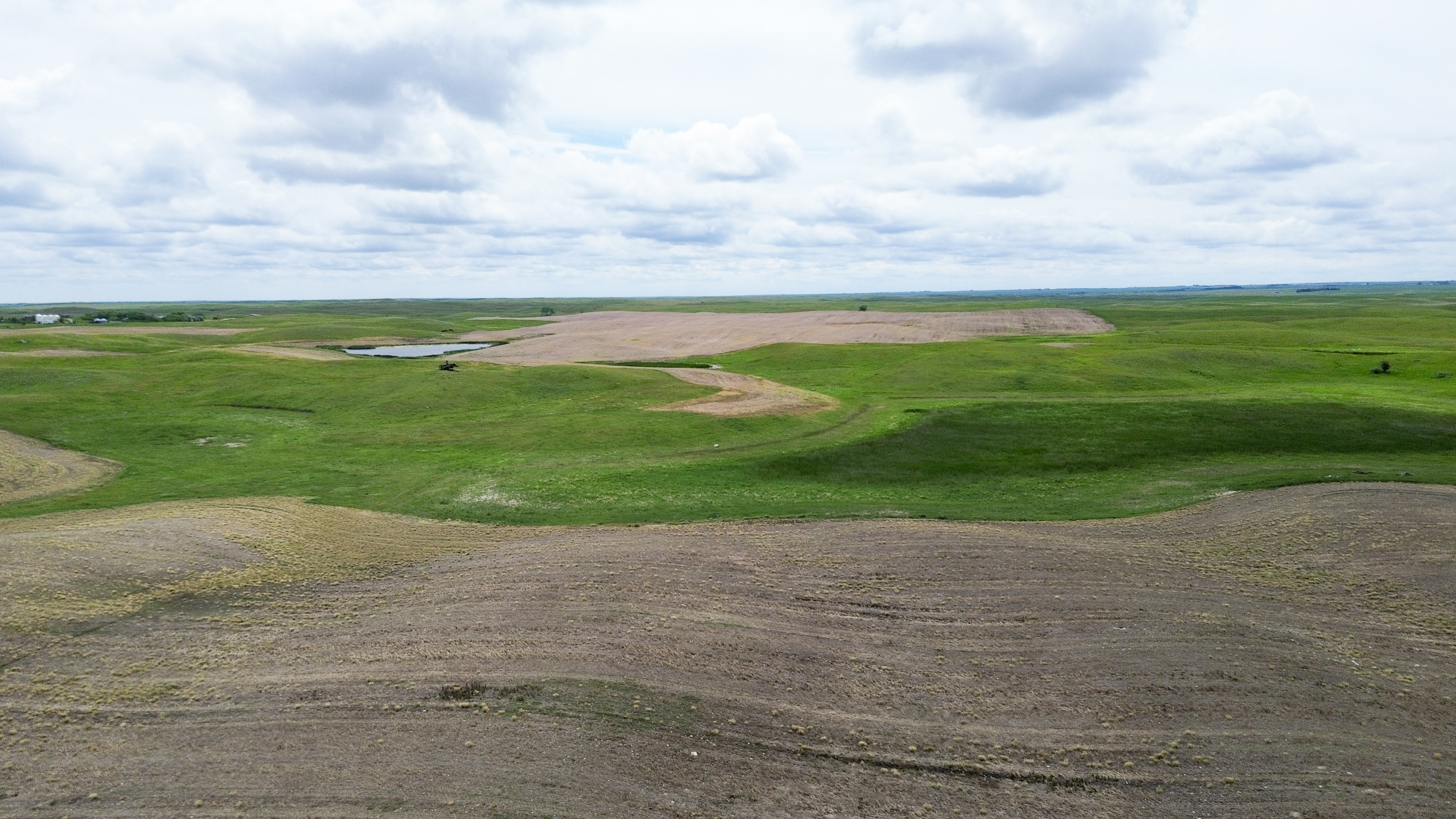
Parcel 2 • Mountrail County, ND
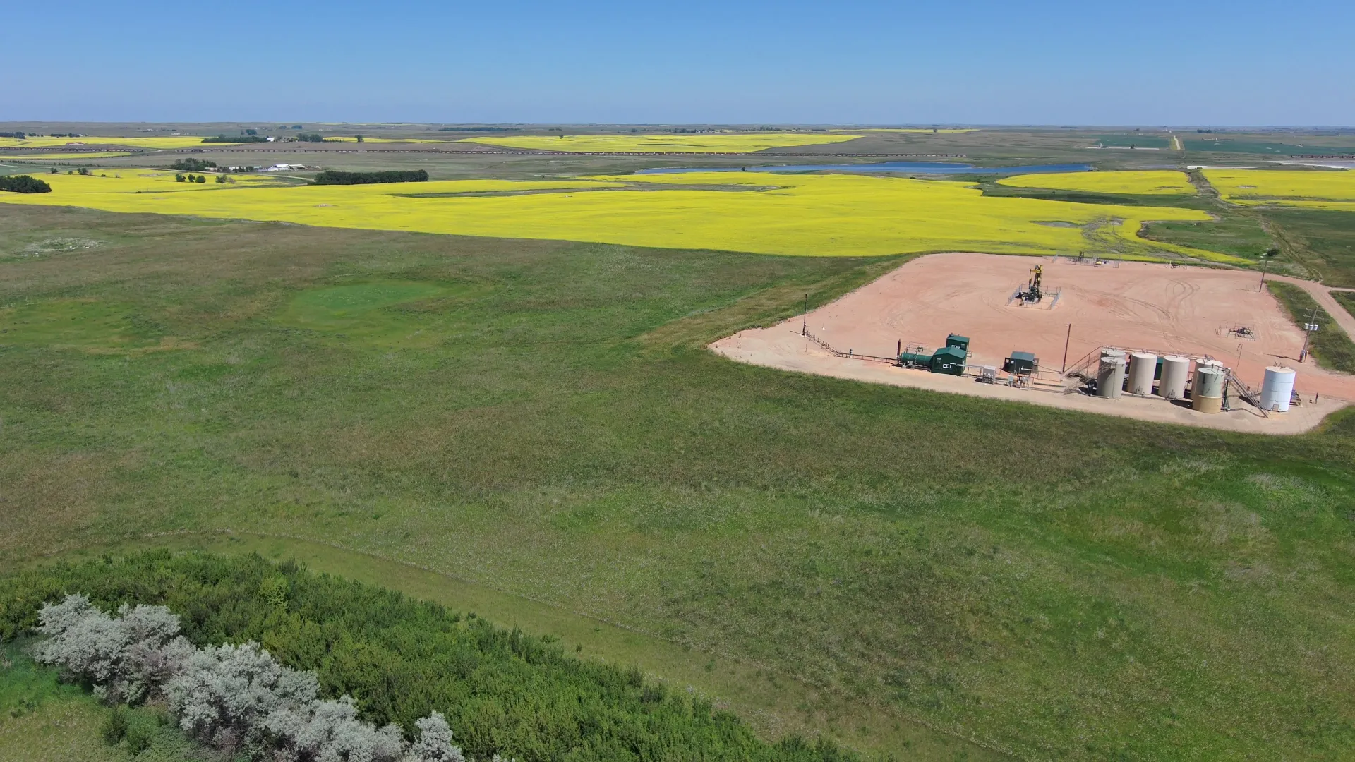
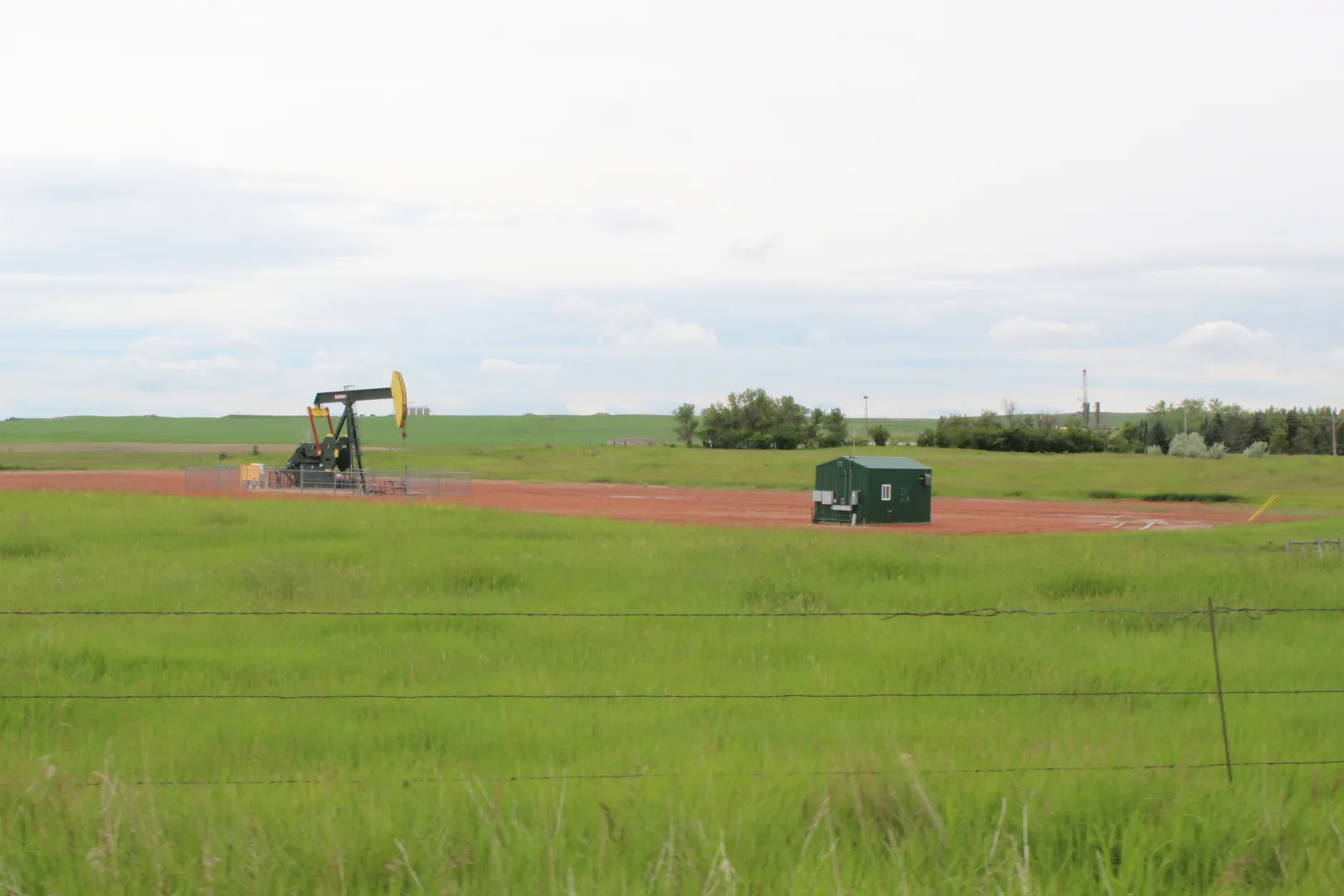
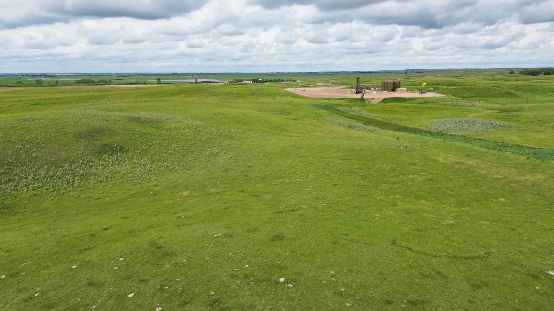
Parcel 2 is similar in soil types and quality mixed grasses to parcel 1. It has a single row tree line close to the north side. The property is subject to an active oil and gas lease, a USFW Wetland Easement, an R&T Water Supply easement, and a pipeline right-of-way.


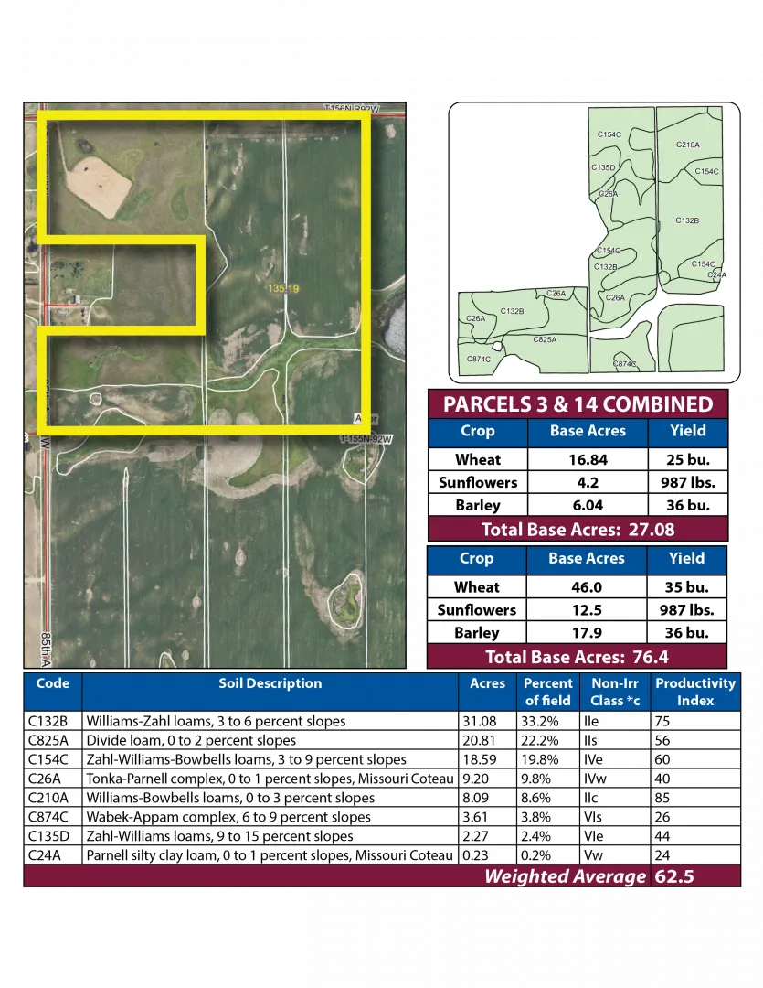
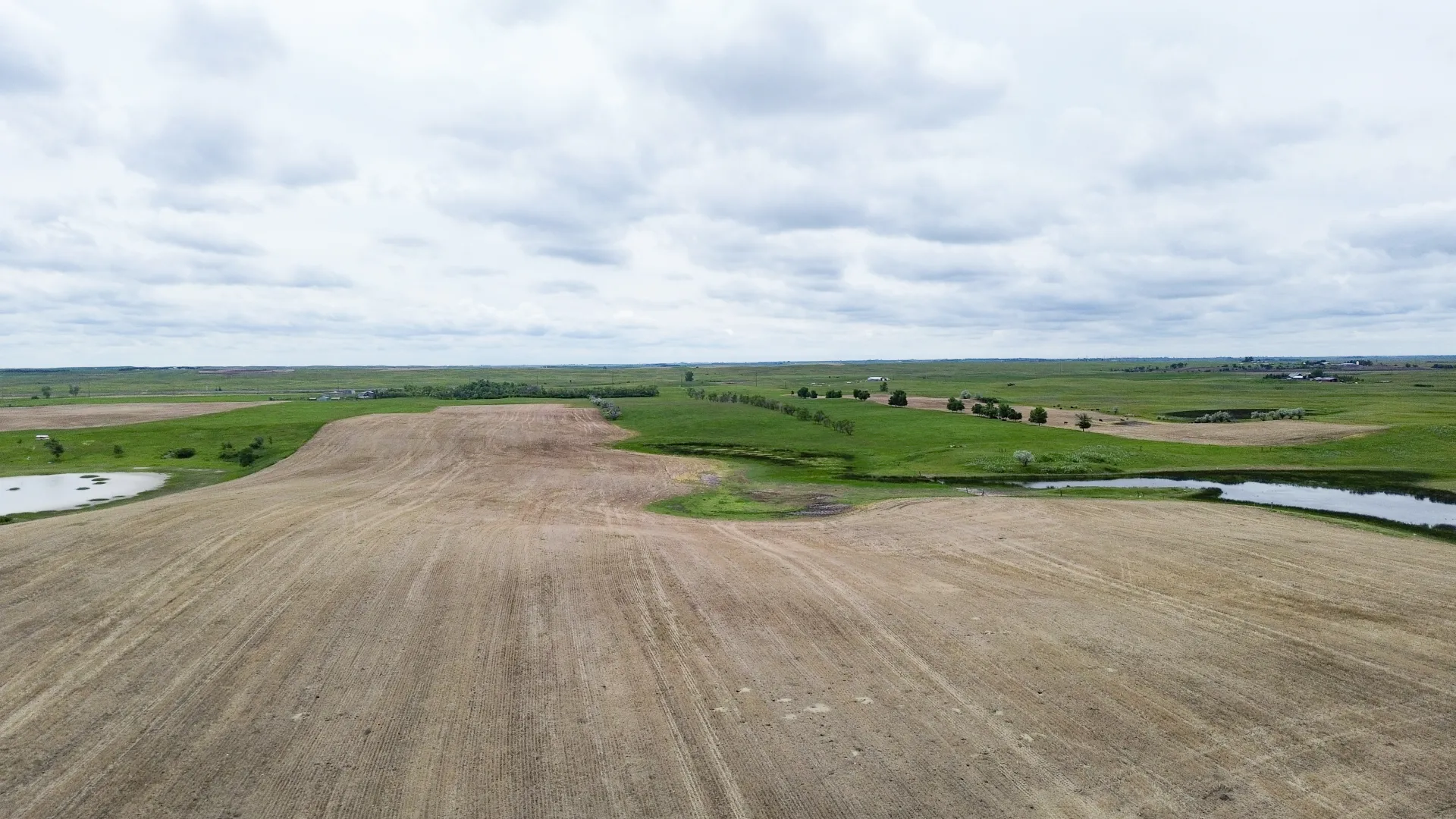
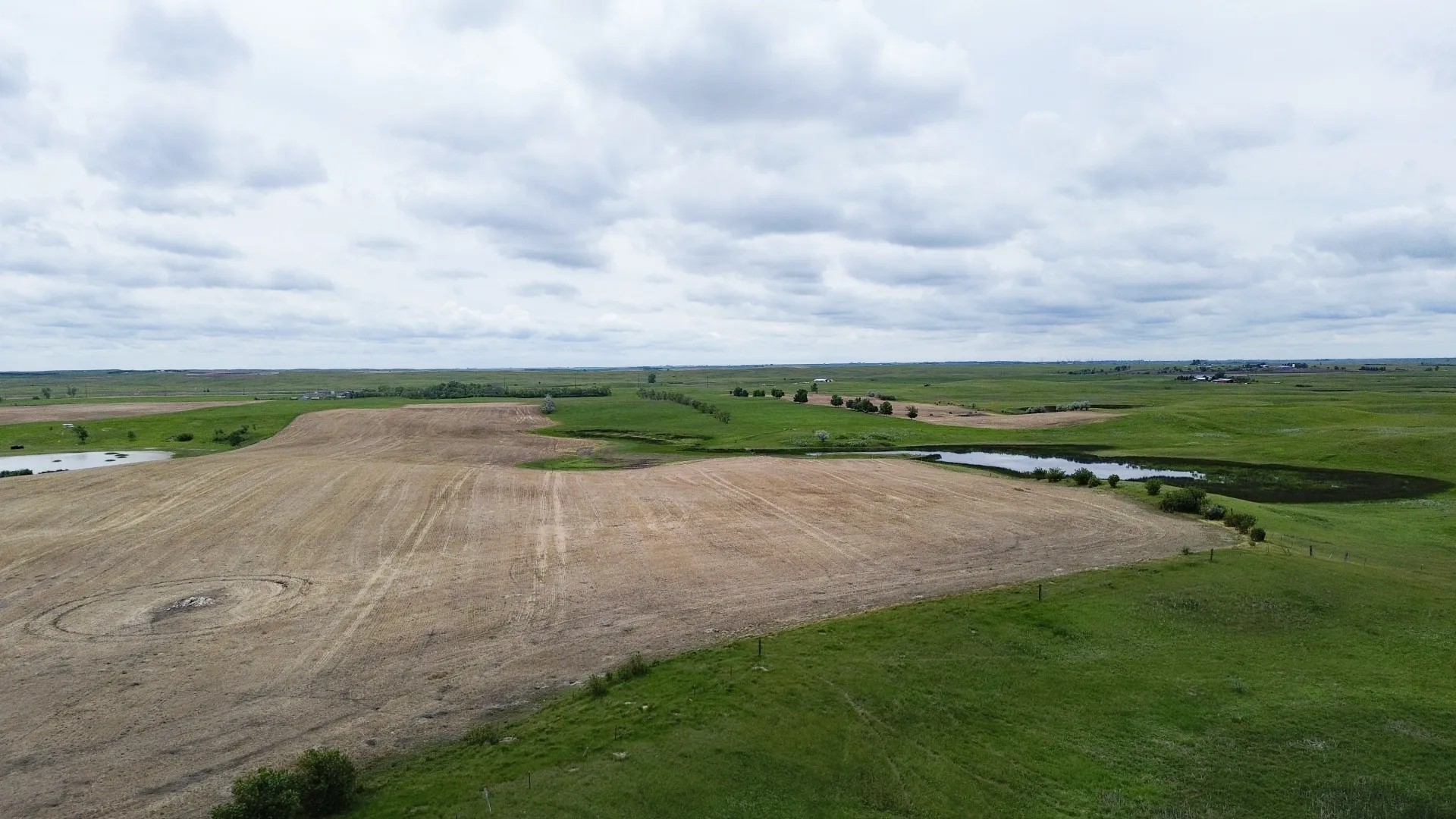
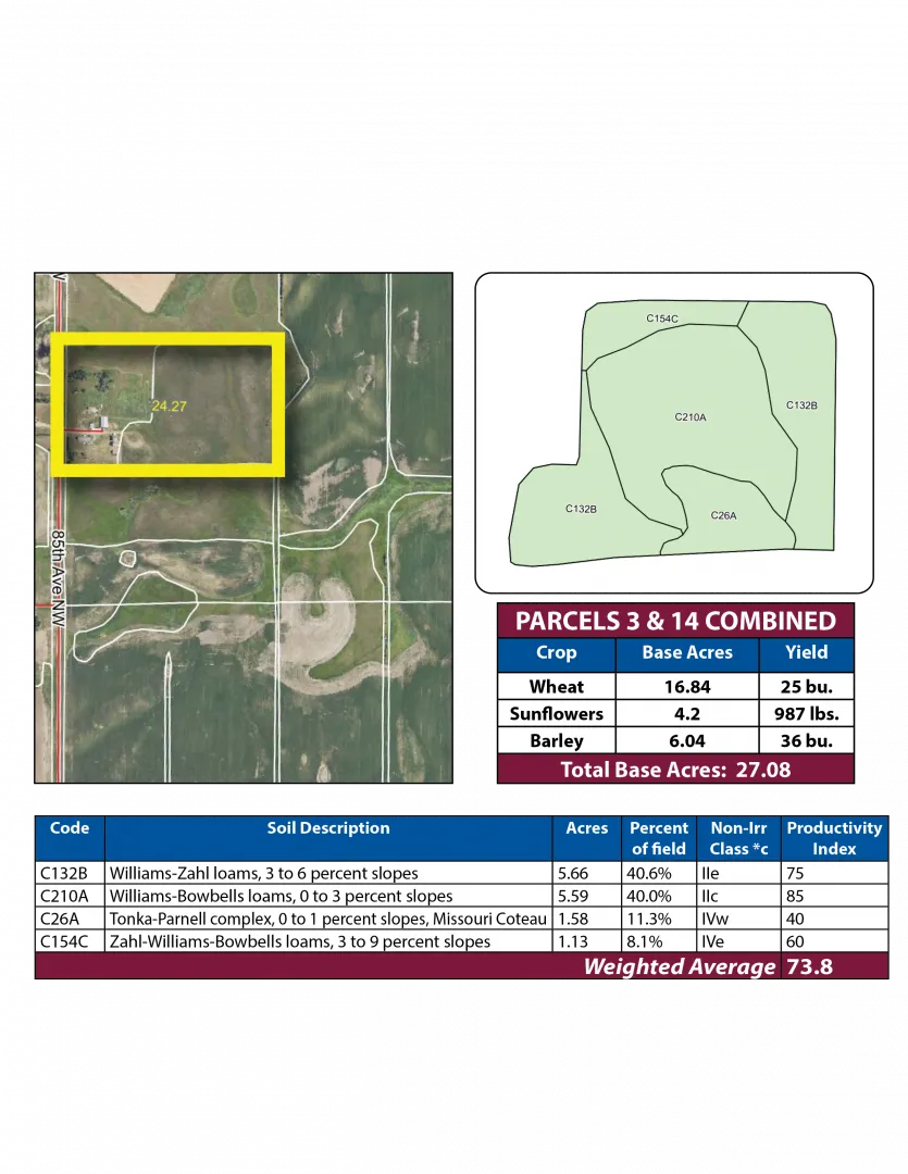
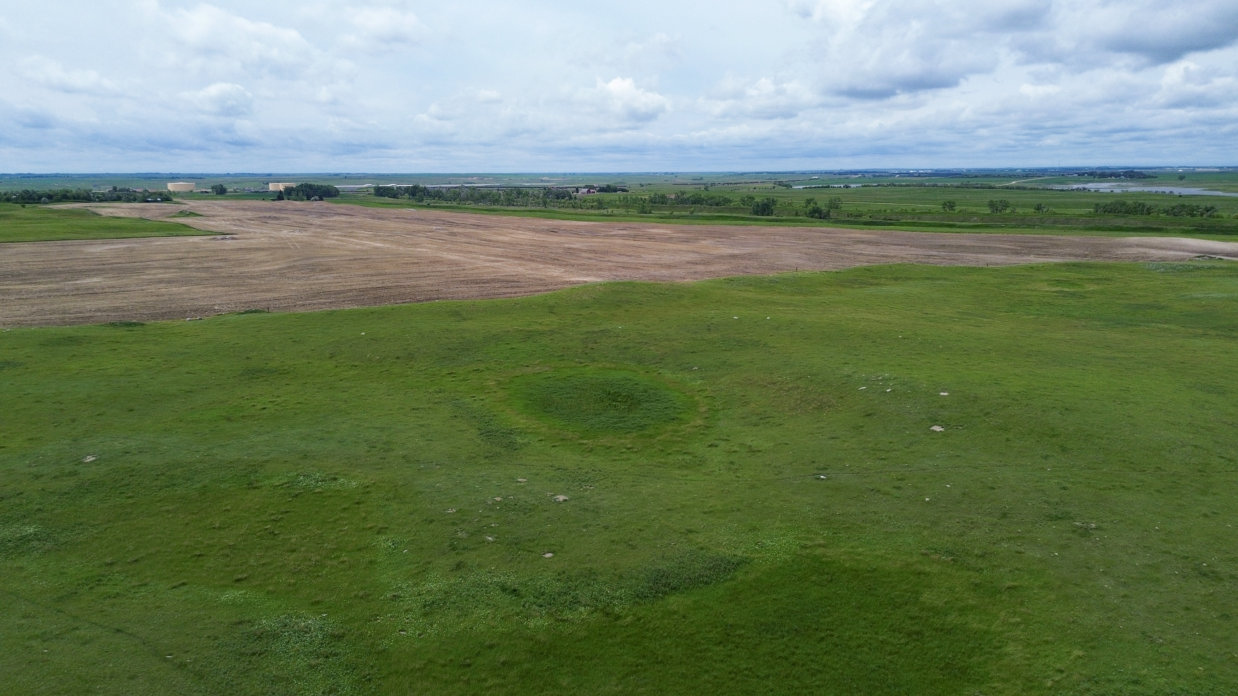
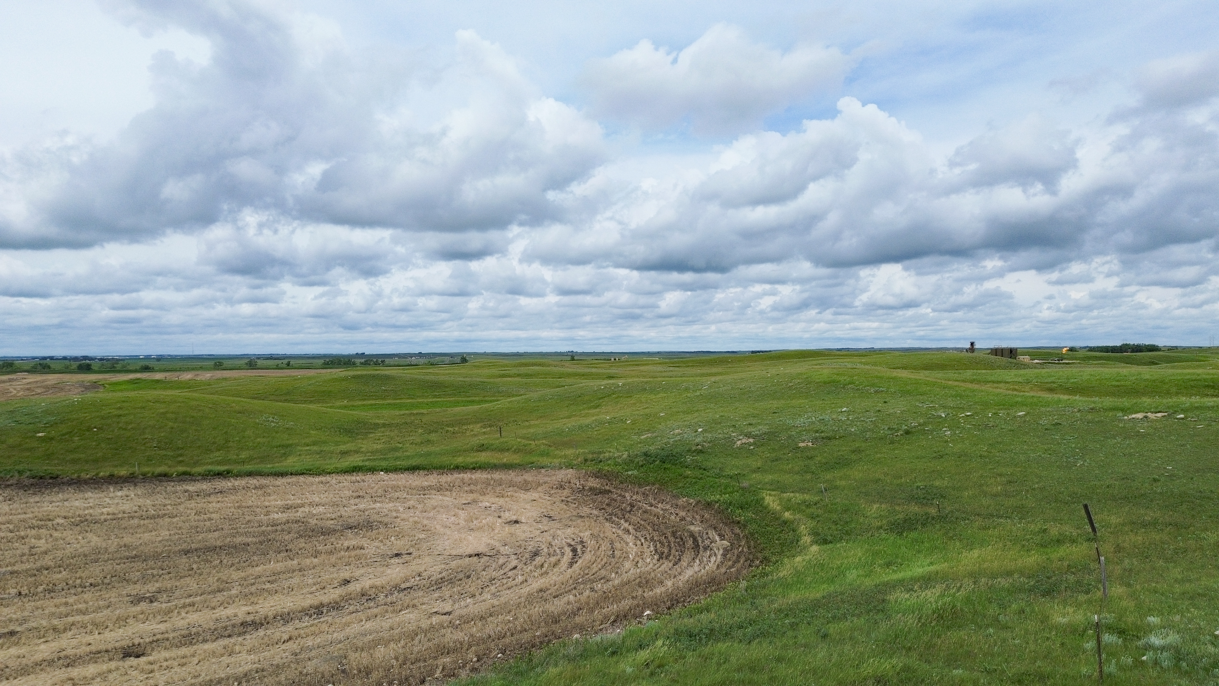
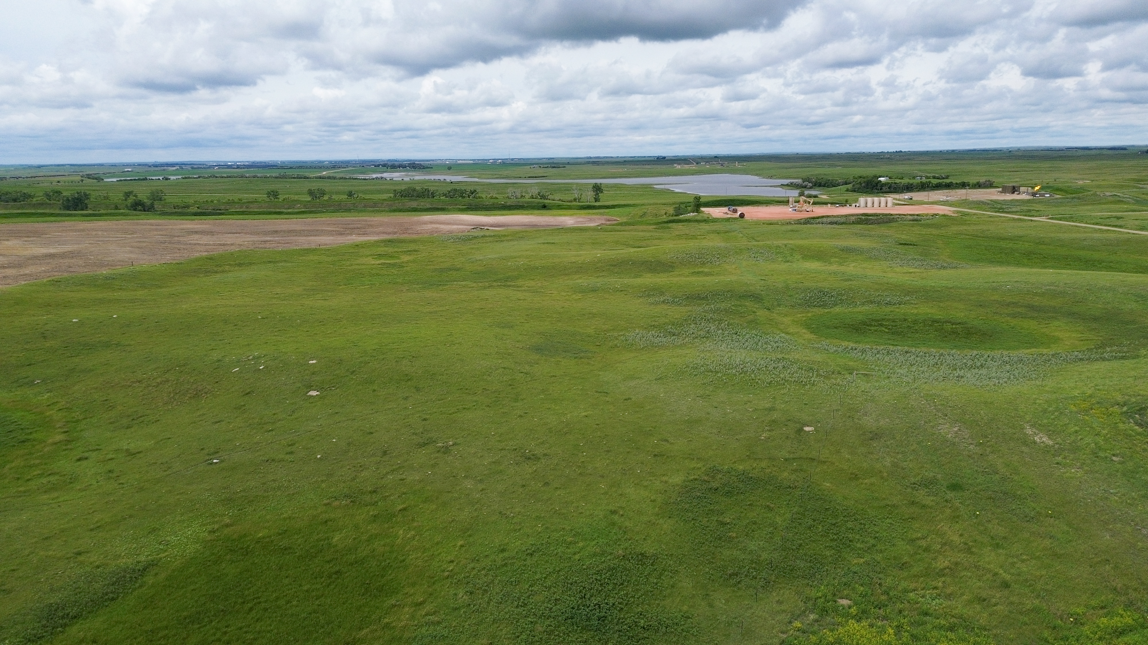
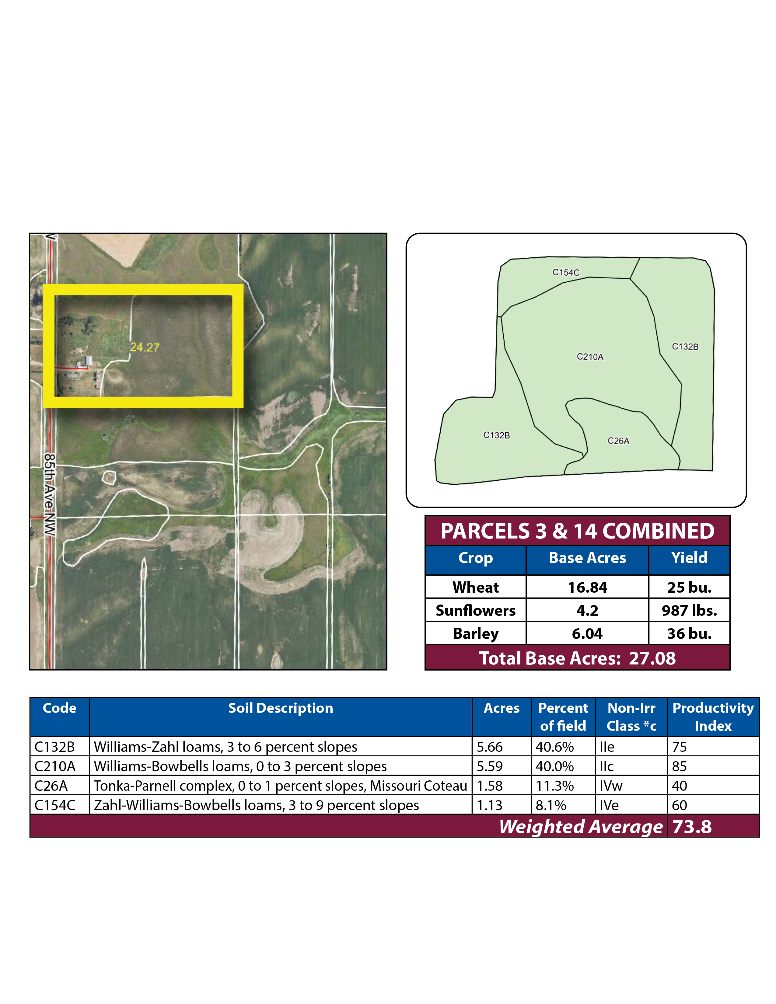
Parcel 3 • Mountrail County, ND
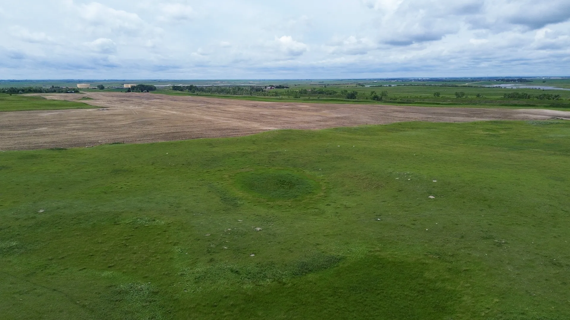
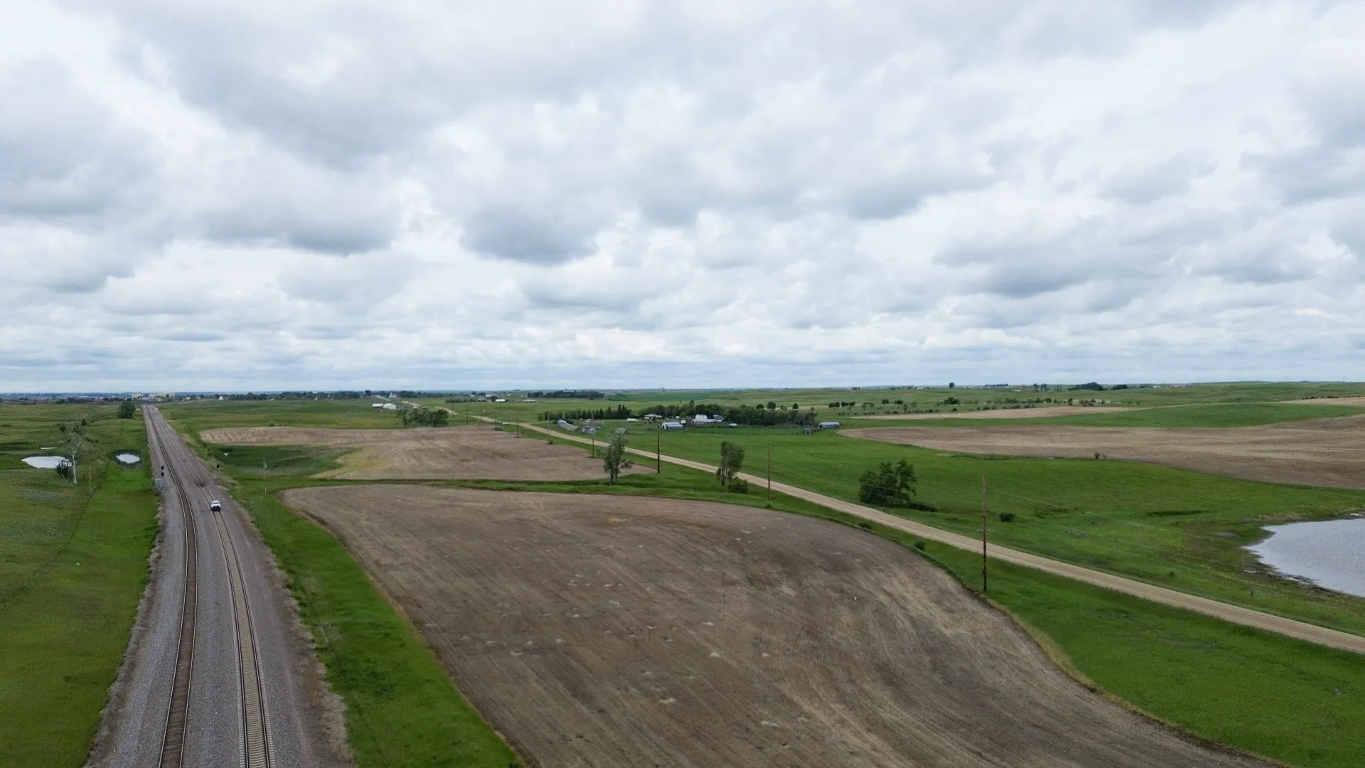
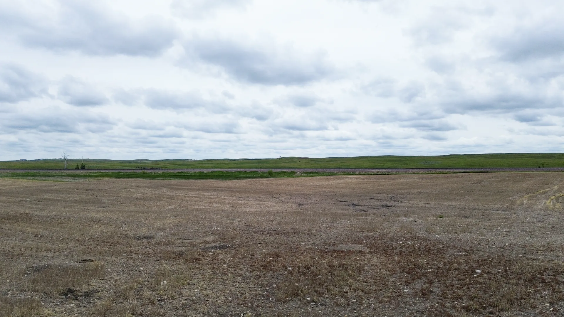
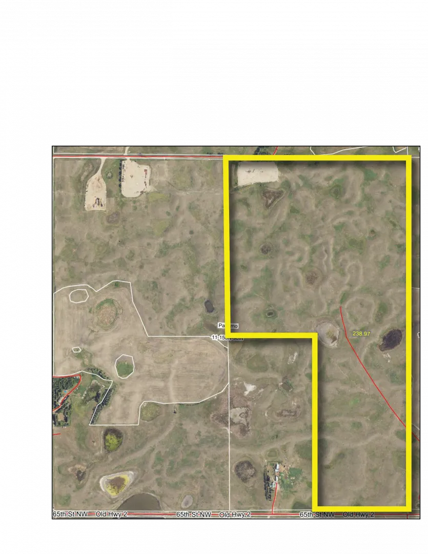
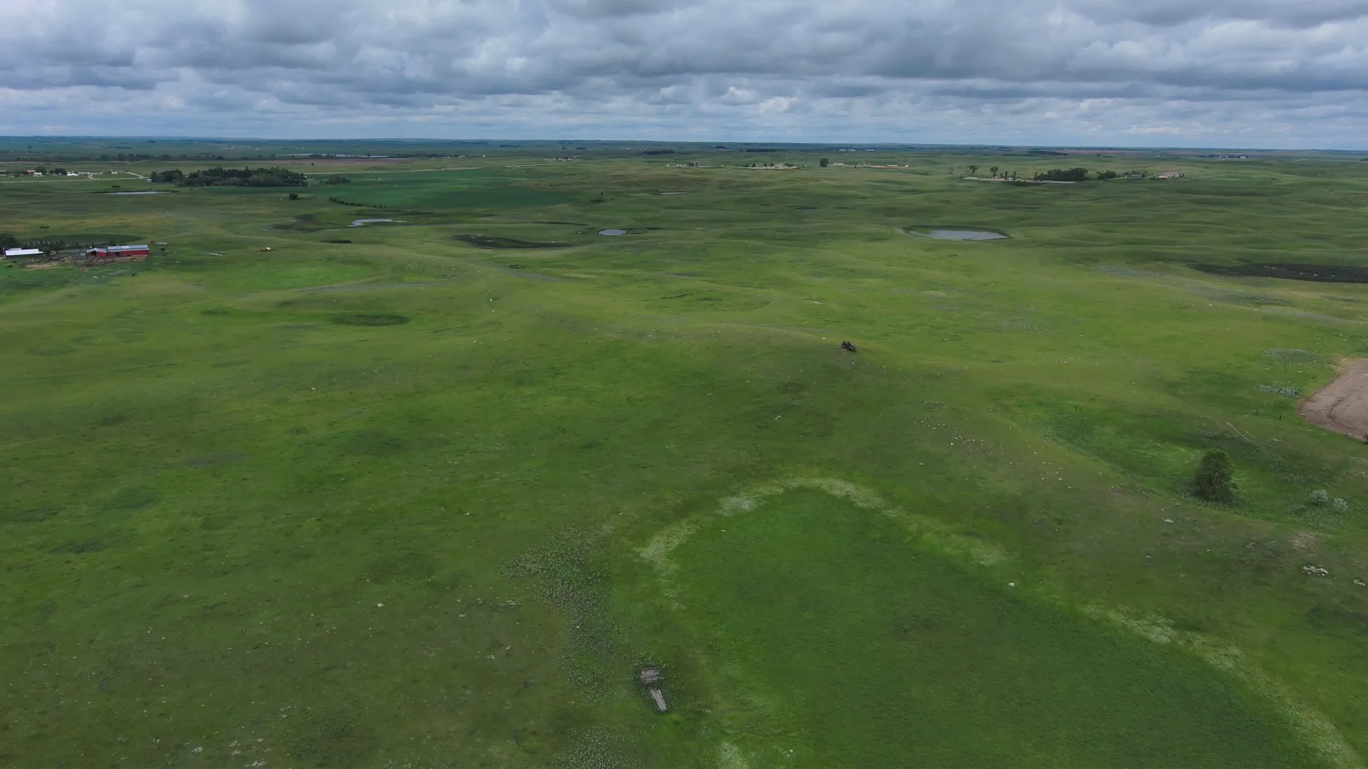
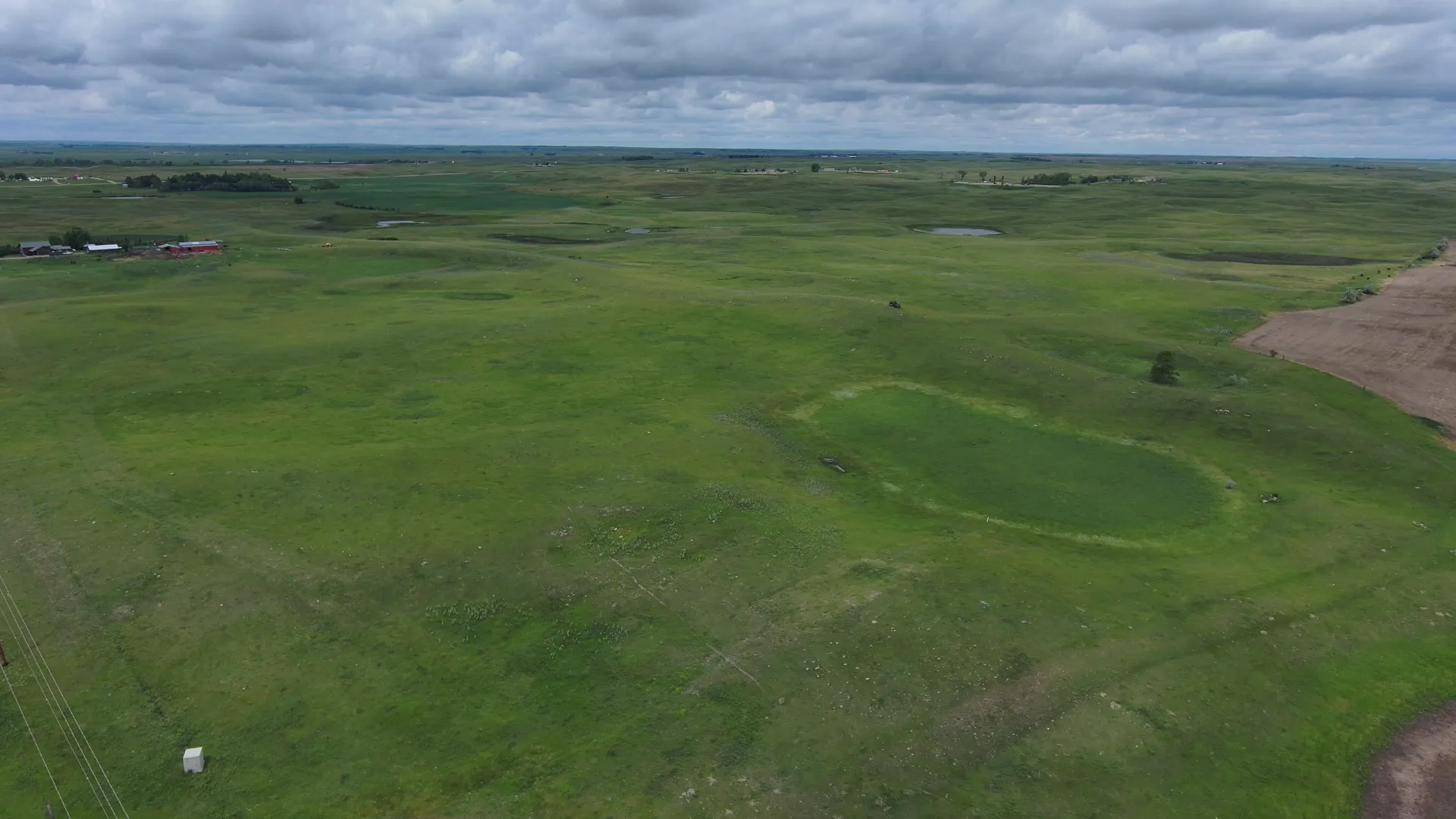
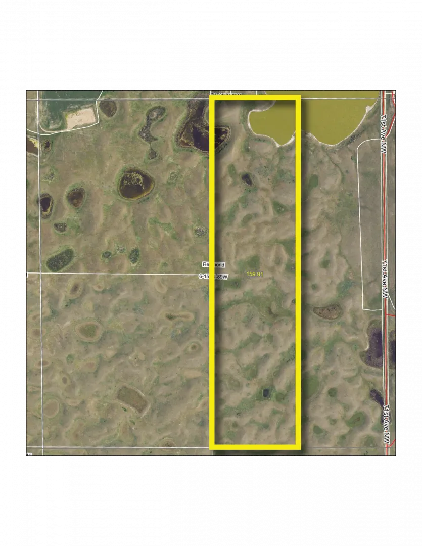
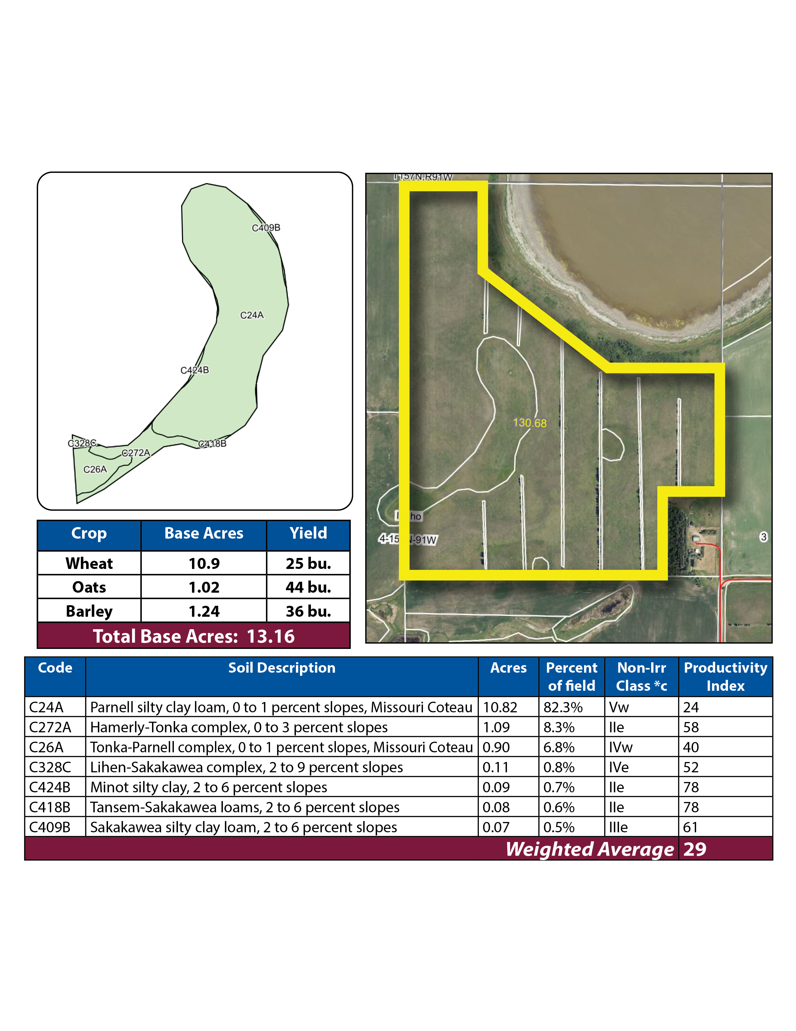
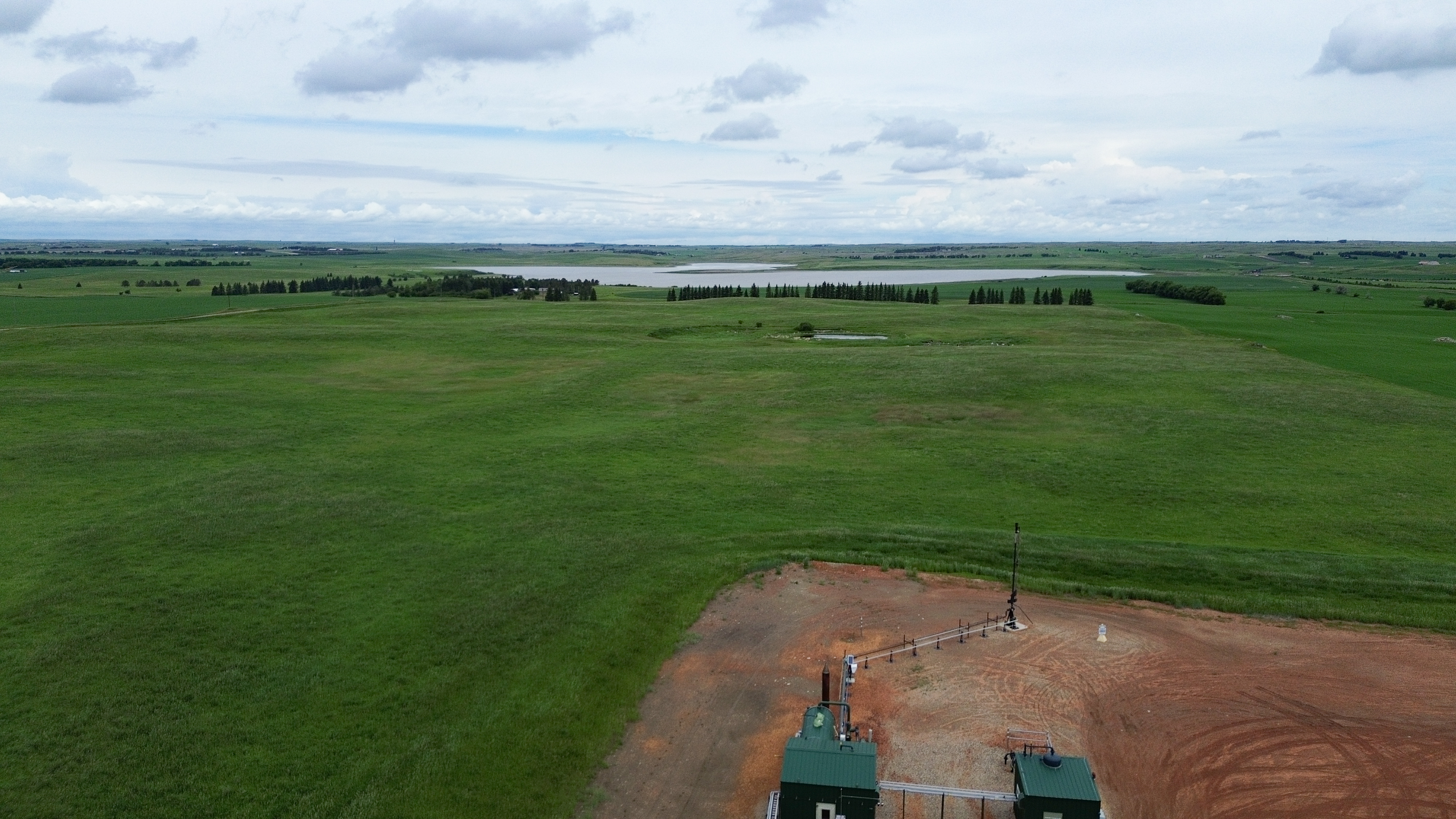
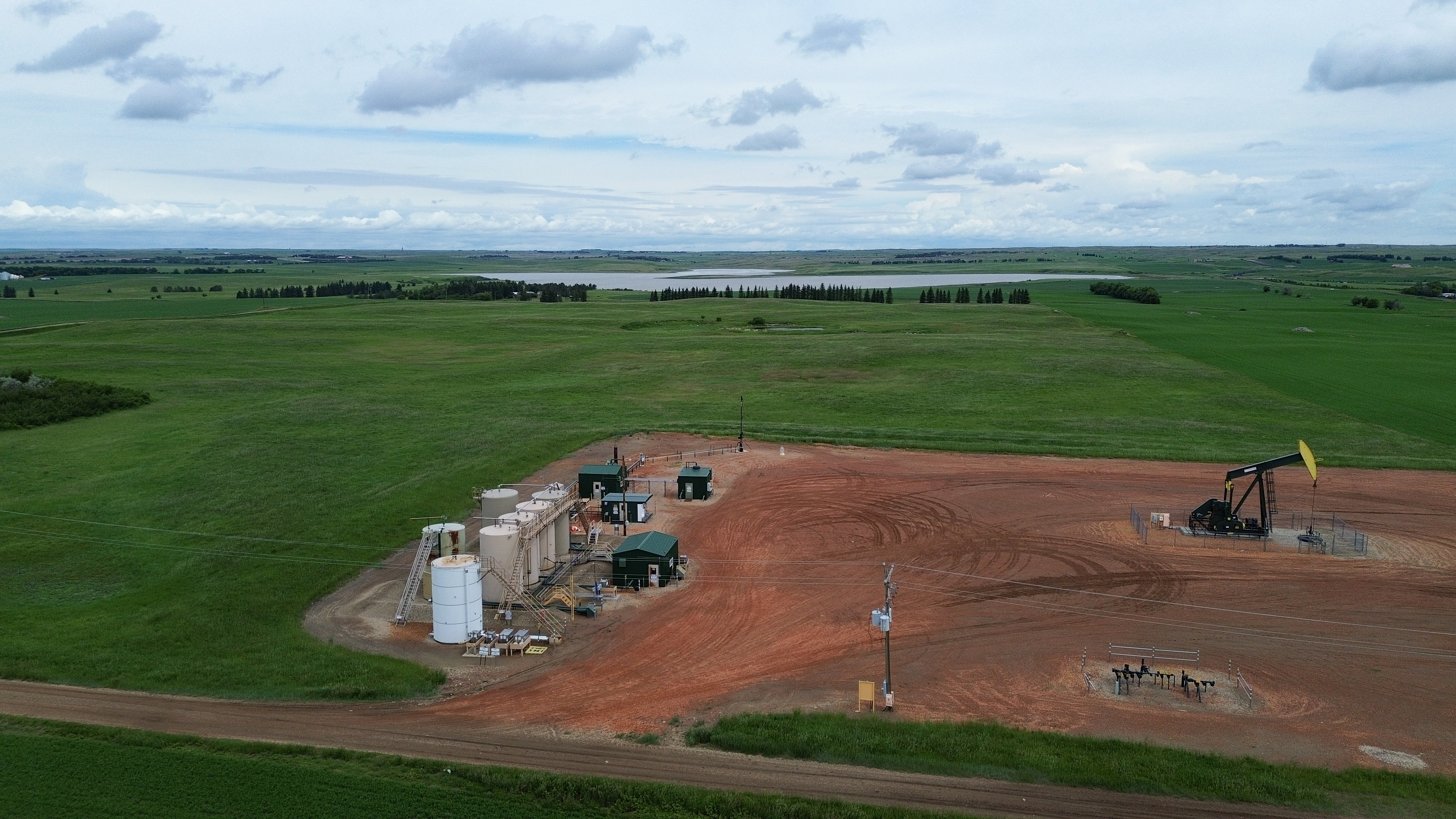
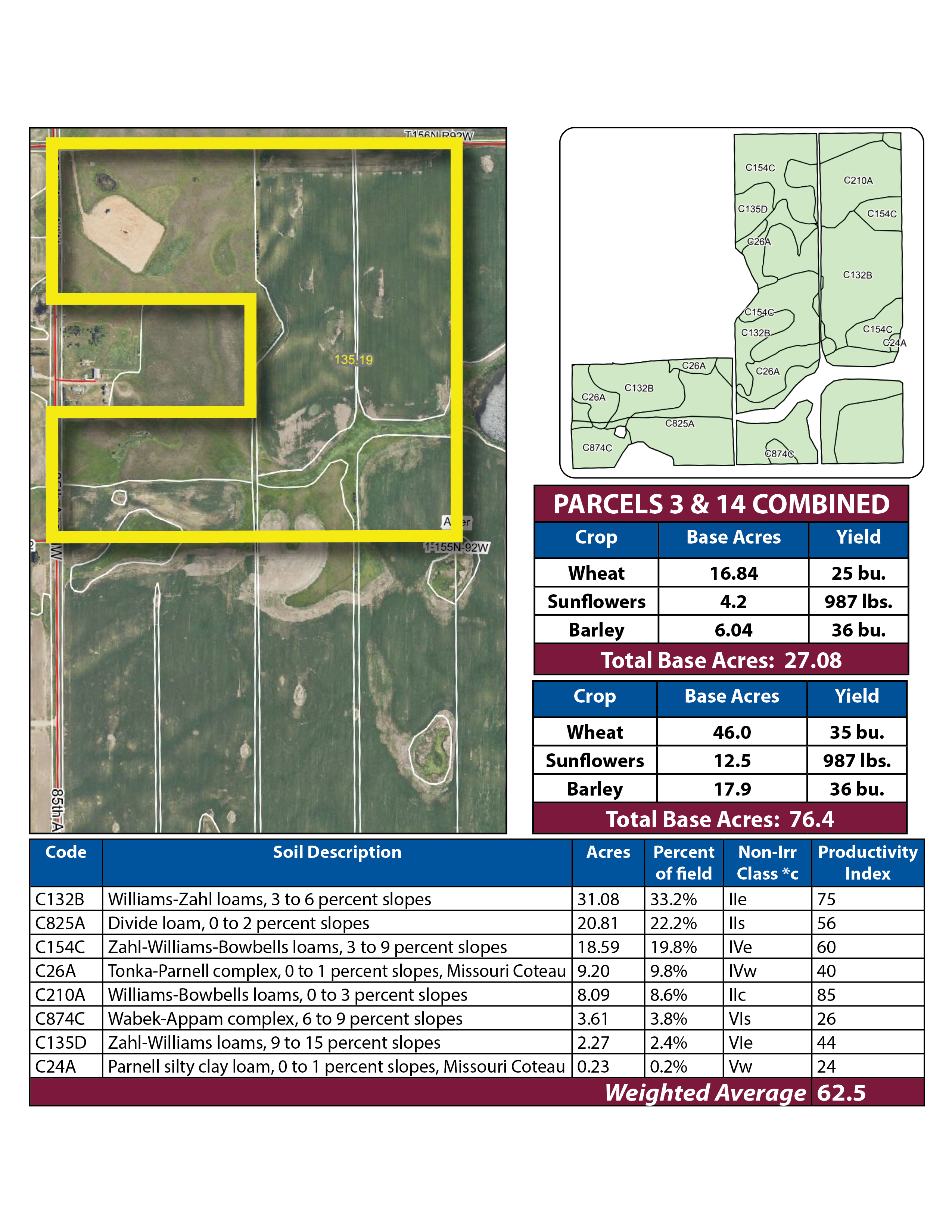
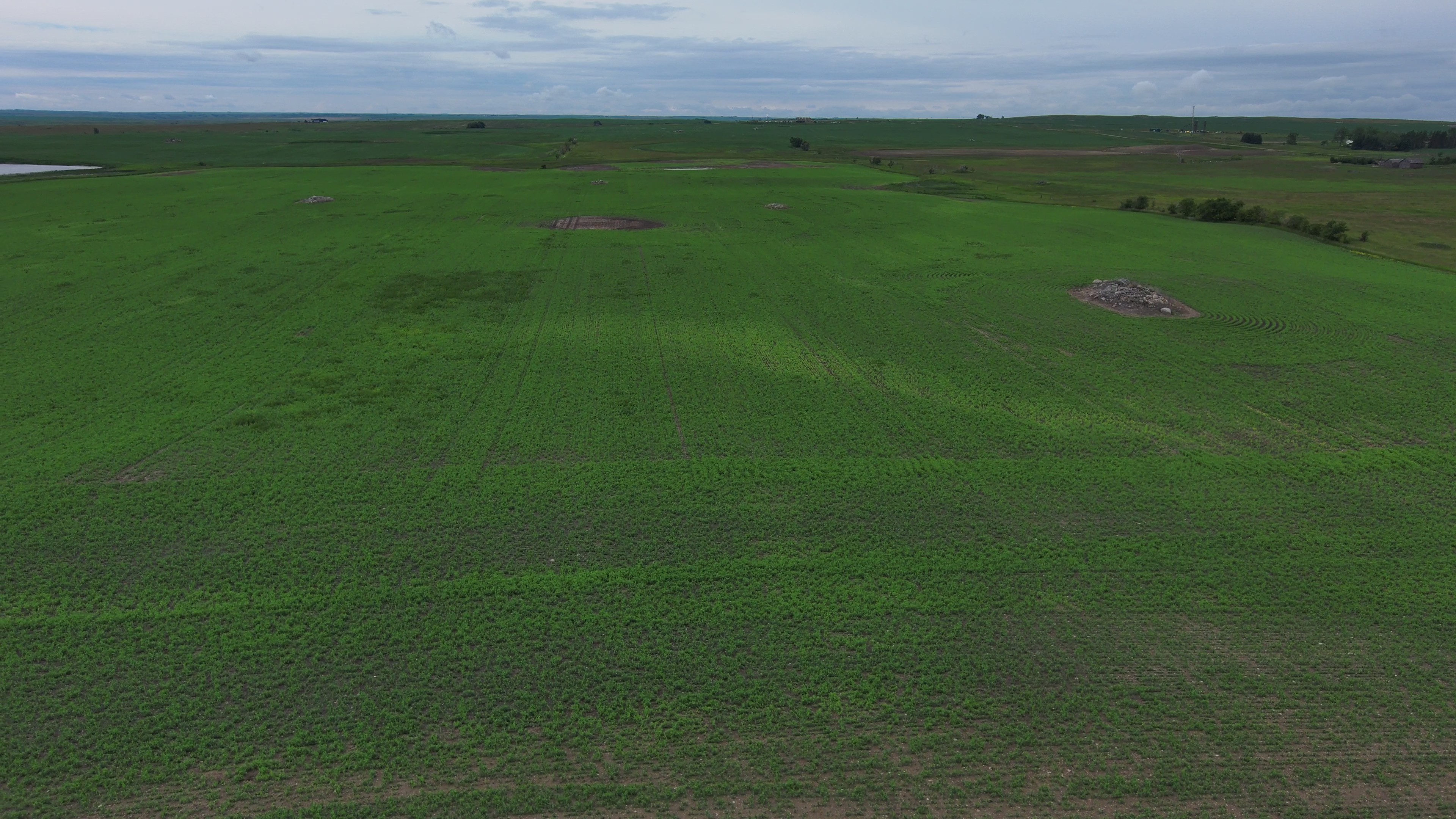
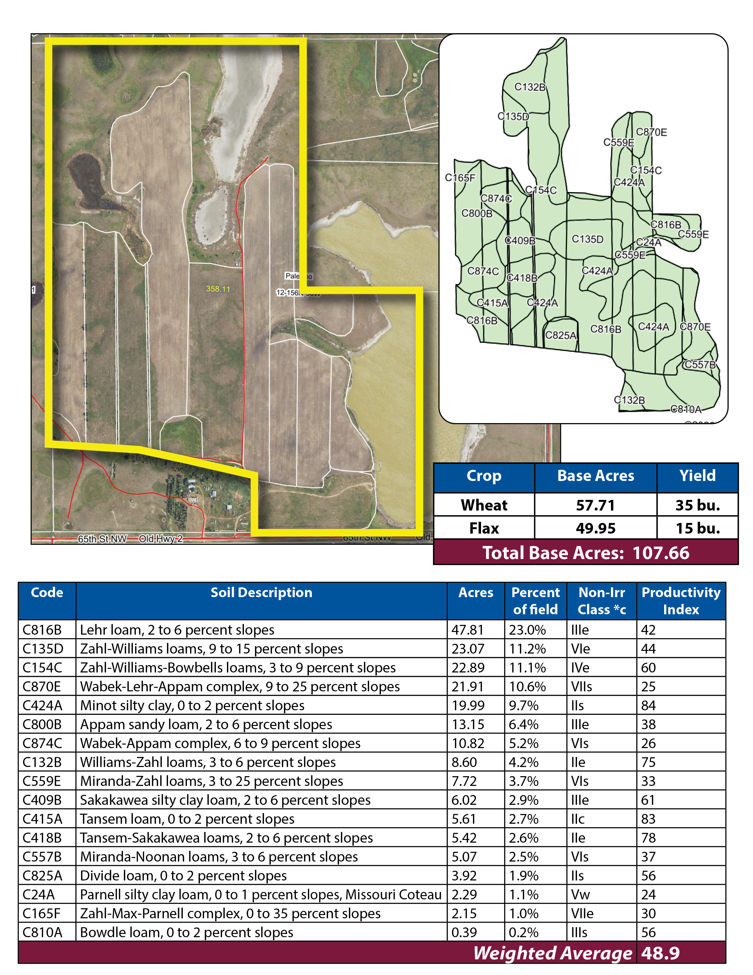
Parcel 3 is a mixed quarter with mainly quality cropland and some pasture and habitat land. There is a farmstead located in the west central part of the quarter, that will be sold separately as parcel 14. The property is subject to an active oil and gas lease, a pipeline right-of-way, and an R&T Water Supply easement. A USFW Wetland Easement affects the northwest corner of the property.


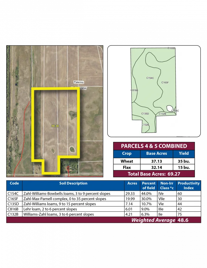
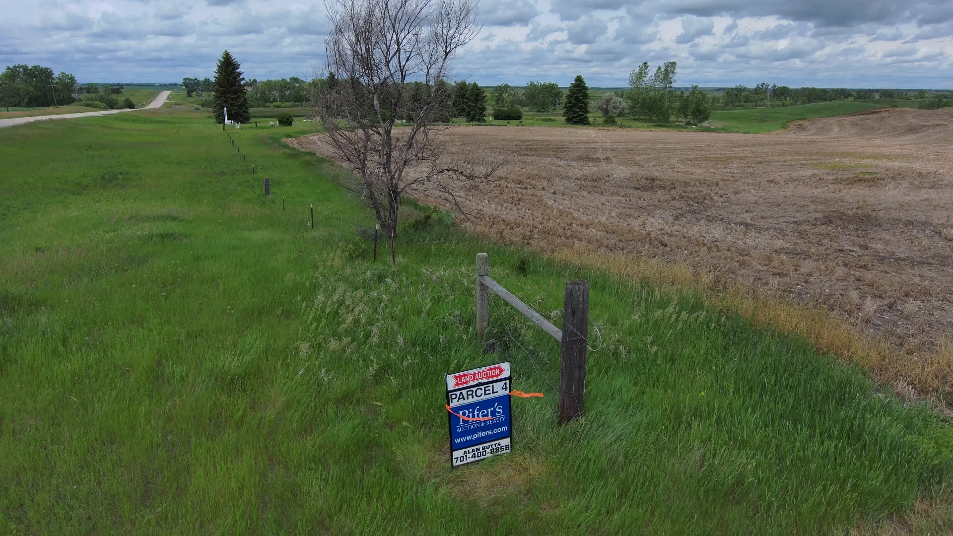
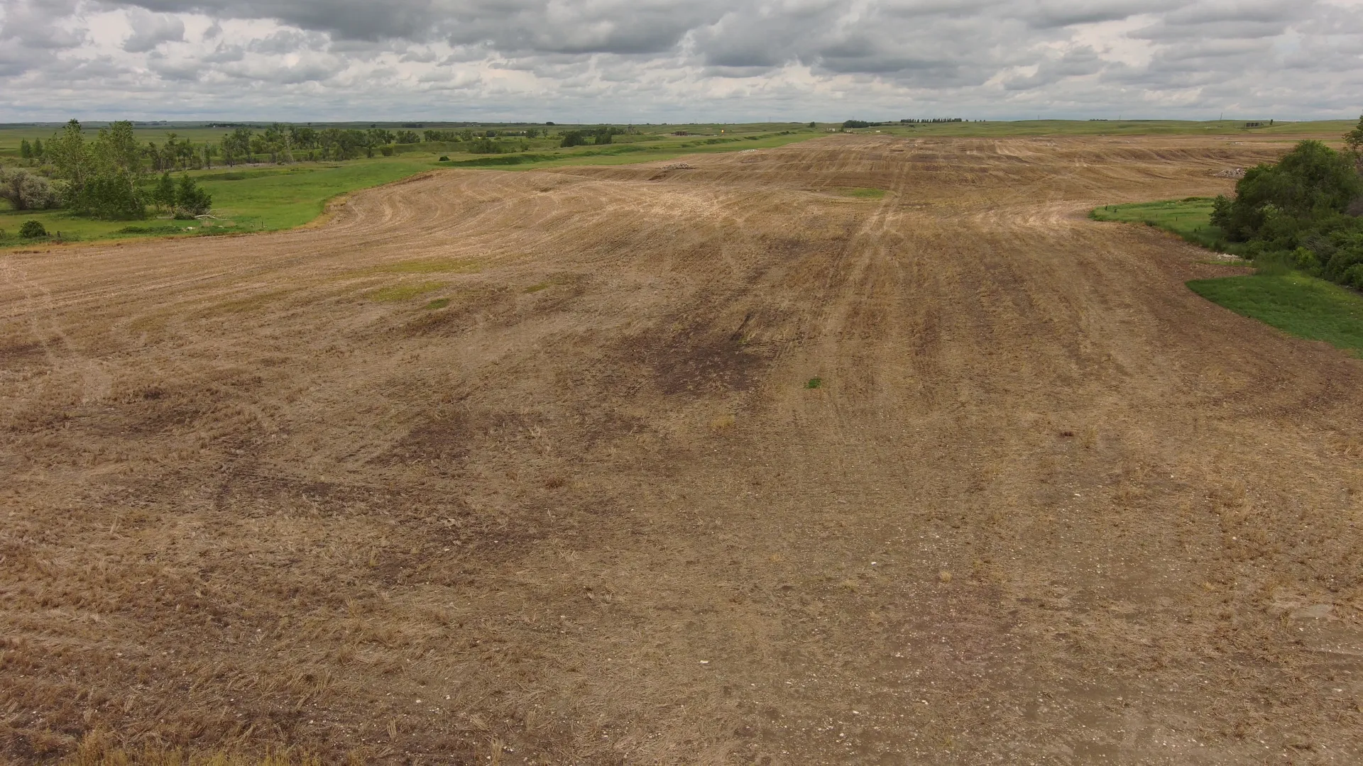
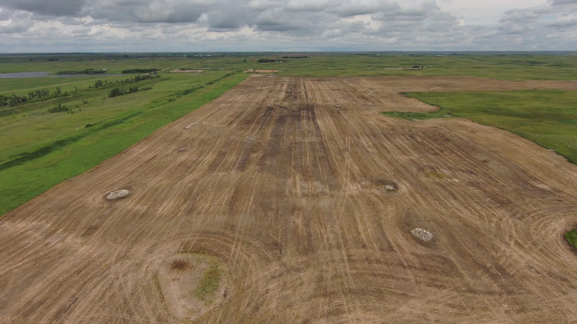
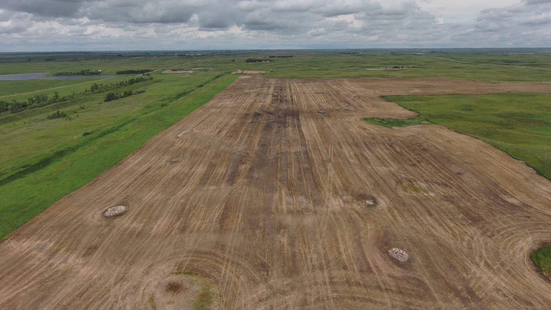
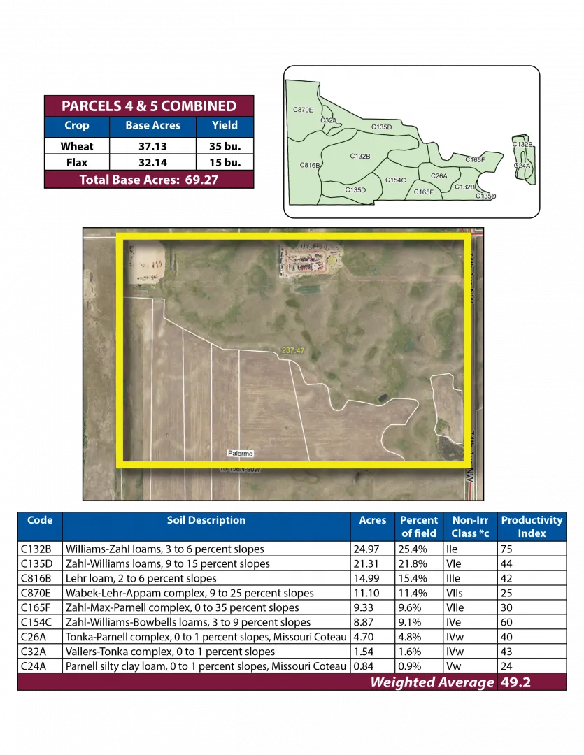
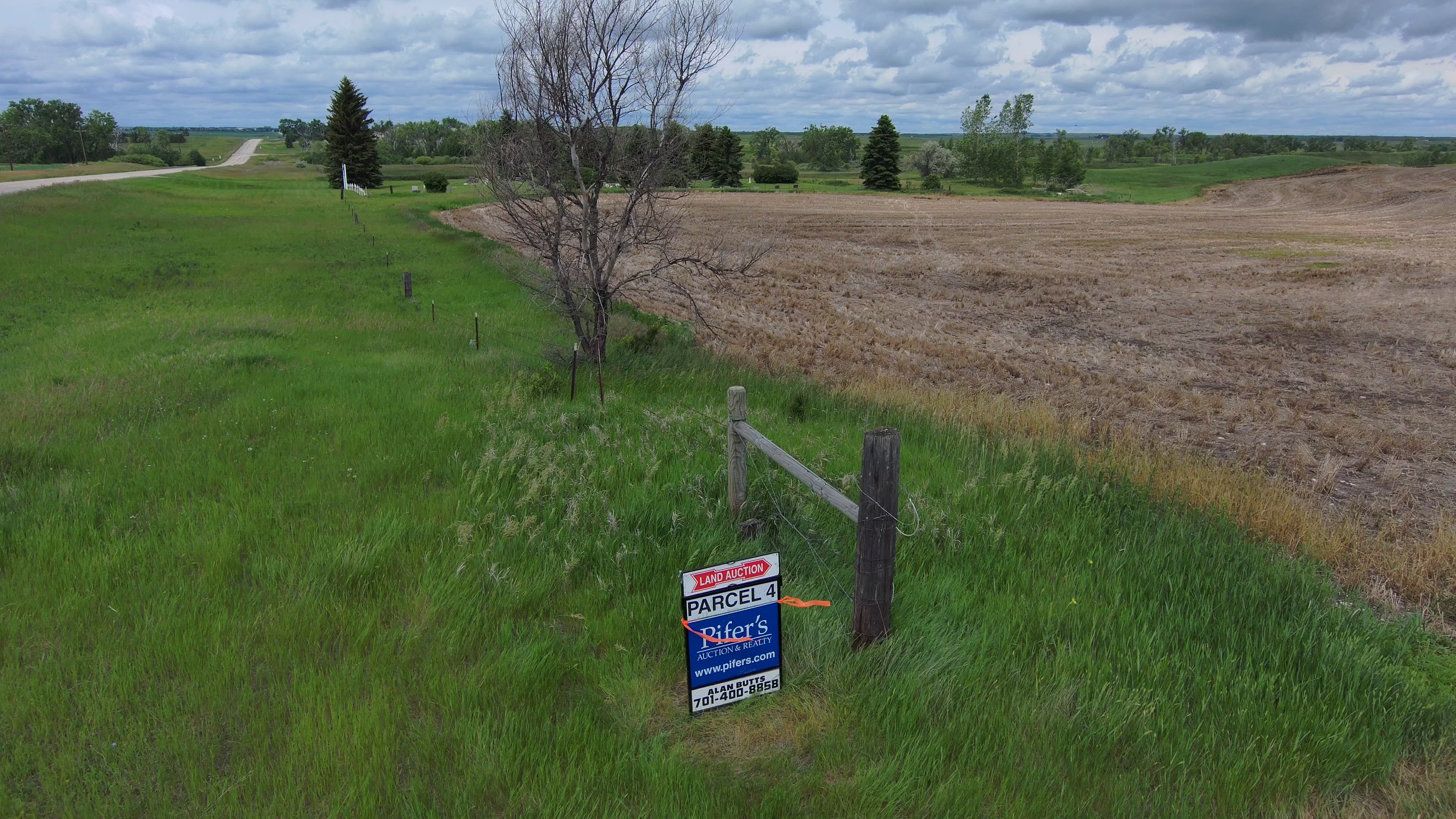
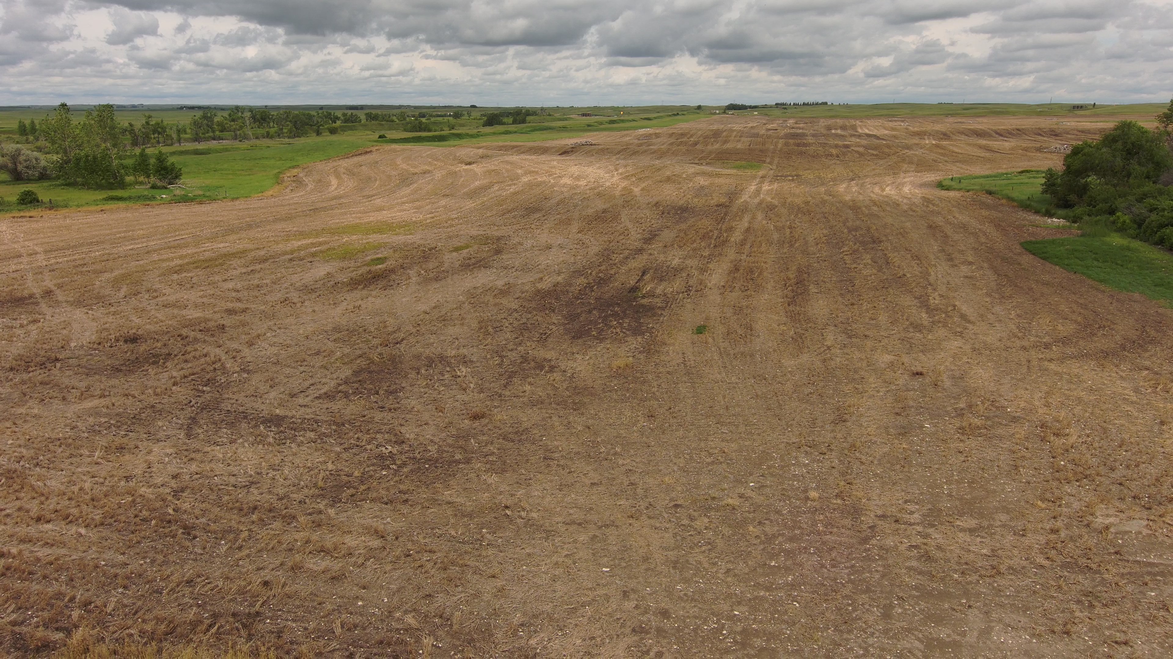
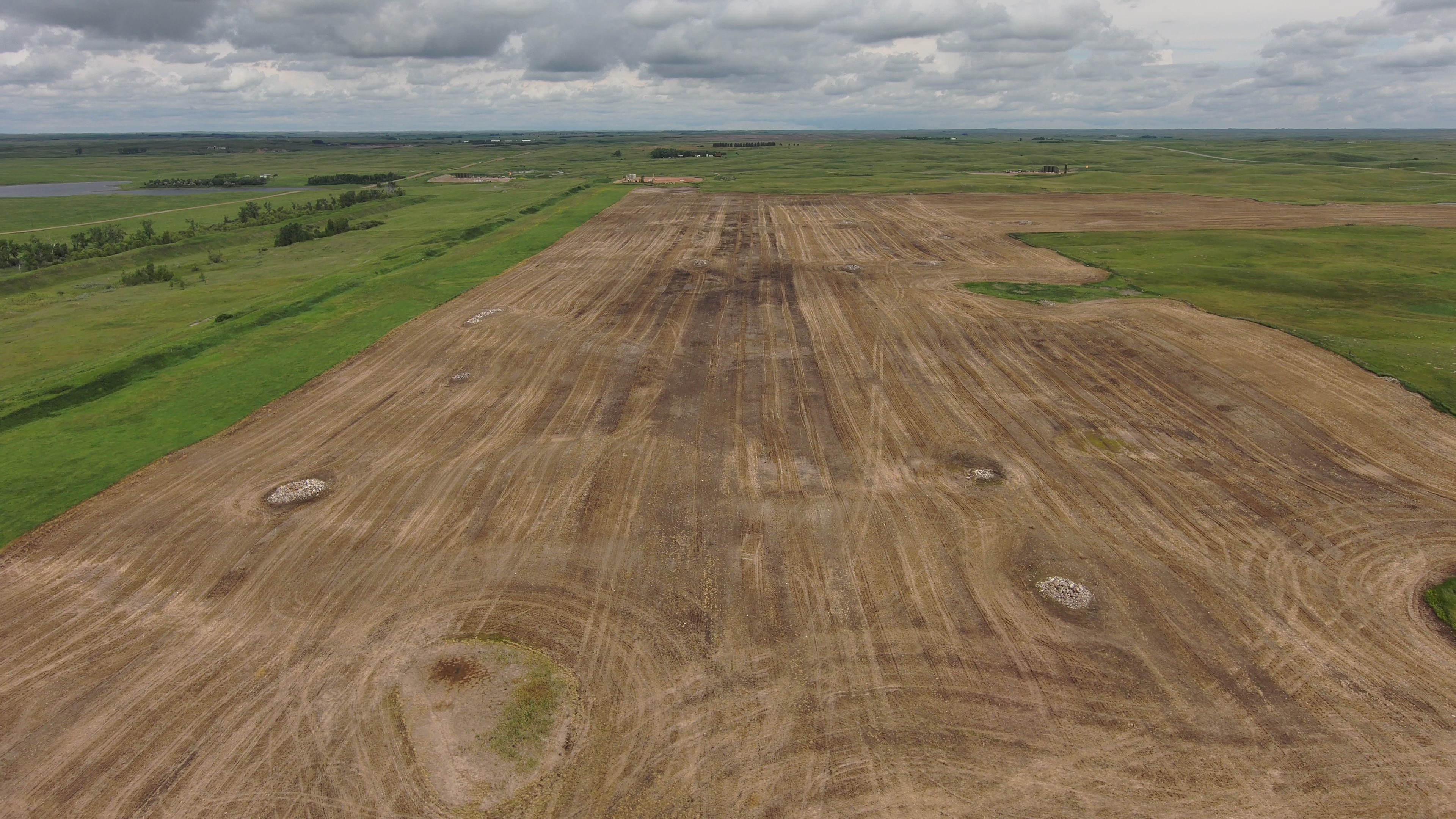
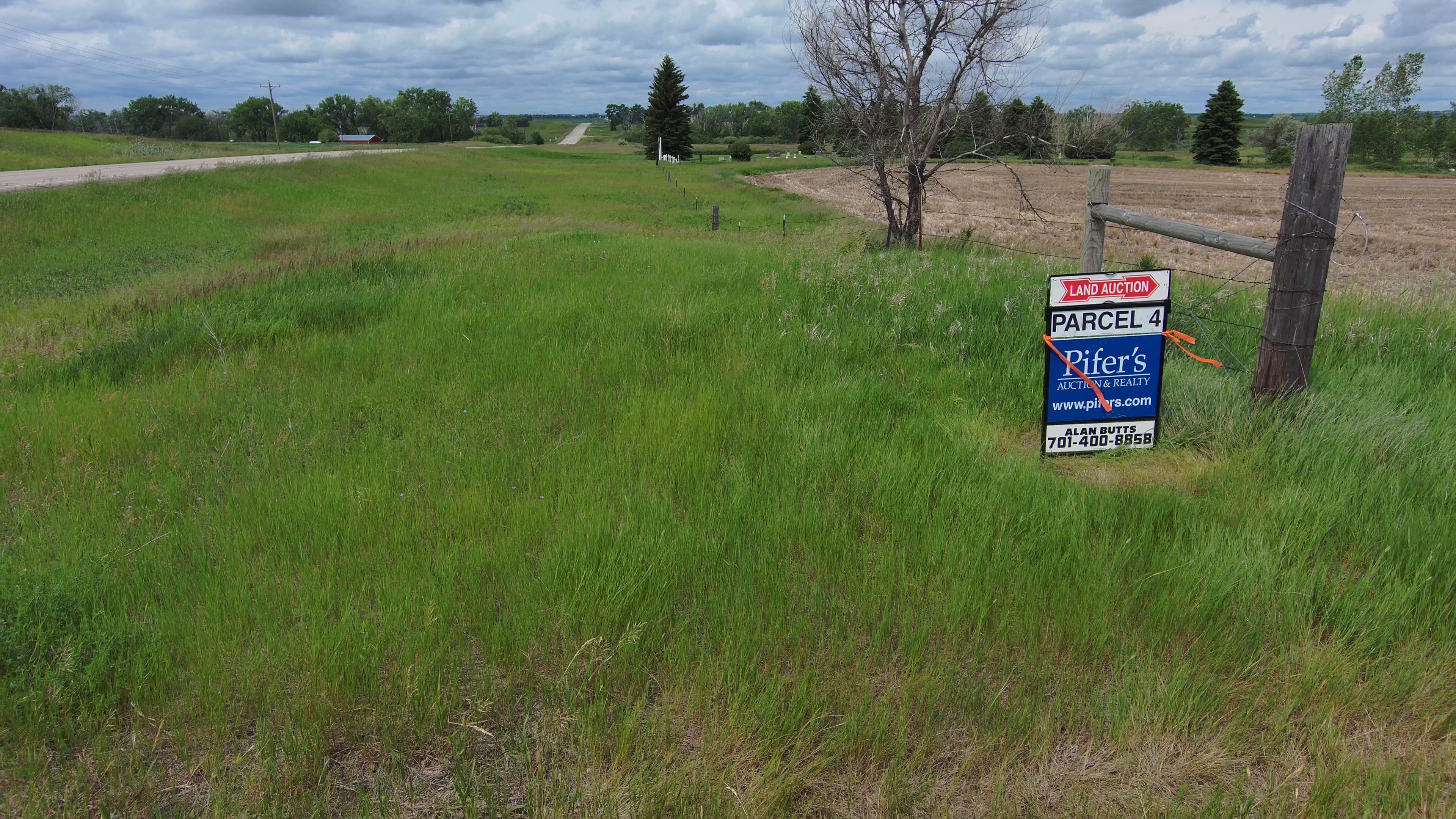
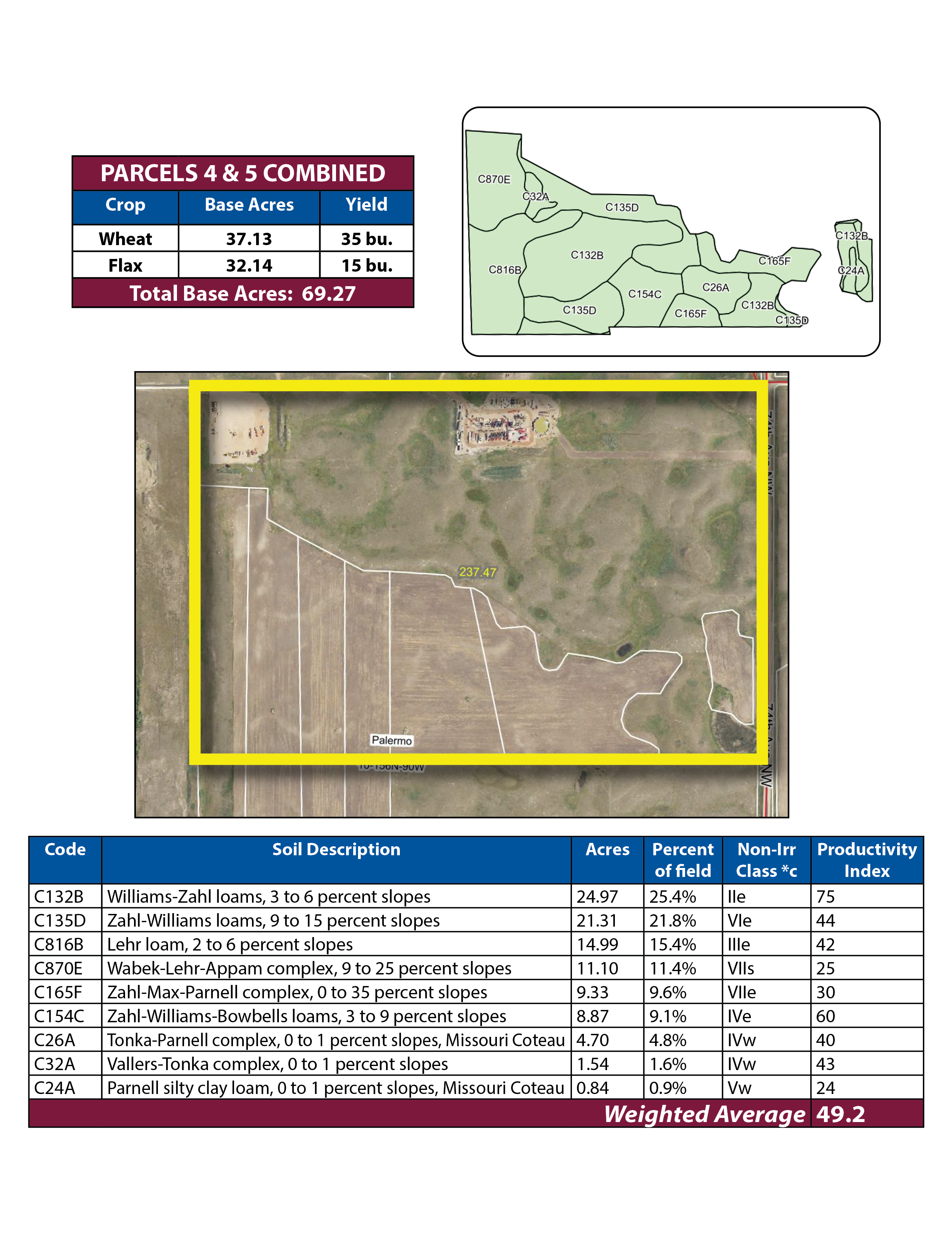
Parcel 4 • Mountrail County, ND
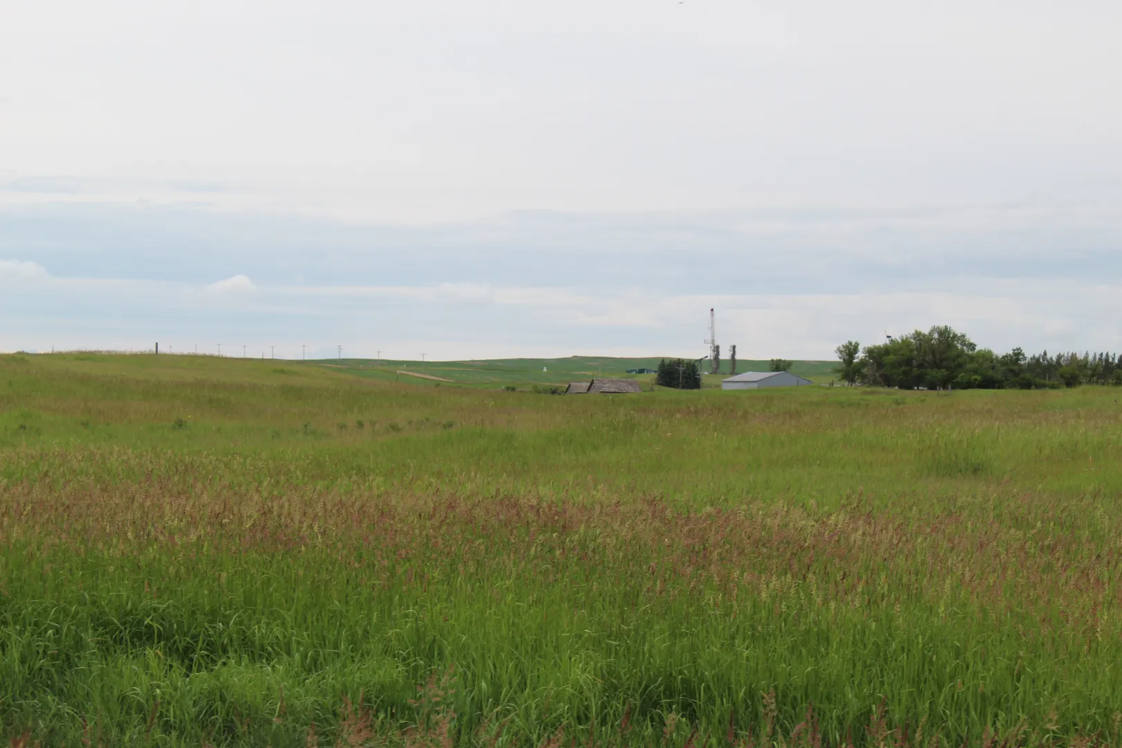
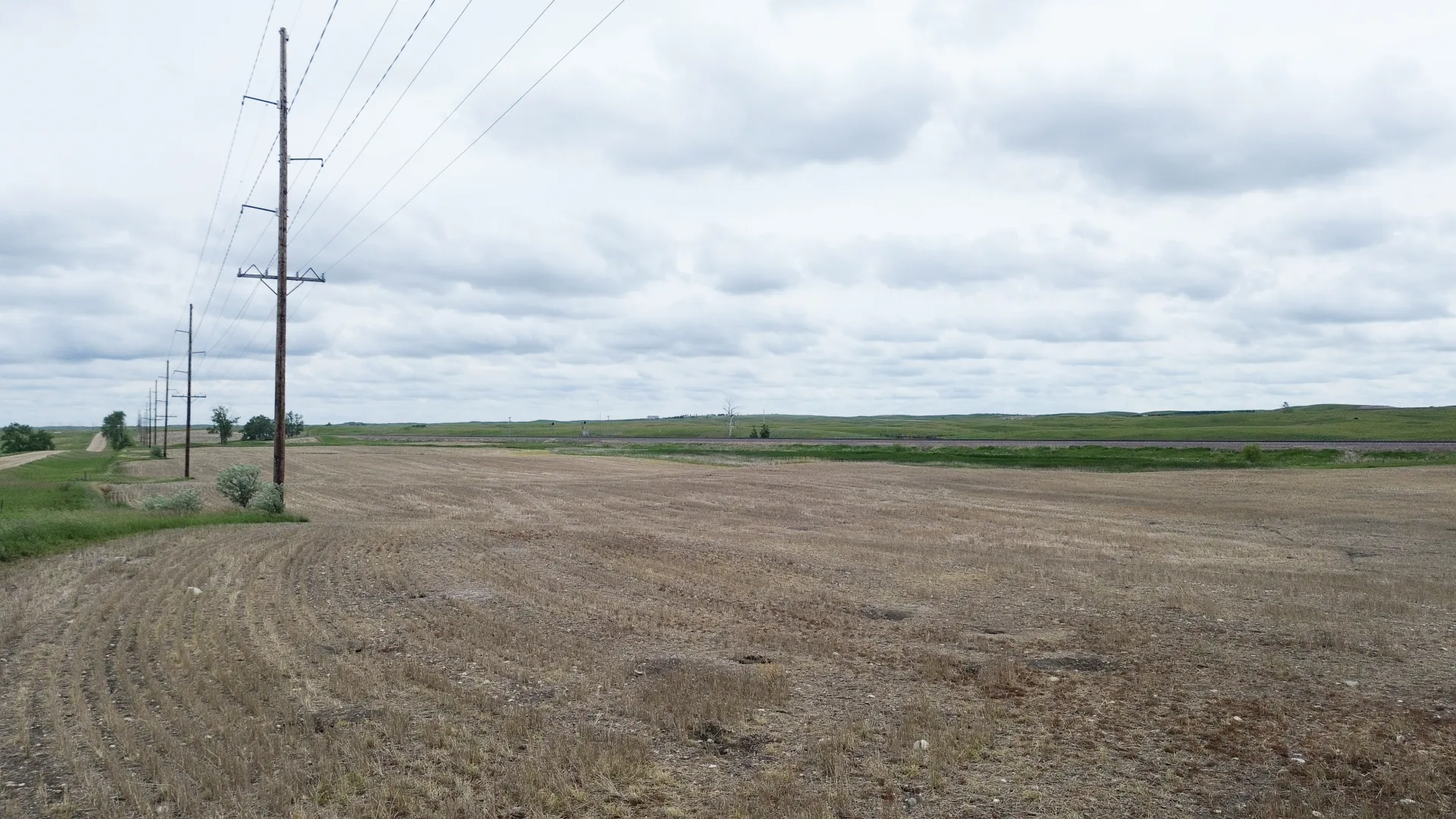
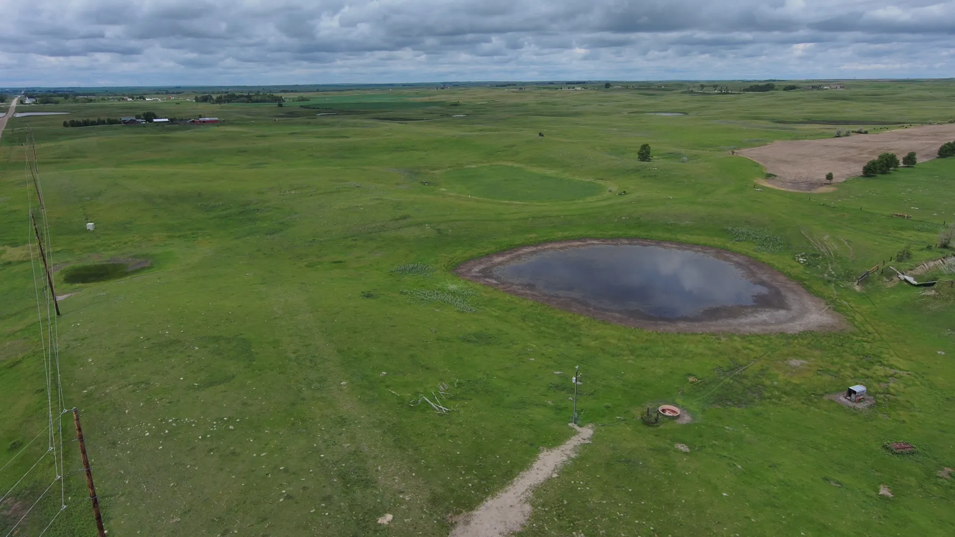
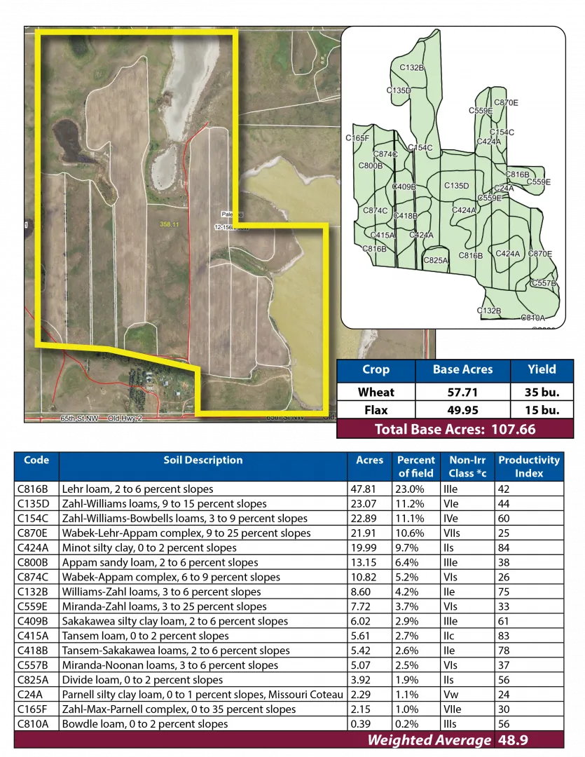
Parcel 4 is ½ miles west of Palermo on the north side of Old Hwy. #2, with a farmstead (Not Included in Sale) in the southeast corner, and the Faith Lutheran Church Cemetery in the southwest corner of the land. There are No USFW Easements on this property, it is subject to a R&T Water Supply Easement.
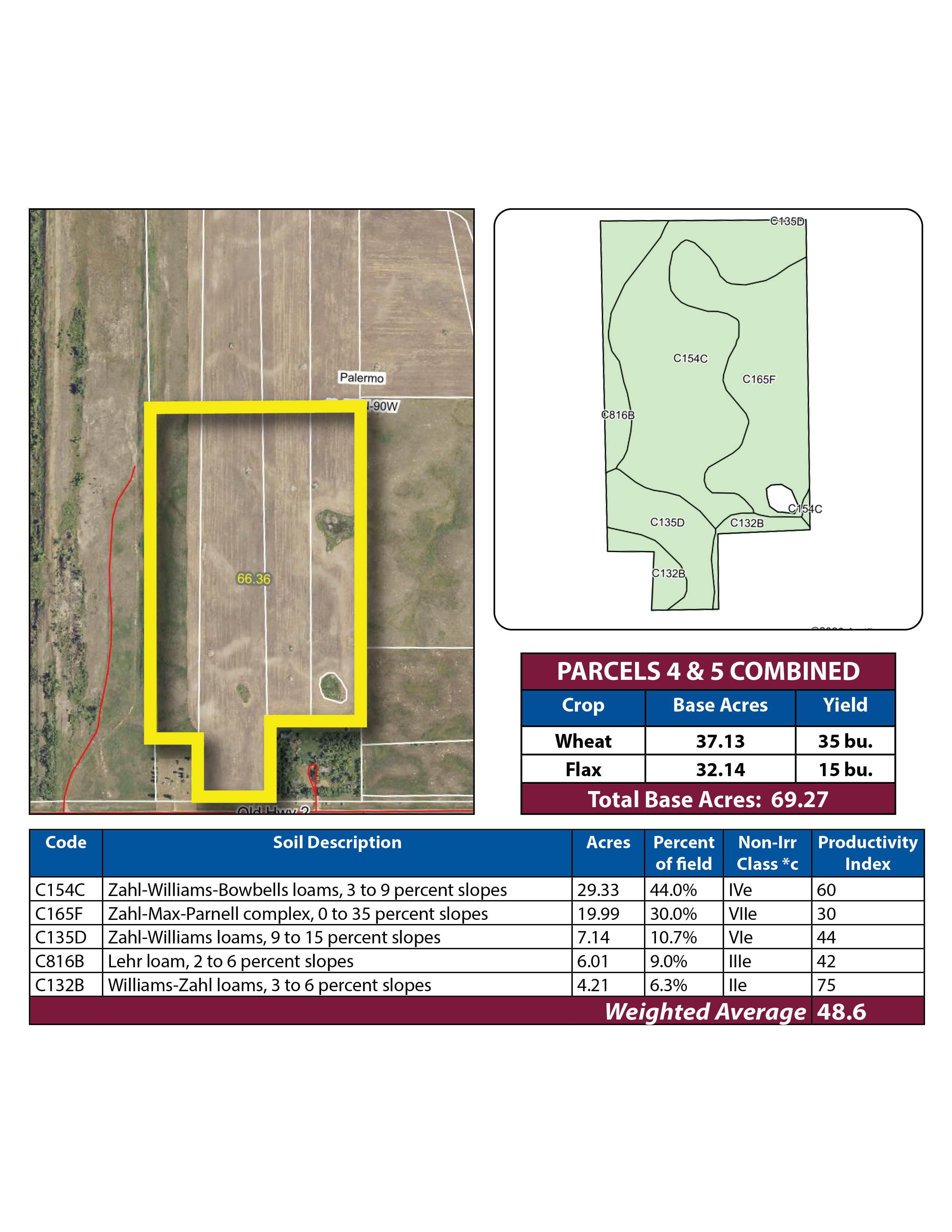


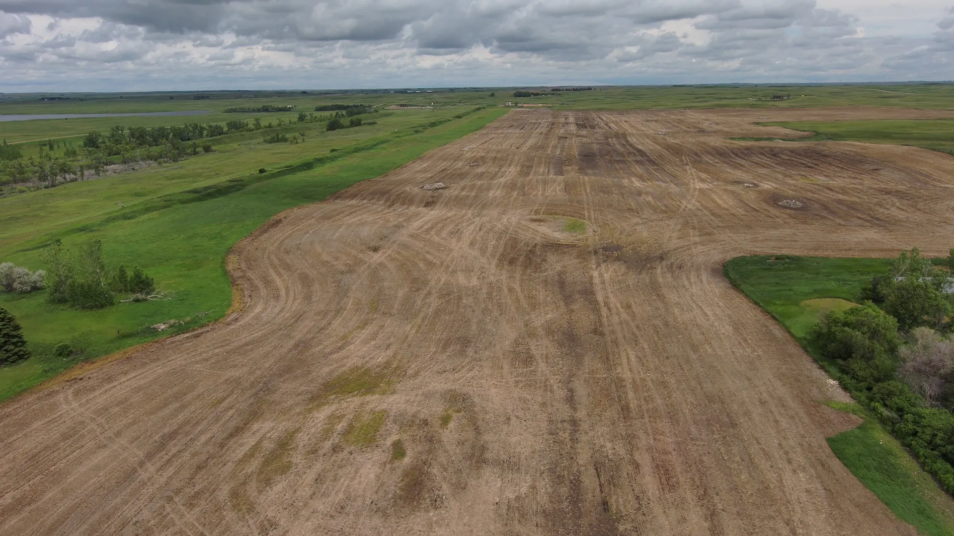
Parcel 5 • Mountrail County, ND
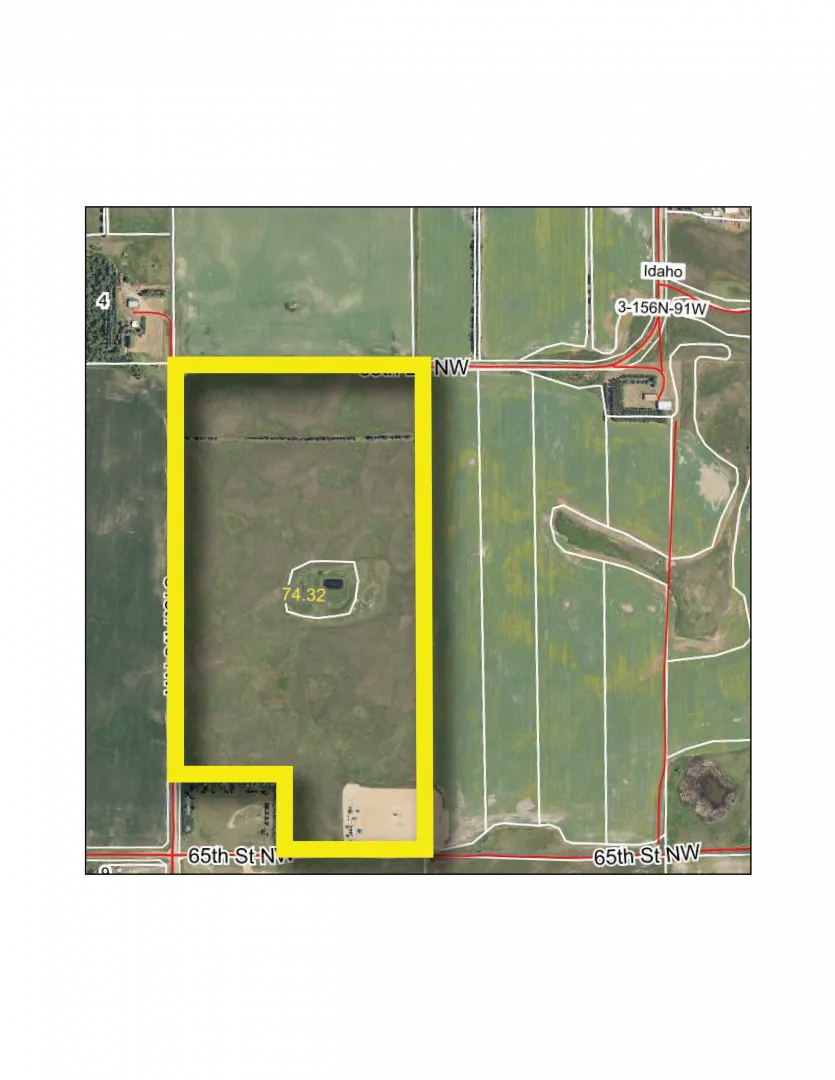
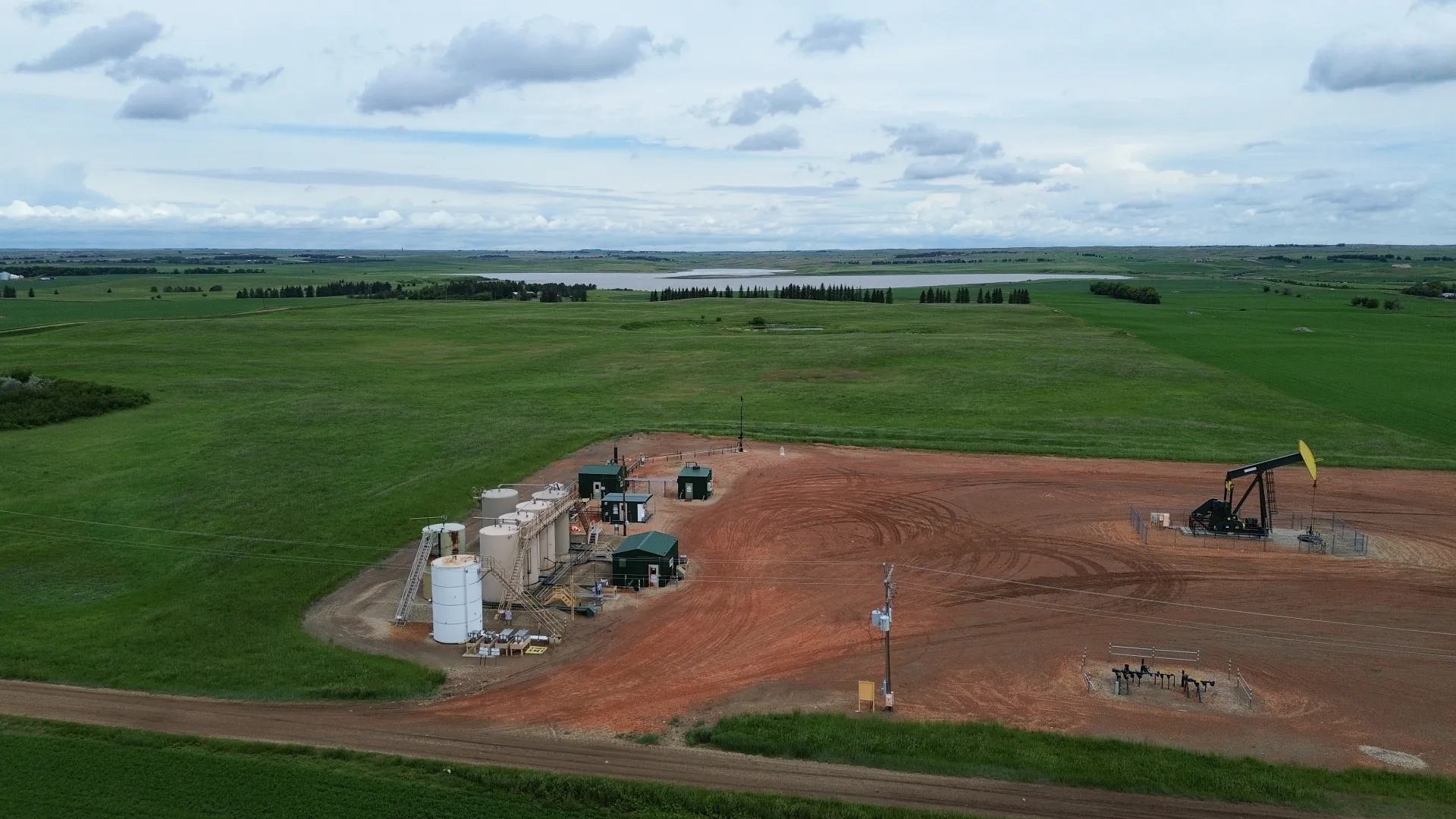
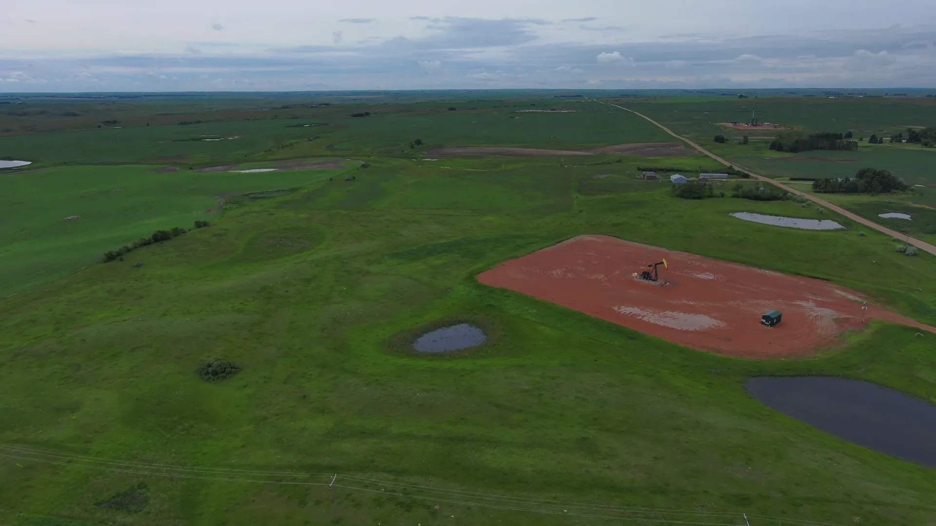
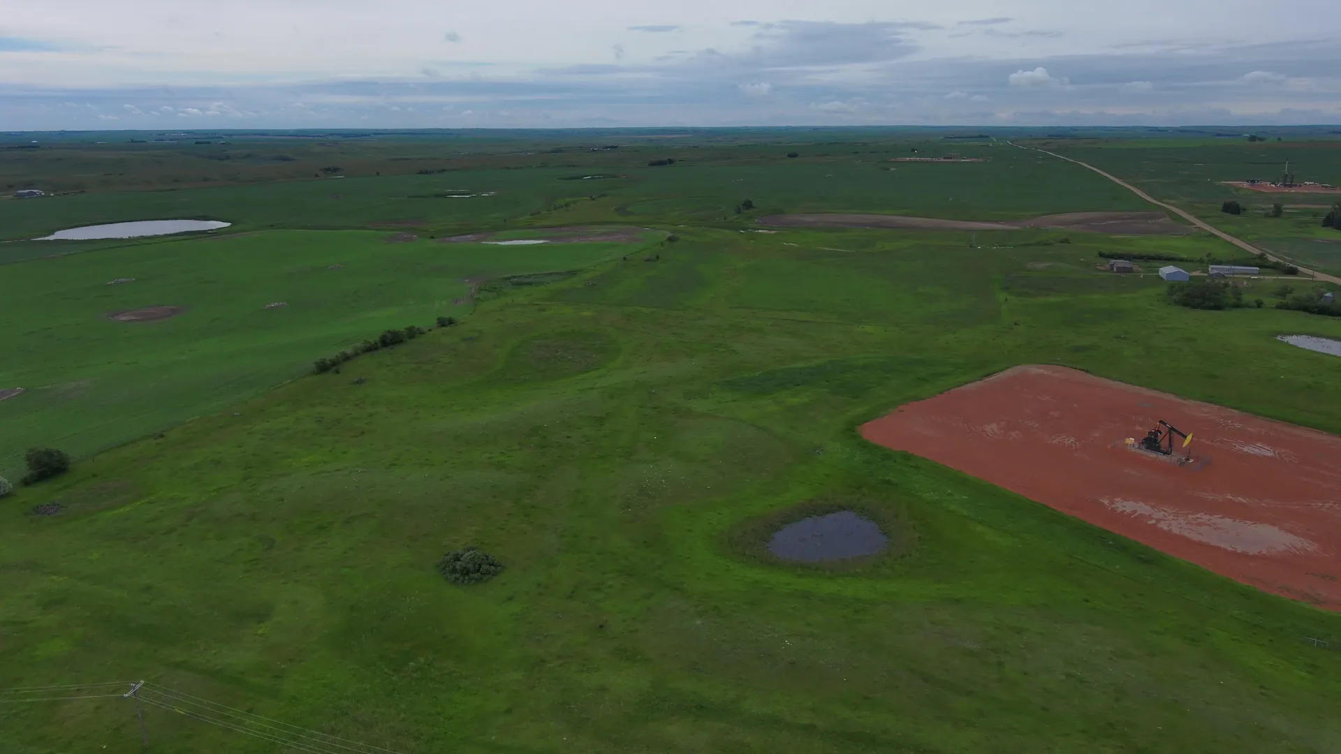
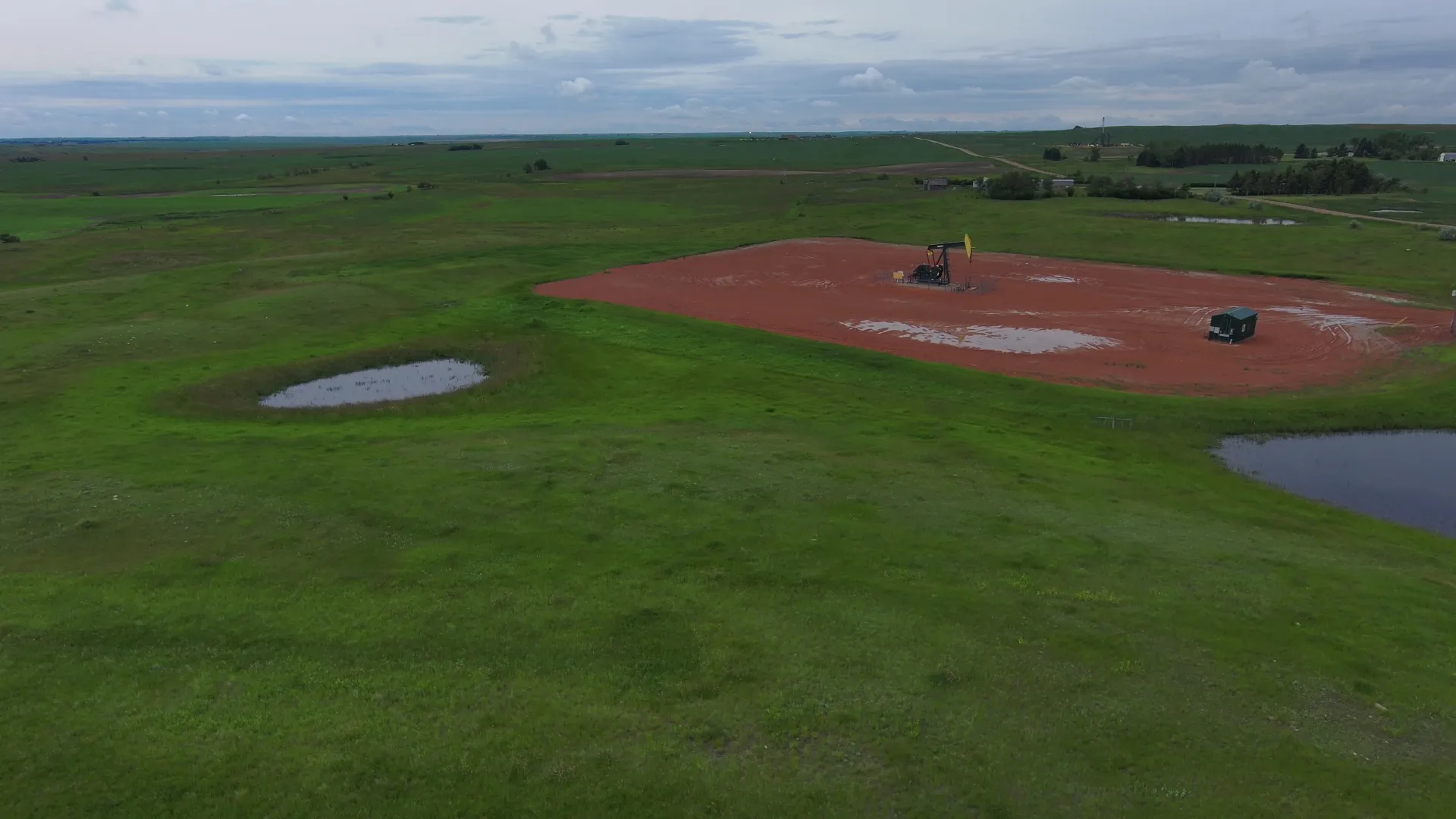
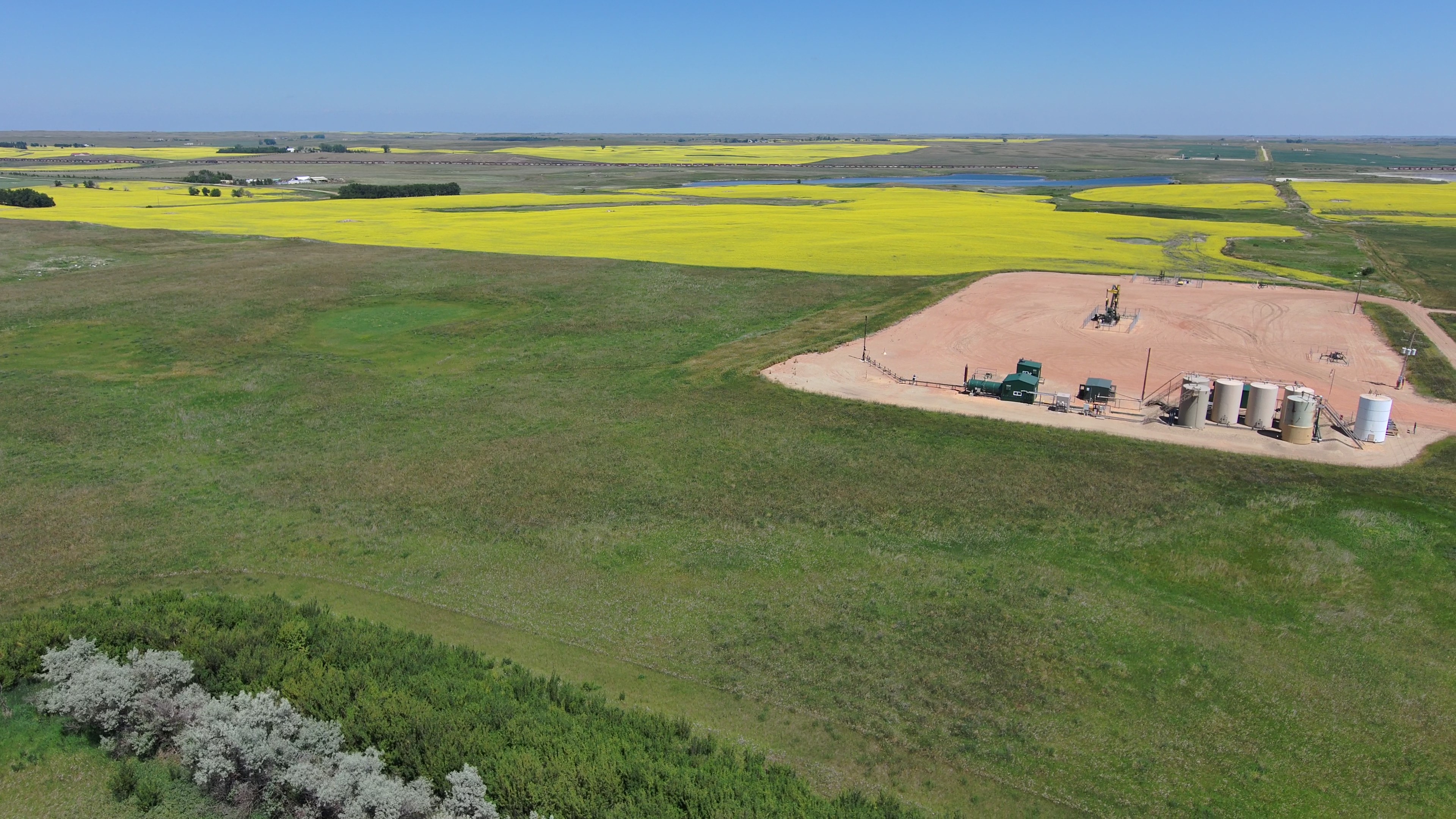
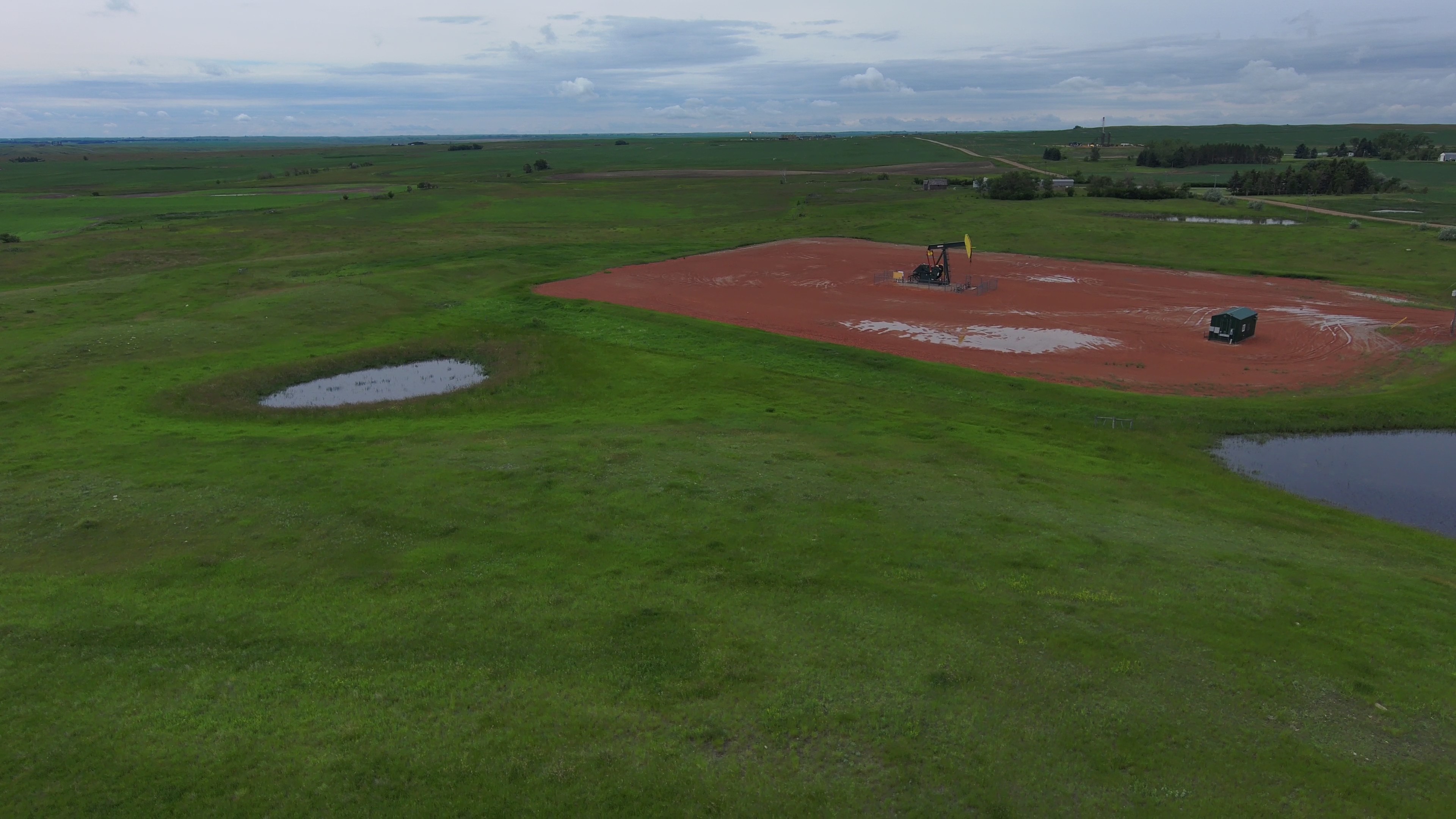
Parcel 5 is ½ mile north of Palermo on 74th Ave. NW. It consists of 237.47 +/- acres in section 10, and adjoins parcel 4. It is a mix of cropland and pasture, and is operated as a unit with parcel 4. There are No USFW Easements, the property is subject to a Pipeline Right of Way Easement and an Active Oil and Gas Lease. The buyer of the property will receive an annual payment of $5,122.00 as a surface lease payment for multi-well sites. These payments will begin in 2027 to the buyer.


Parcel 6 • Mountrail County, ND
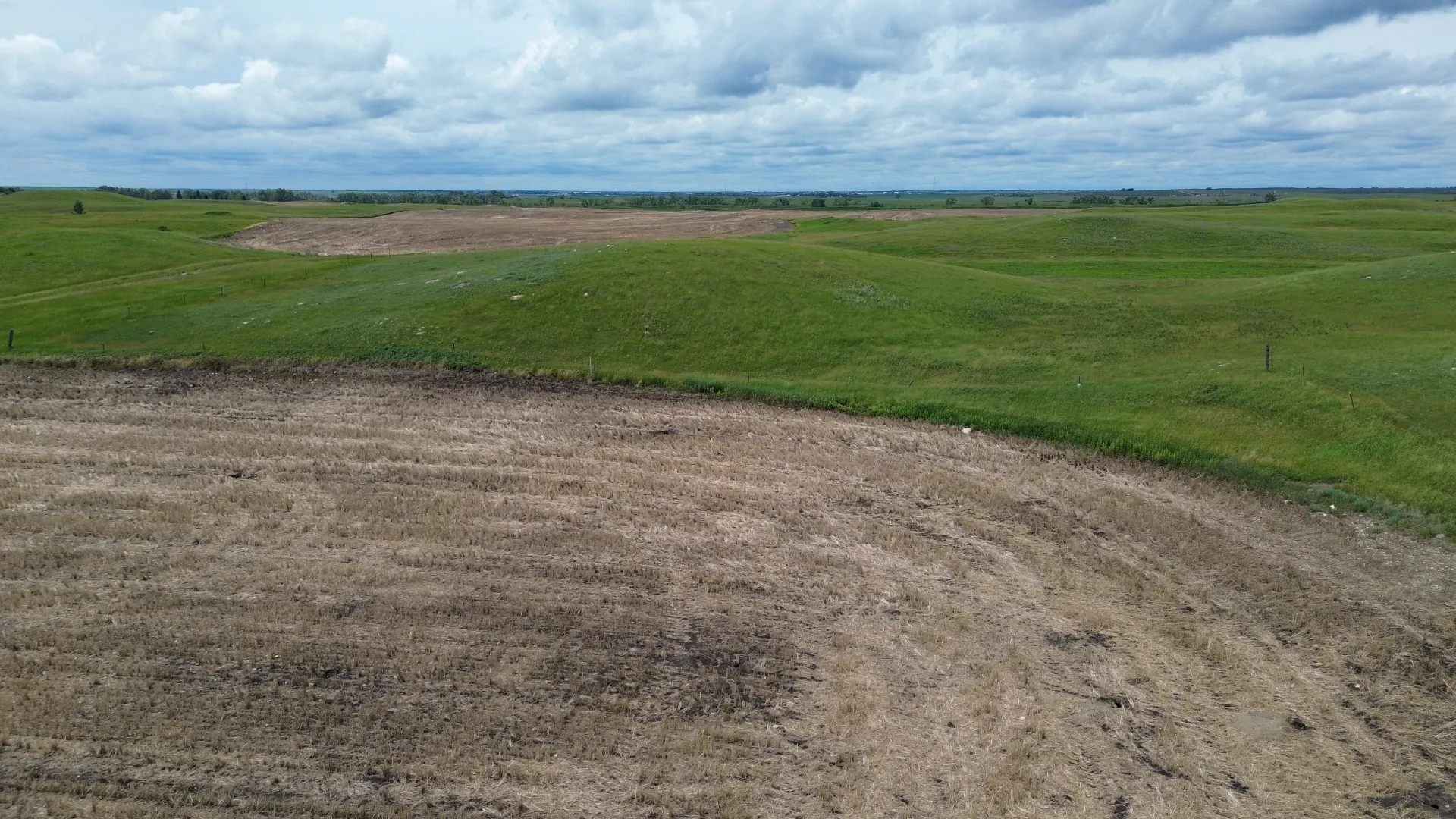
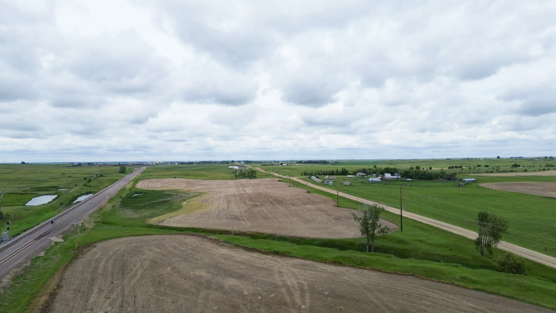
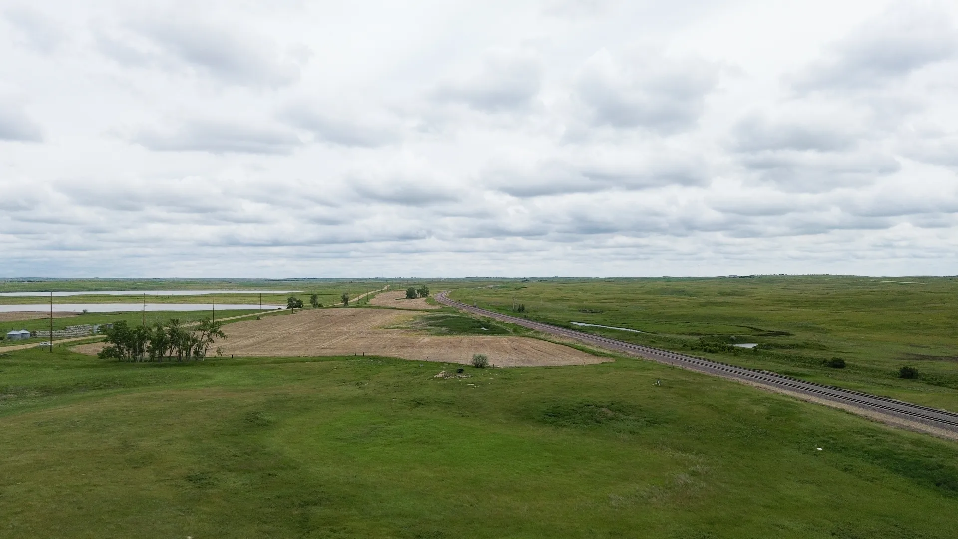
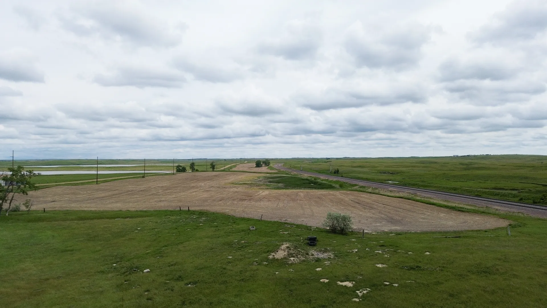
Parcel 6 is one mile east of Palermo on Old Hwy. #2 and is a mile long narrow strip of crop and pasture between the railroad tracks, and Old Hwy. #2. The property is not subject to any USFW Easements. The parcel is subject to a Pipeline Right-of-Way Easement, an R&T Water Supply Easement, and a Mountrail Williams Electrical Easement.


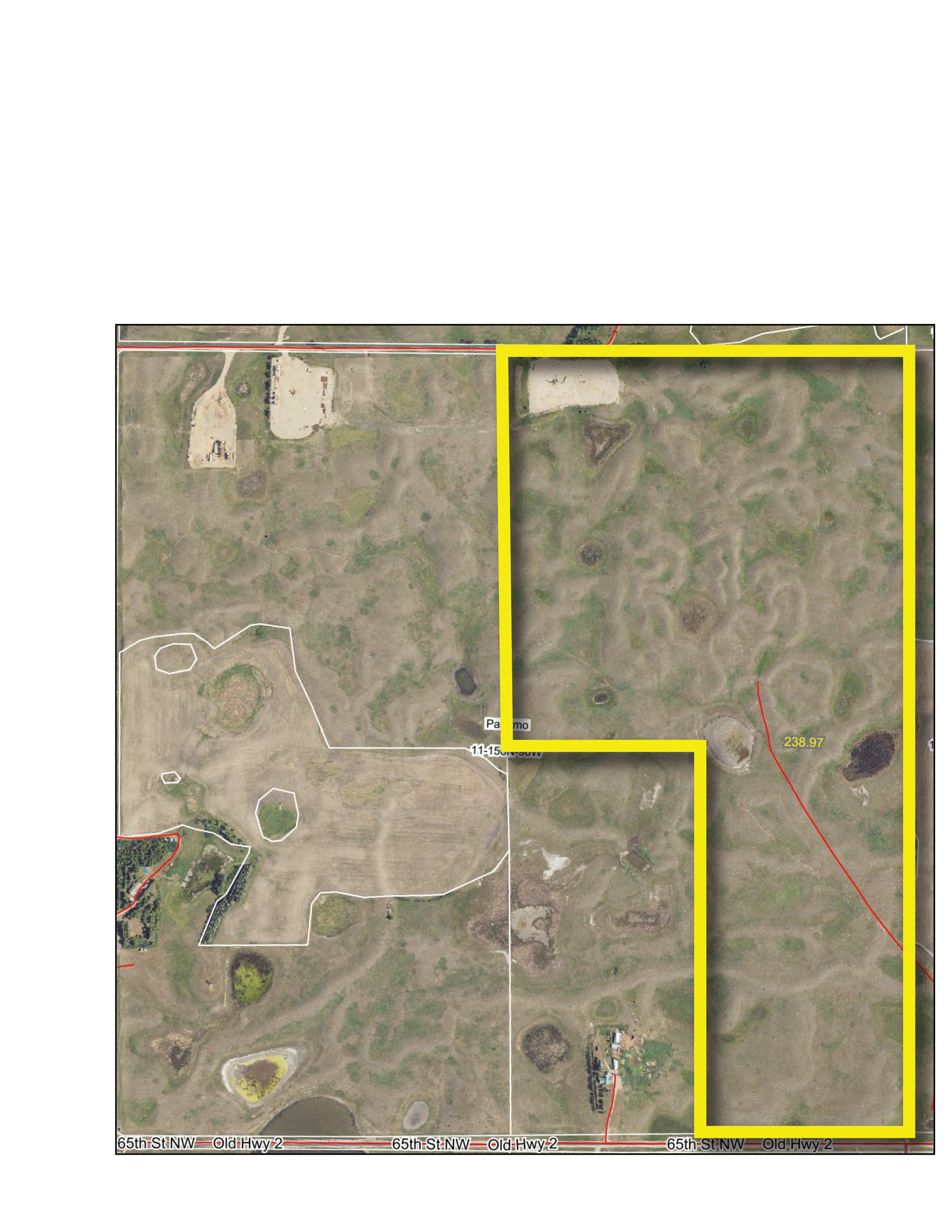
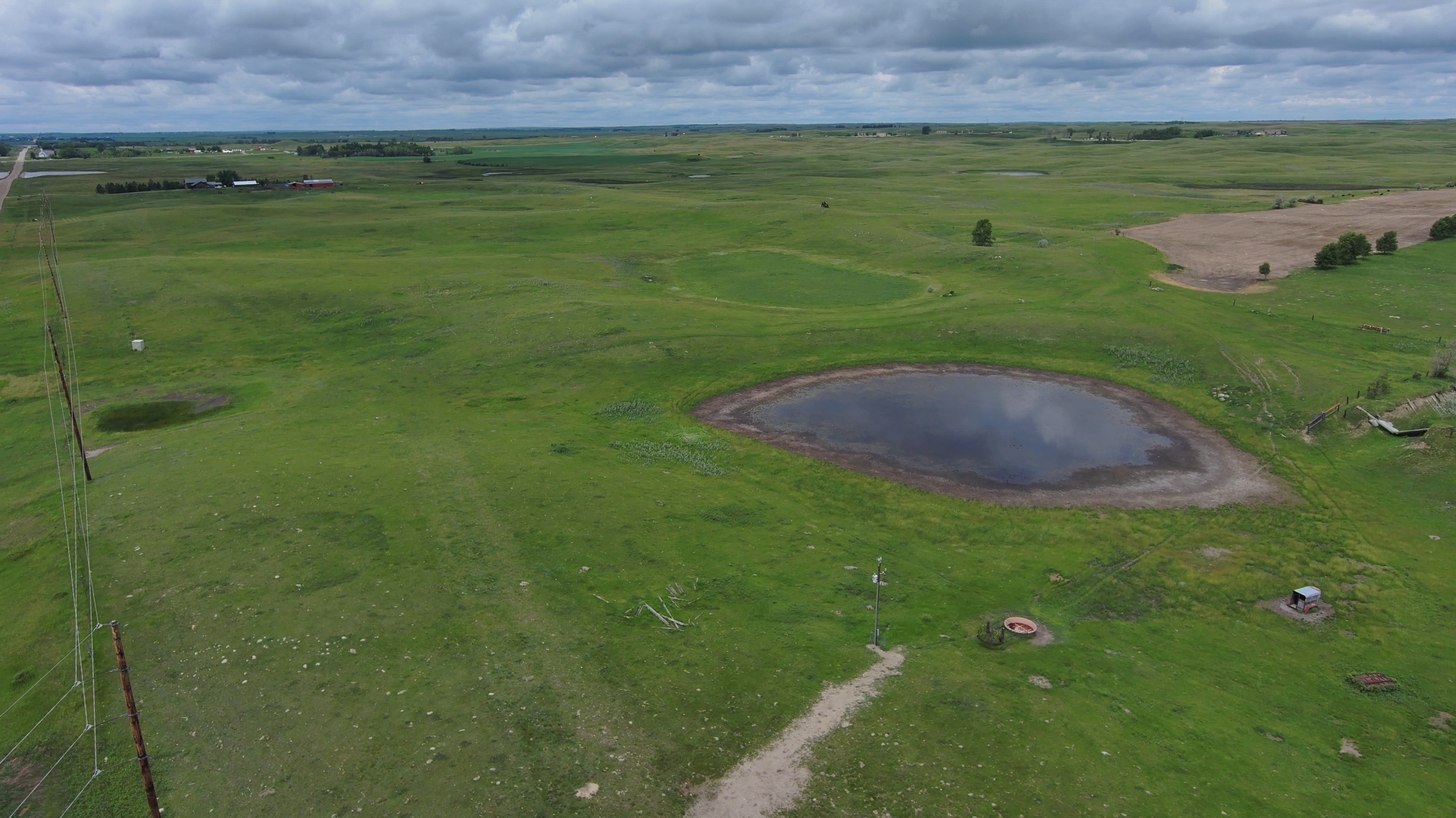
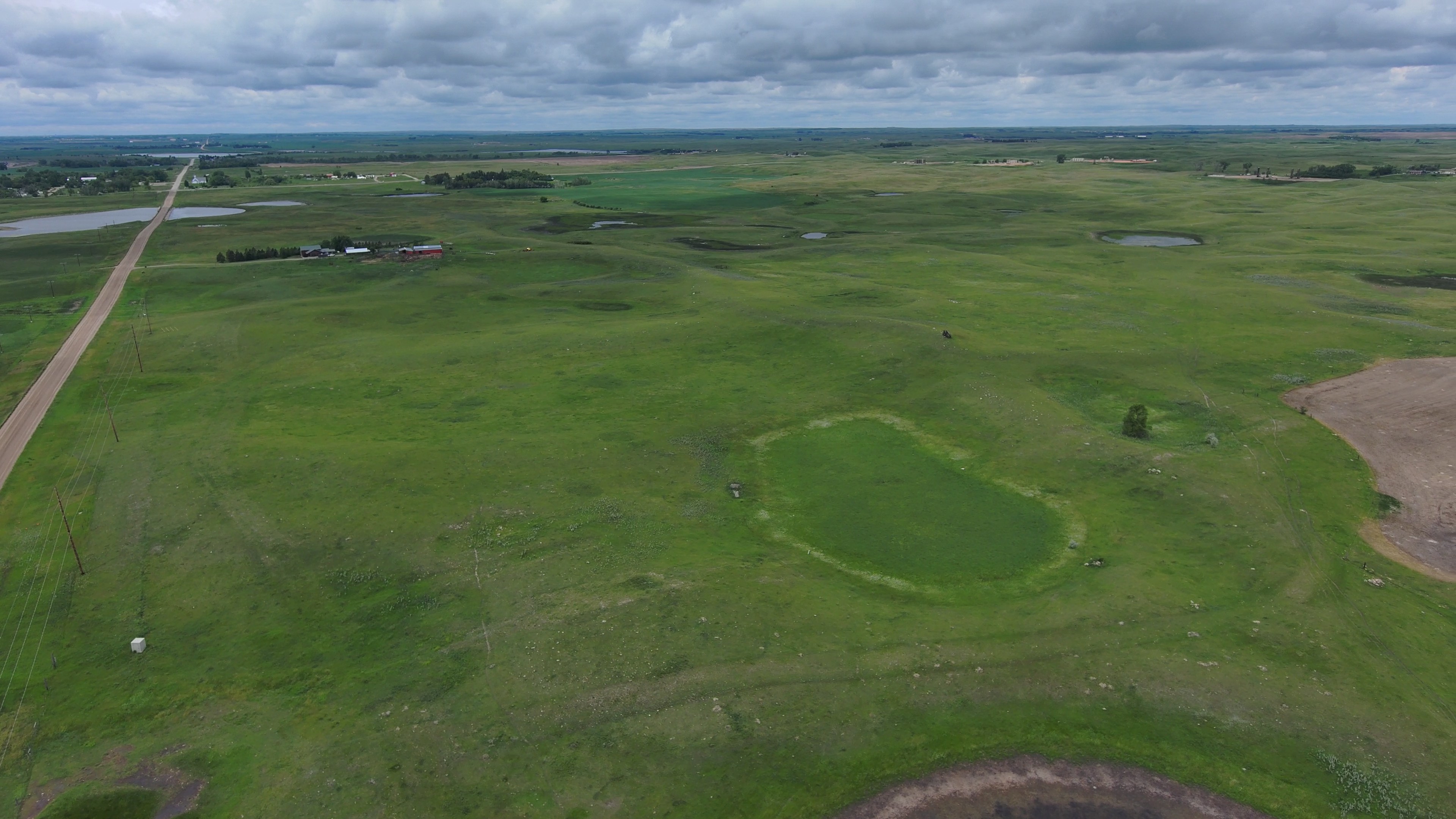
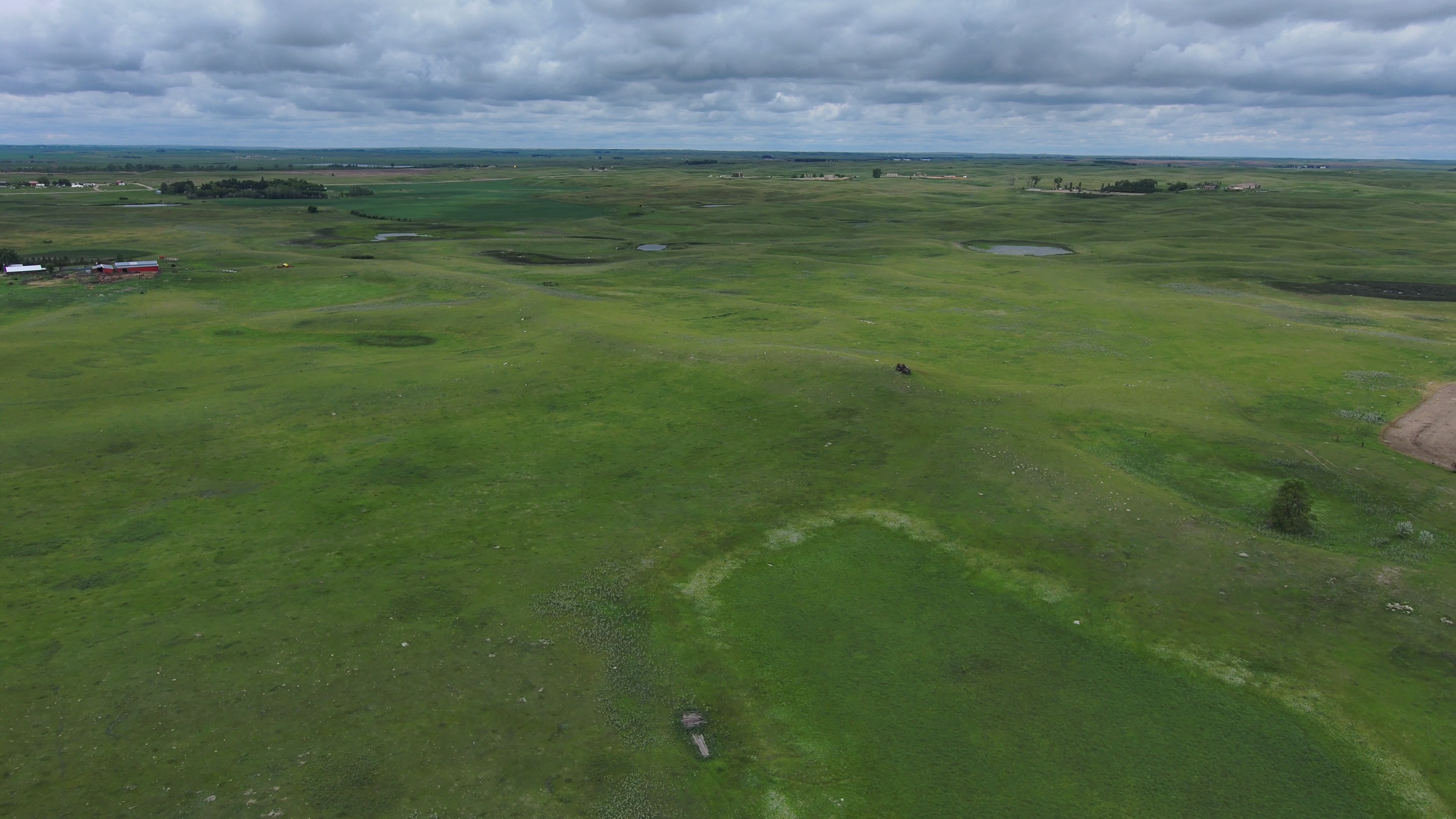
Parcel 7 • Mountrail County, ND
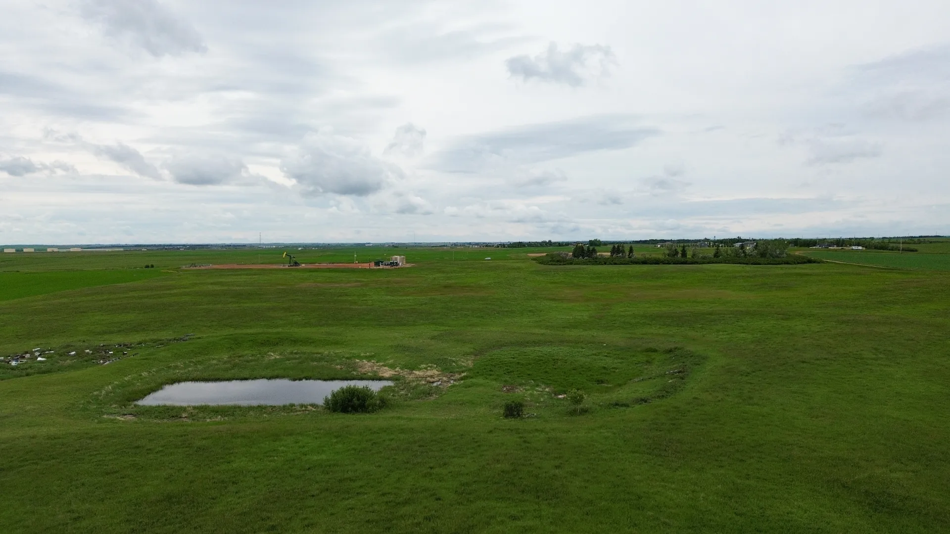
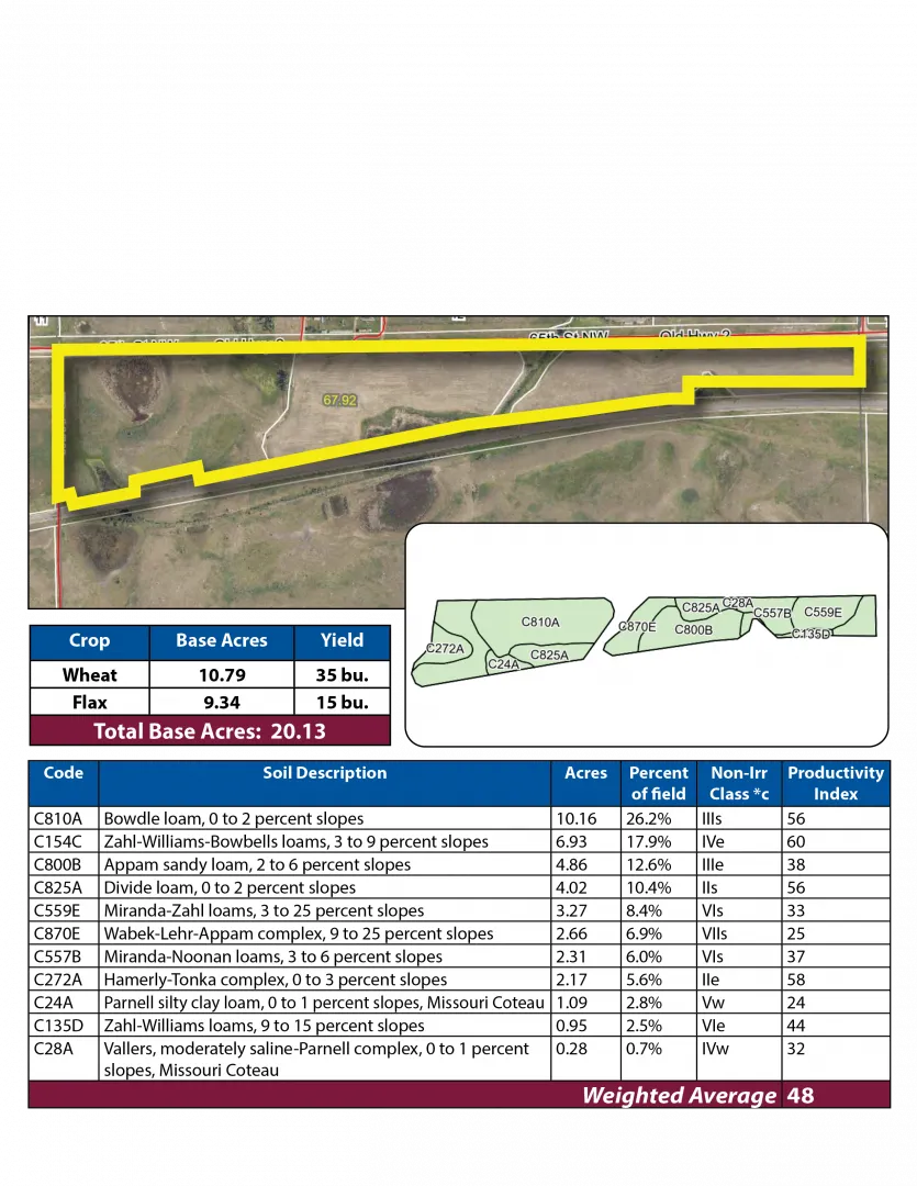
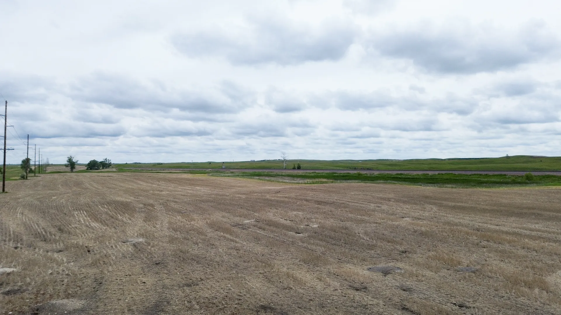
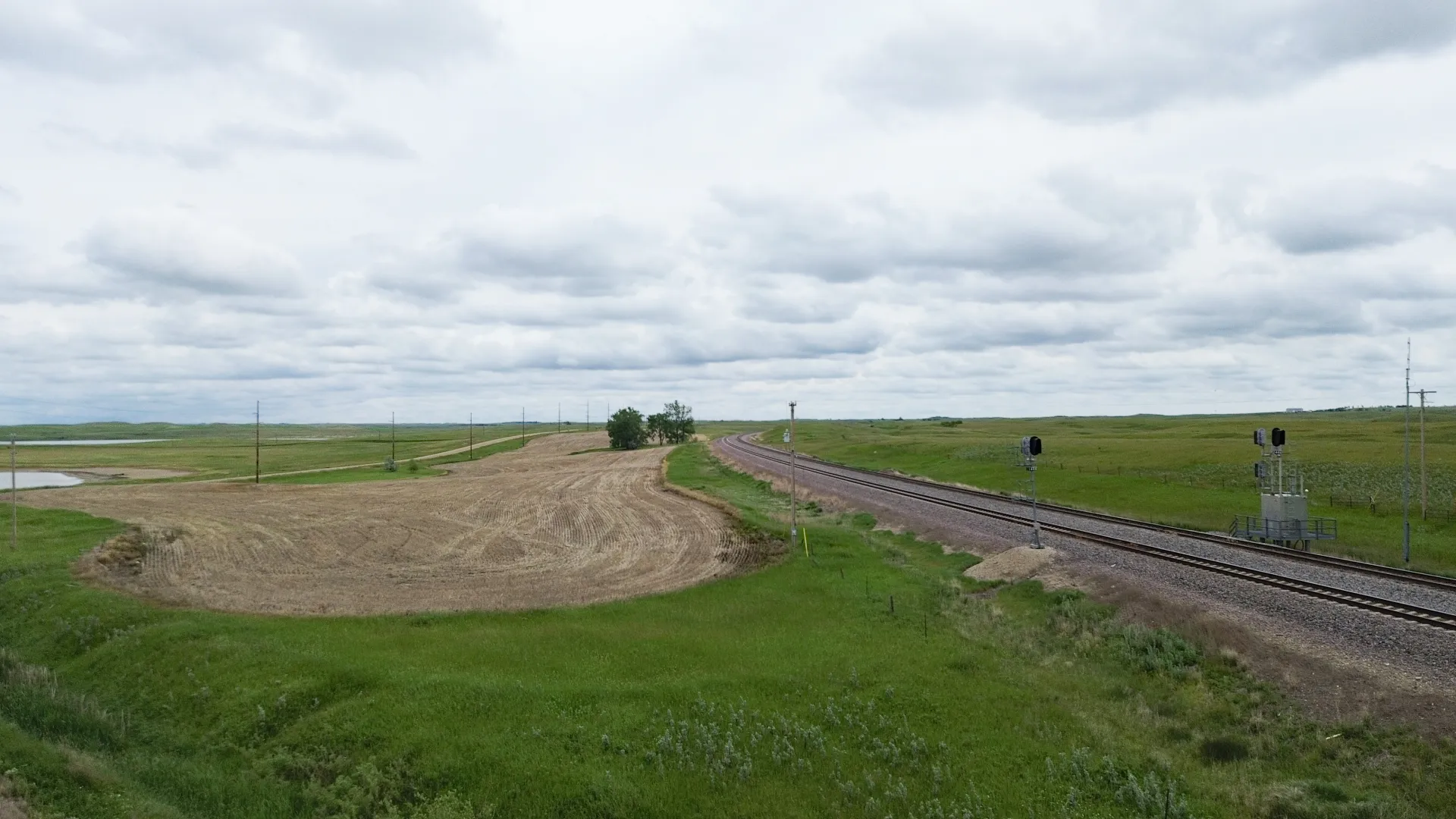
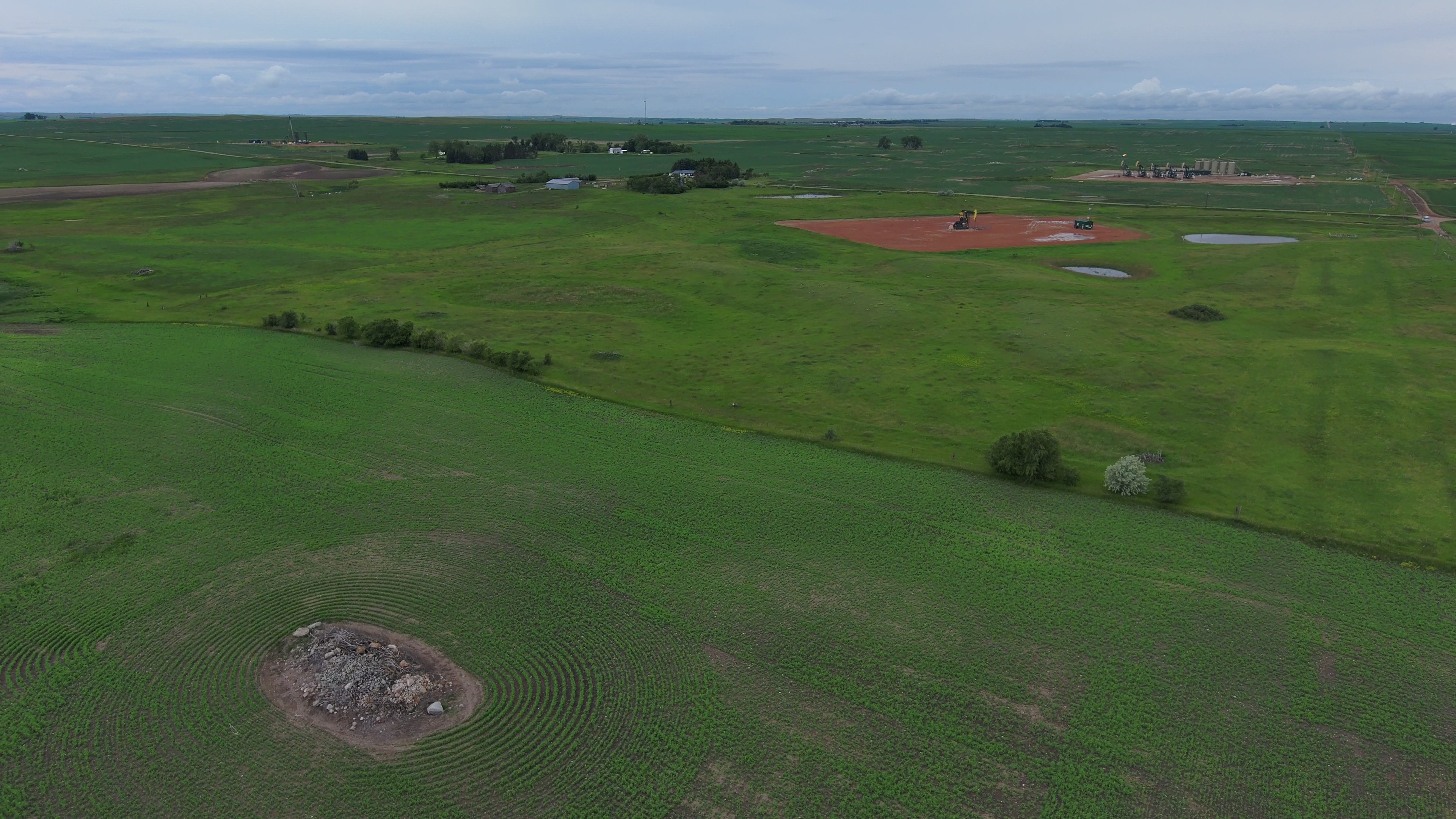
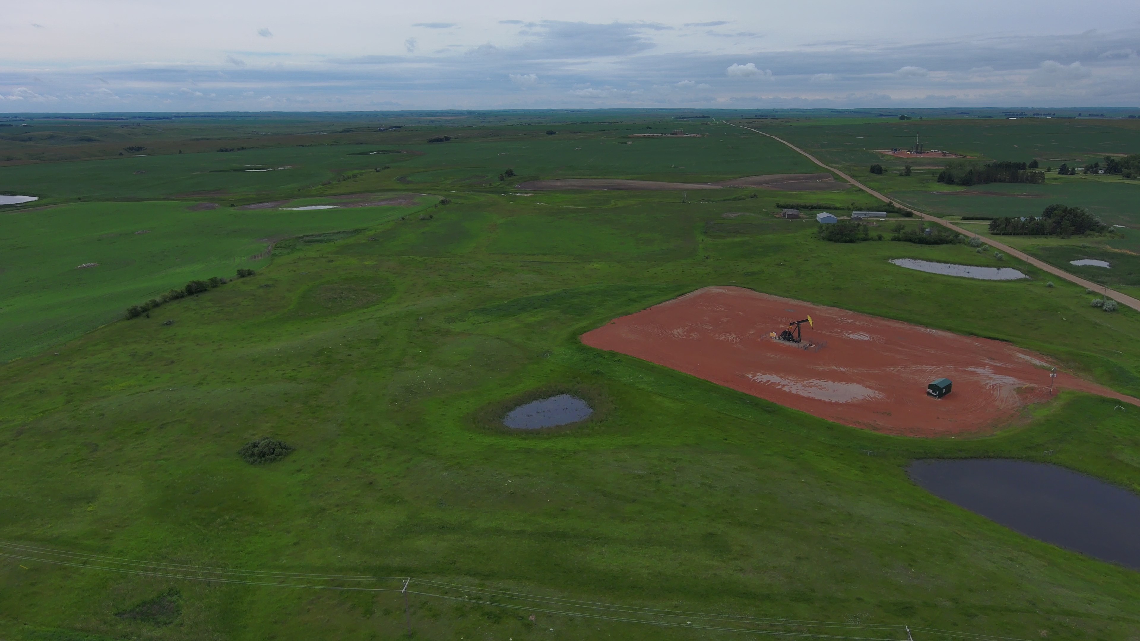
Parcel 7 is ¾ miles east of Palermo on the north side of Old Hwy. #2. It consists of 233.21 +/- acres of pastureland and adjoins parcel 8 and 13 on the east. The property is subject to a USFW Wetland Easement, an active Oil and Gas Lease, an R&T Water Supply Easement, a Mountrail Williams Electrical Easement, and a Pipeline Right-of-Way Easement. The buyer of the property will receive an annual payment of $1,200.00 as a surface lease payment for multi-well sites. These payments will begin in 2027 to the buyer.
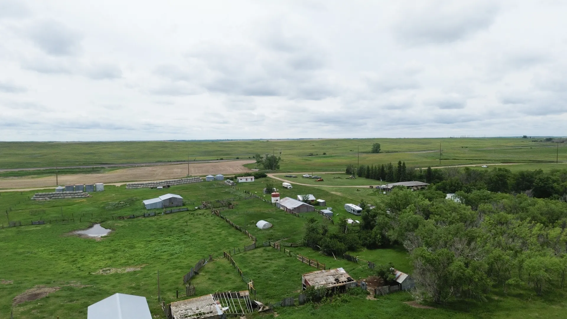
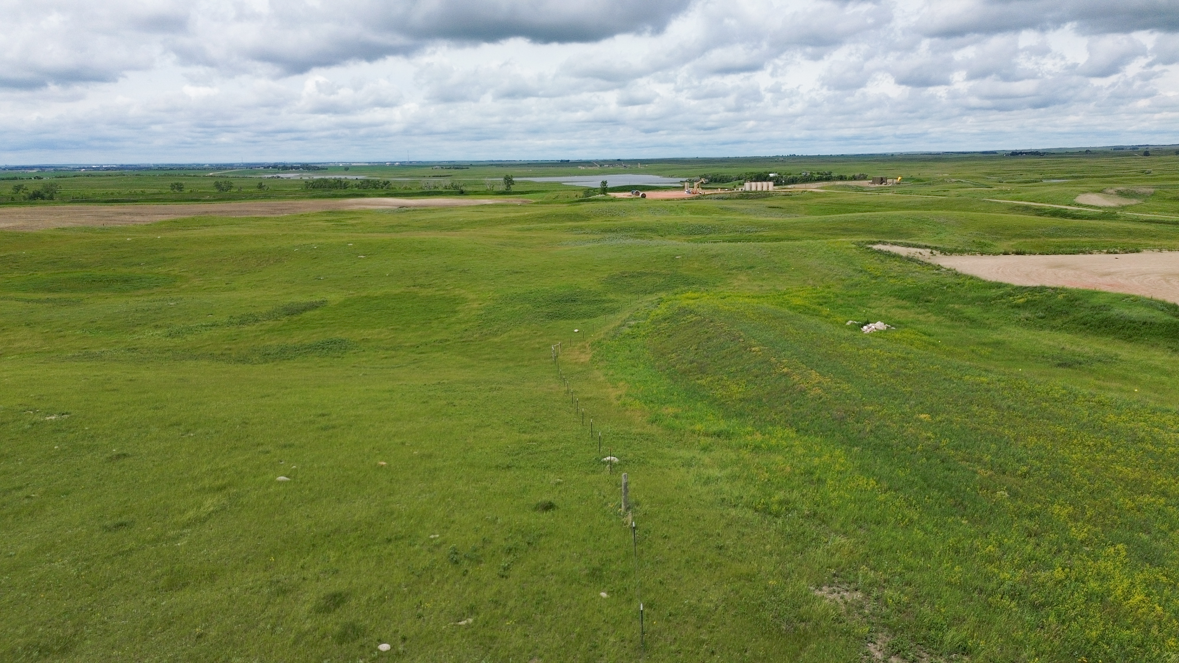
Parcel 8 • Mountrail County, ND
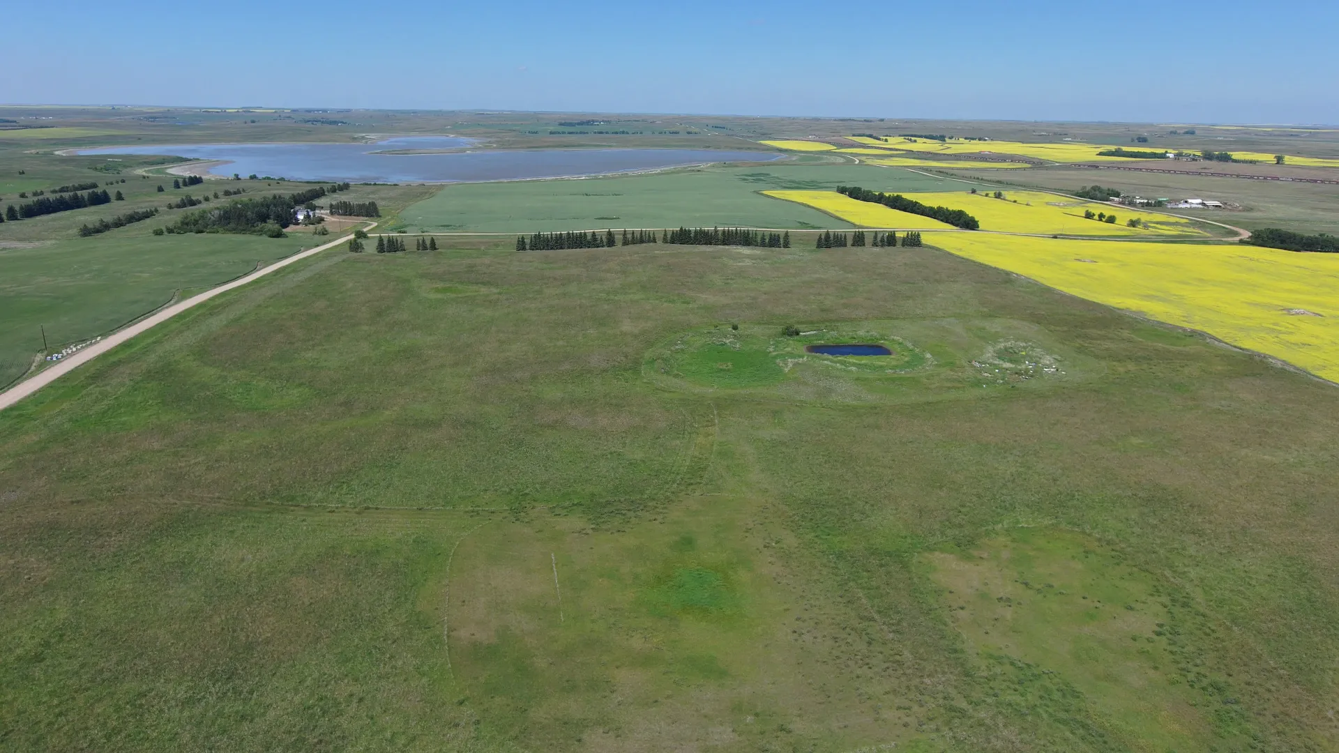
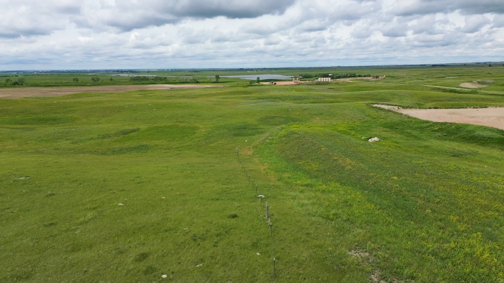
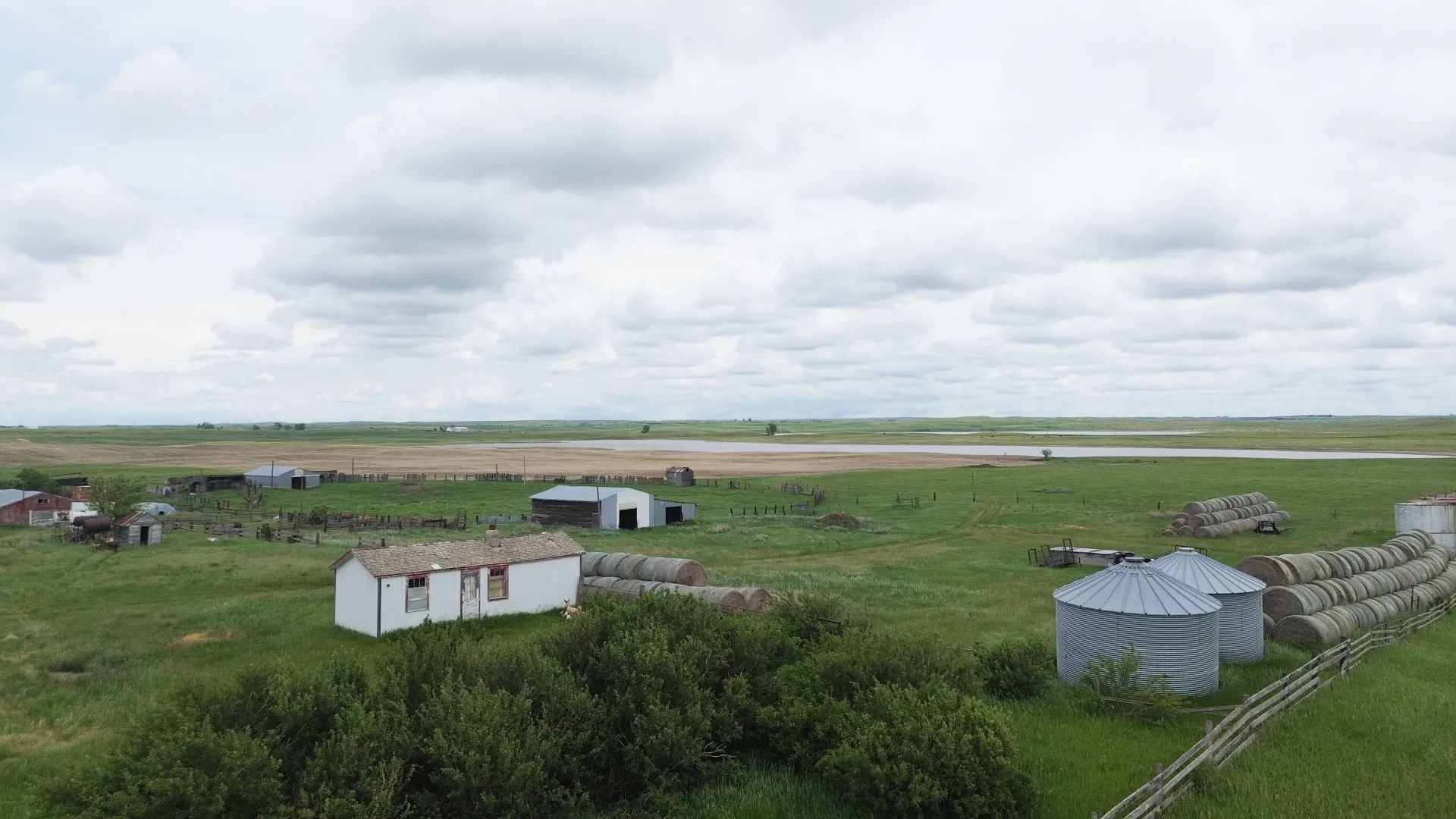
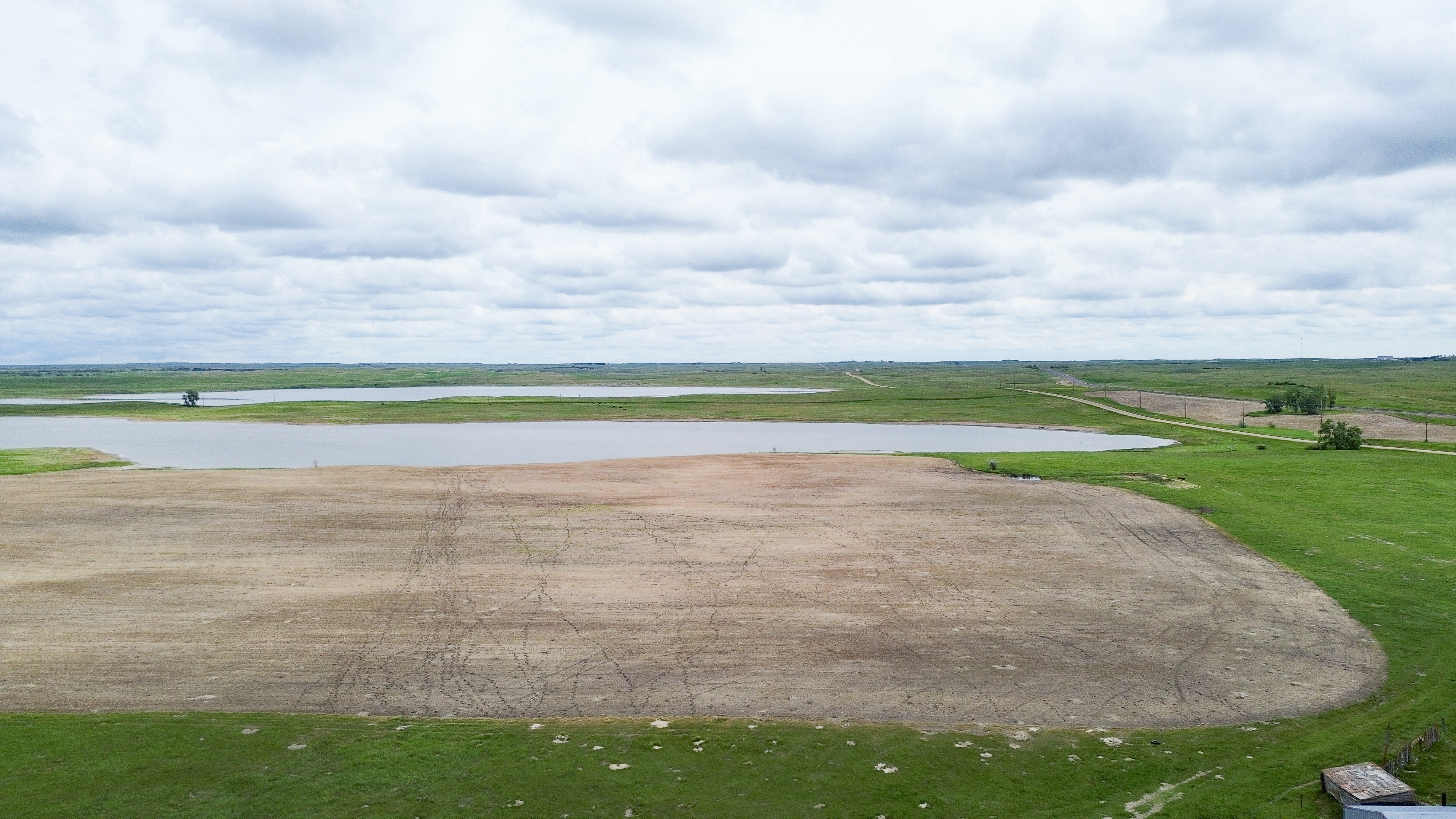
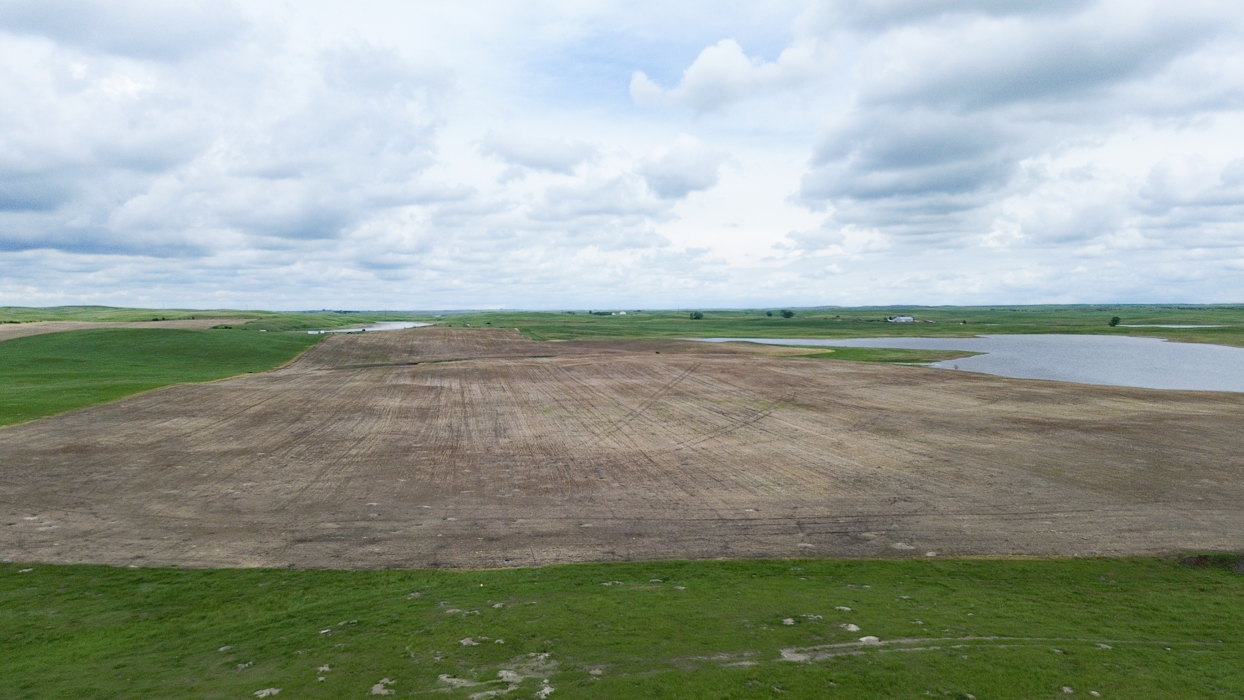
Parcel 8 is one mile east of Palermo on the north side of Old Hwy. #2. It consists of mostly cropland with some pasture, habitat, and some acreage of water. The farmstead located on the southern portion of the property contains 39 +/- acres and will be surveyed and sold separately as Parcel 13. The property is subject to a USFW Wetland Easement, an R&T Water Supply Easement, a Mountrail Williams Electrical Easement, and a Pipeline Right-of-Way Easement.
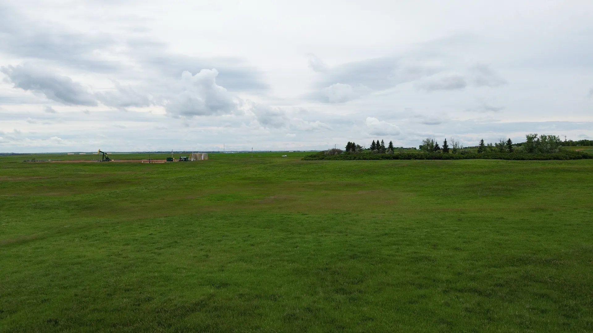
Please Note: The Seller sold approximately $130,000 of water from Parcel 8 in 2025. It is anticipated that one or two wells may be drilled in the area in 2027 and the sellers have been approached about additional water for construction purposes. It will be up to the new owner to negotiate and approve a sale of water with the interested parties. Seller’s post this note for the potential buyer’s information only, and give no assurance that a water sale is imminent.


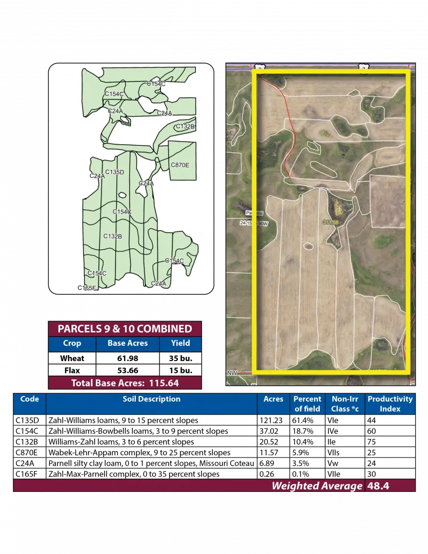
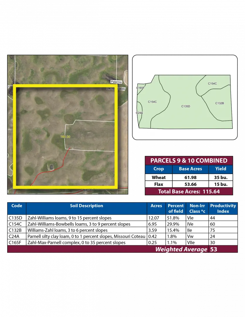
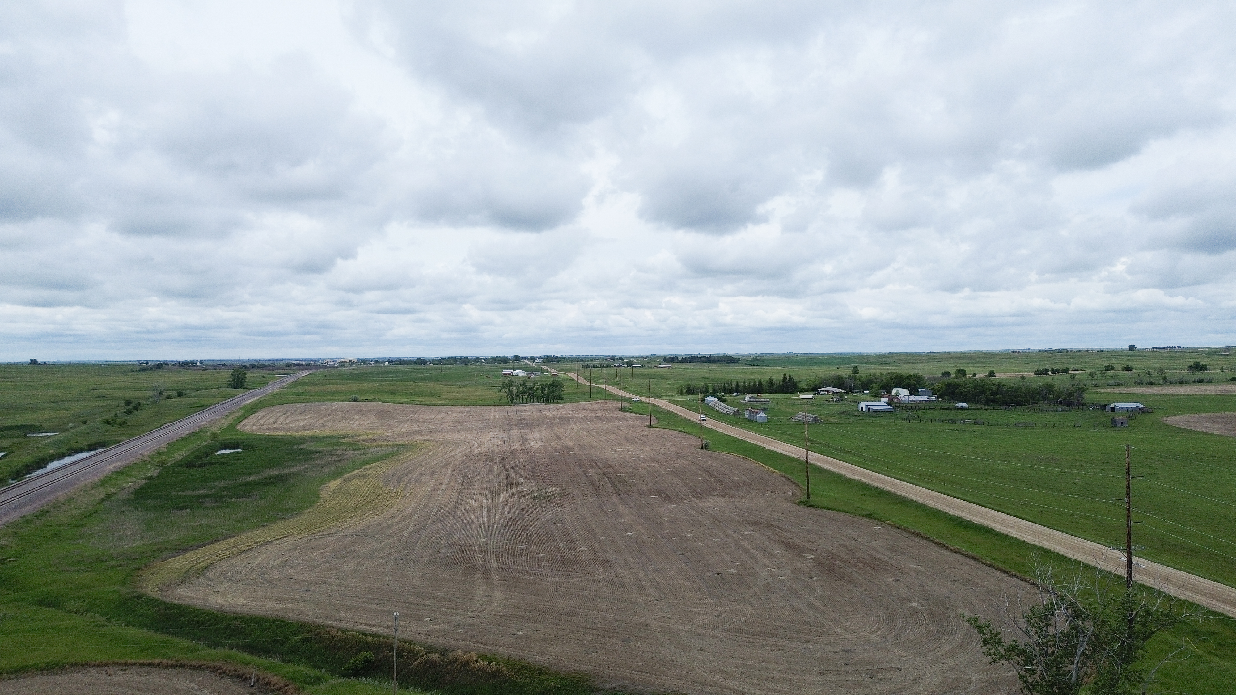
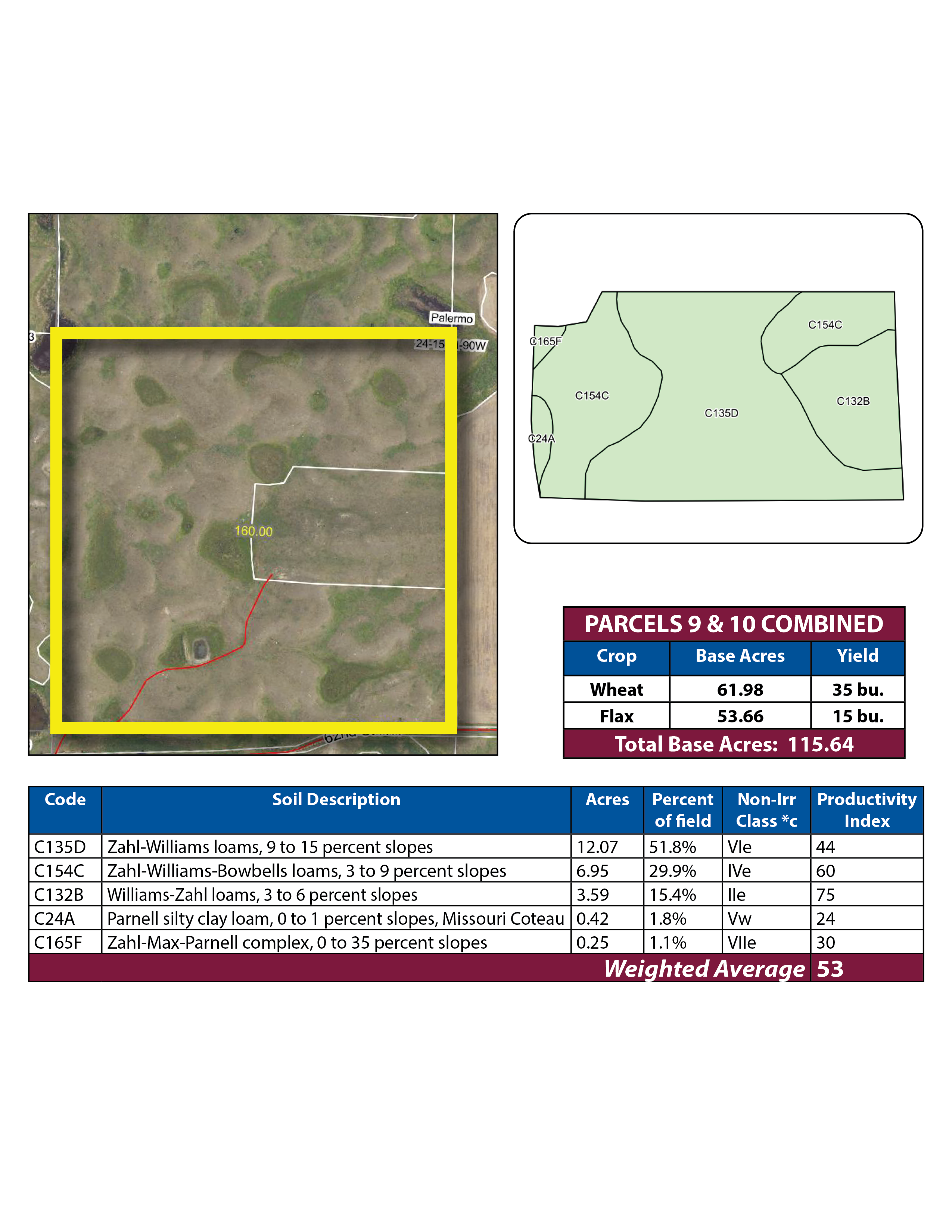
Parcel 9 • Mountrail County, ND
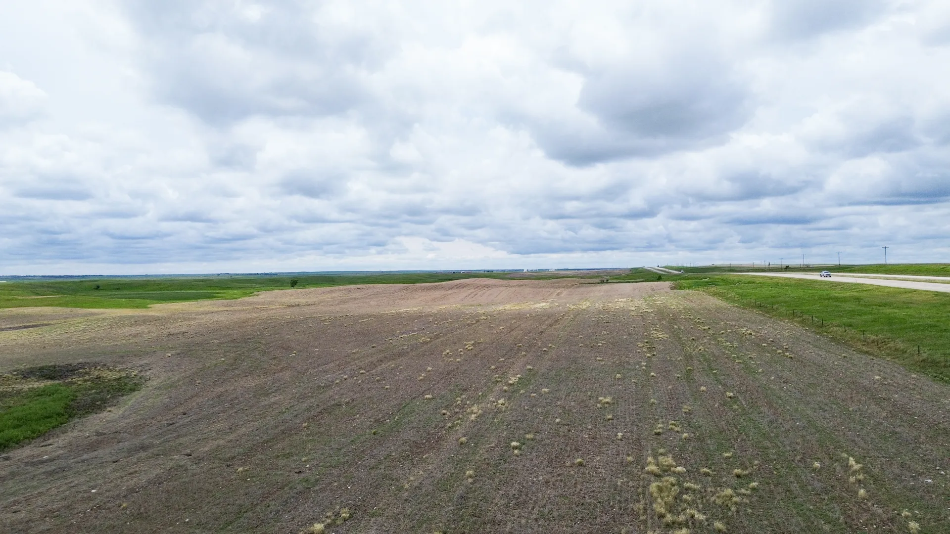
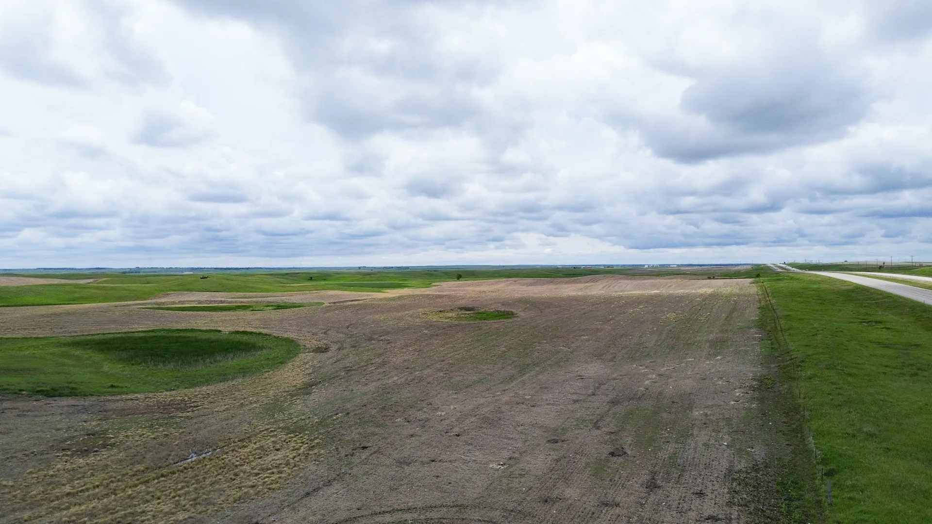
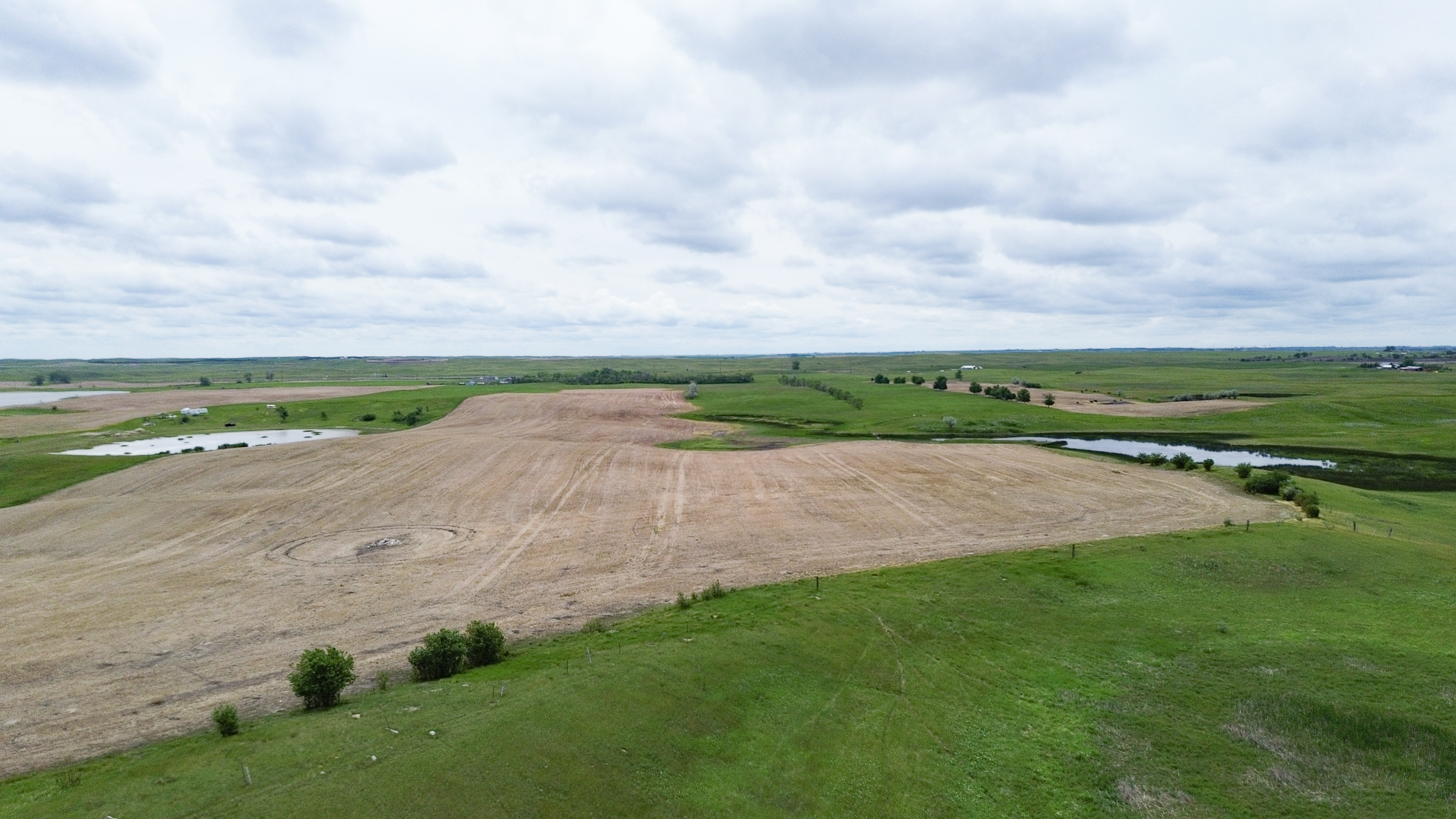
Parcel 9 is ¾ mile south of Palermo, and 2 miles east on US Hwy. #2 to the northeast corner and 72nd Ave NW.. It consists of productive cropland with good access with Old Hwy. #2 on the north side. The property is subject to a USFW Wetland Easement, an active Oil and Gas Lease, a fiber easement along Hwy. #3, and the SE¼ of the property is subject to a Pipeline Right-of-Way Easement.
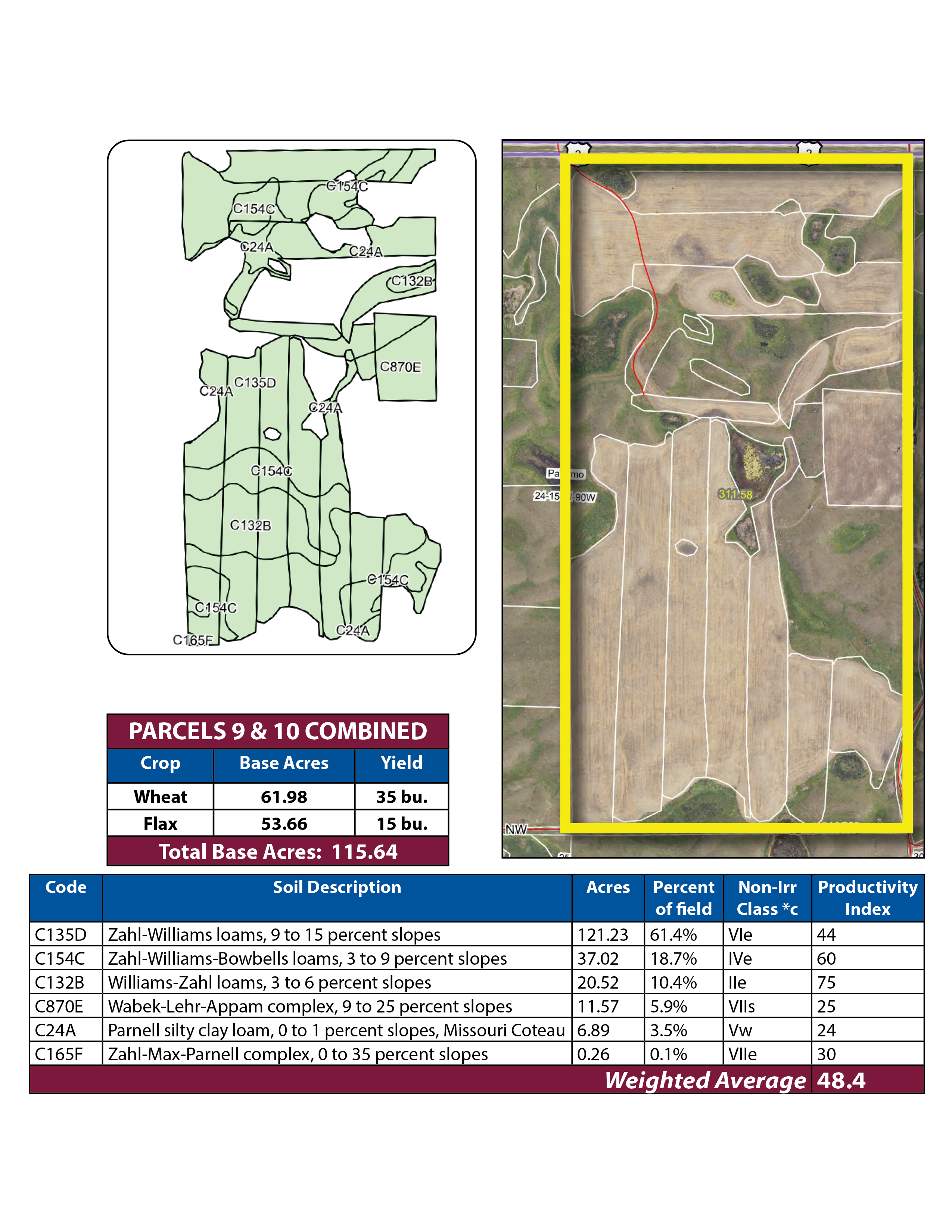
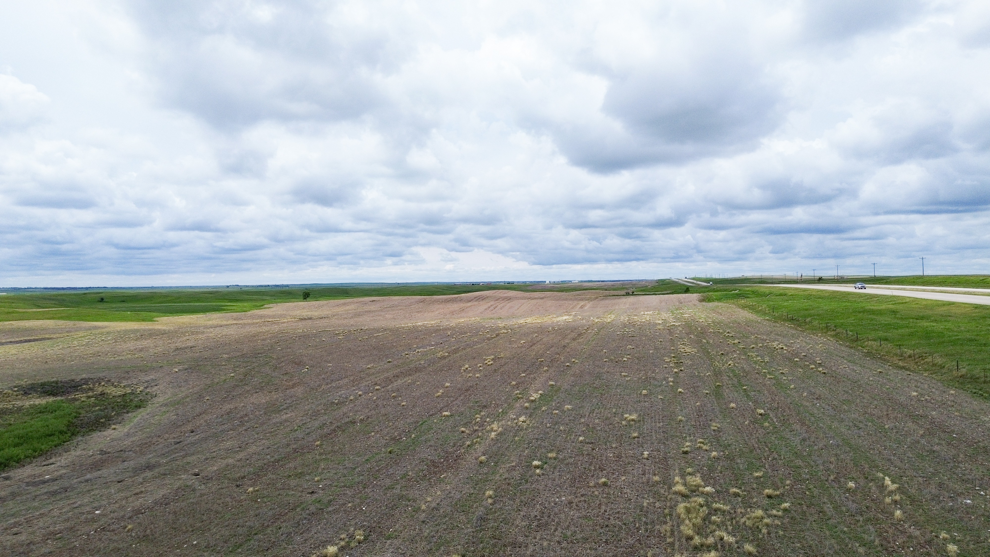
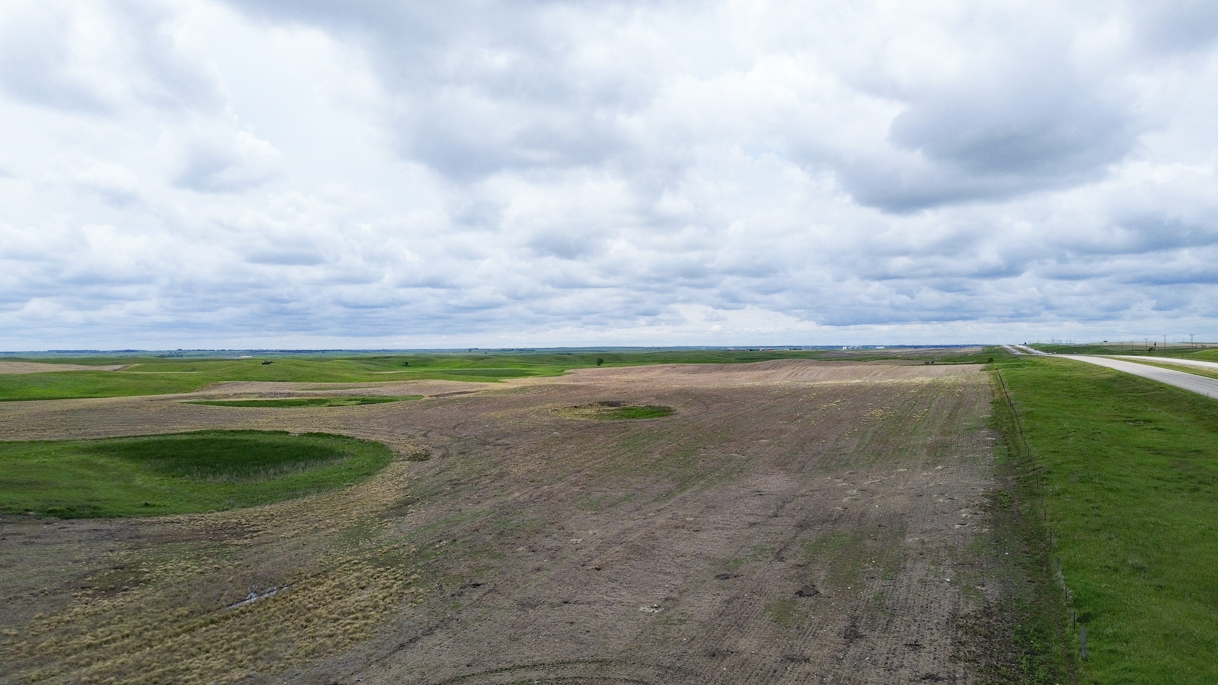


Parcel 10 • Mountrail County, ND
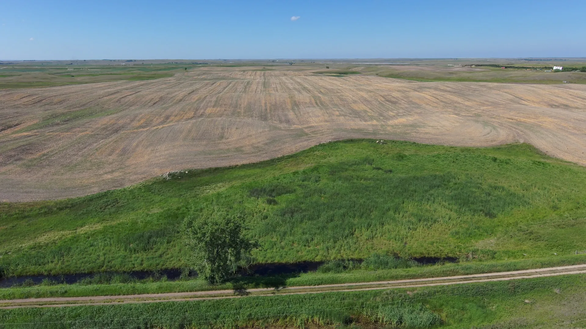
This parcel is ¾ mile south of Palermo and 2 miles east on US Hwy. #2, one mile south on 72nd Ave. NW then ½ mile west to the southeast corner of parcel 10. Good pastureland with access off 62nd St. The property is subject to a USFW Wetland Easement, and an active Oil and Gas Lease.


Parcel 11 • Mountrail County, ND
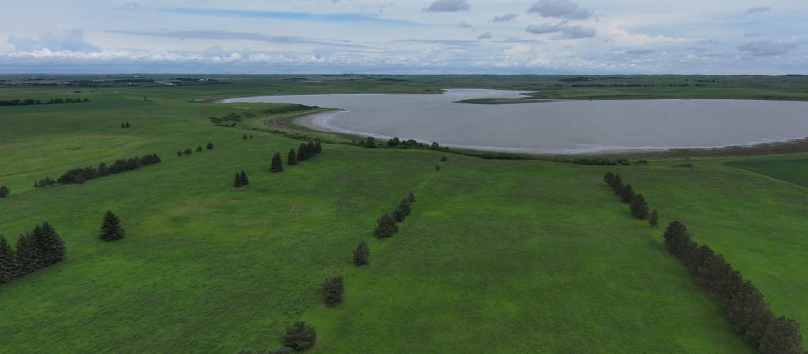
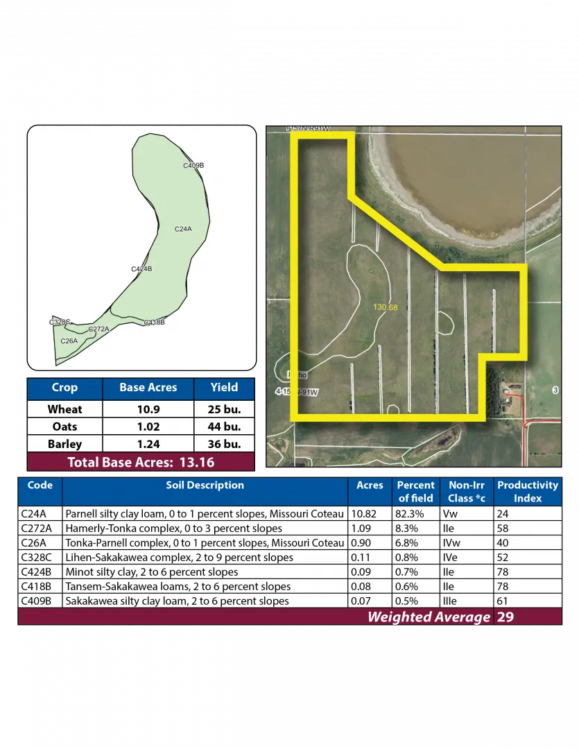
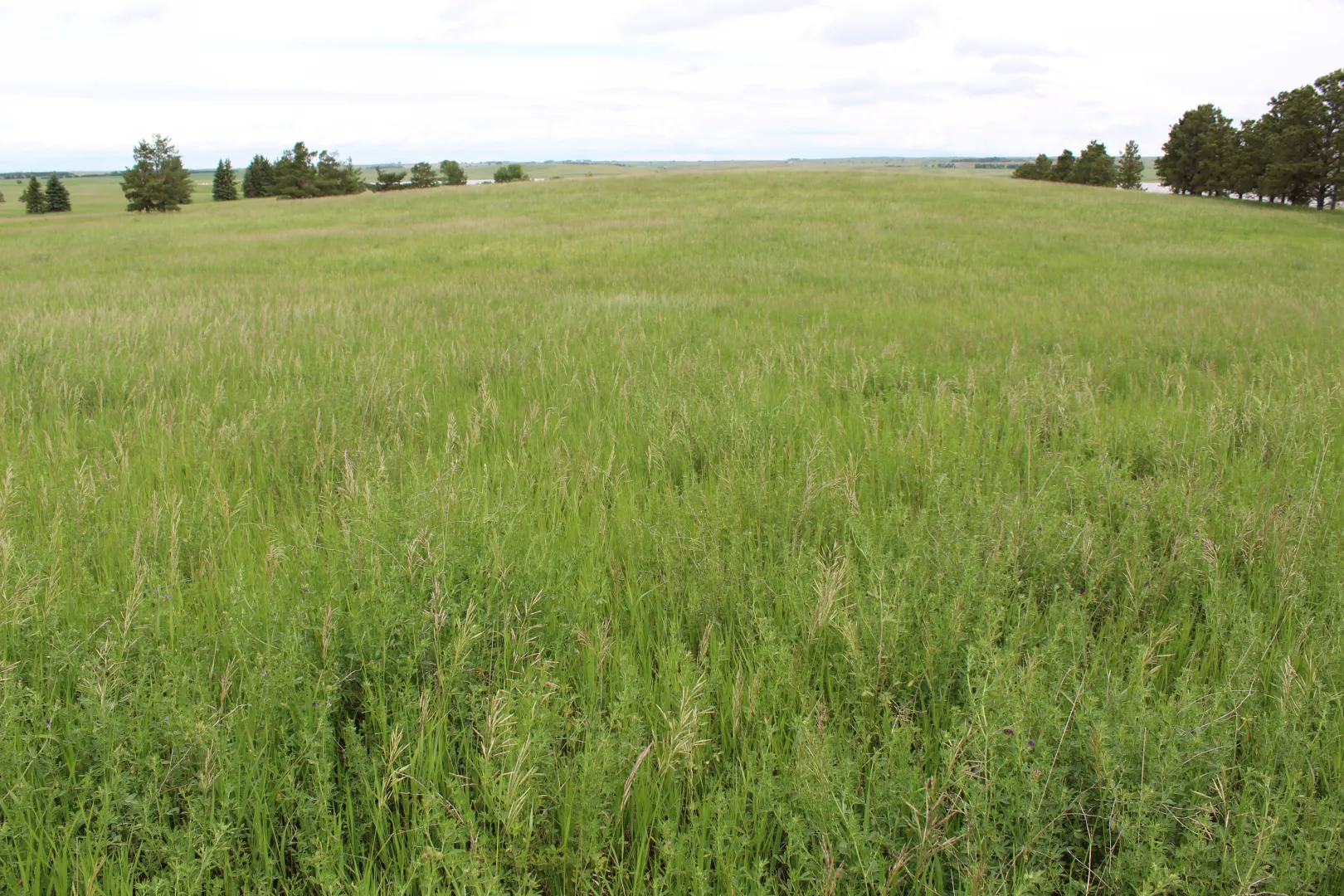
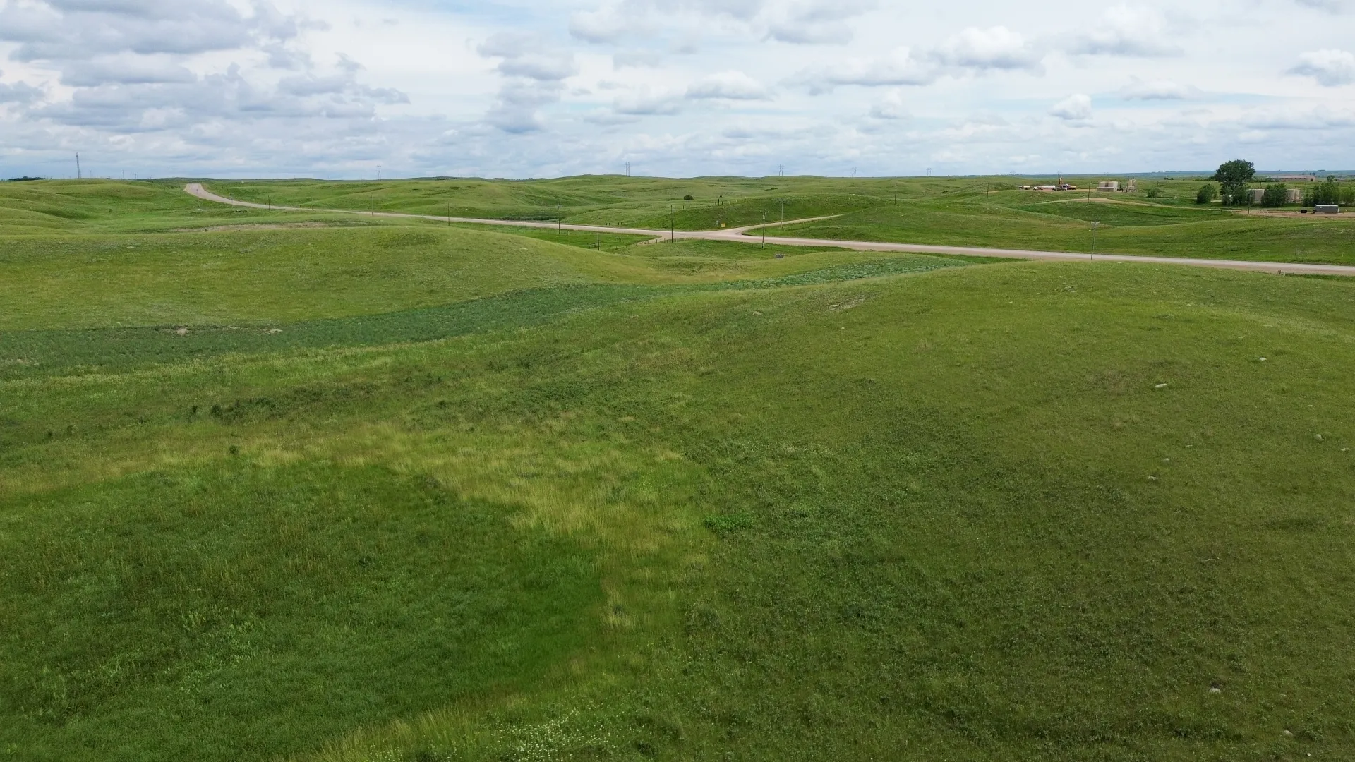
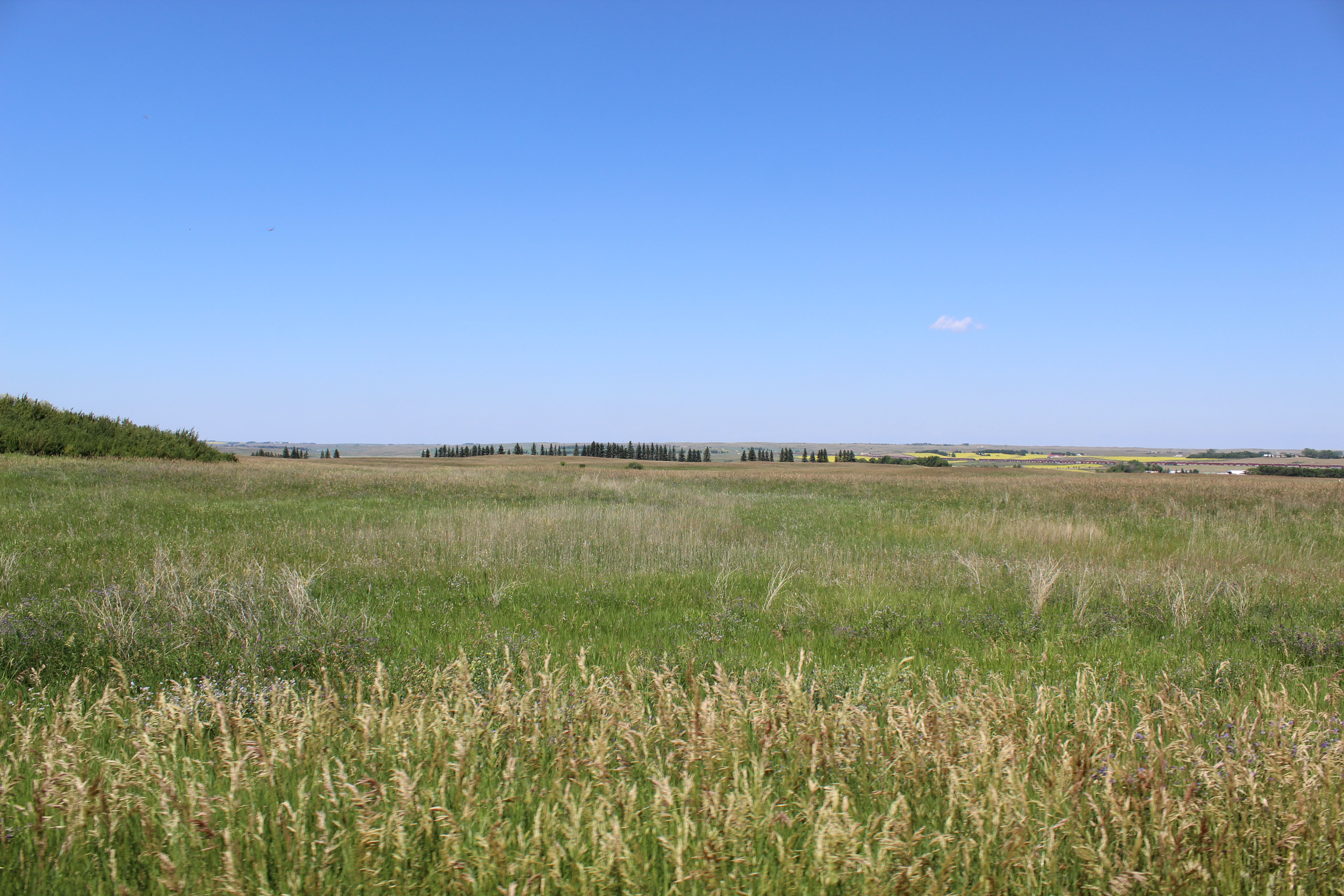
Parcel 11 is 7 miles north of Palermo on 71st Ave. NW, then ½ mile west on section line to the southeast corner of the mile-long quarter. It is pastureland with numerous potholes and some water. There are No USFW Easements on this parcel. This parcel is landlocked and has limited access due to the Road Construction on County Rd 31.
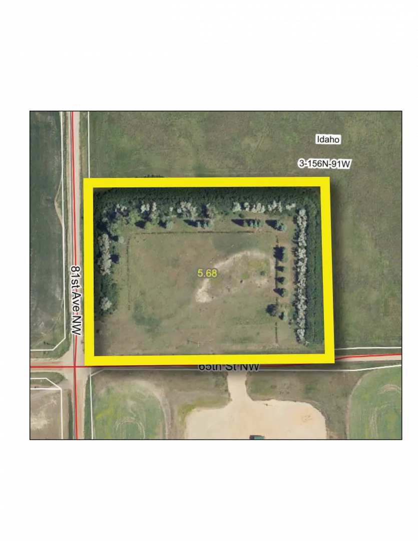
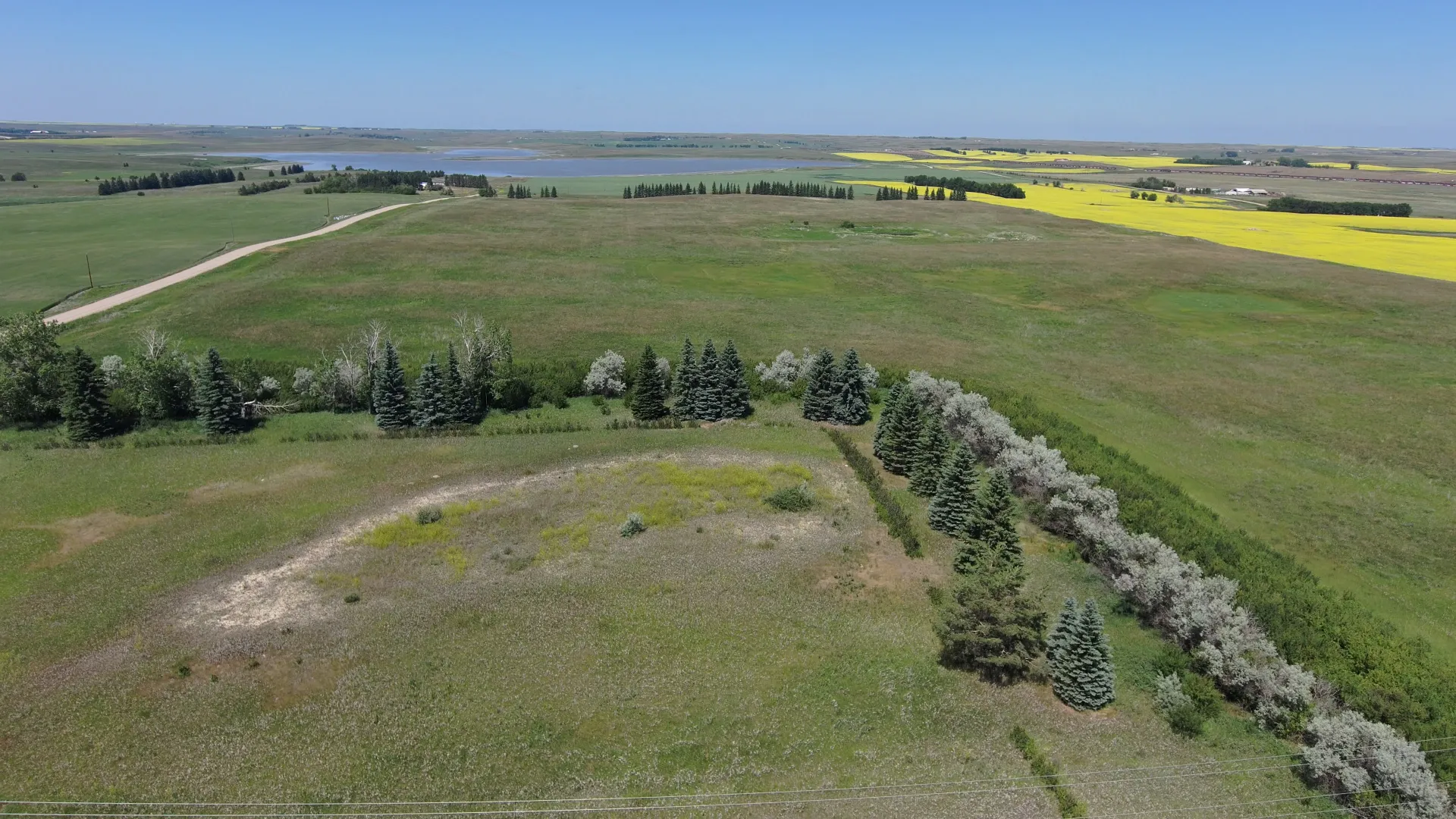
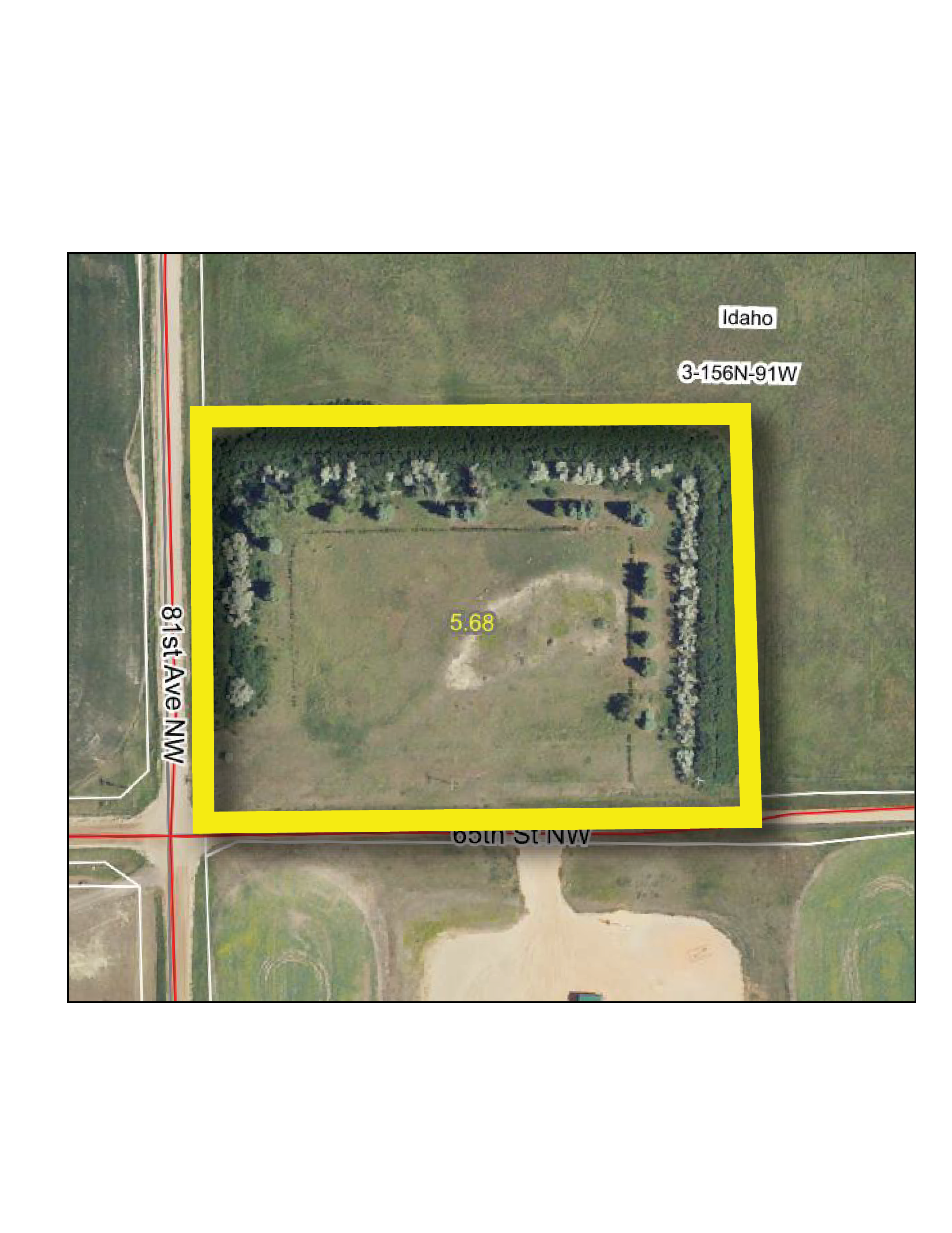
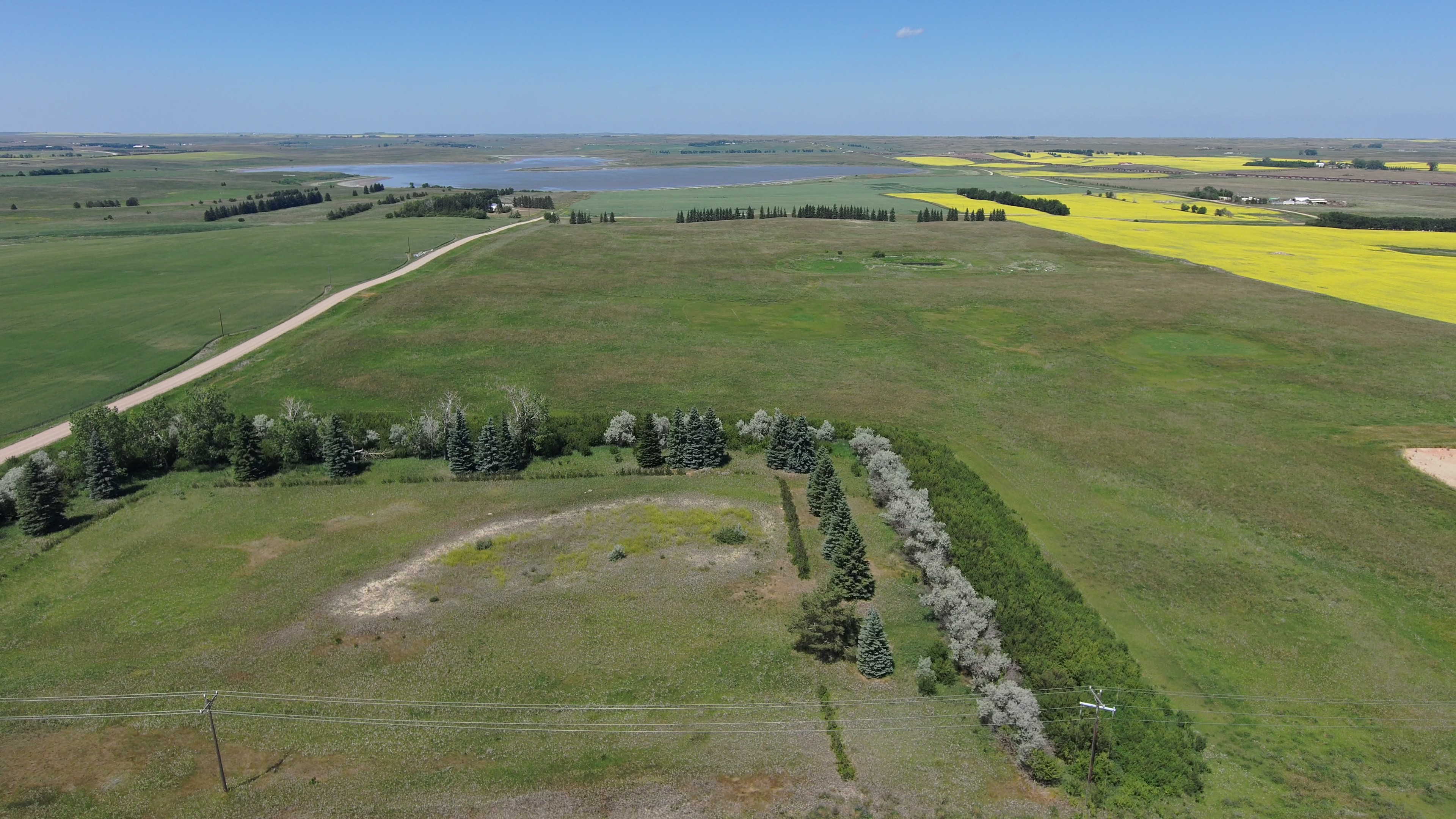
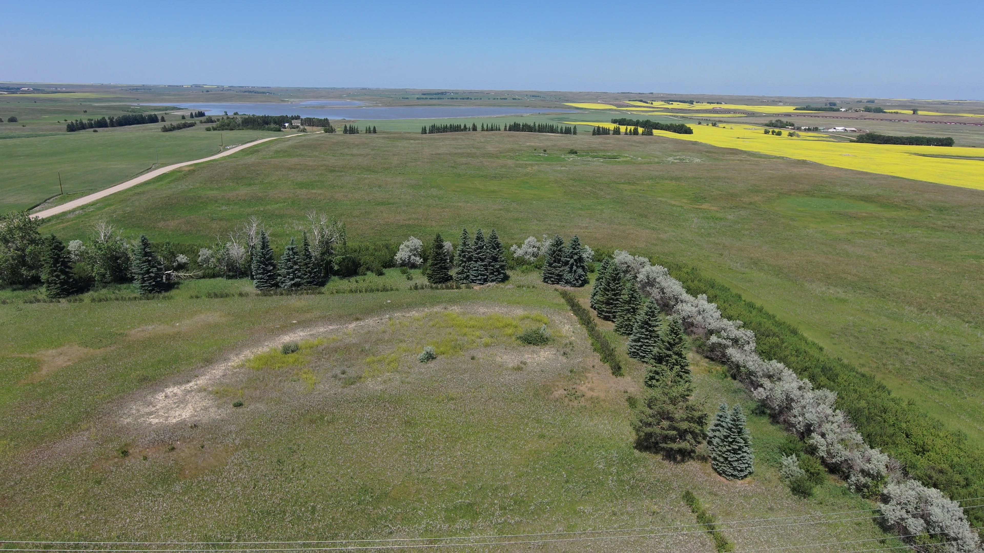
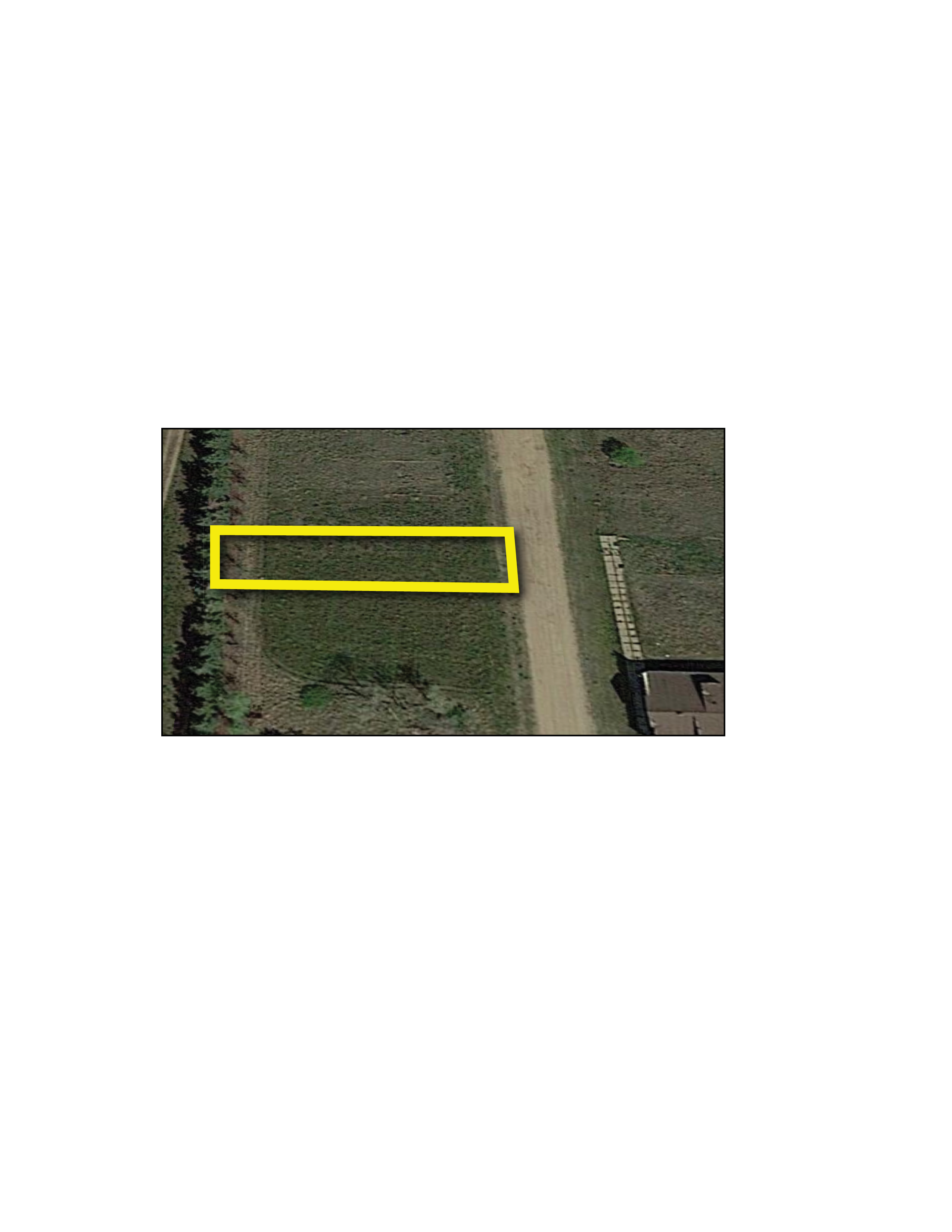
Parcel 12
This parcel is perfect for a future building site and contains a 5.68 +/- acre treed lot in the southwest corner of Section 3. The property is subject to an active oil and gas lease, a USFW Wetland Easement, an R&T Water Supply easement, and a pipeline right-of-way.

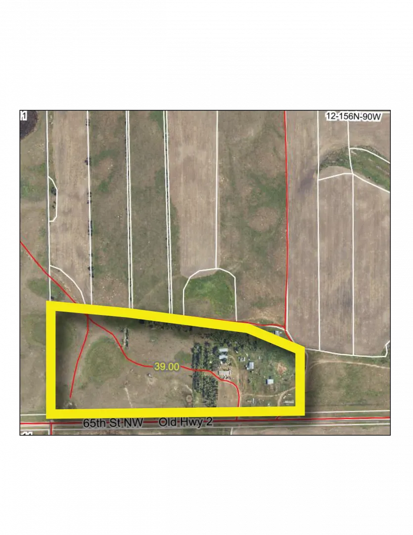
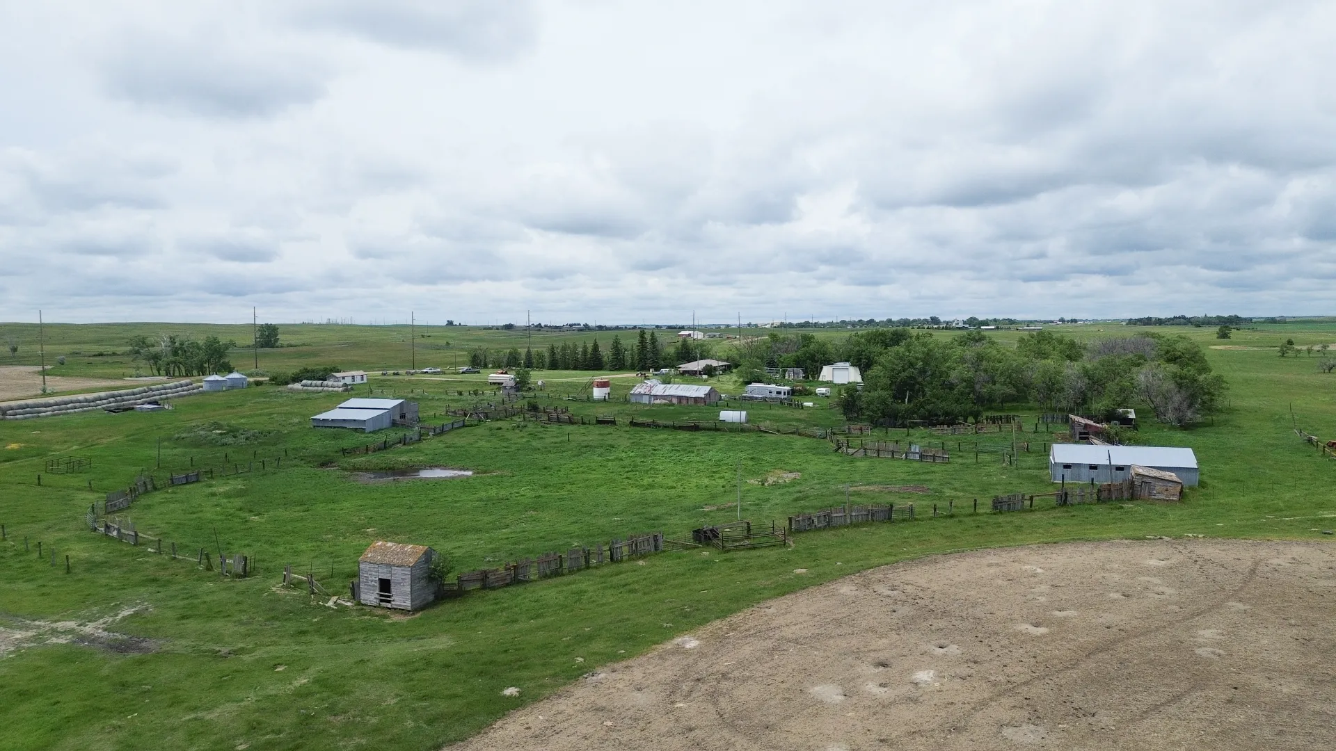
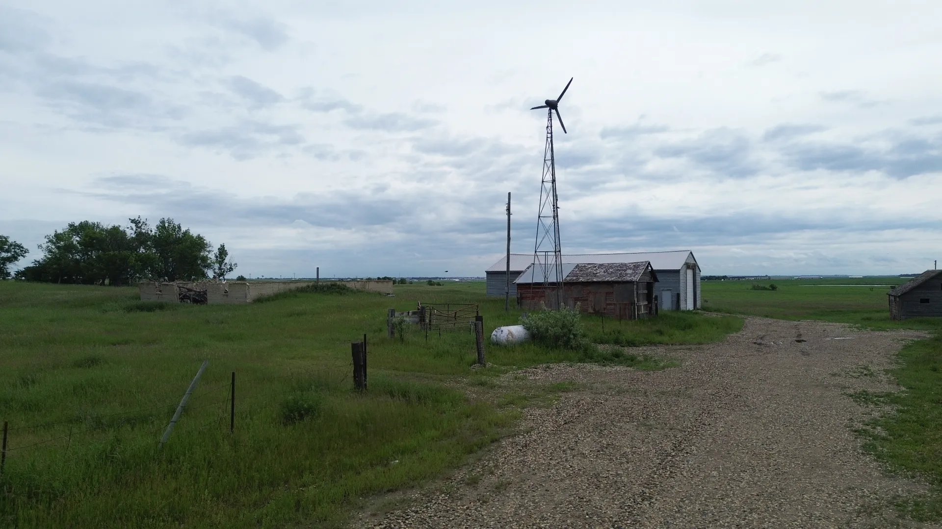
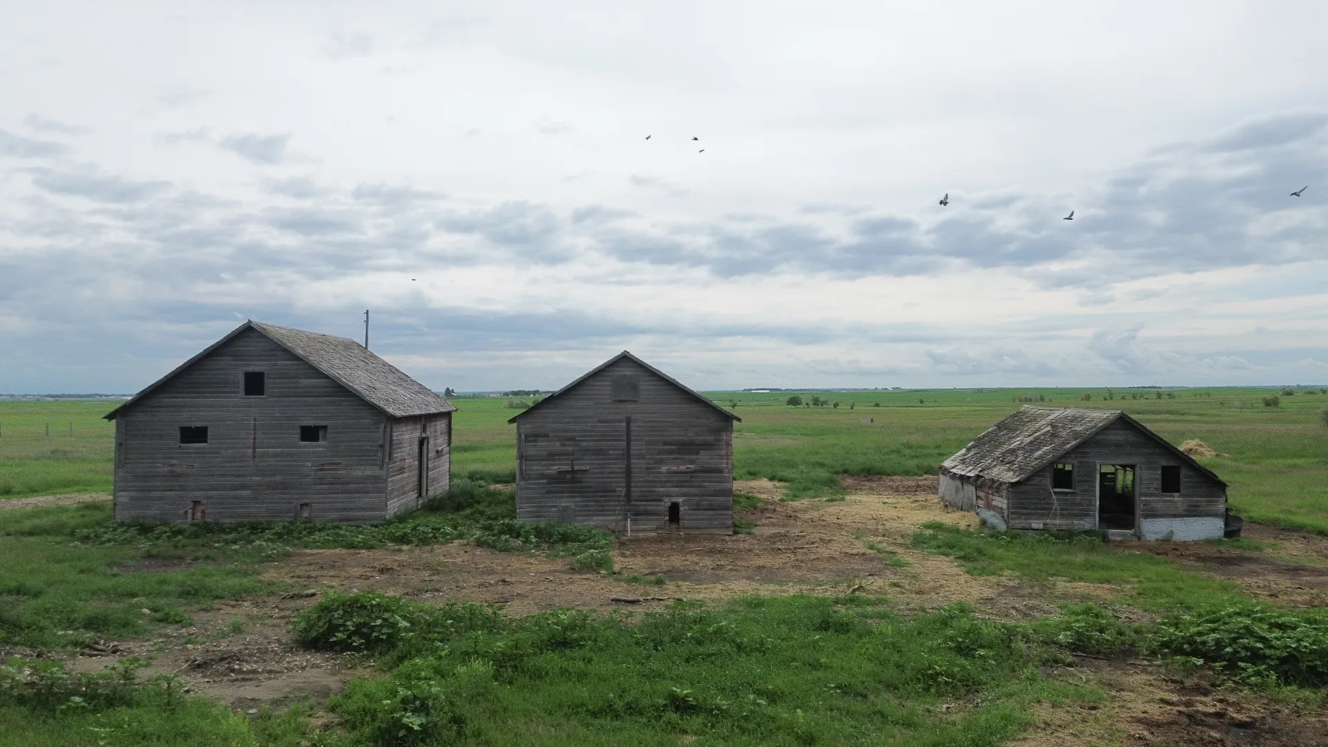
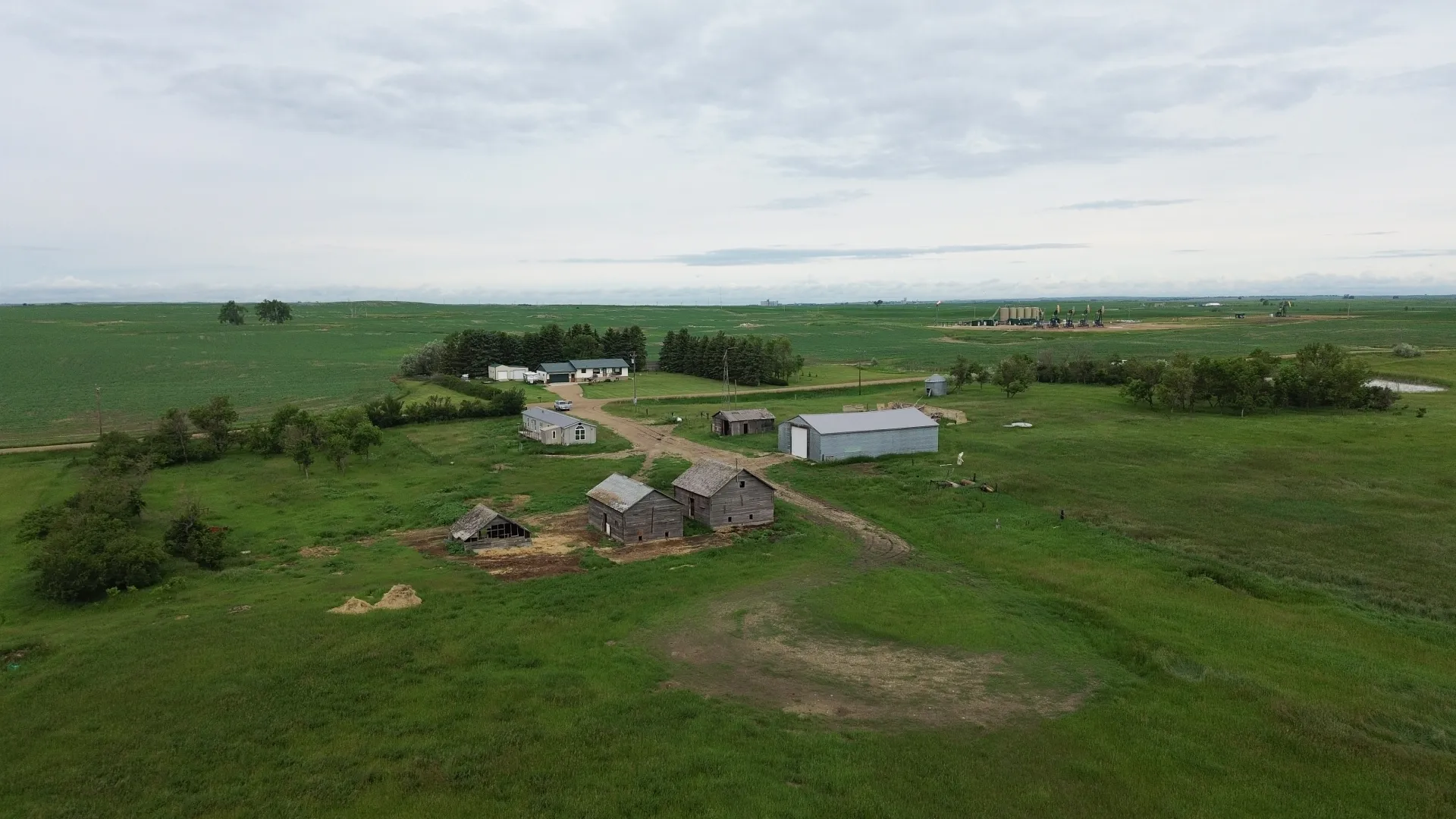
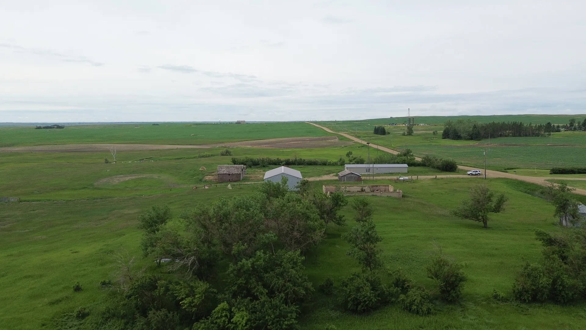
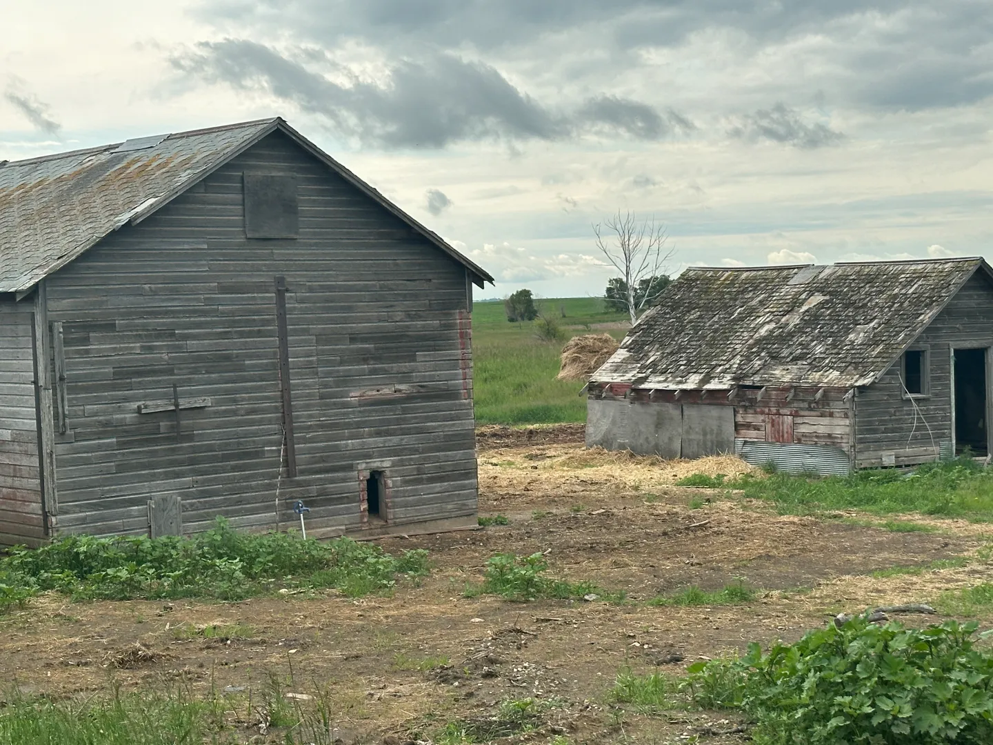
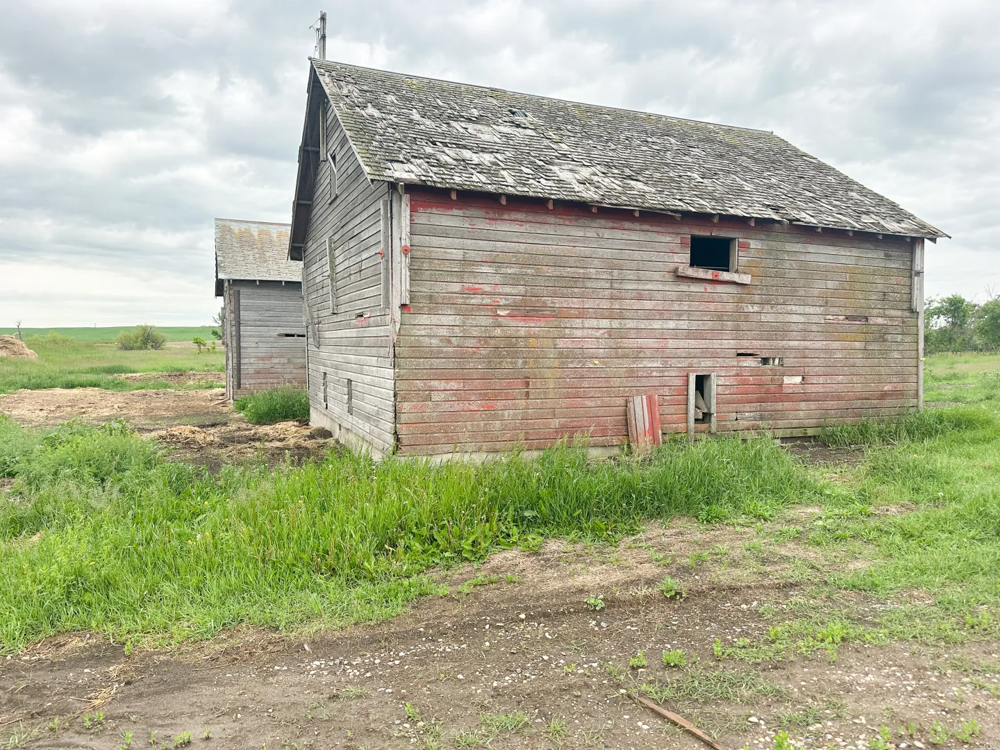
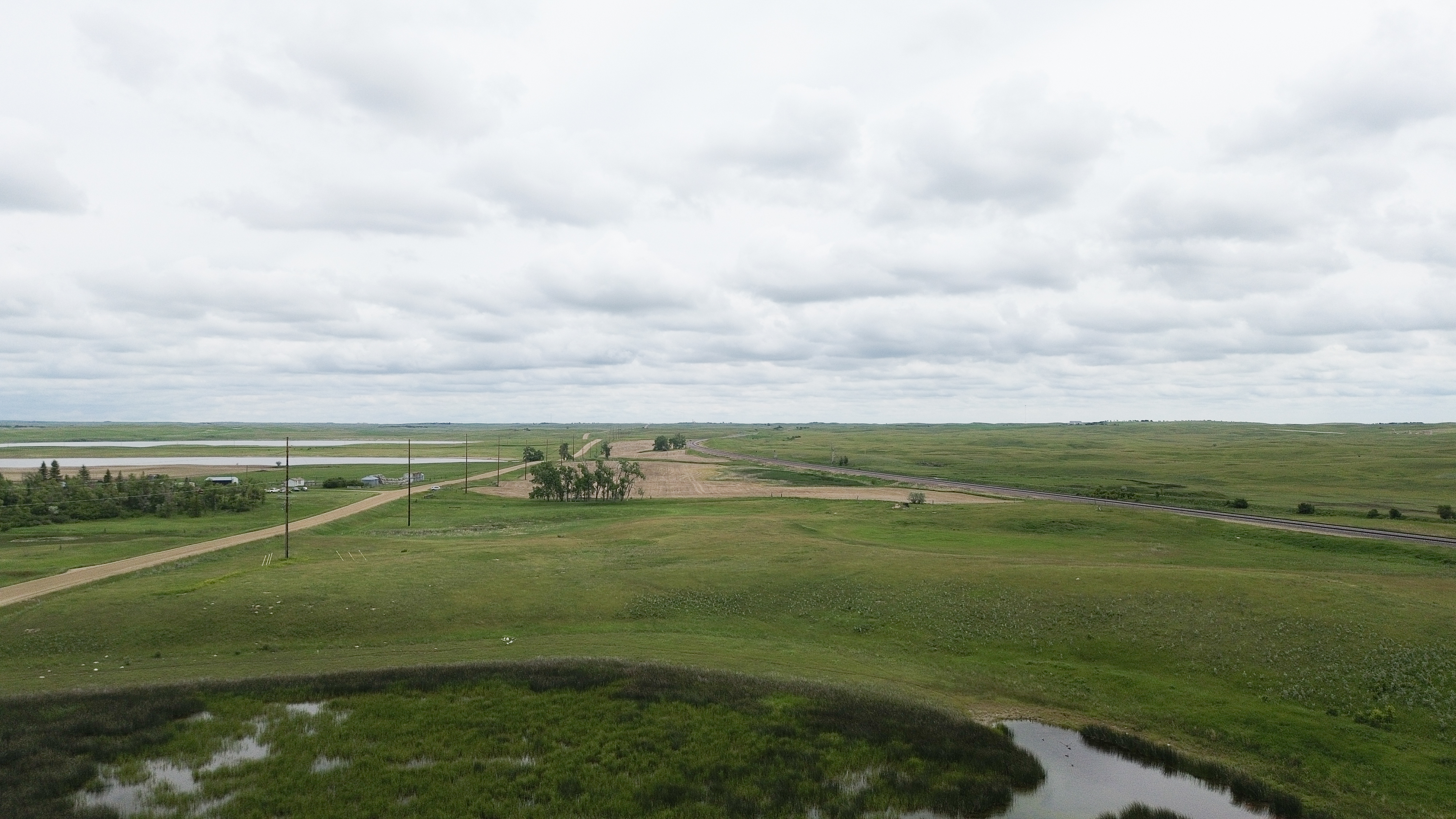
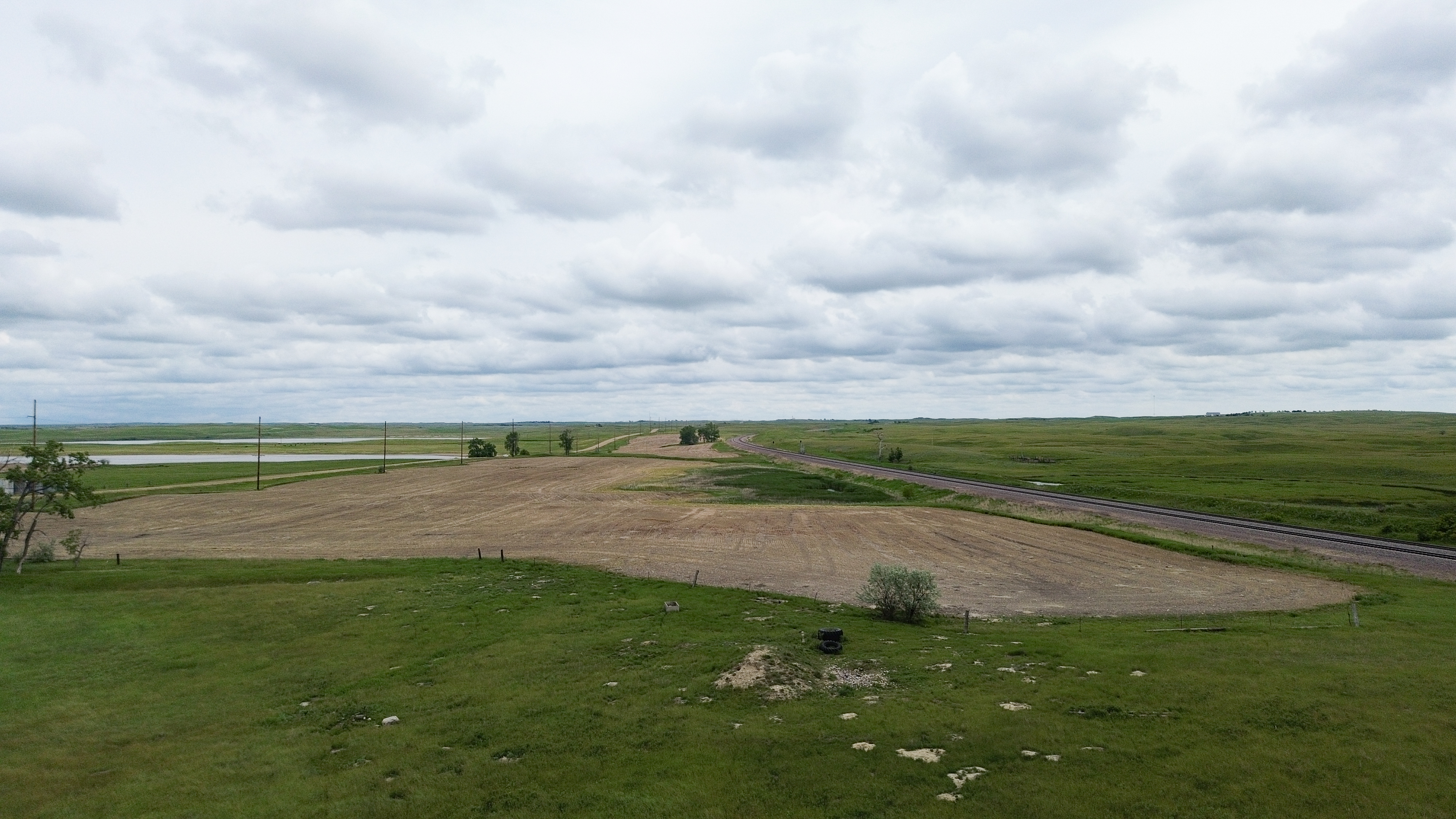
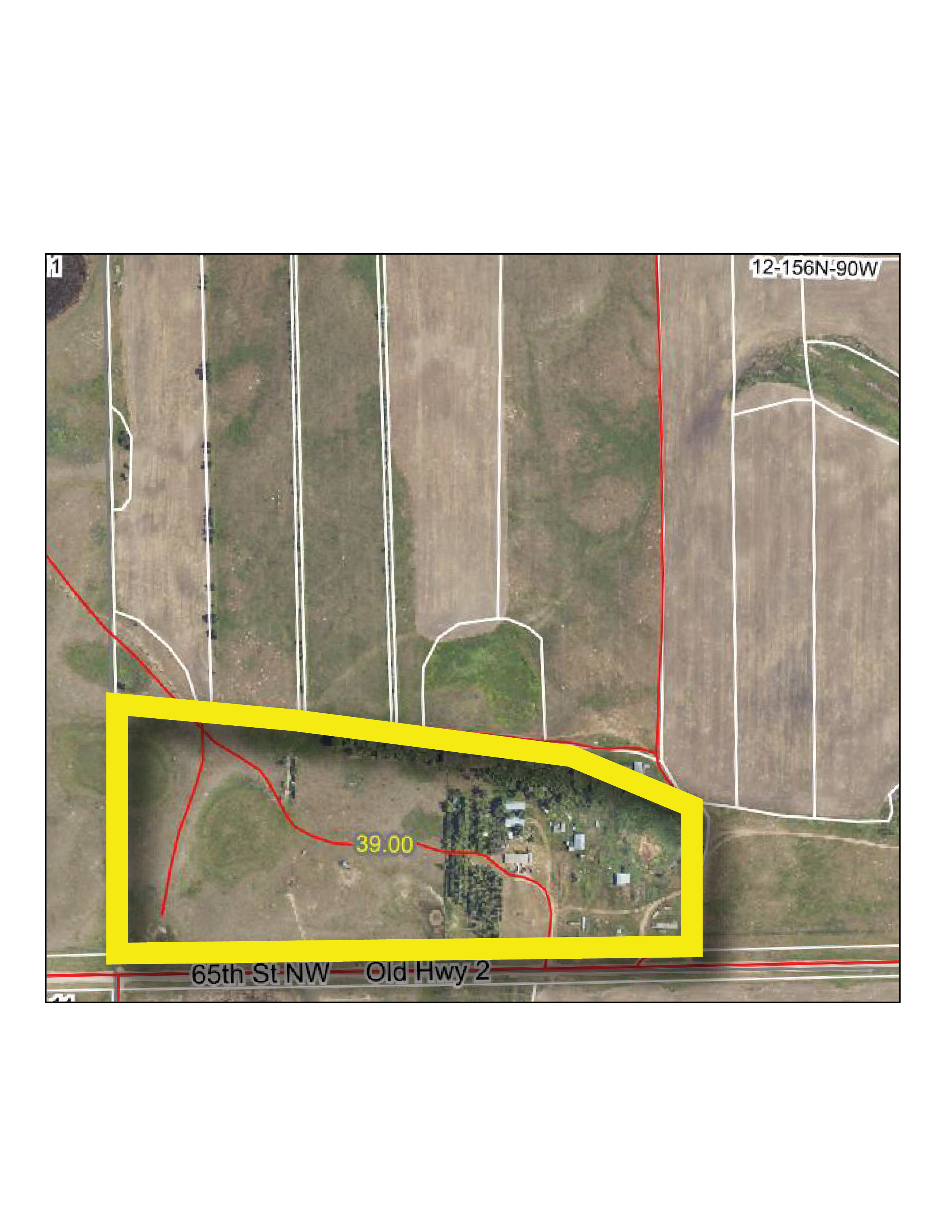
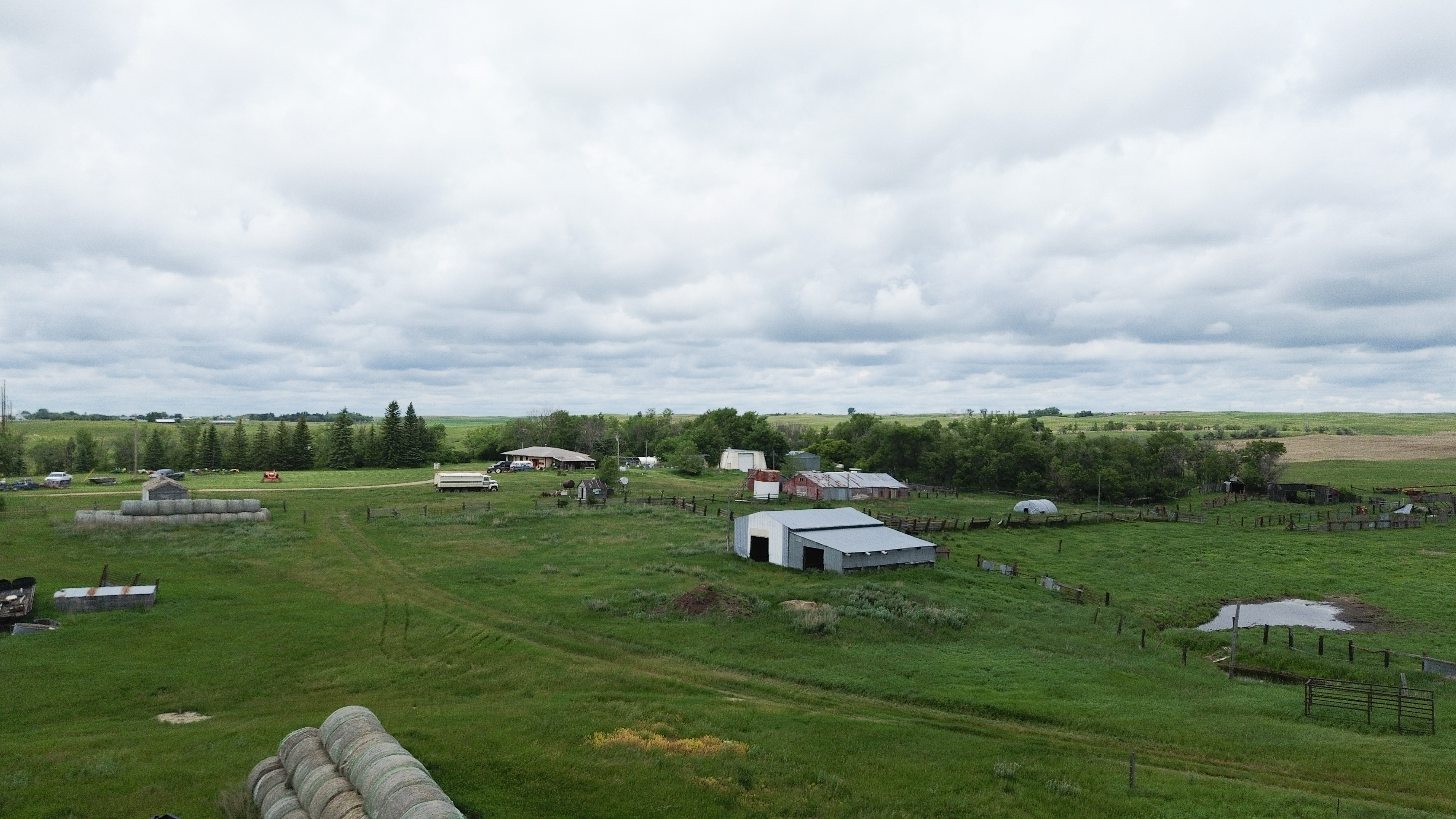
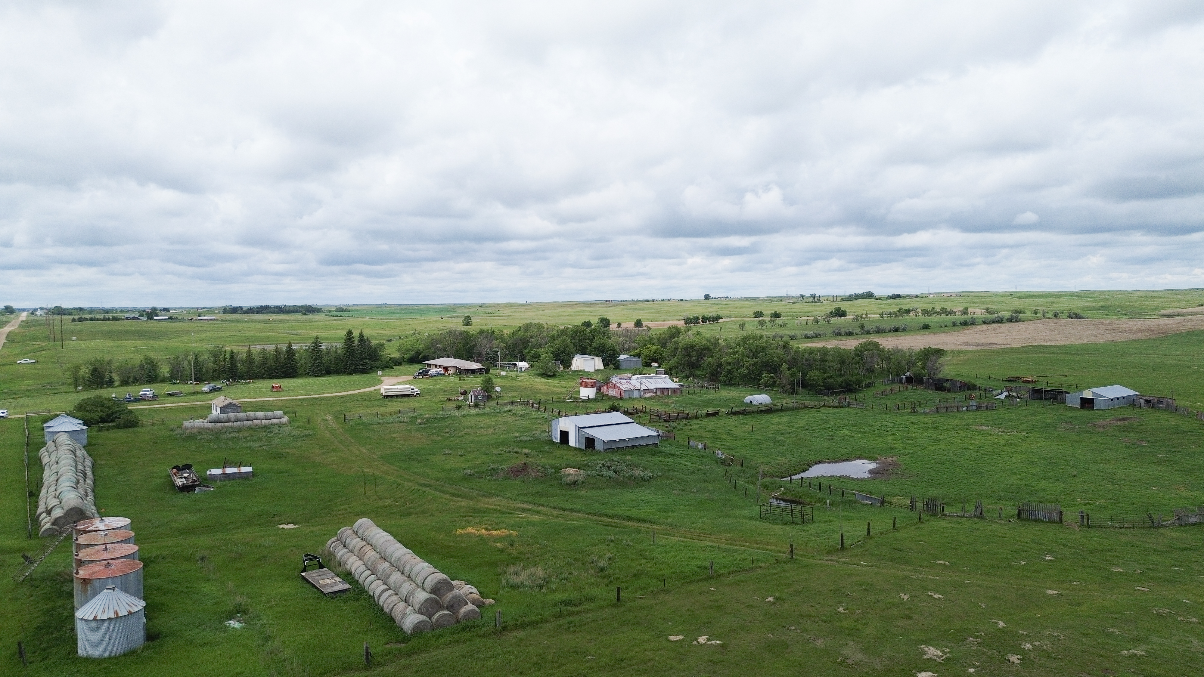
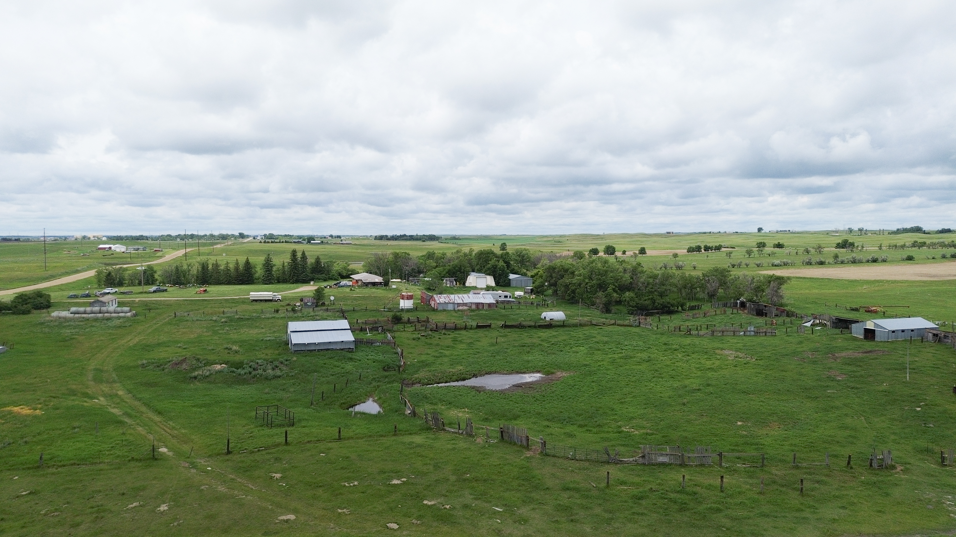
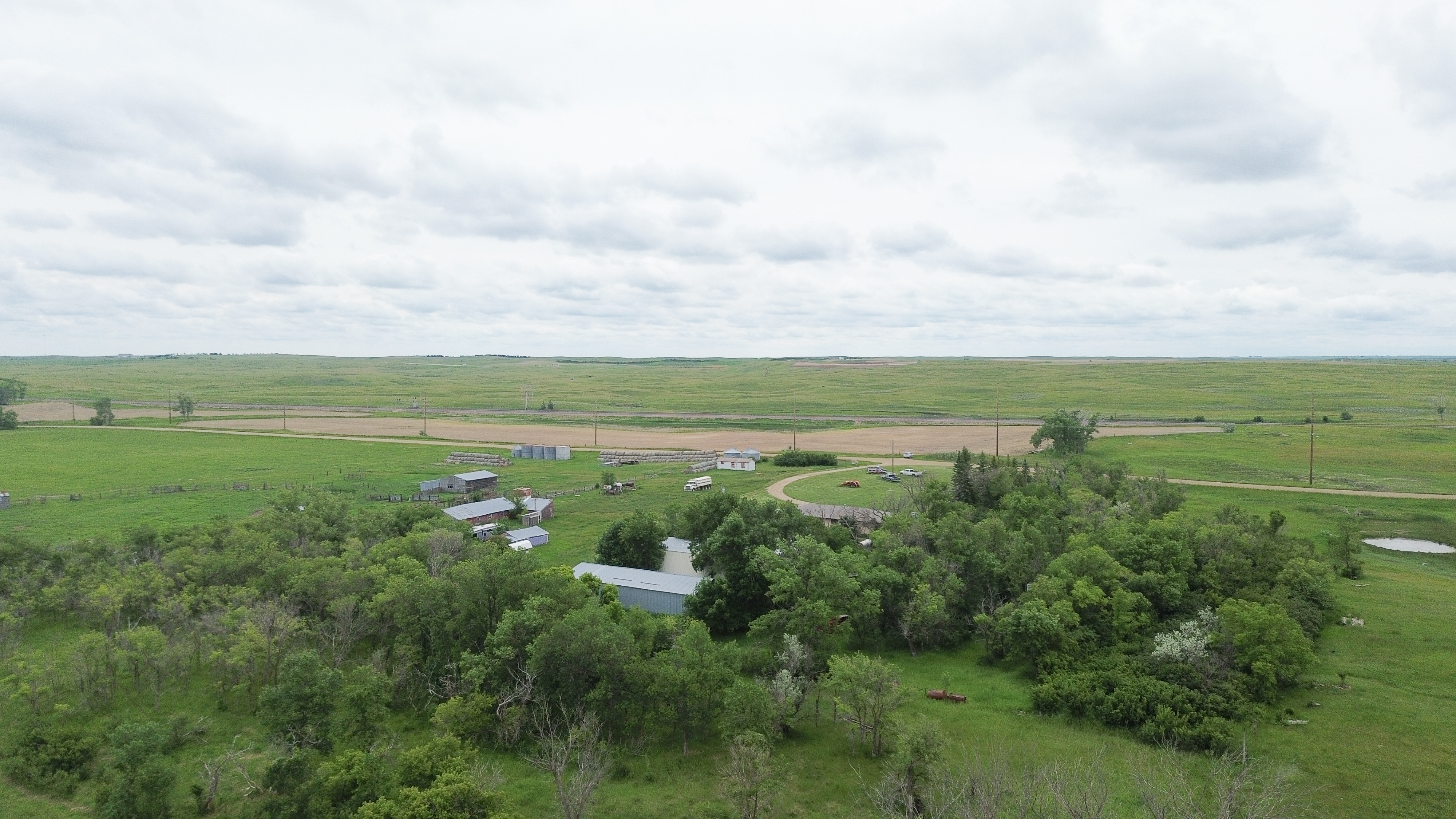
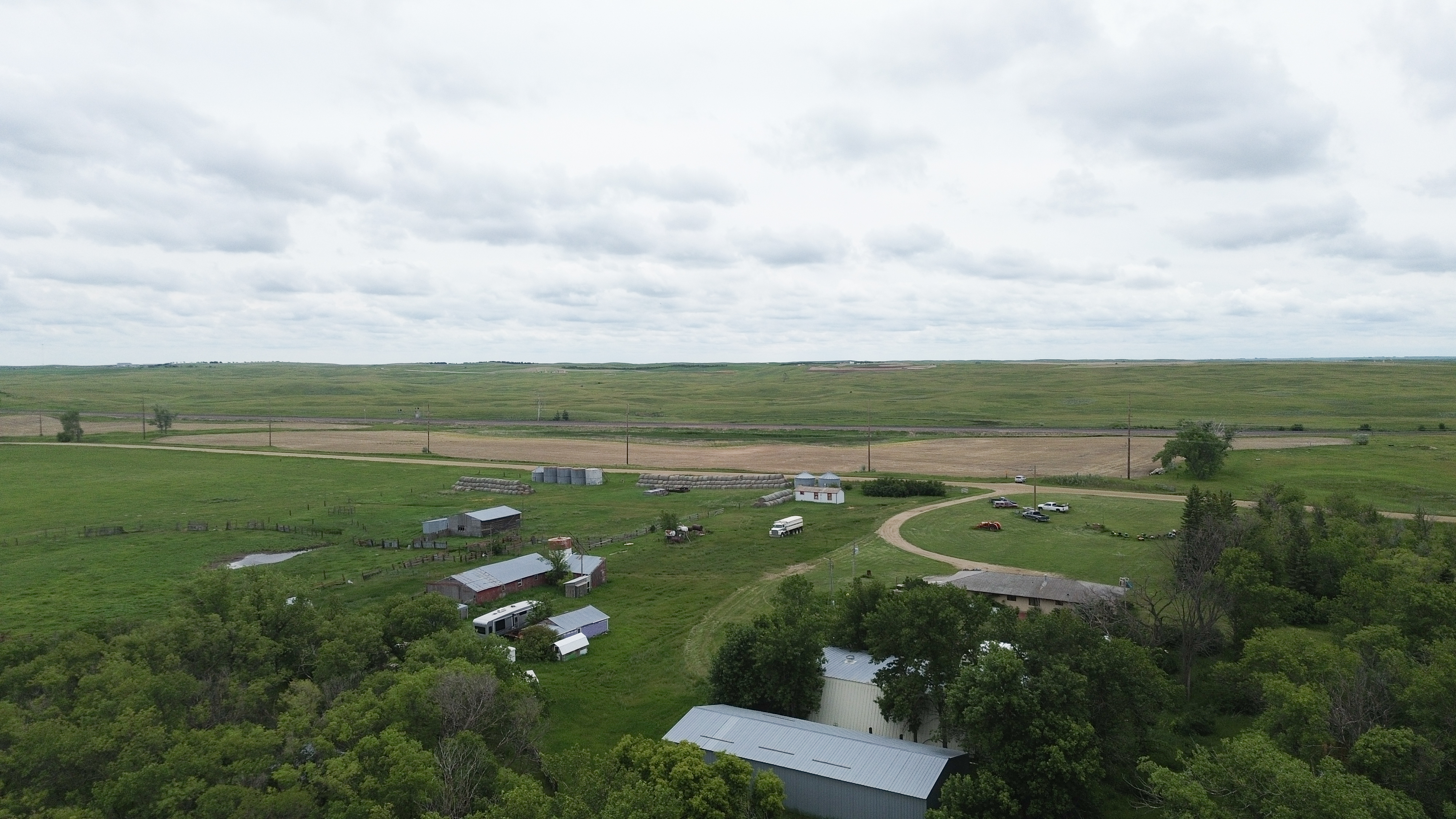
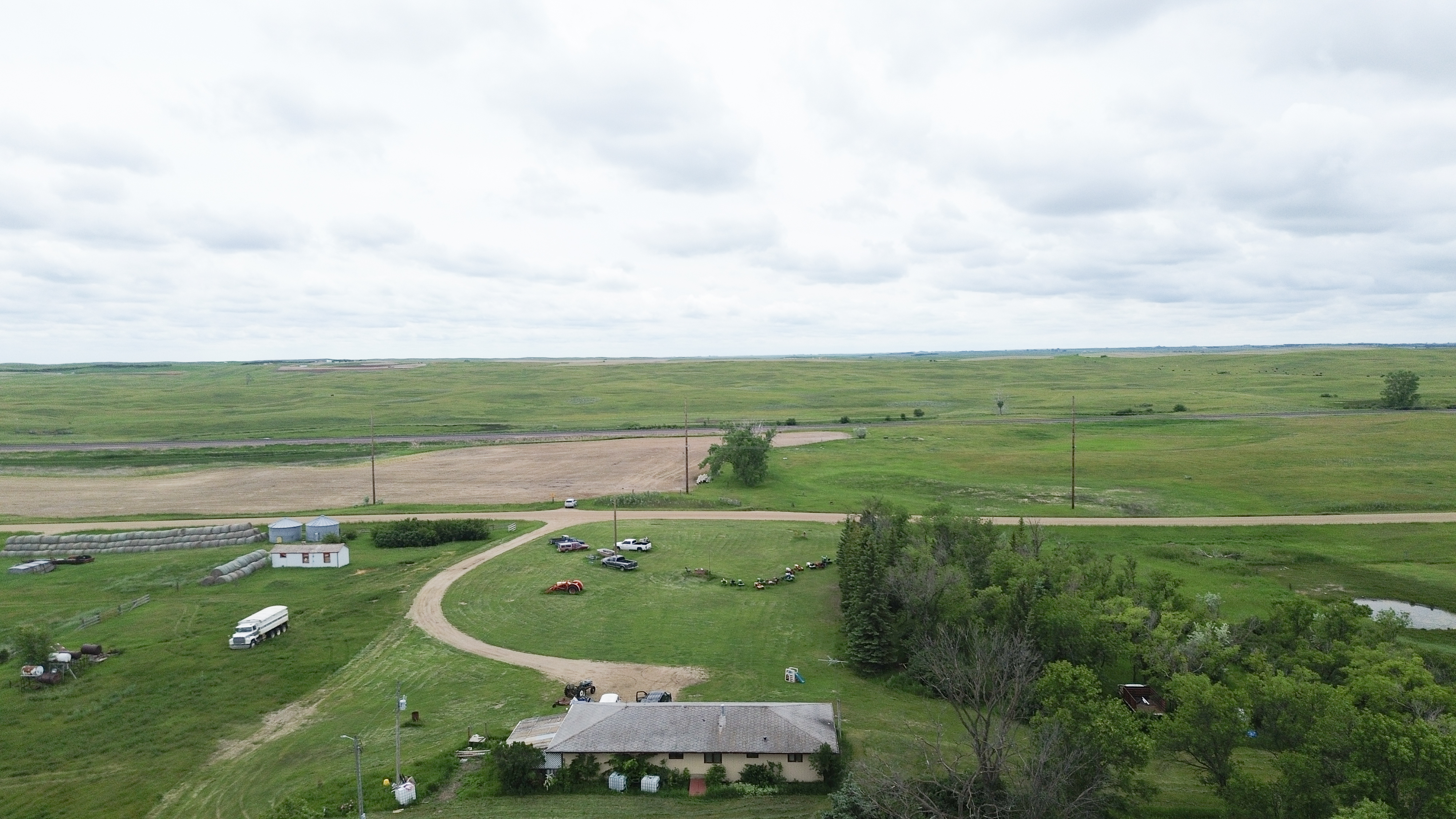
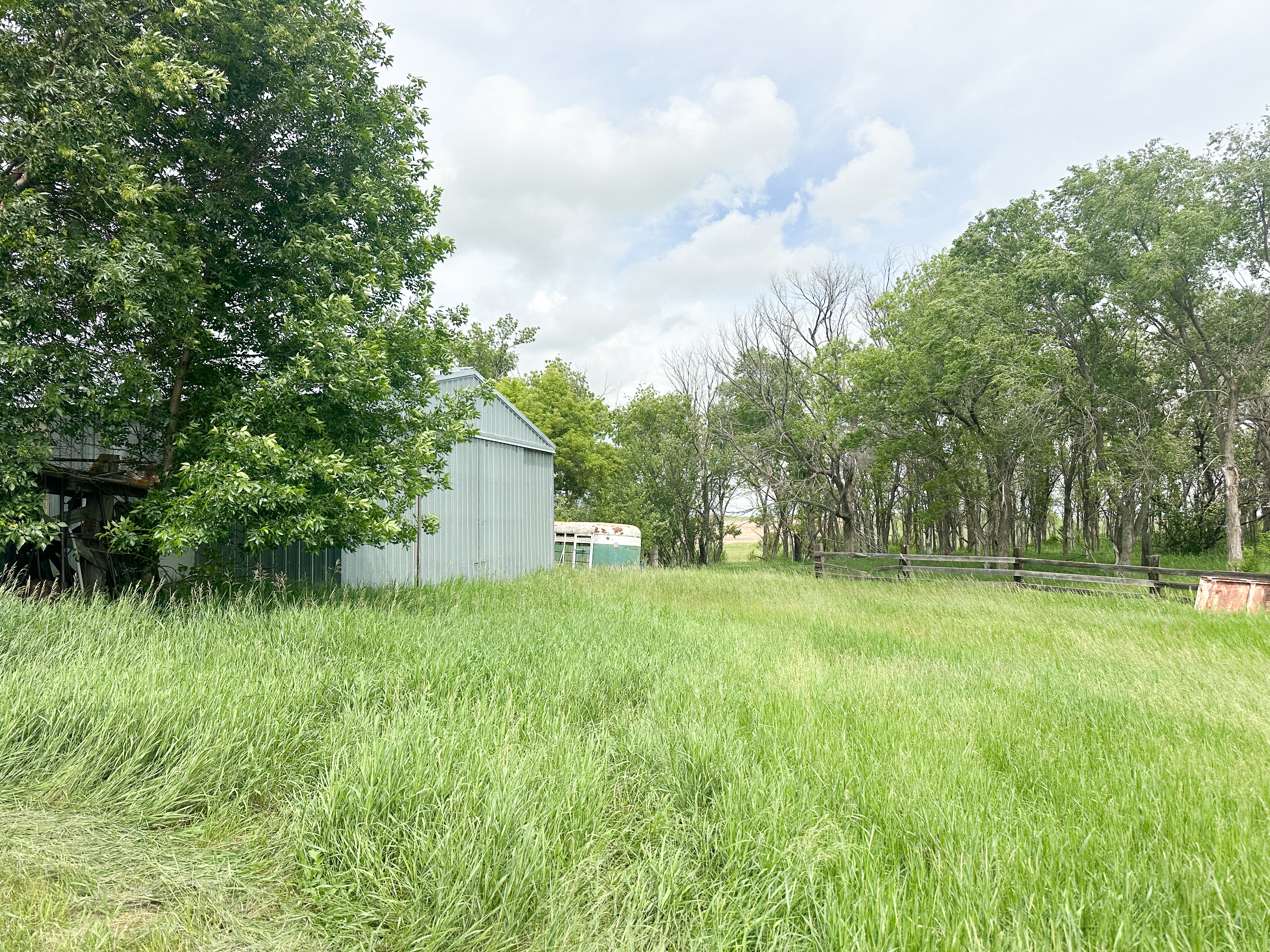
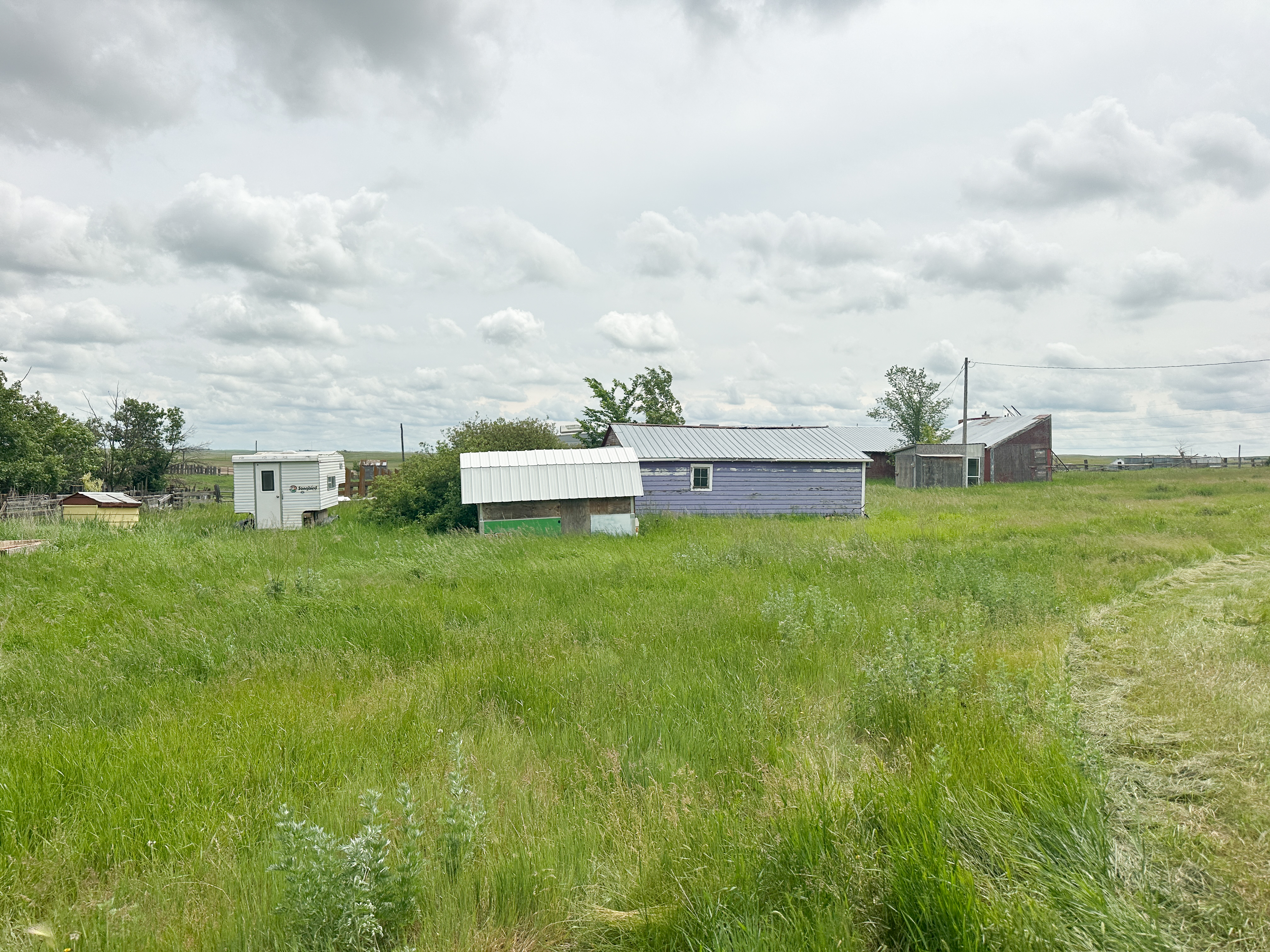
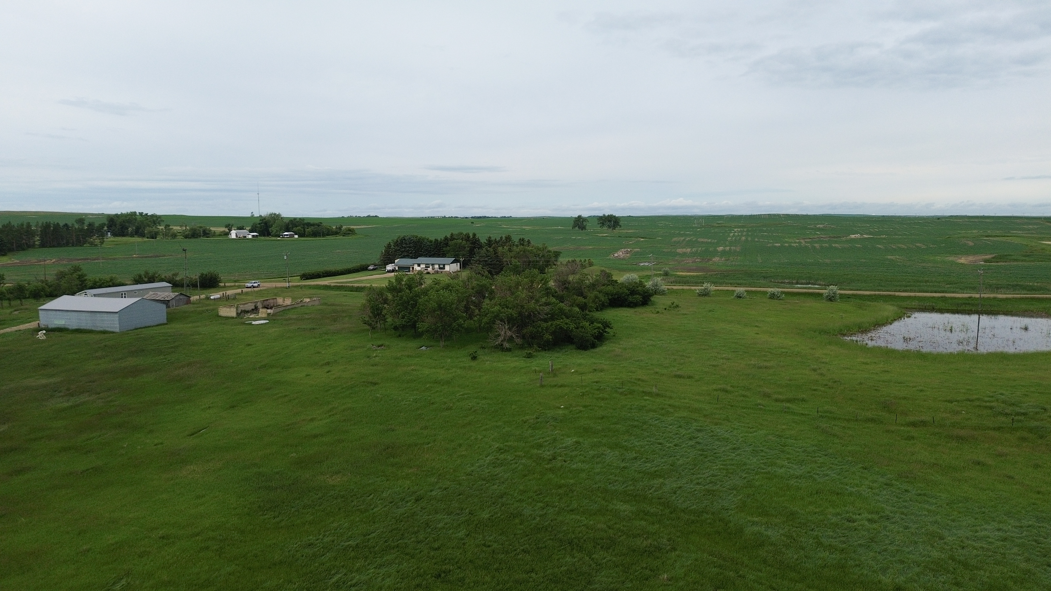
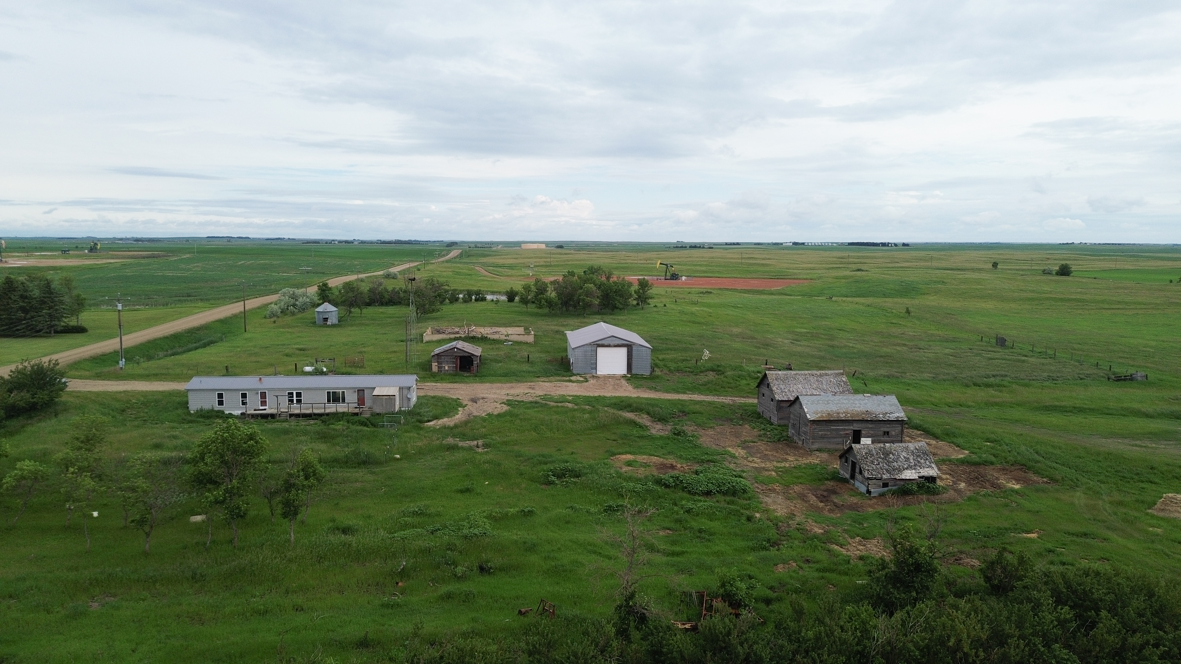
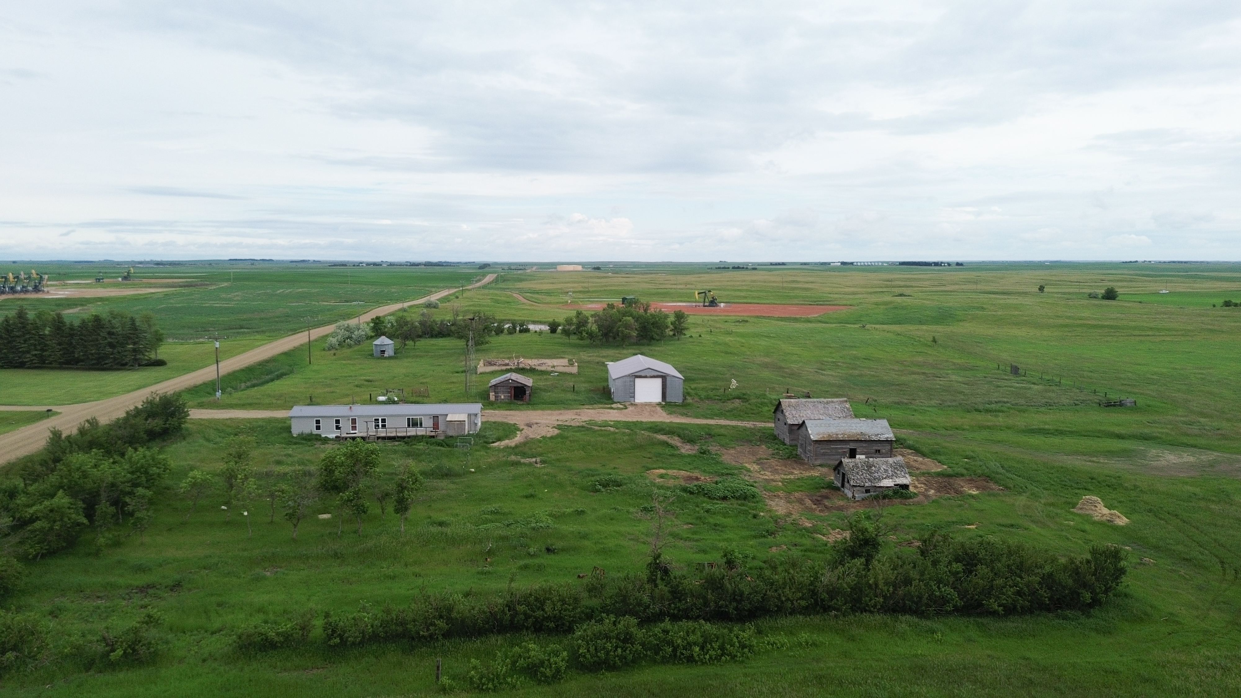
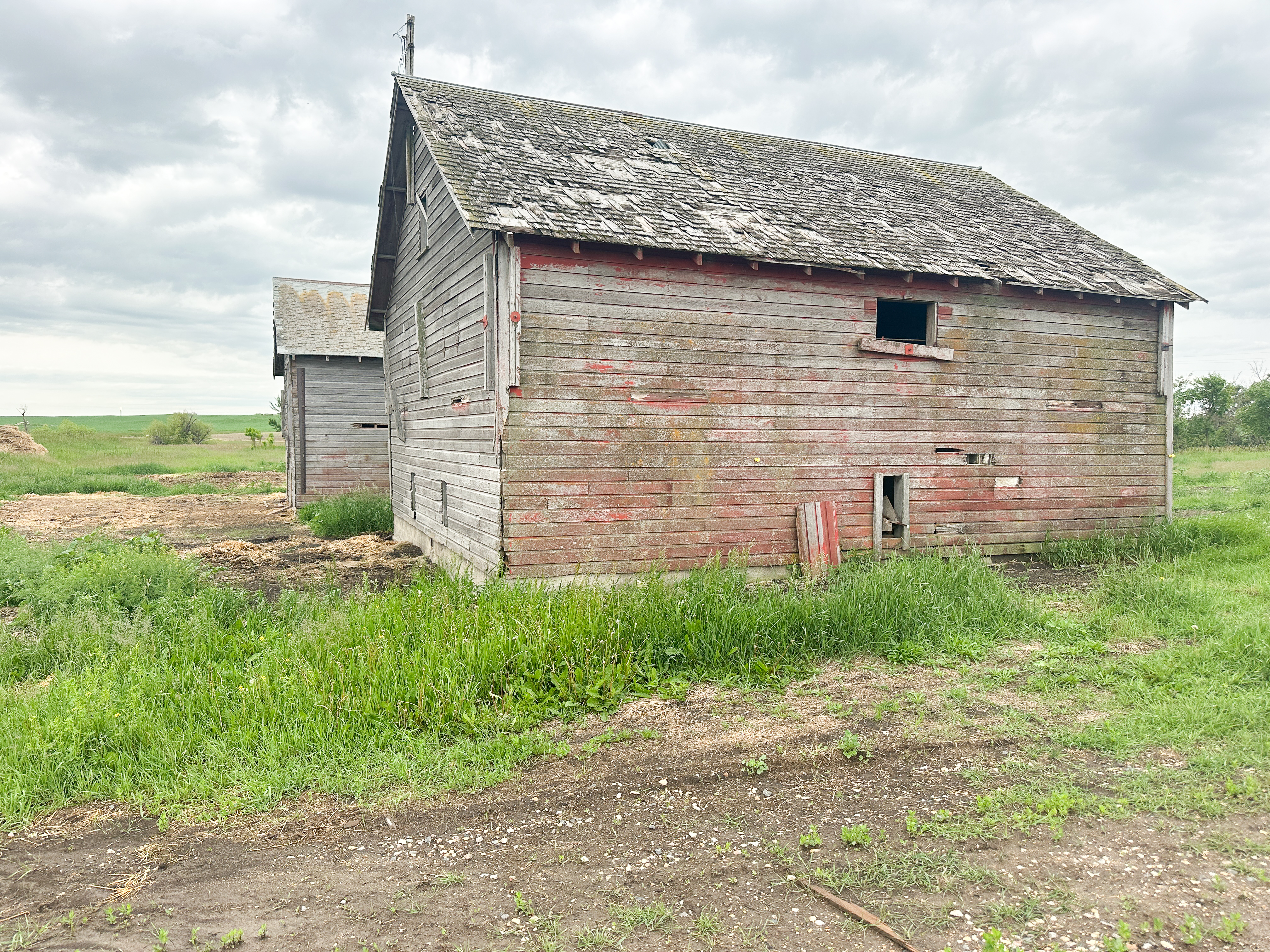
Parcel 13 • Mountrail County, ND
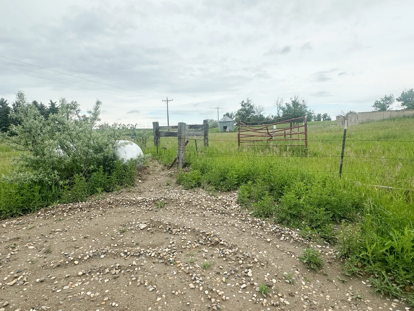
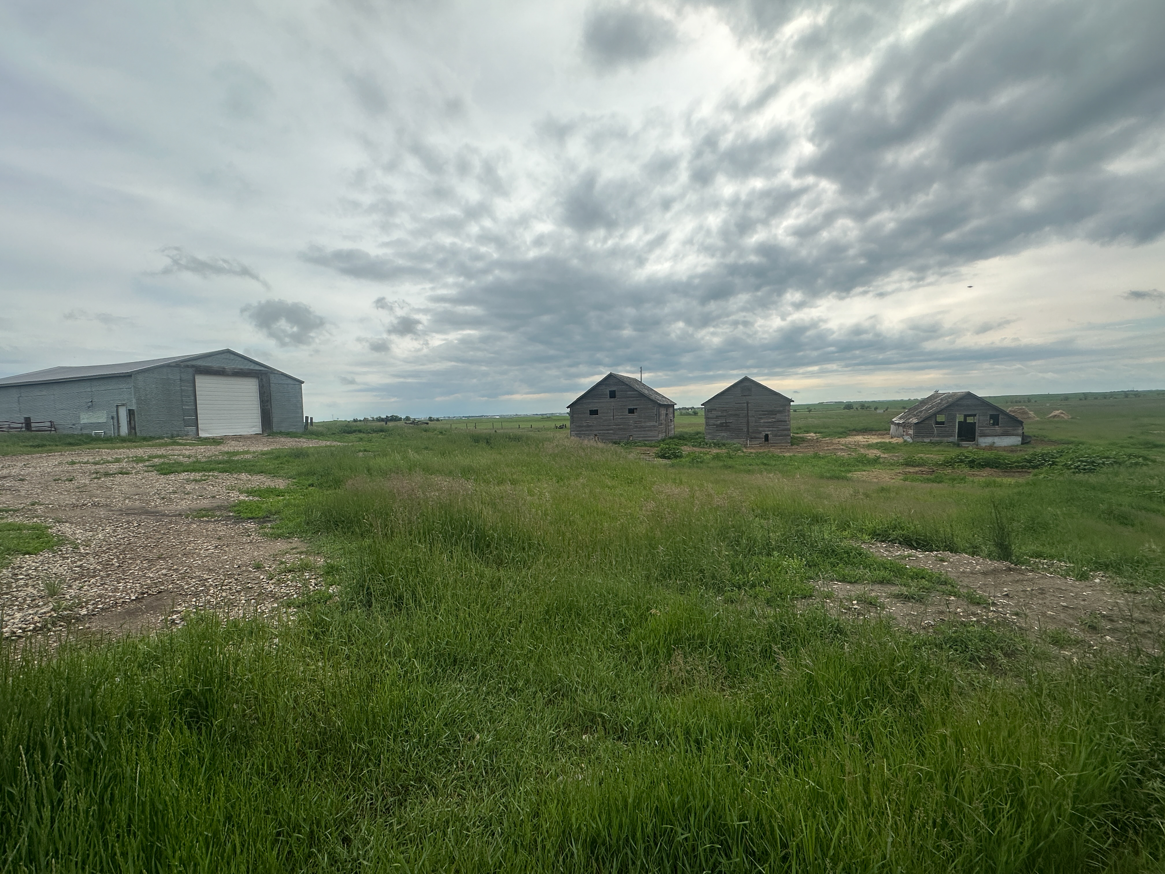
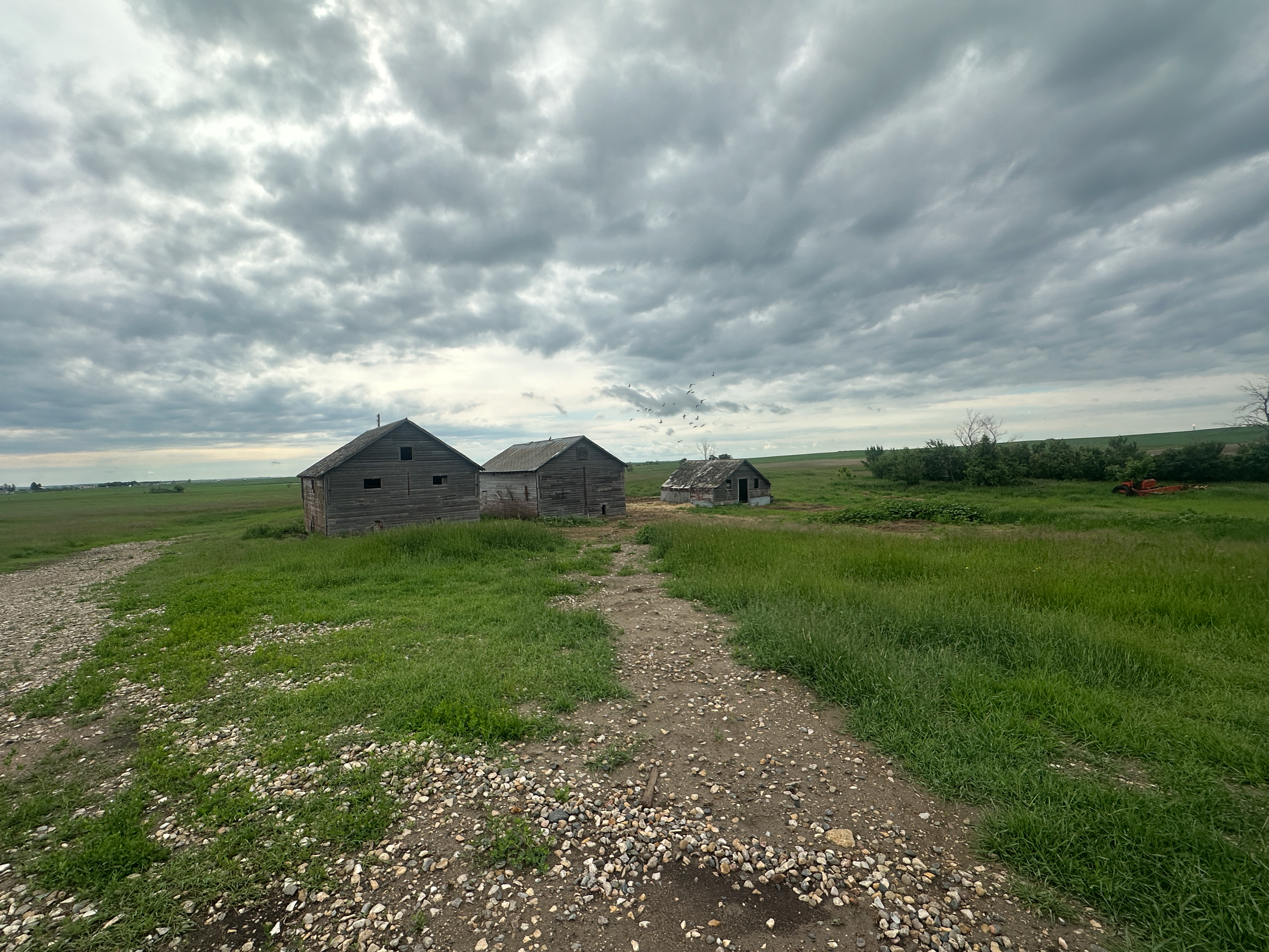
Parcel will be surveyed out of parcel 8, estimated at 39-40 +/- acres. The farmstead contains multiple buildings, mature tree belts and Old Hwy. #2 access making it a desirable location. The ranch style home contains two bedrooms and one full bathroom on the main floor, there are also two unfinished bedrooms (with egress windows) and a 3/4 bath in the basement. There is an updated boiler for radiant heat in the home. Old Hwy 2 from Palermo to Blaisdell is being widened paved this summer, fences on the south side of the property will be removed for construction purposes. New Owners will be responsible for rebuilding. This property is subject to a USFW Wetland Easement, R&T Water Supply Easement, and Mountrail Williams Electric Easement.

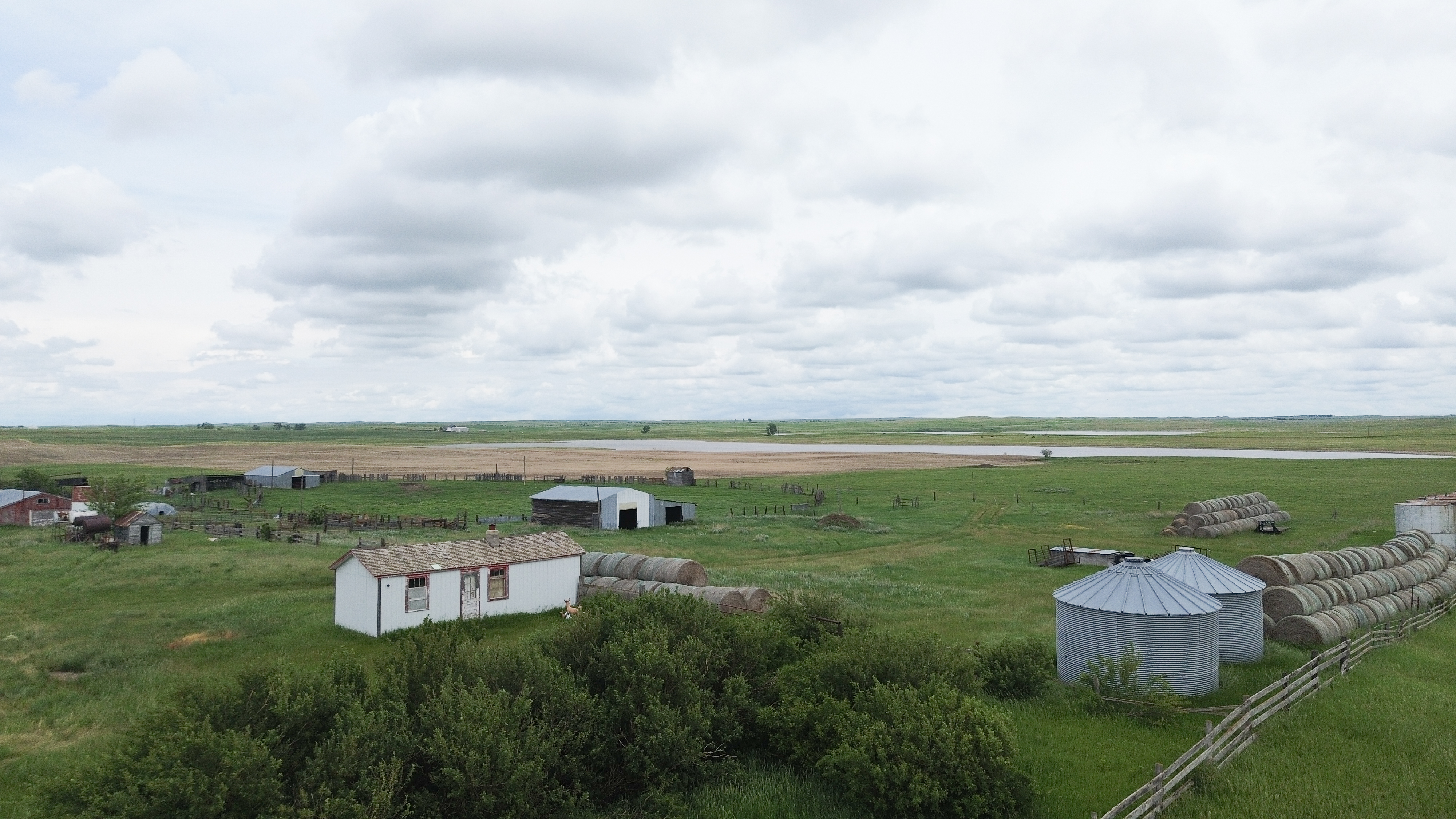


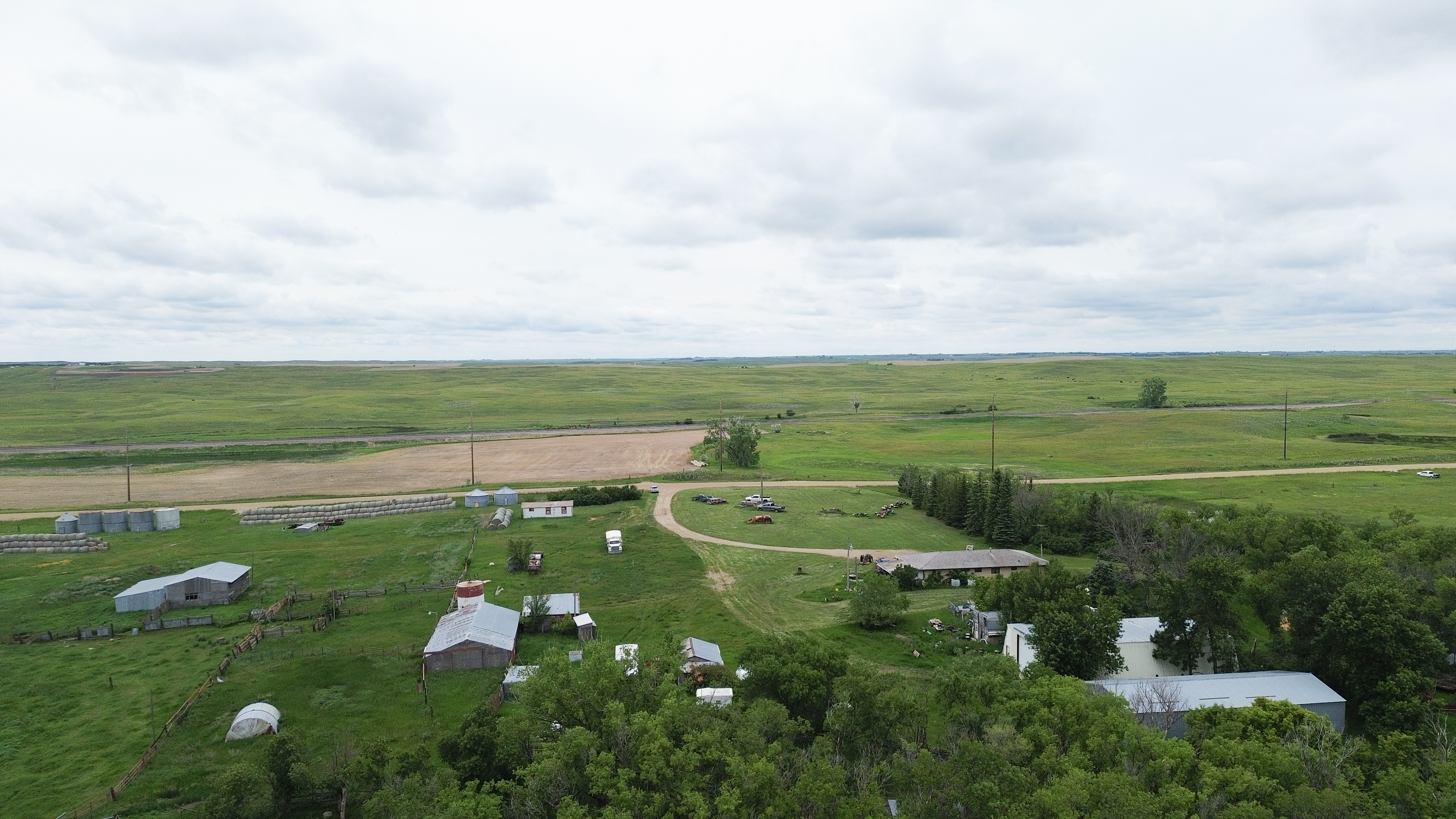
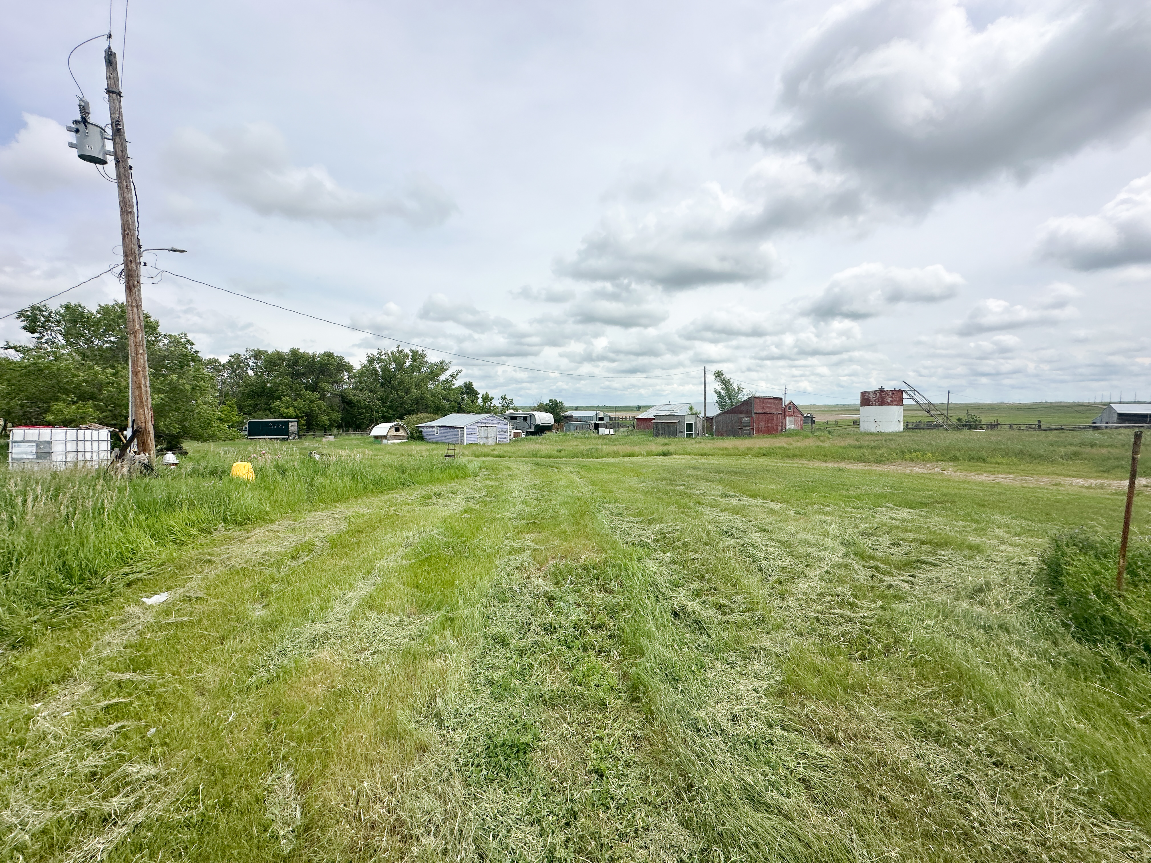
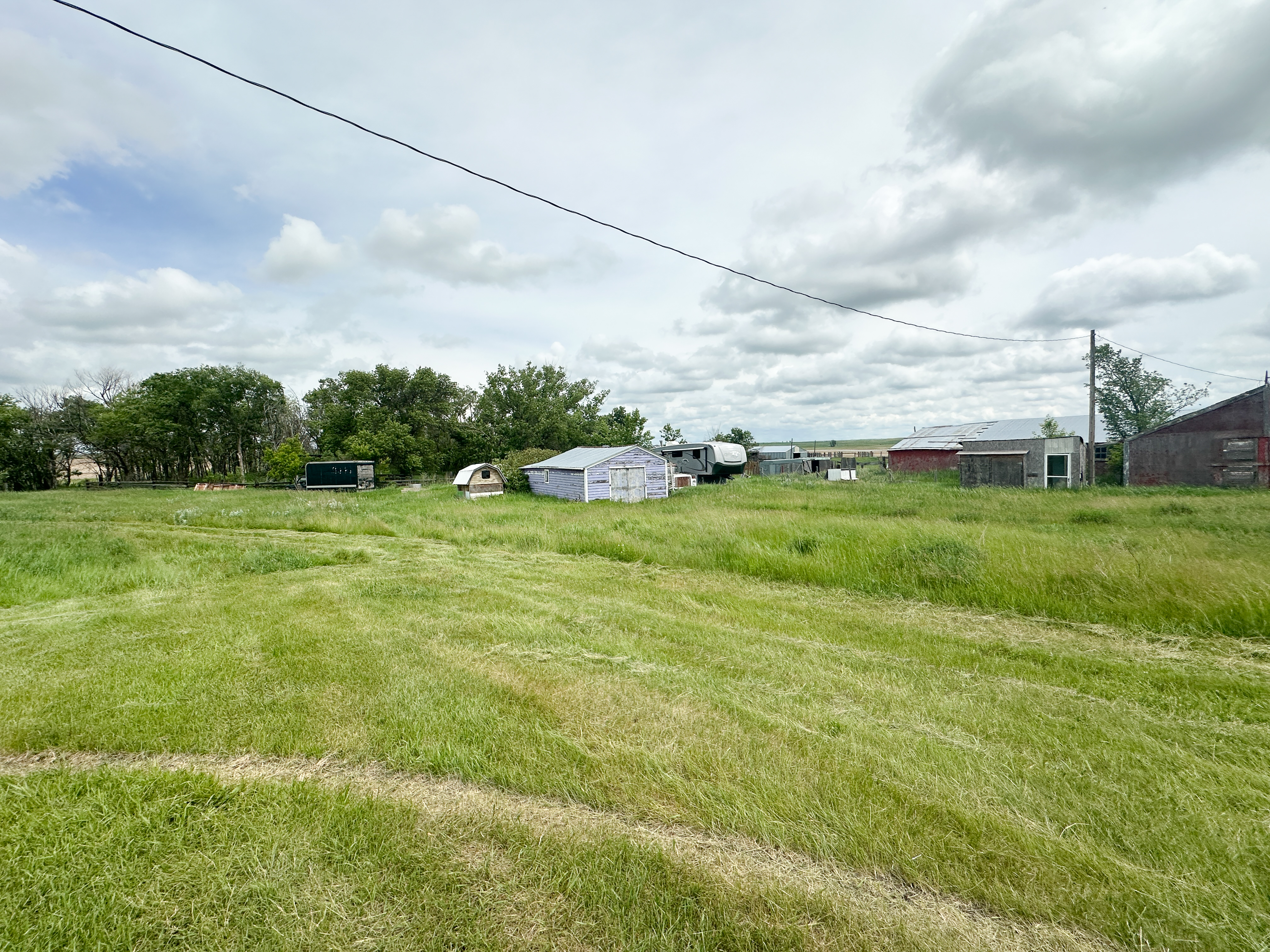
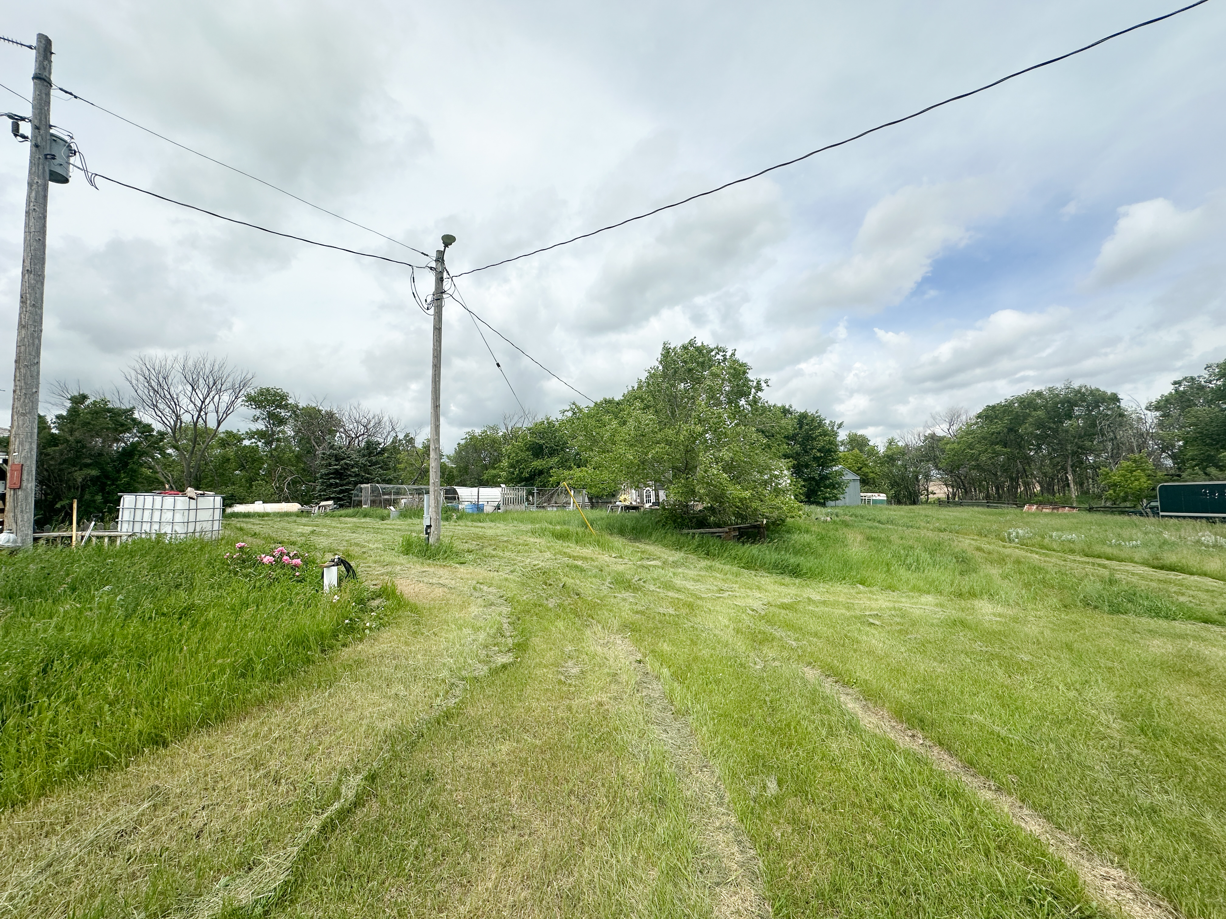
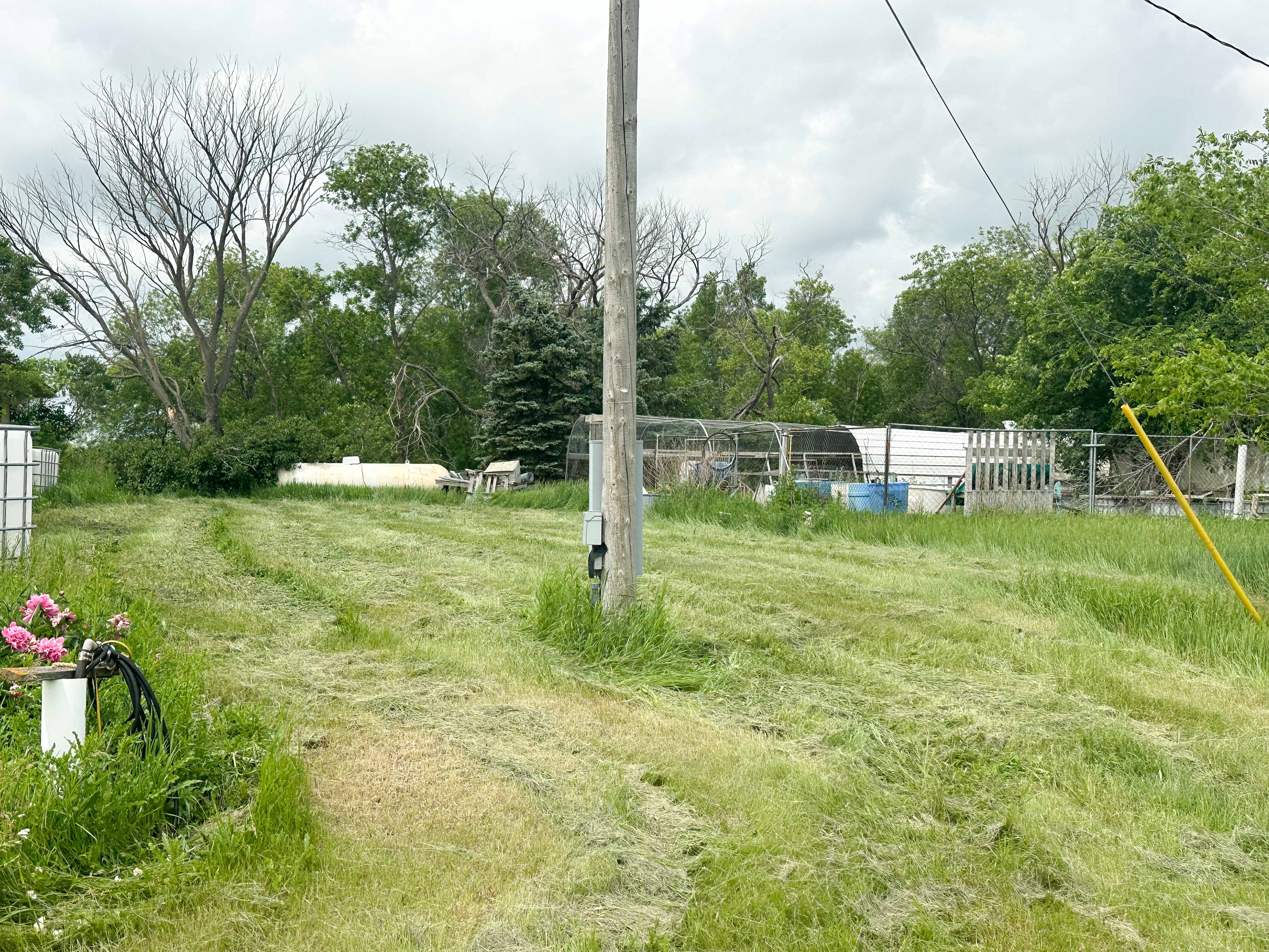
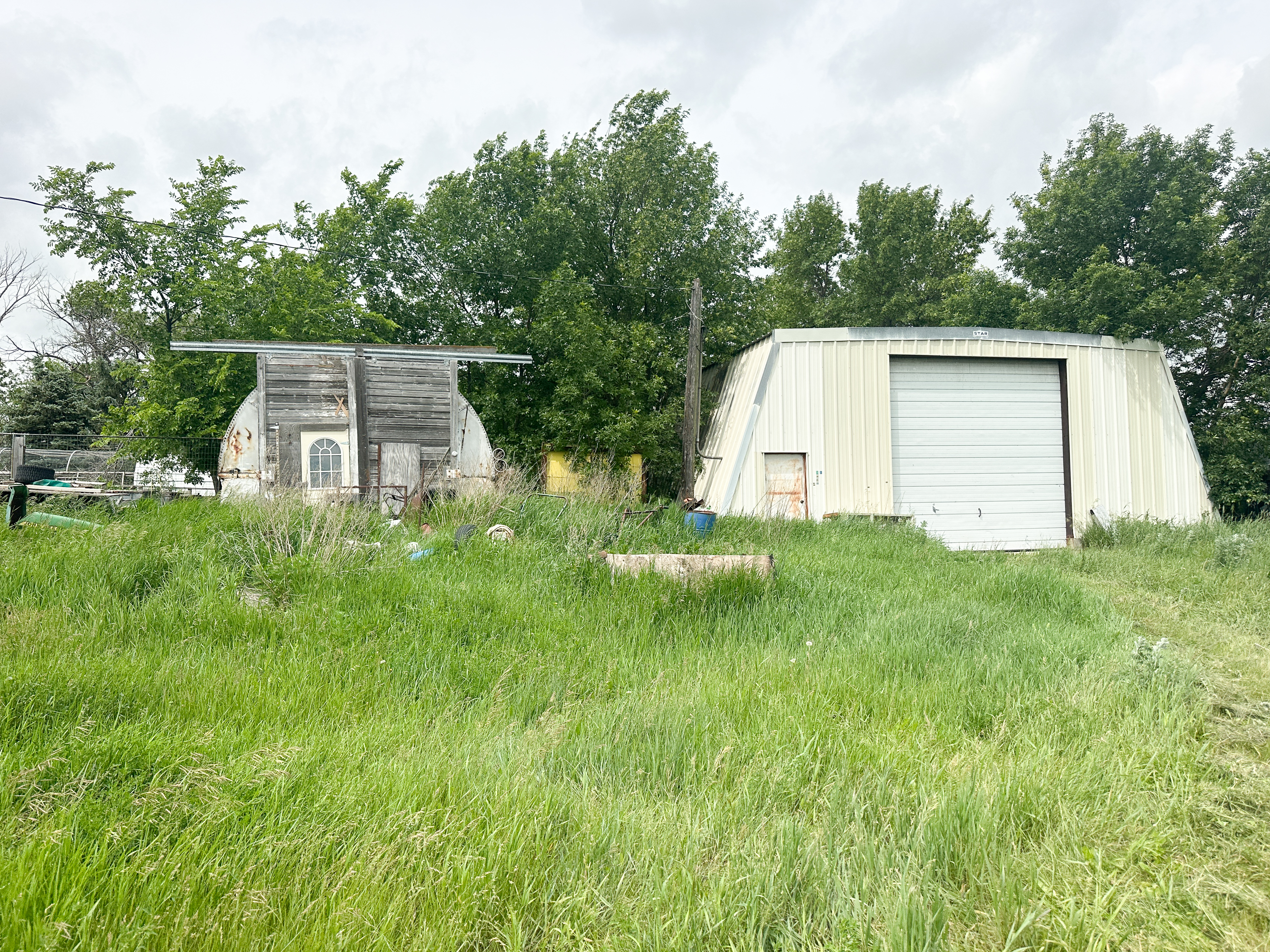
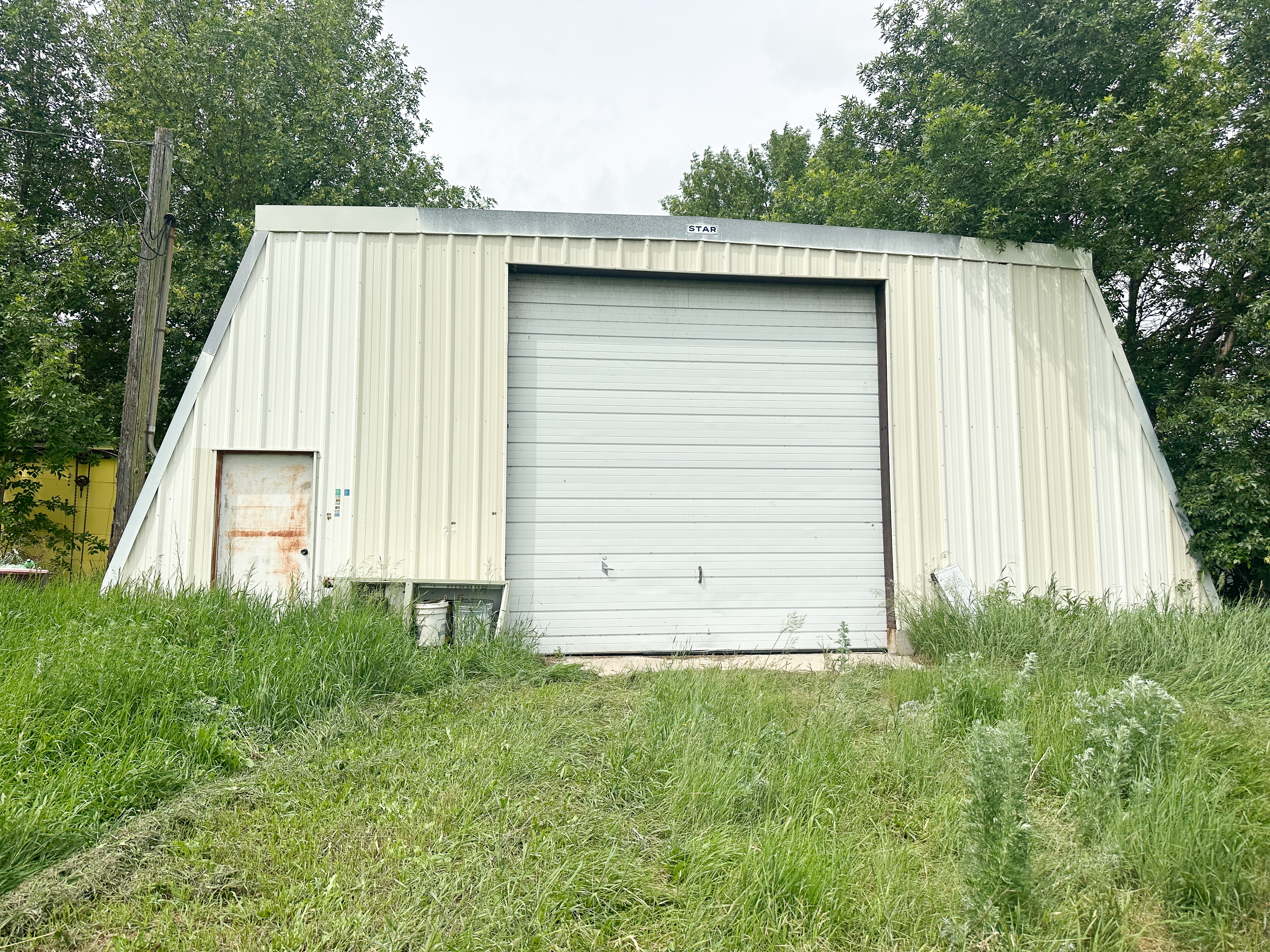

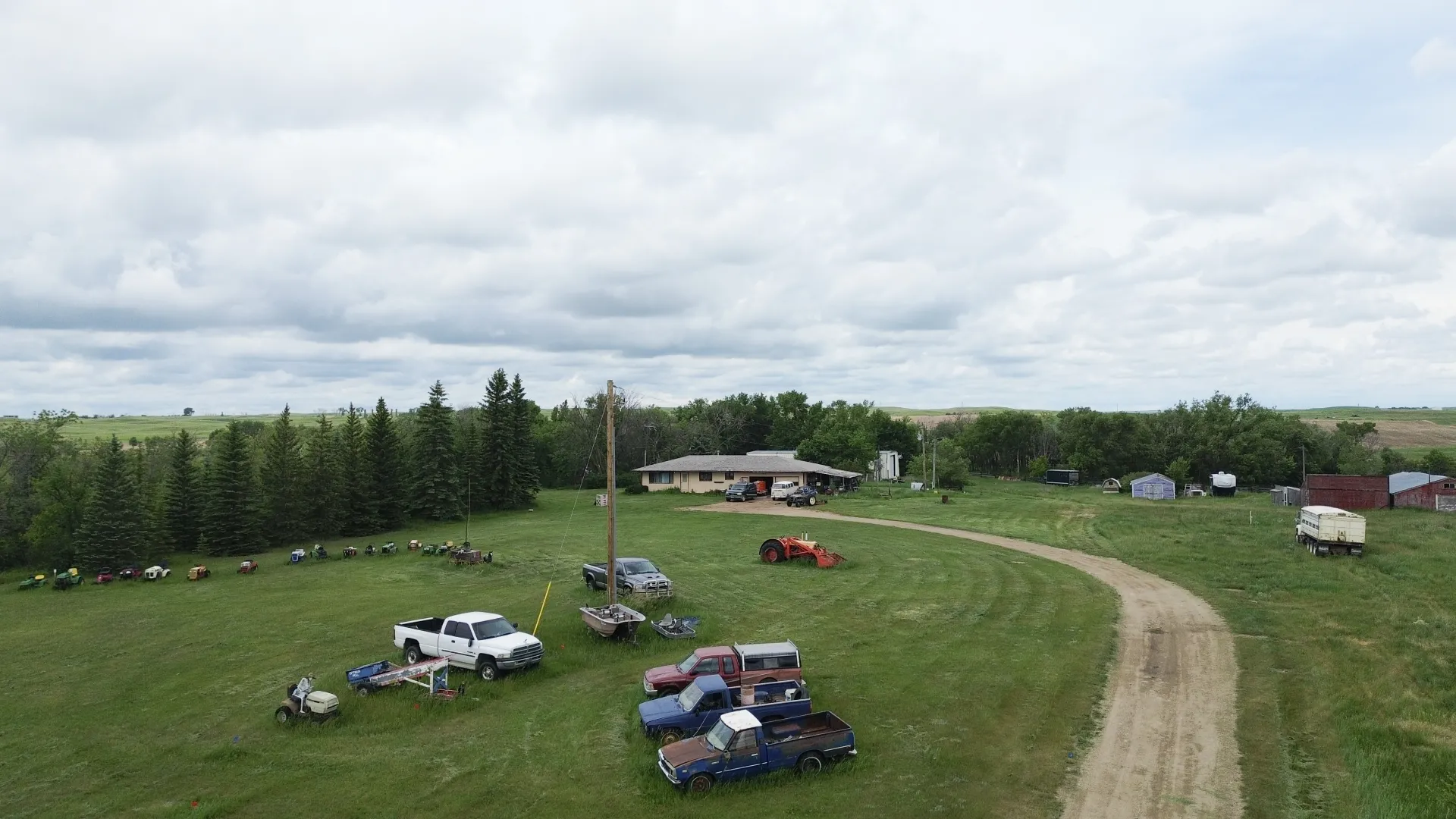
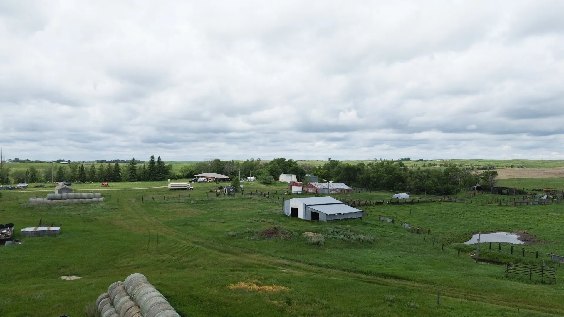
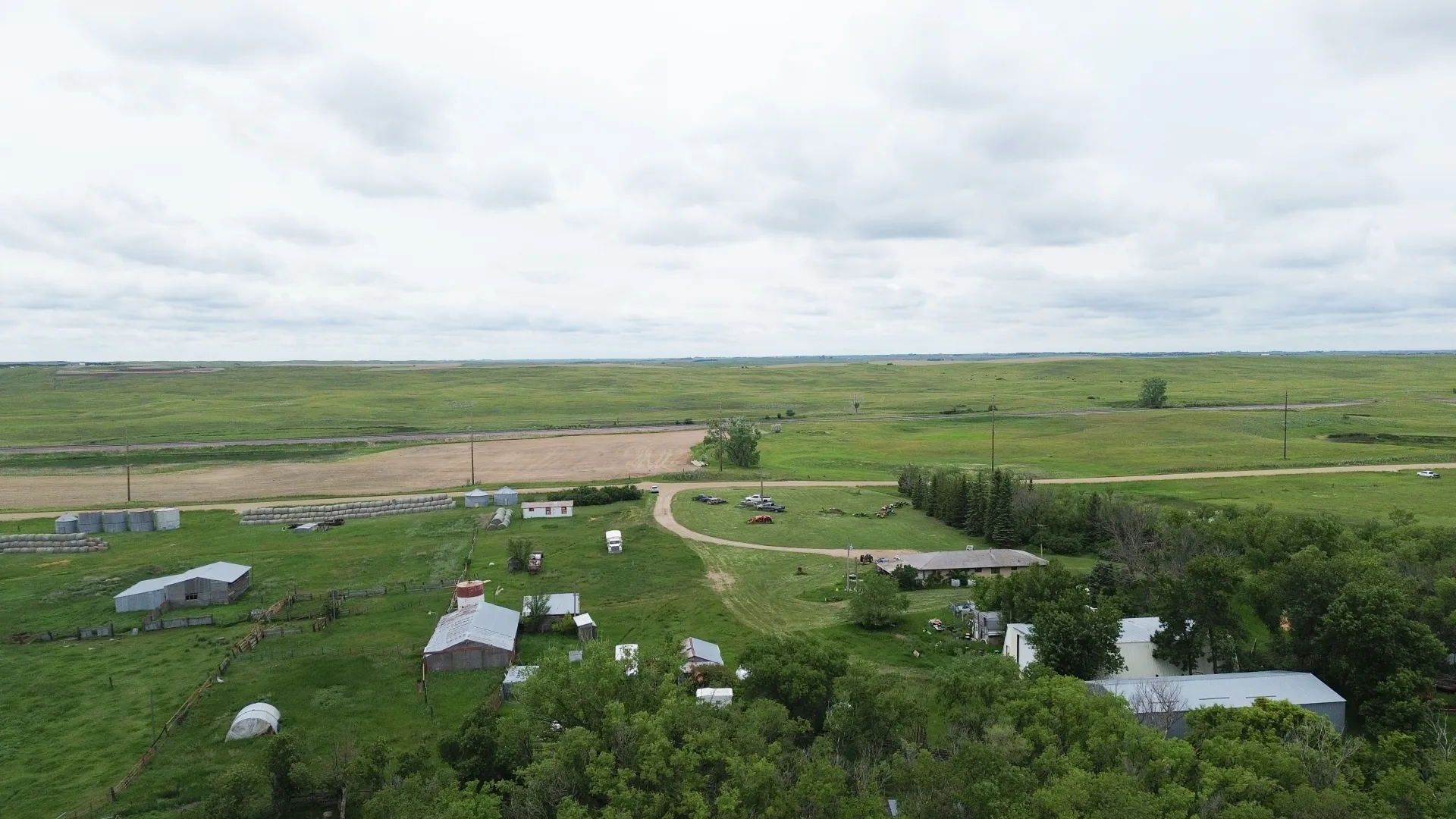
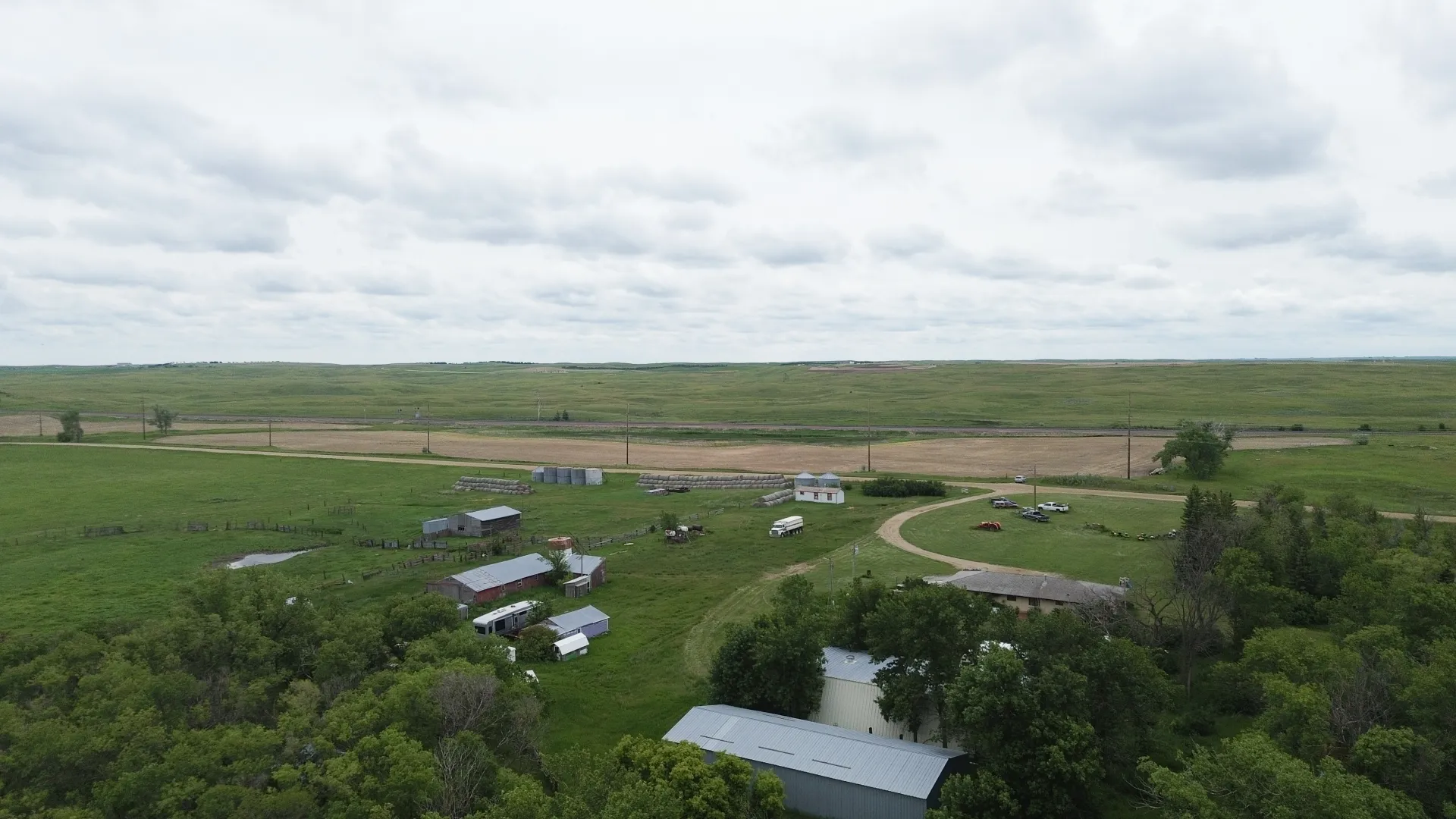
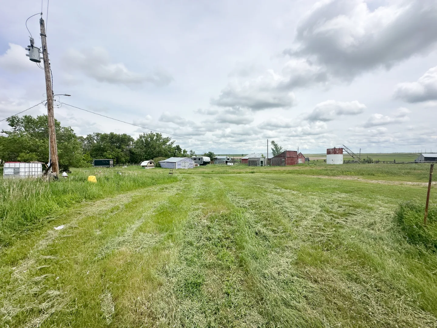
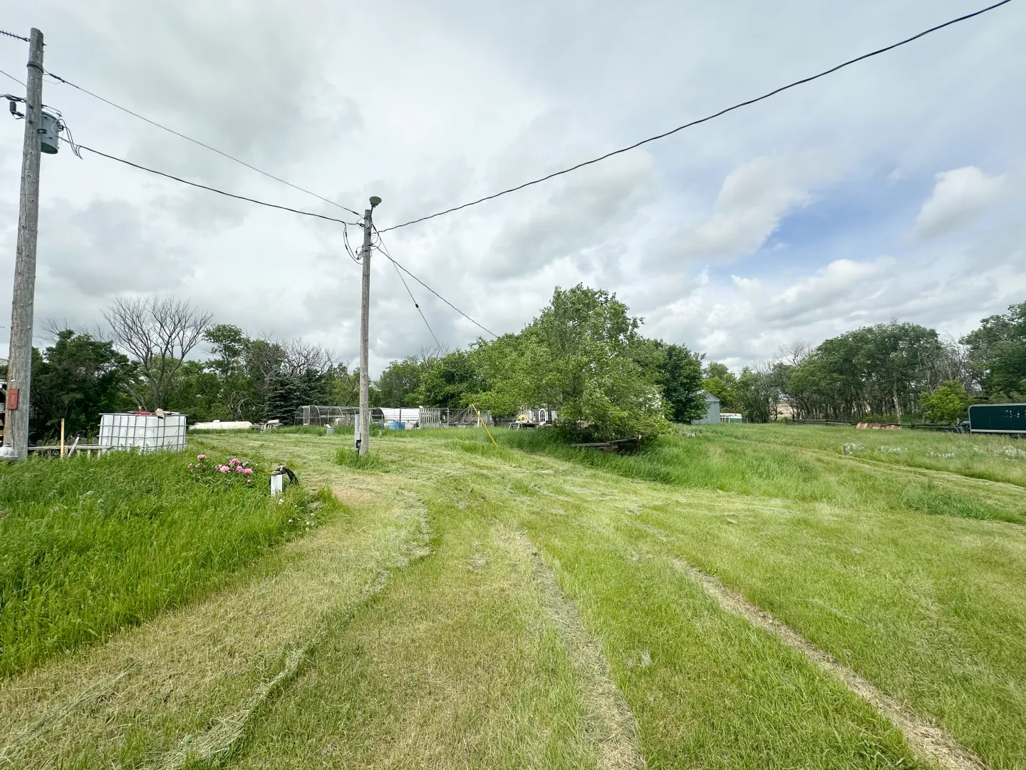
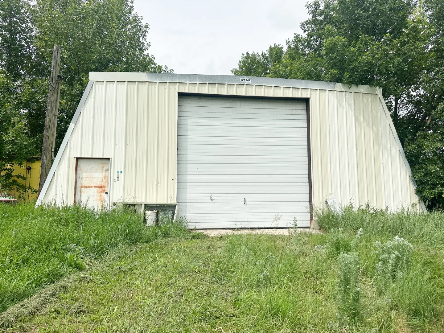
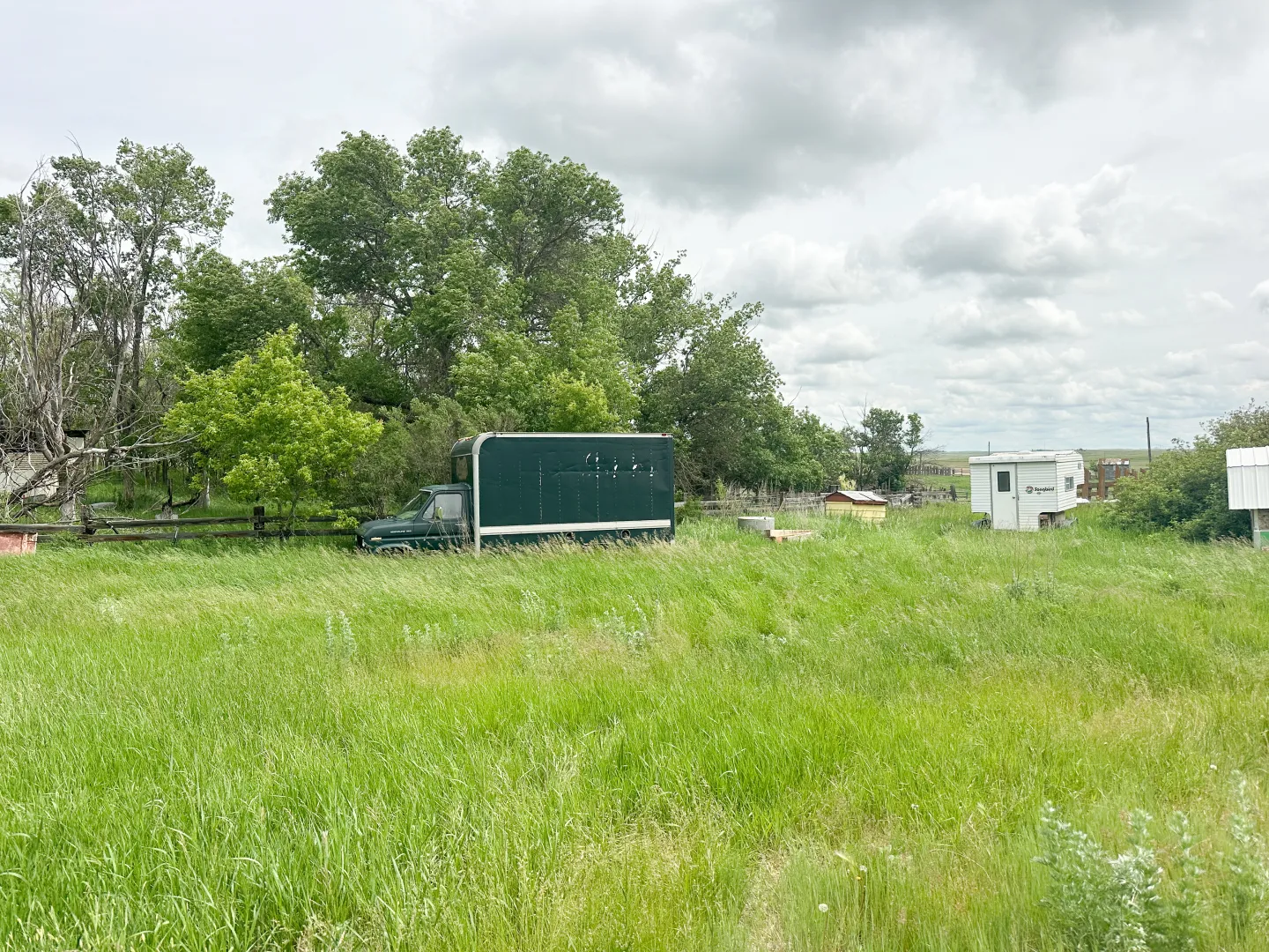
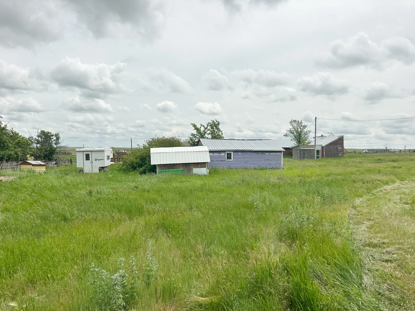
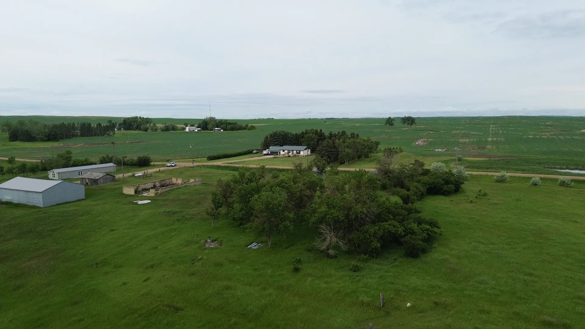
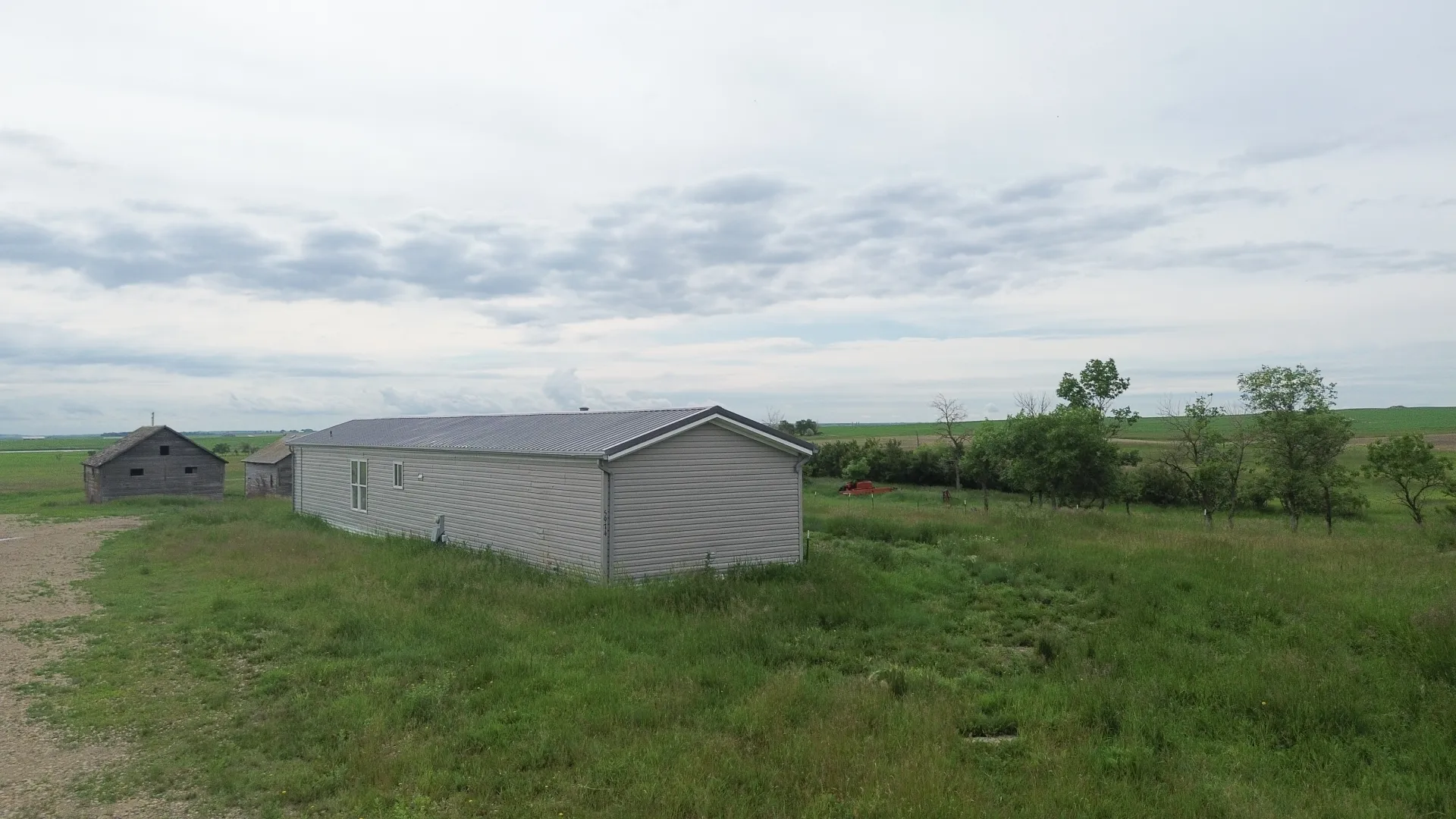
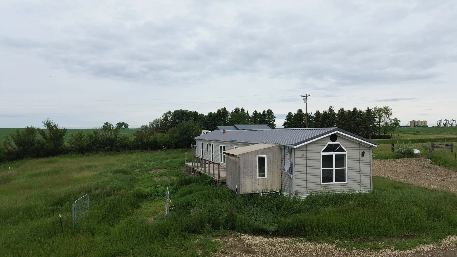
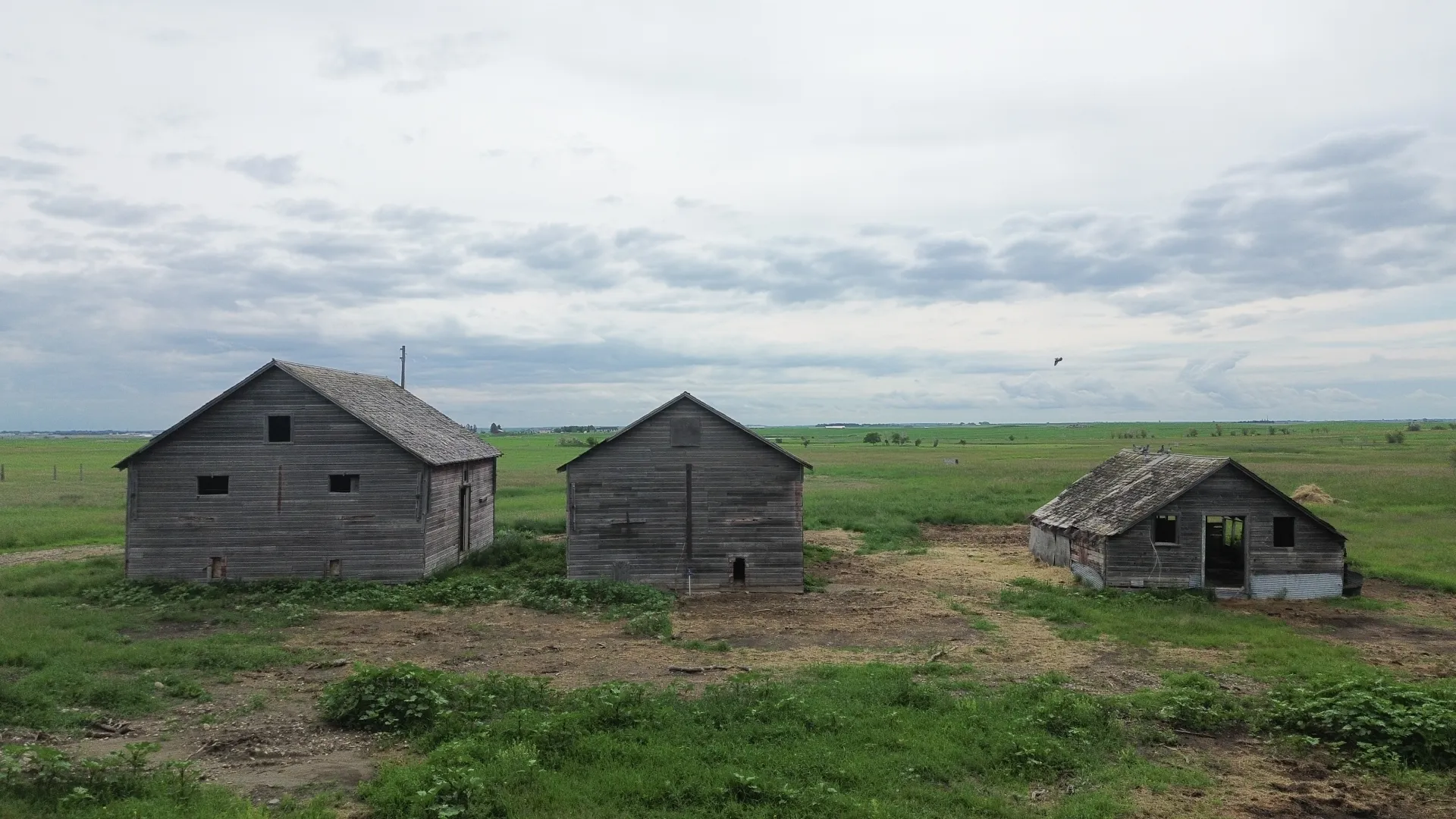
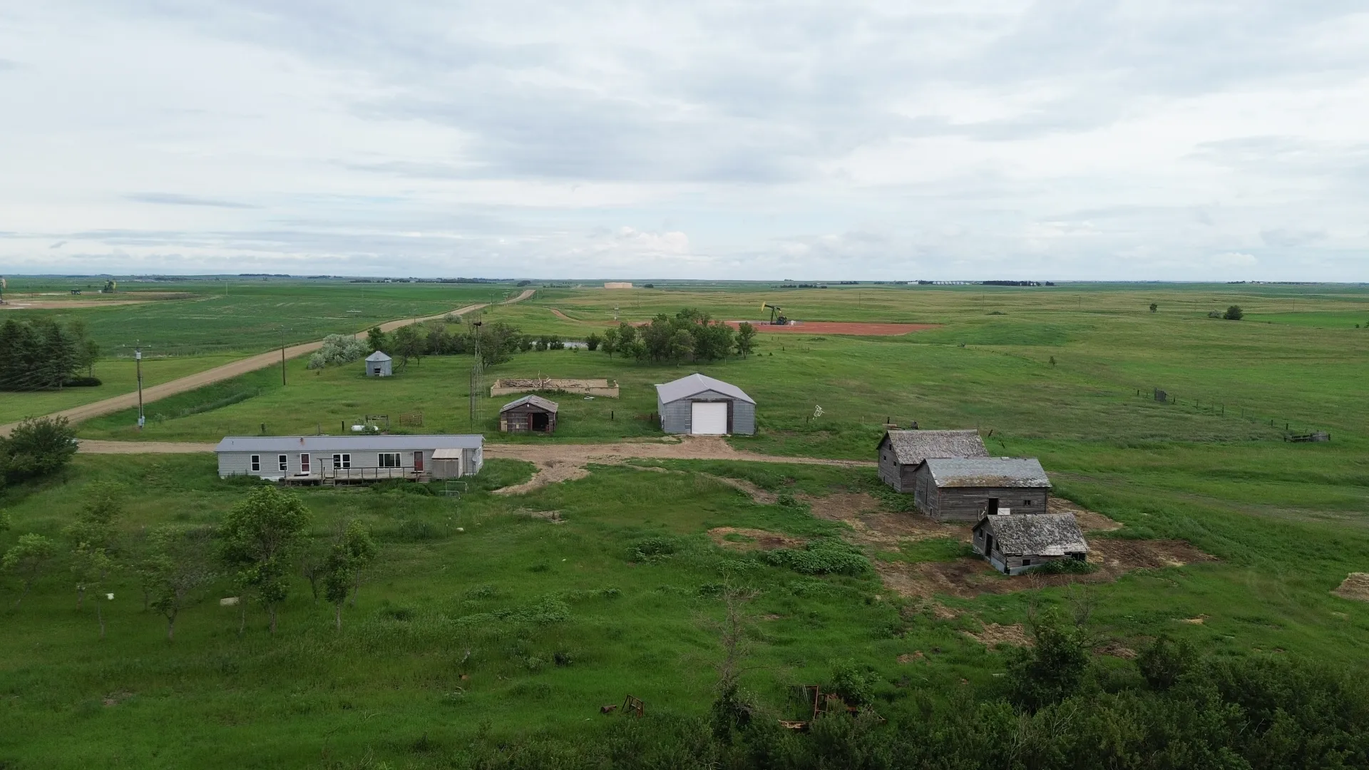
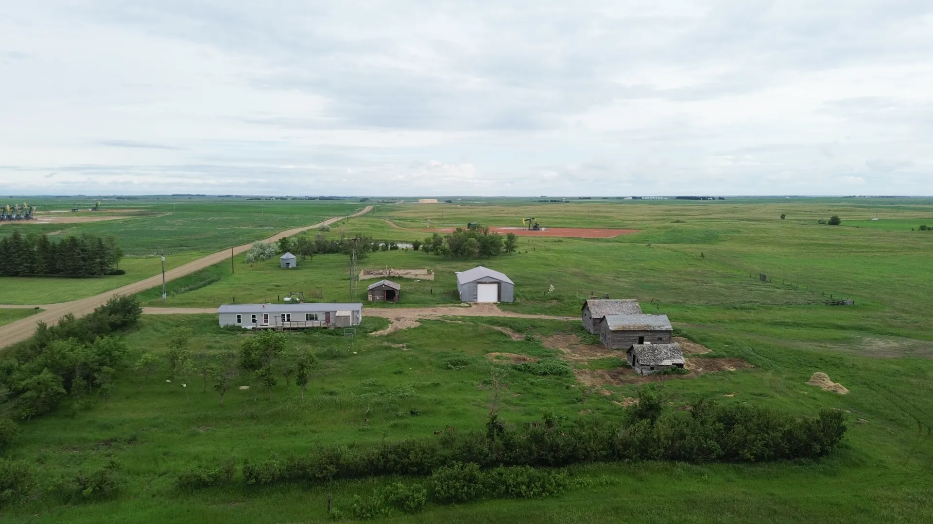
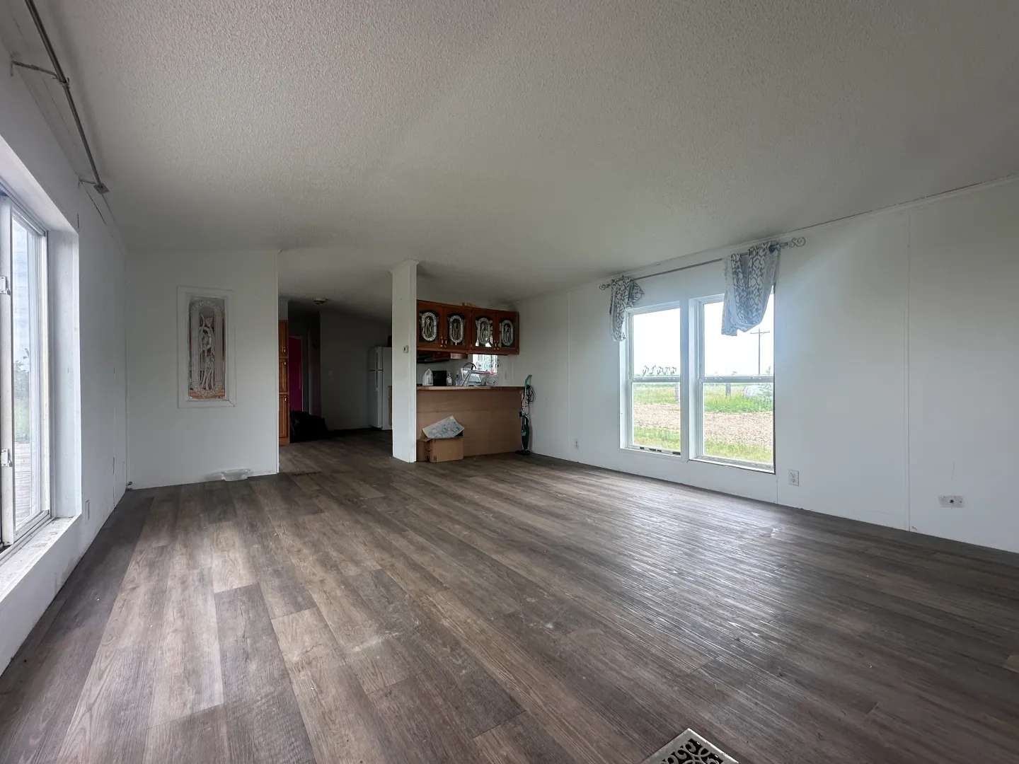
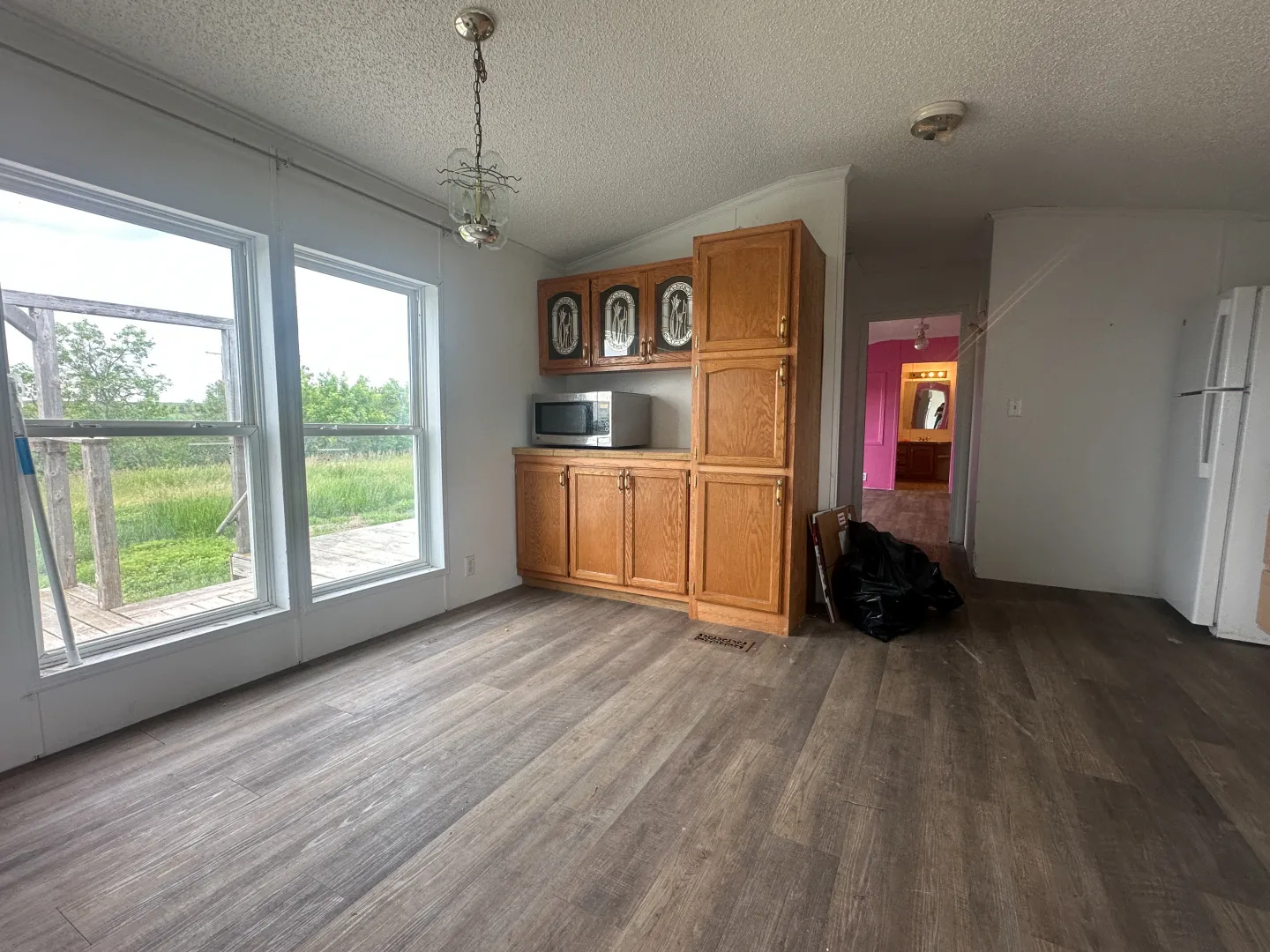
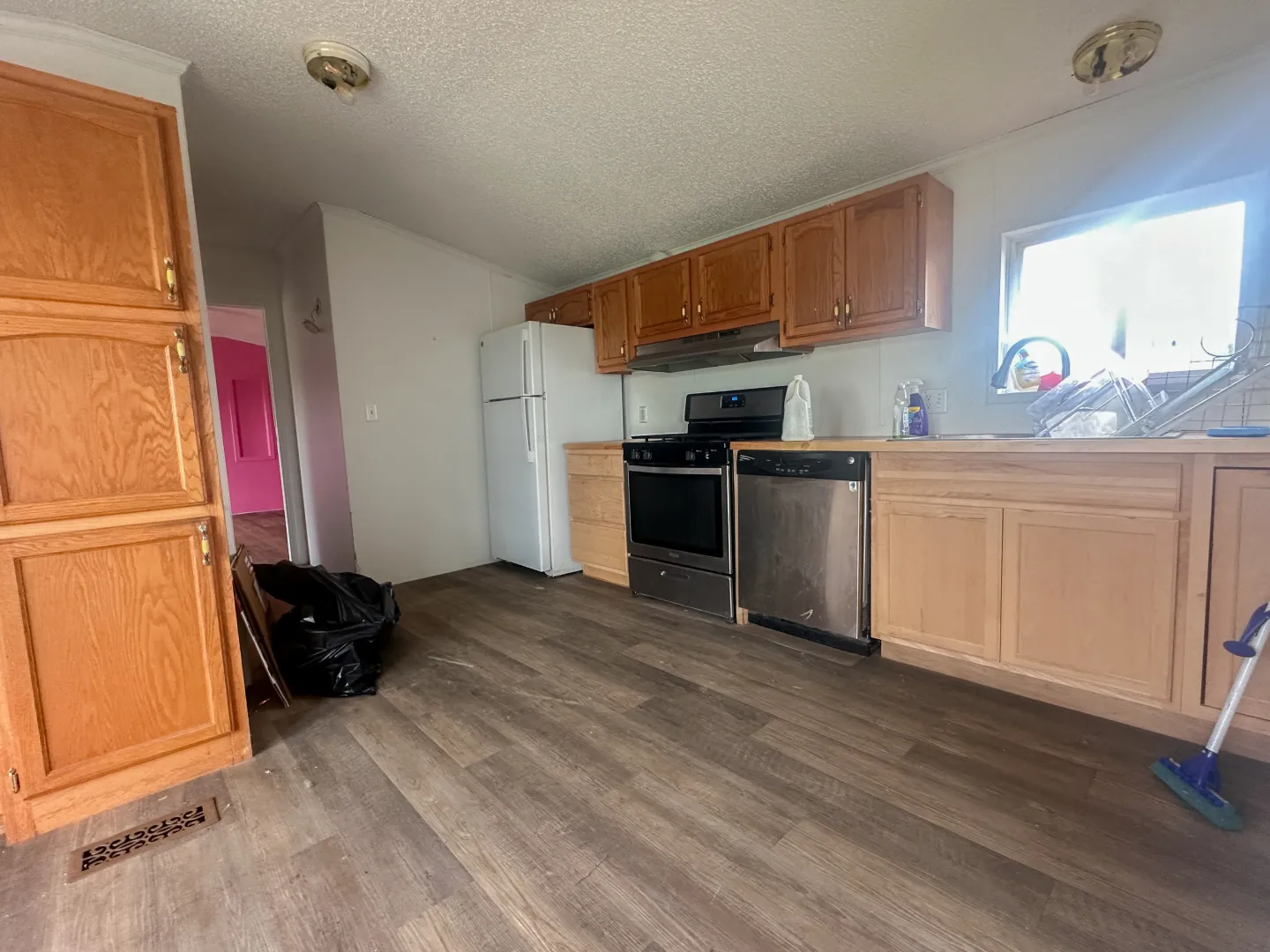
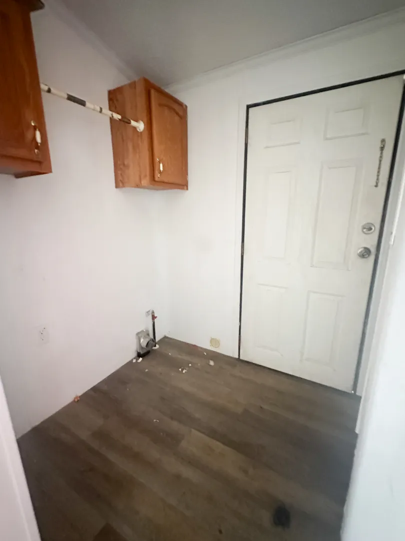
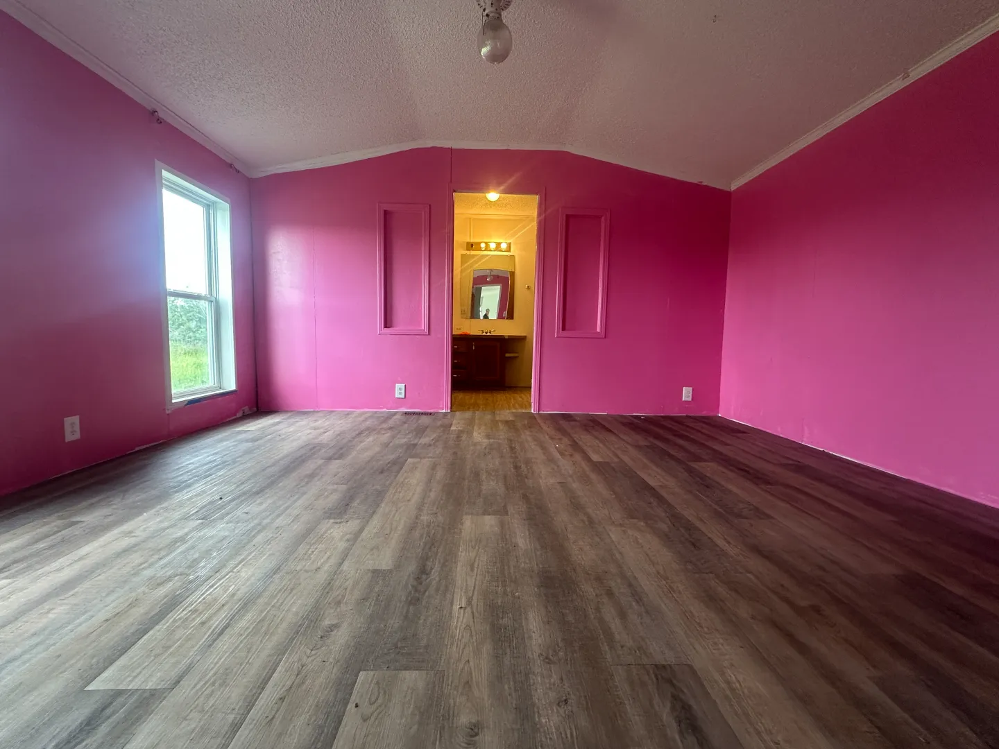
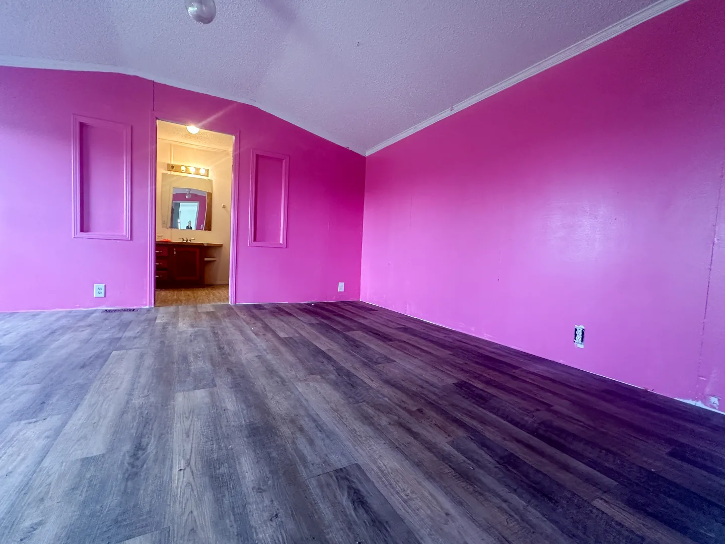
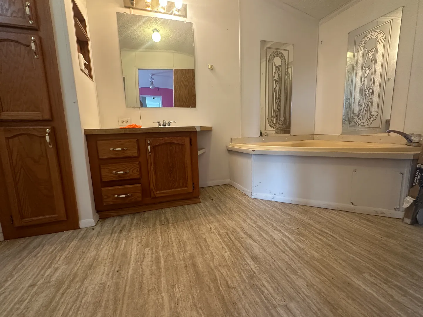
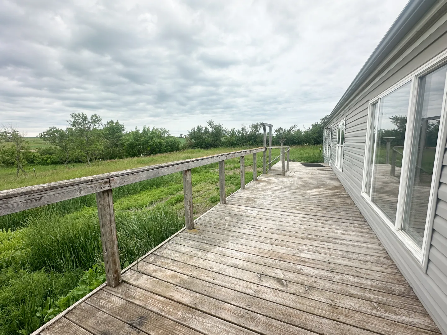
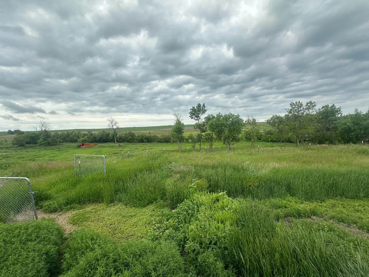
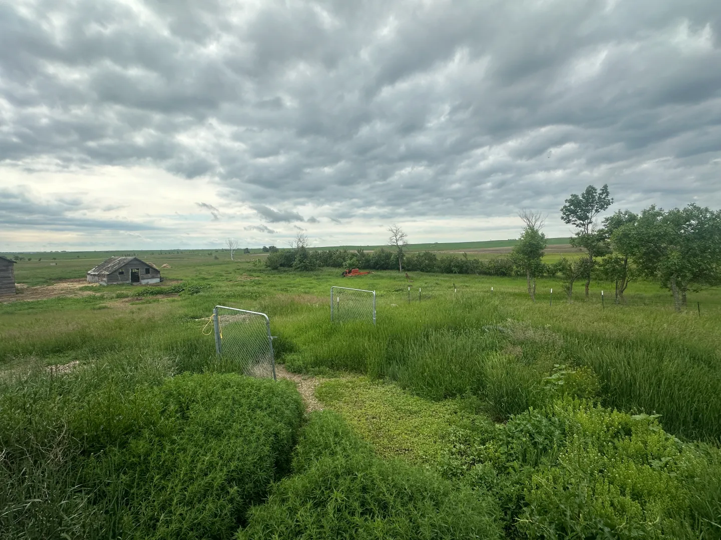
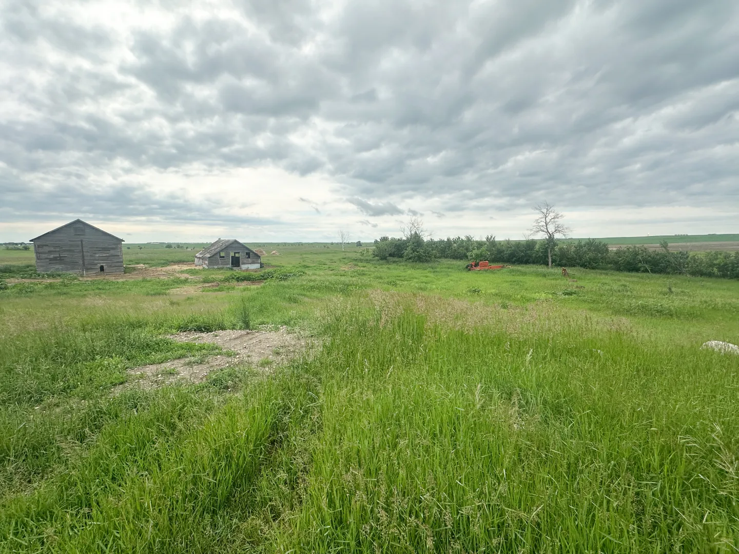
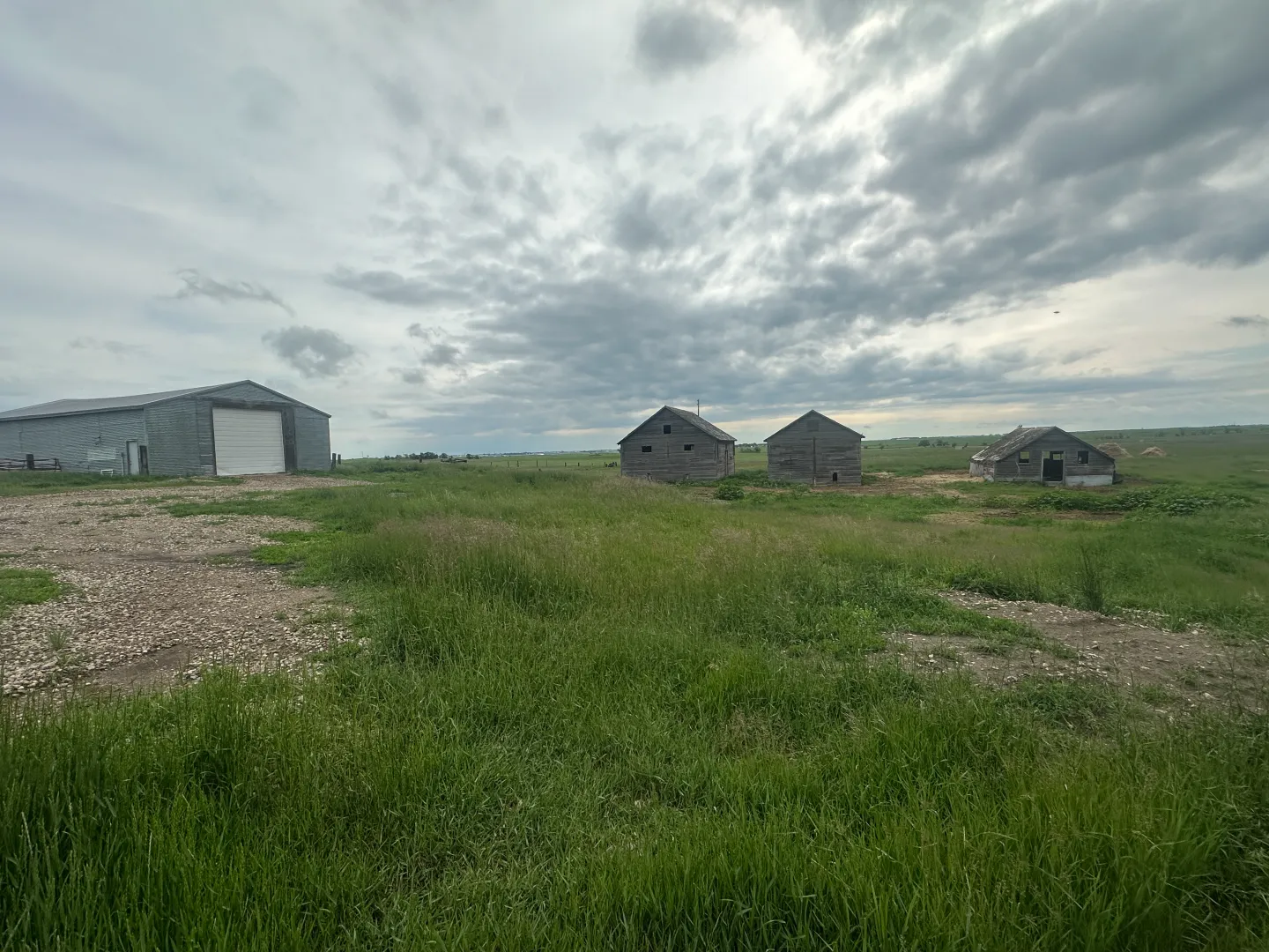
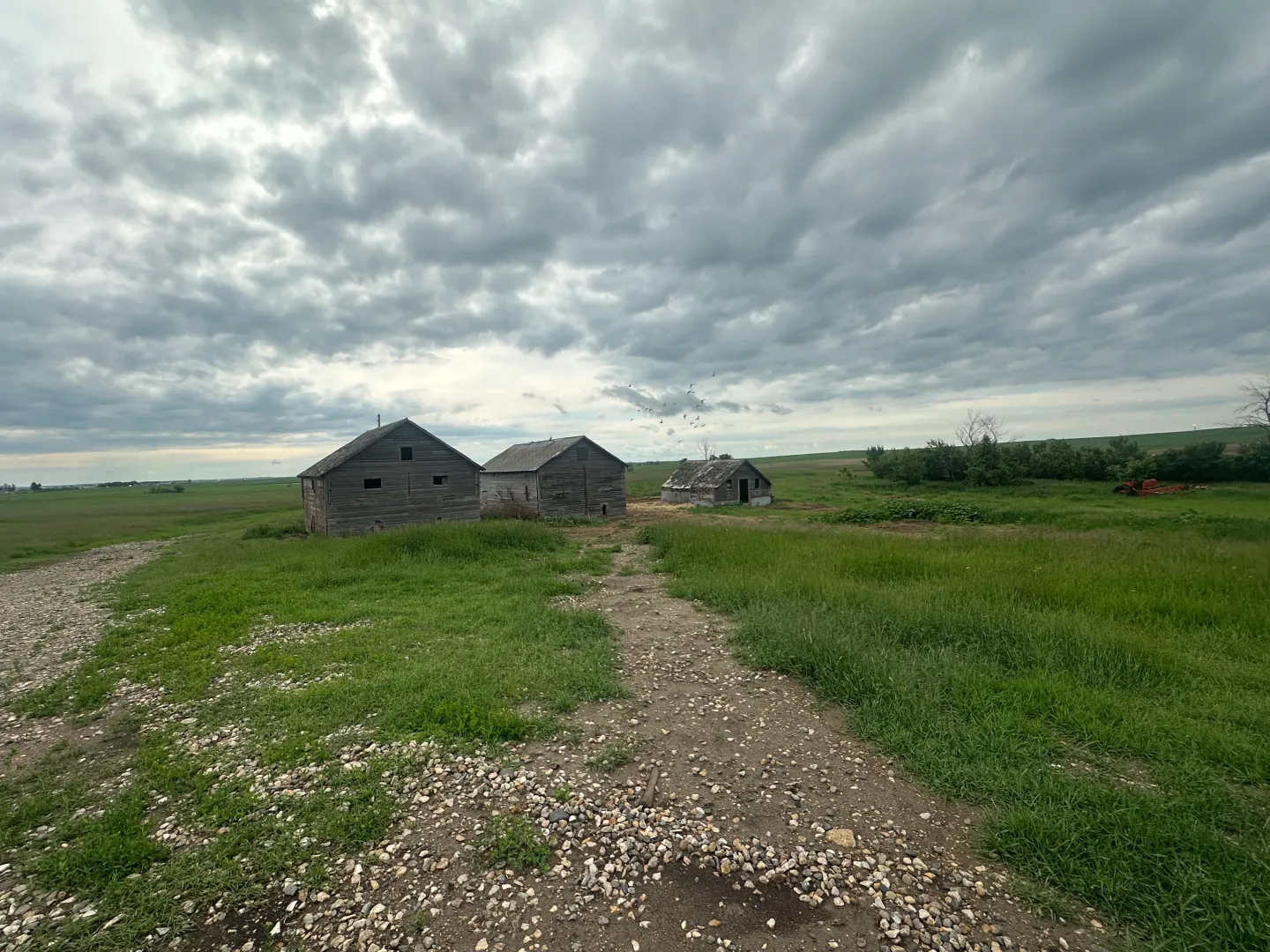
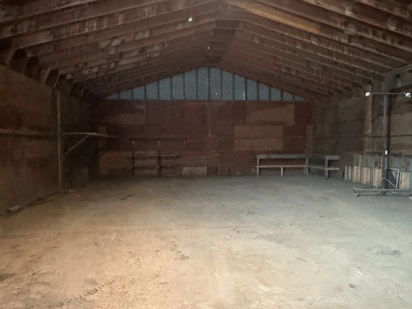
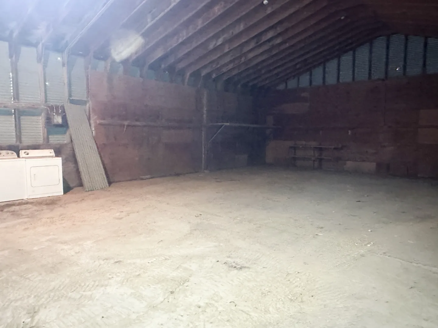
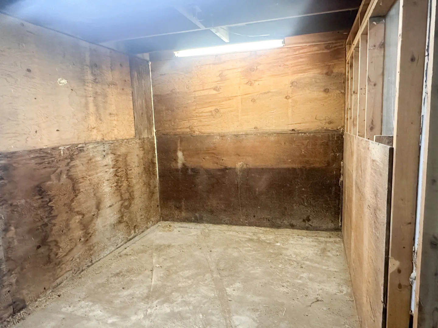
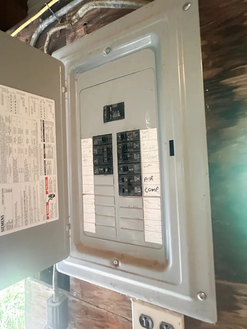
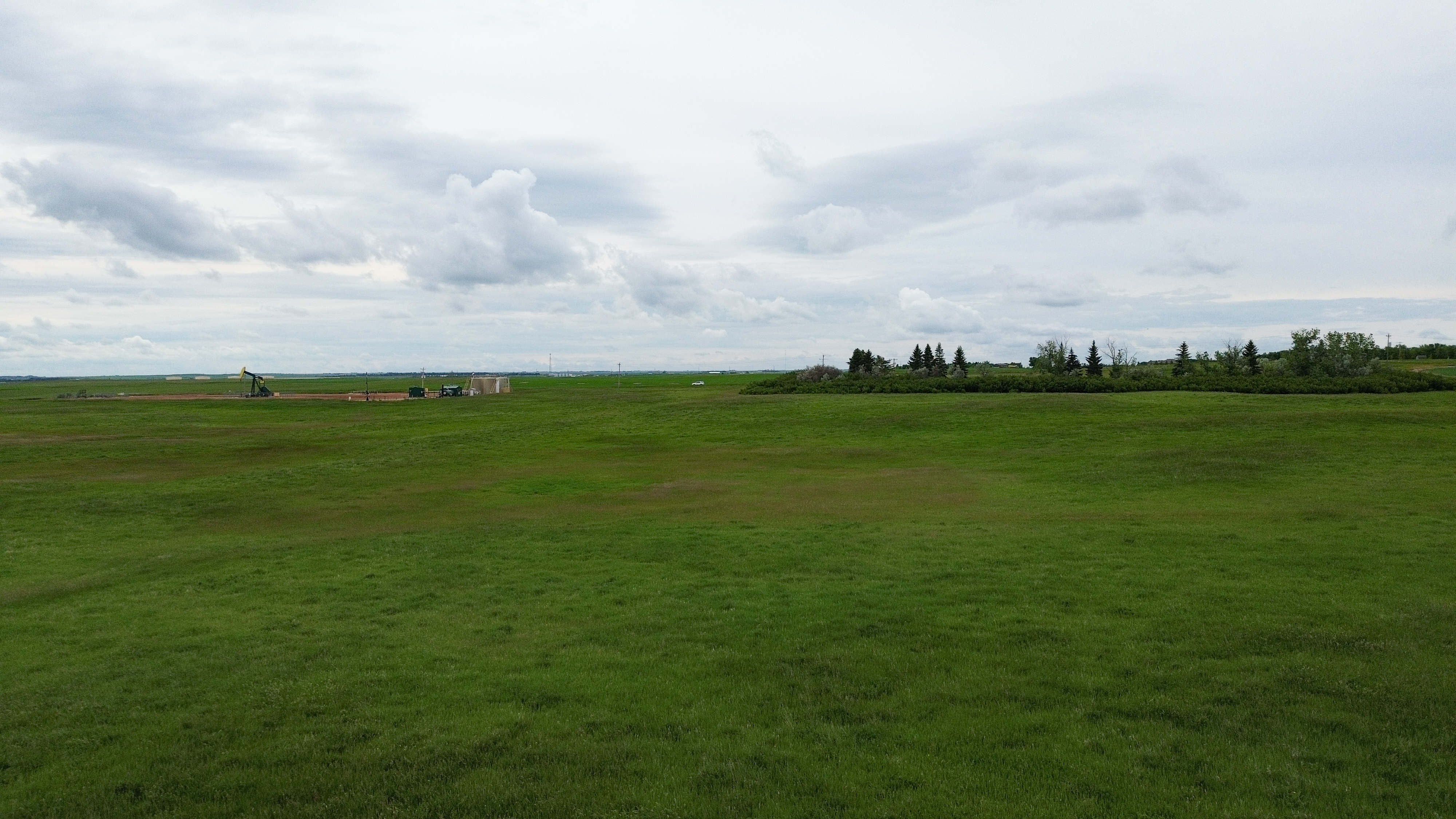
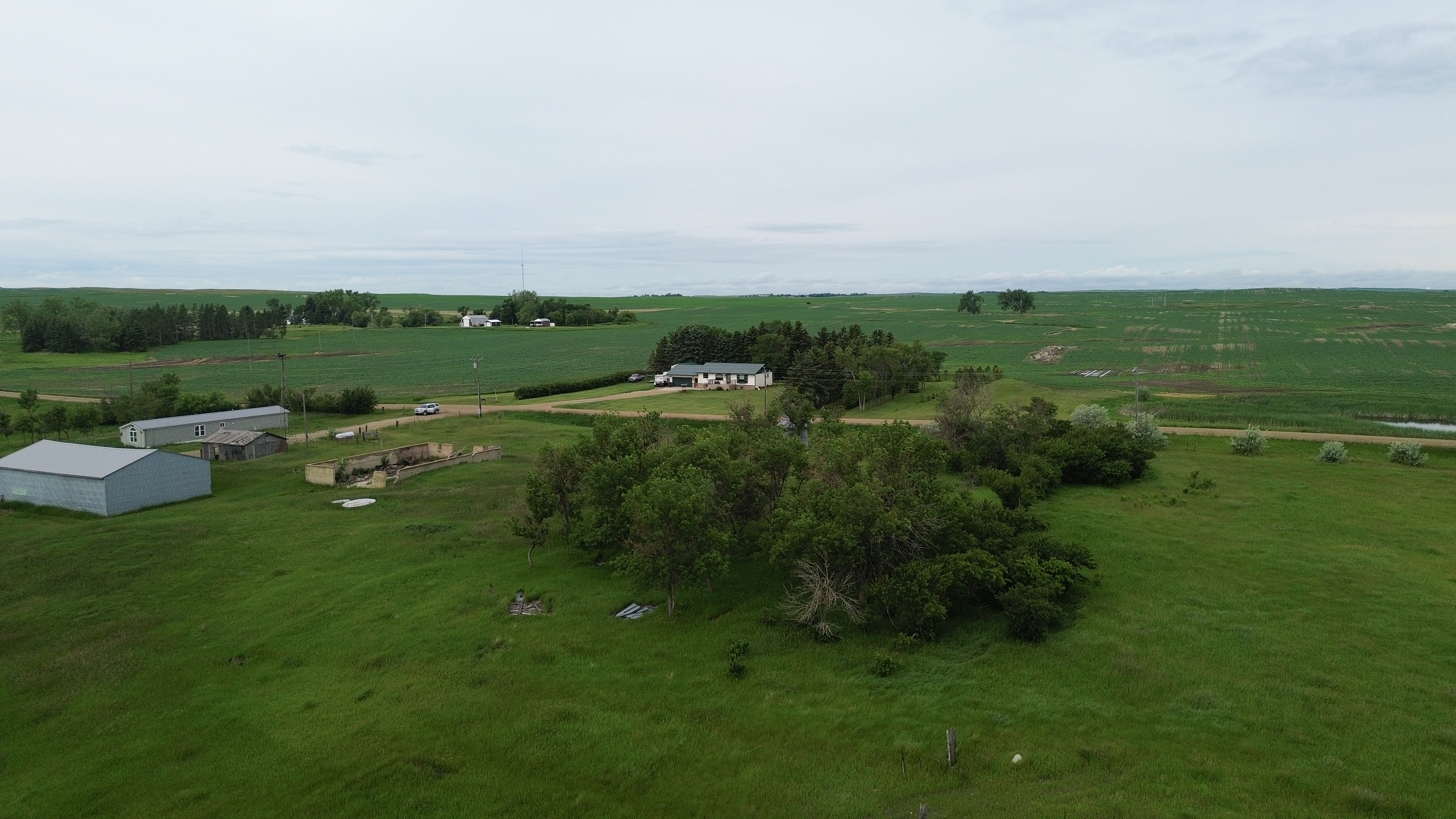
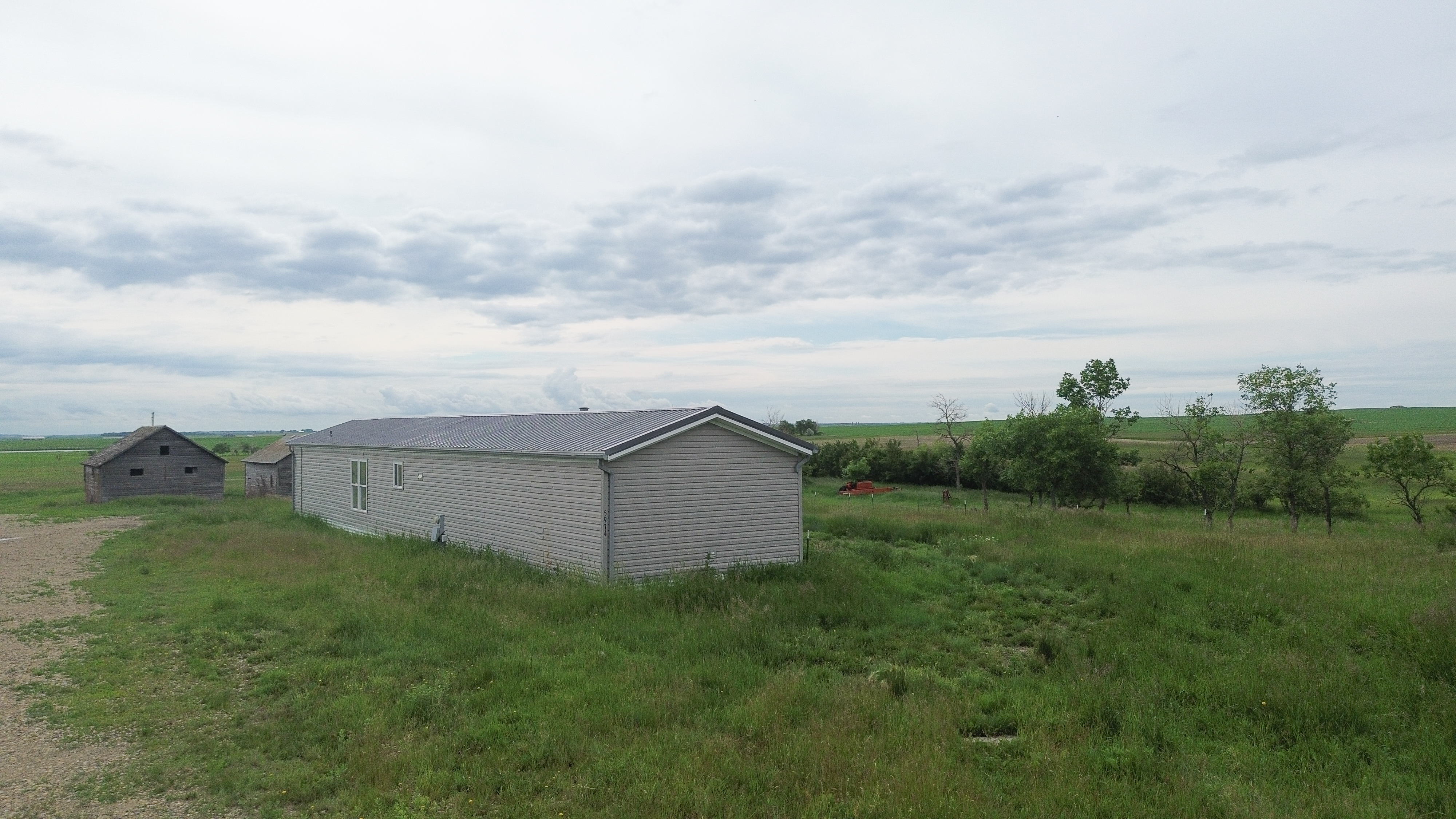
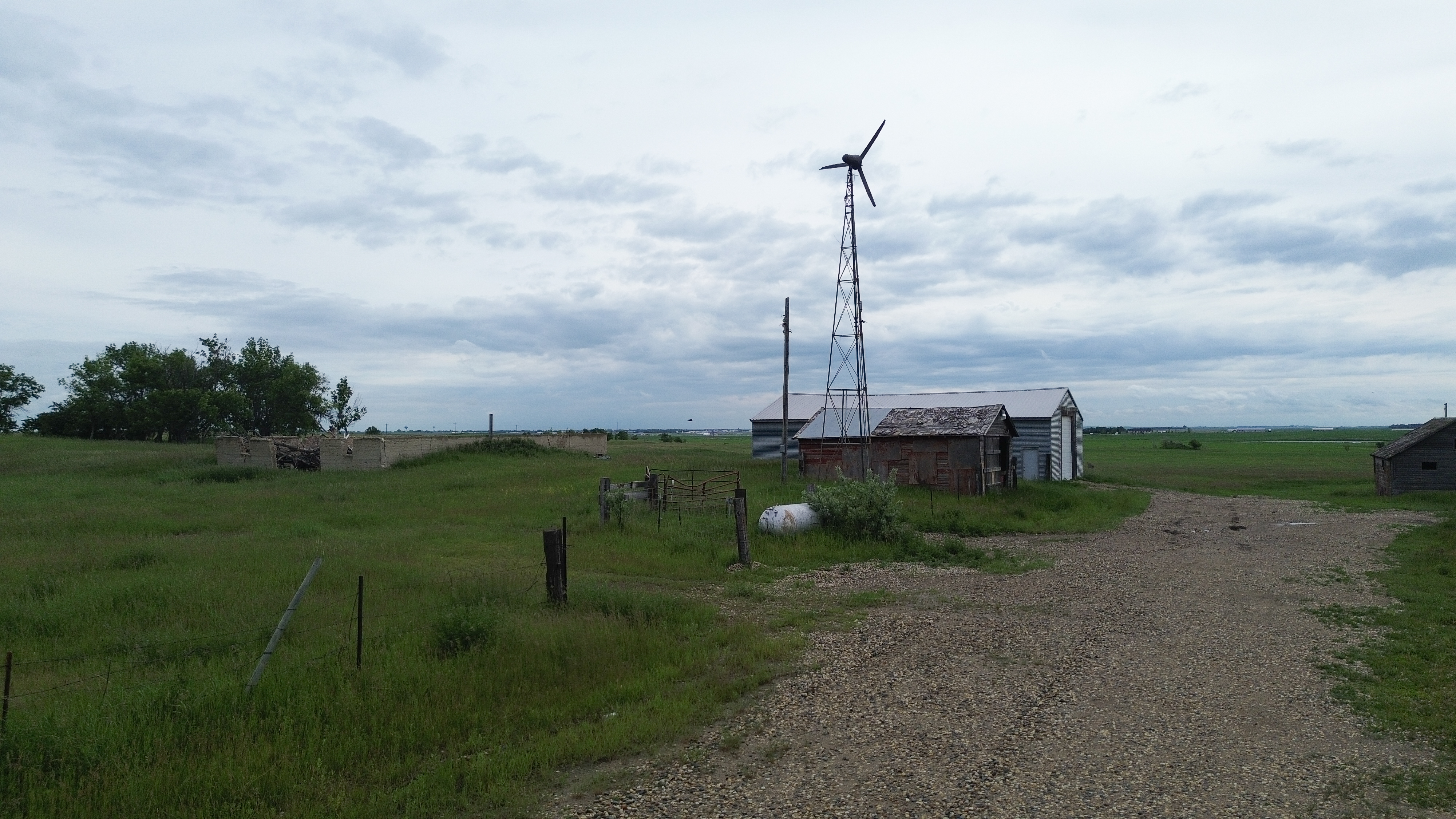
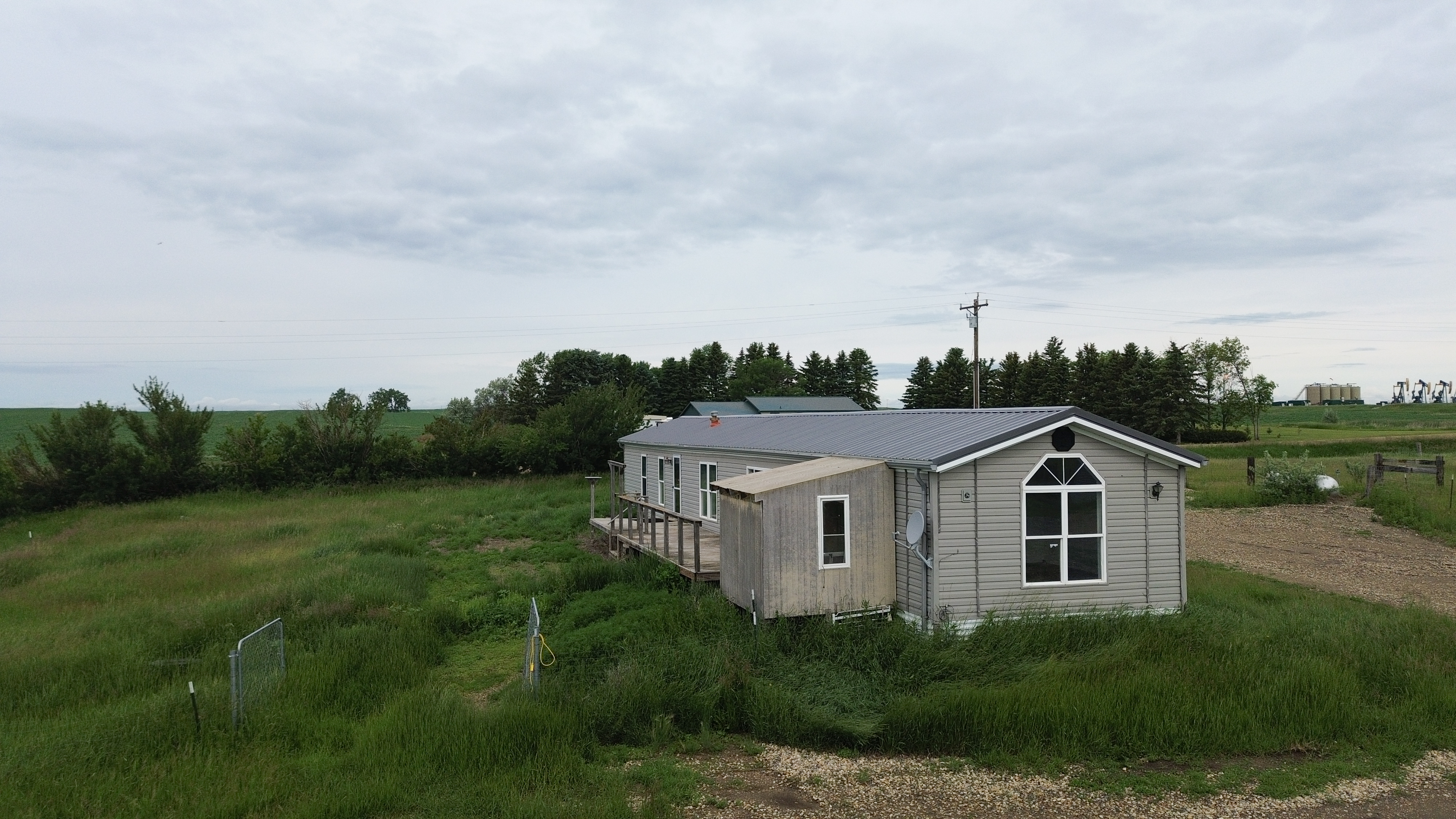
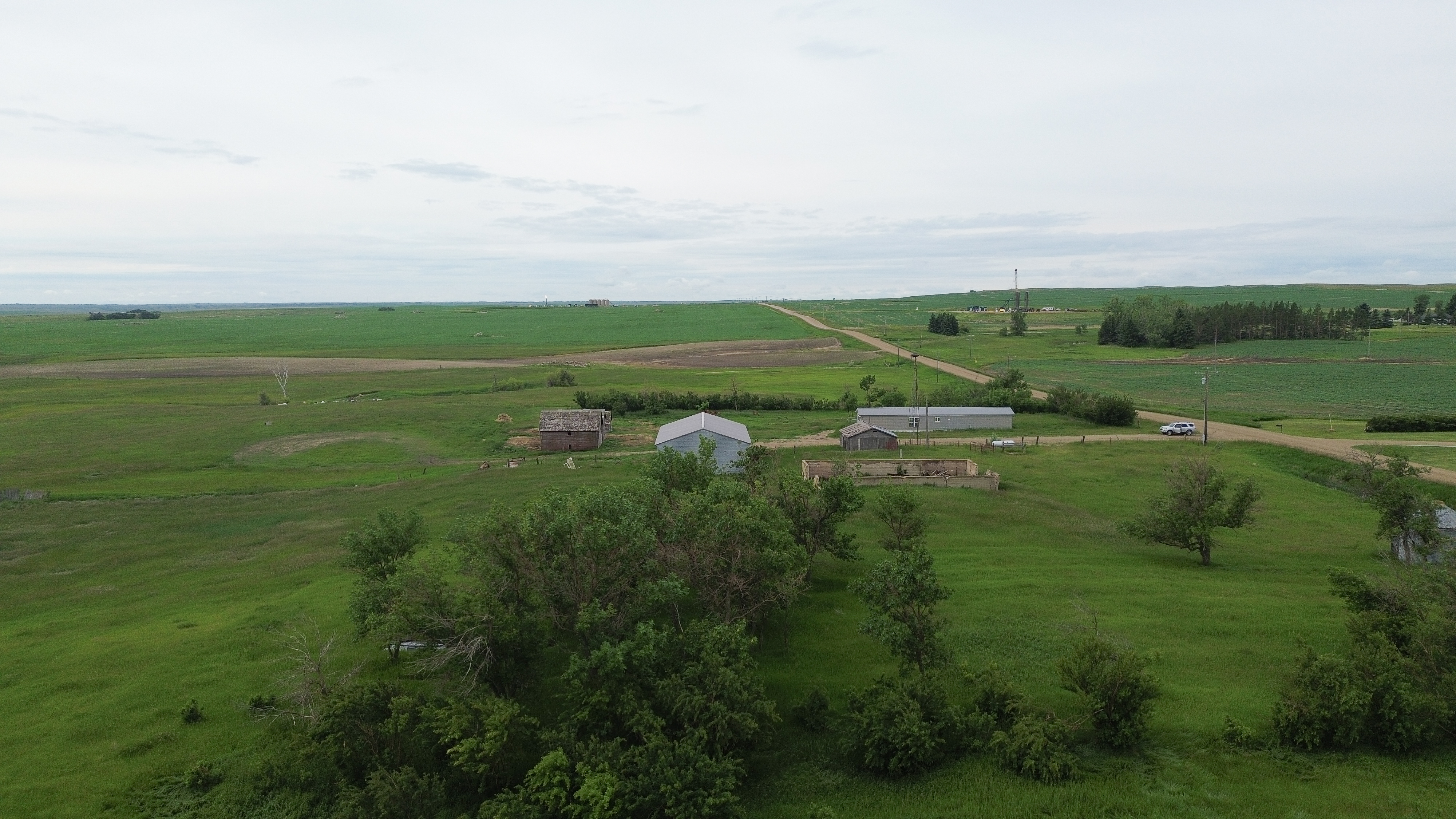
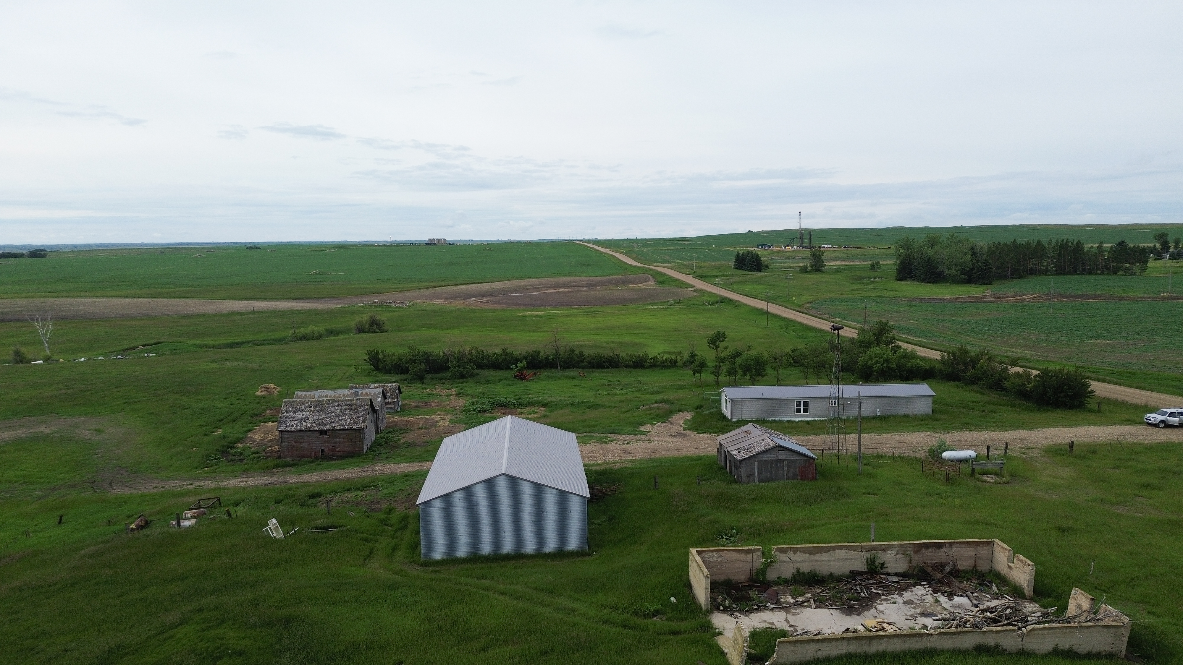
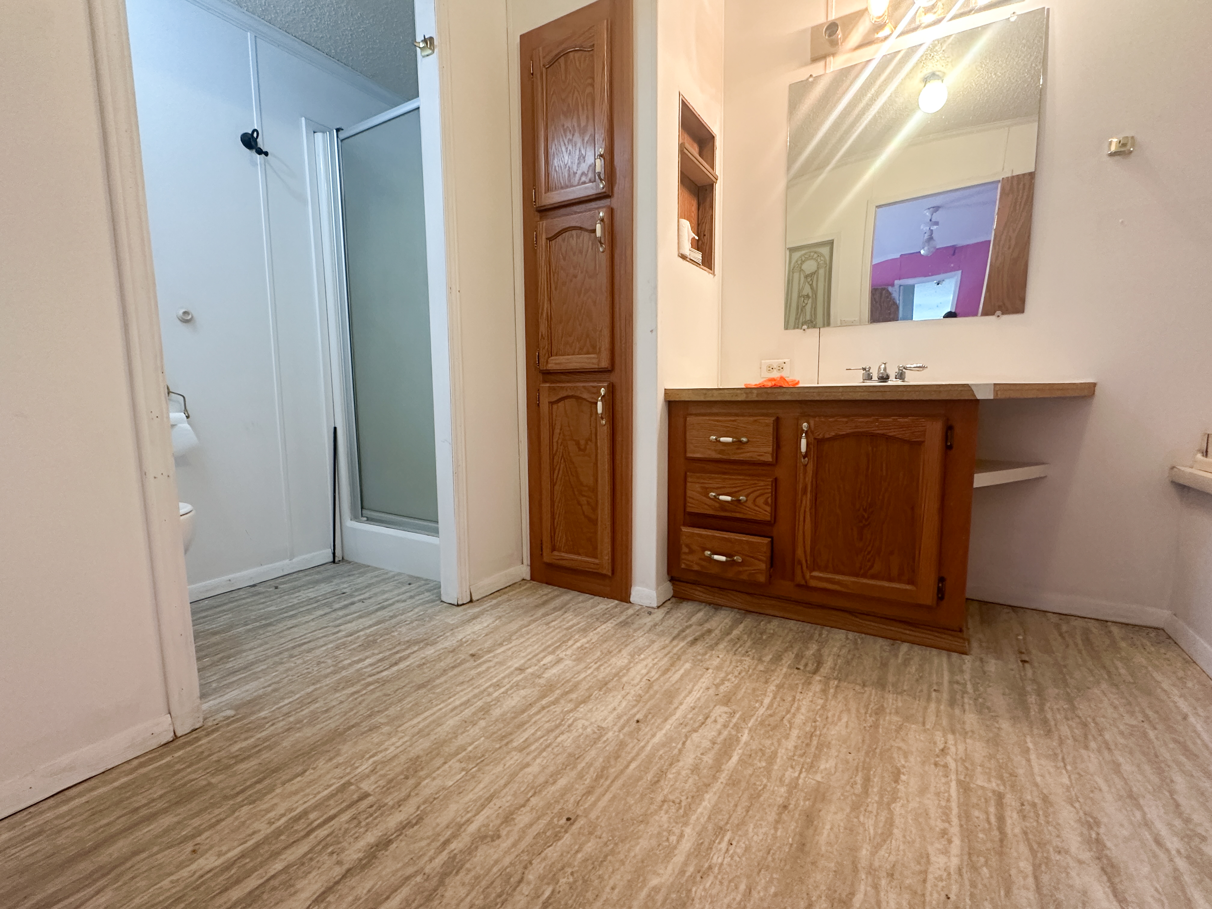
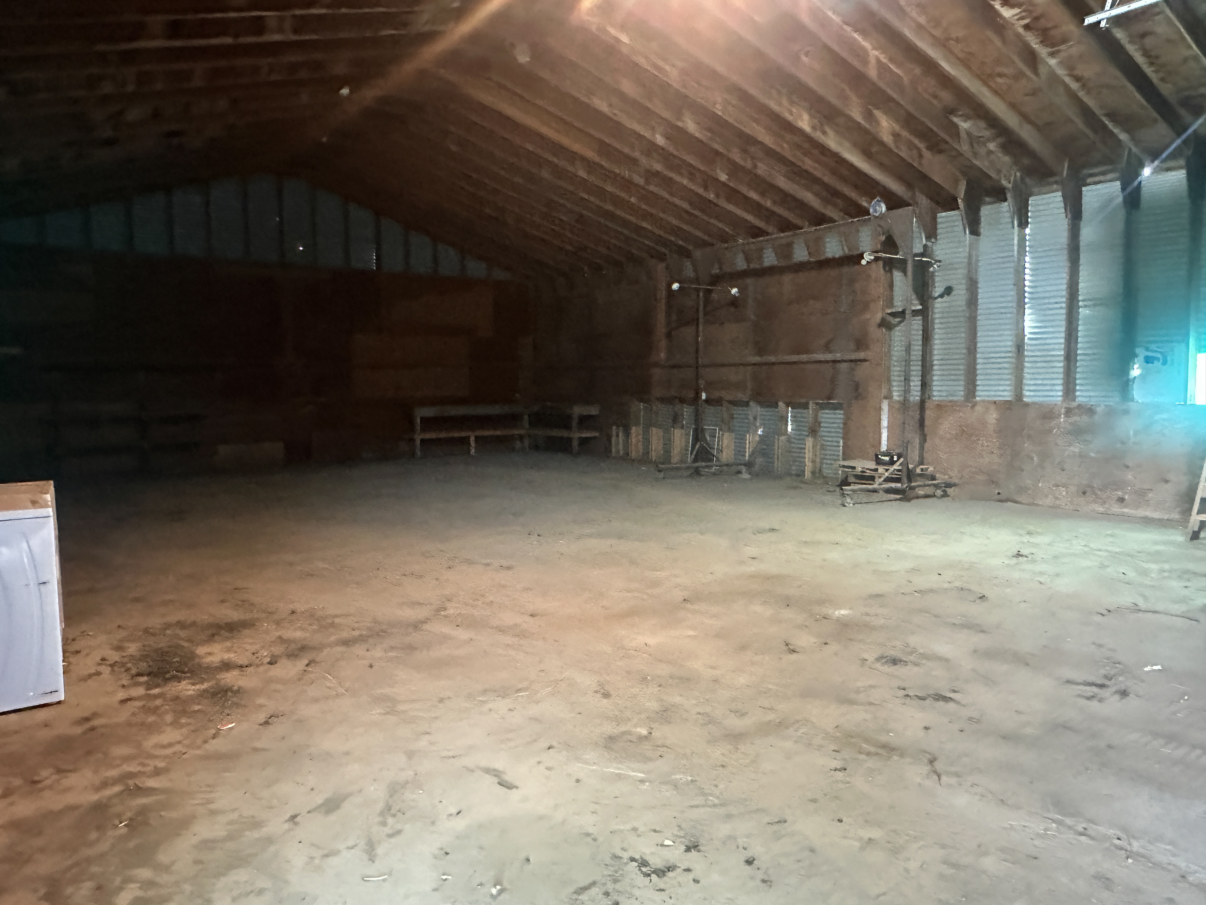
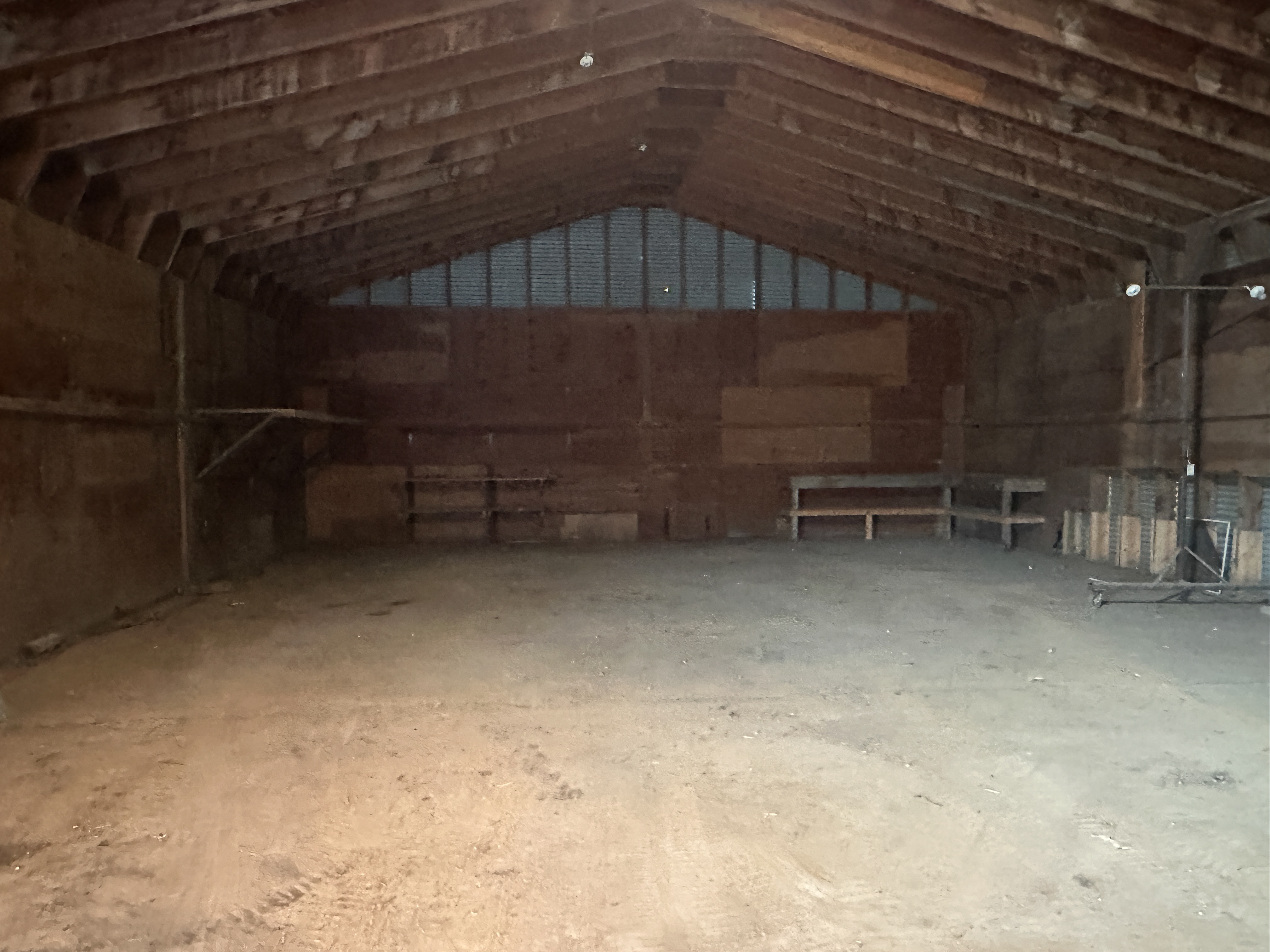
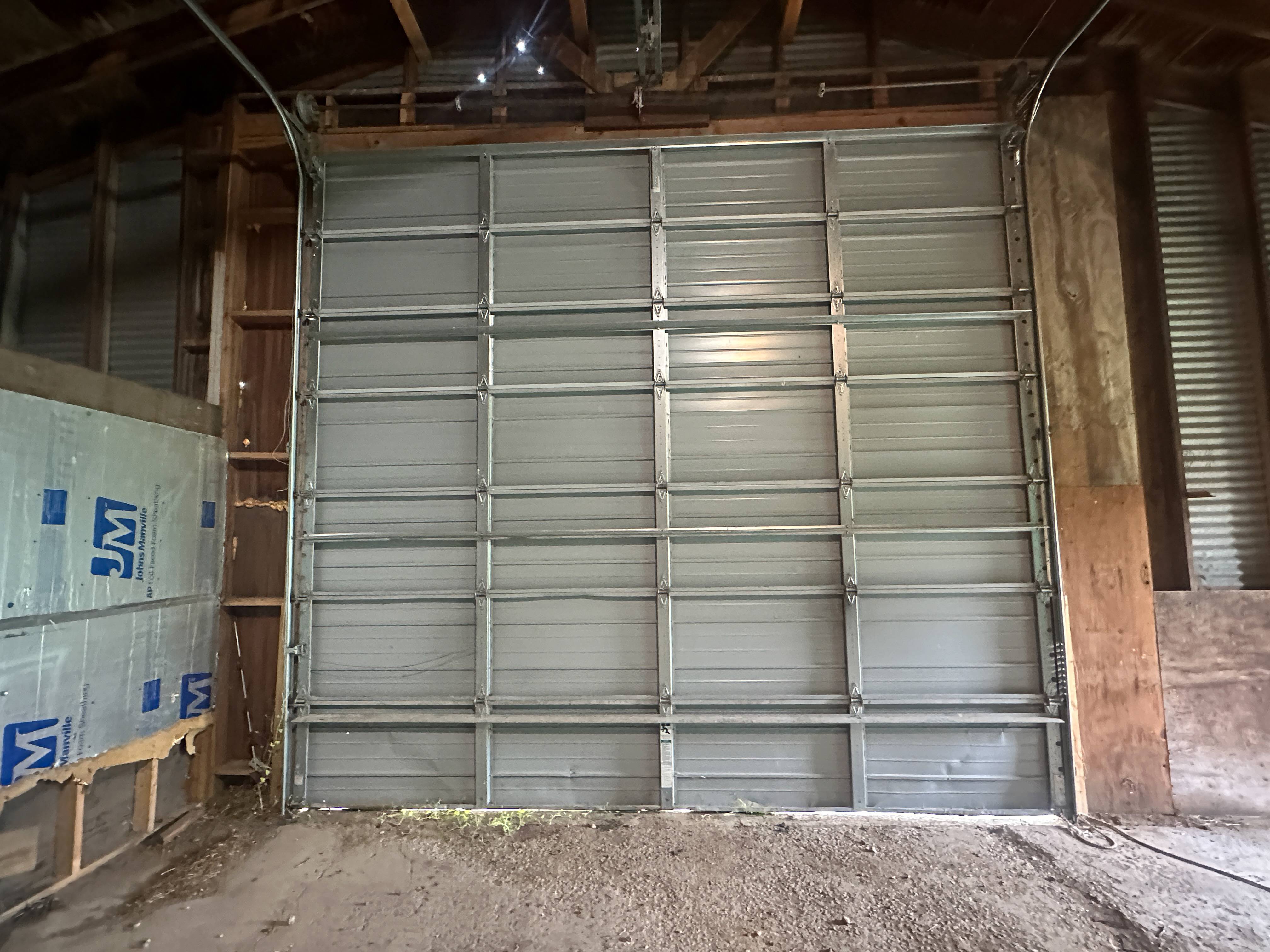
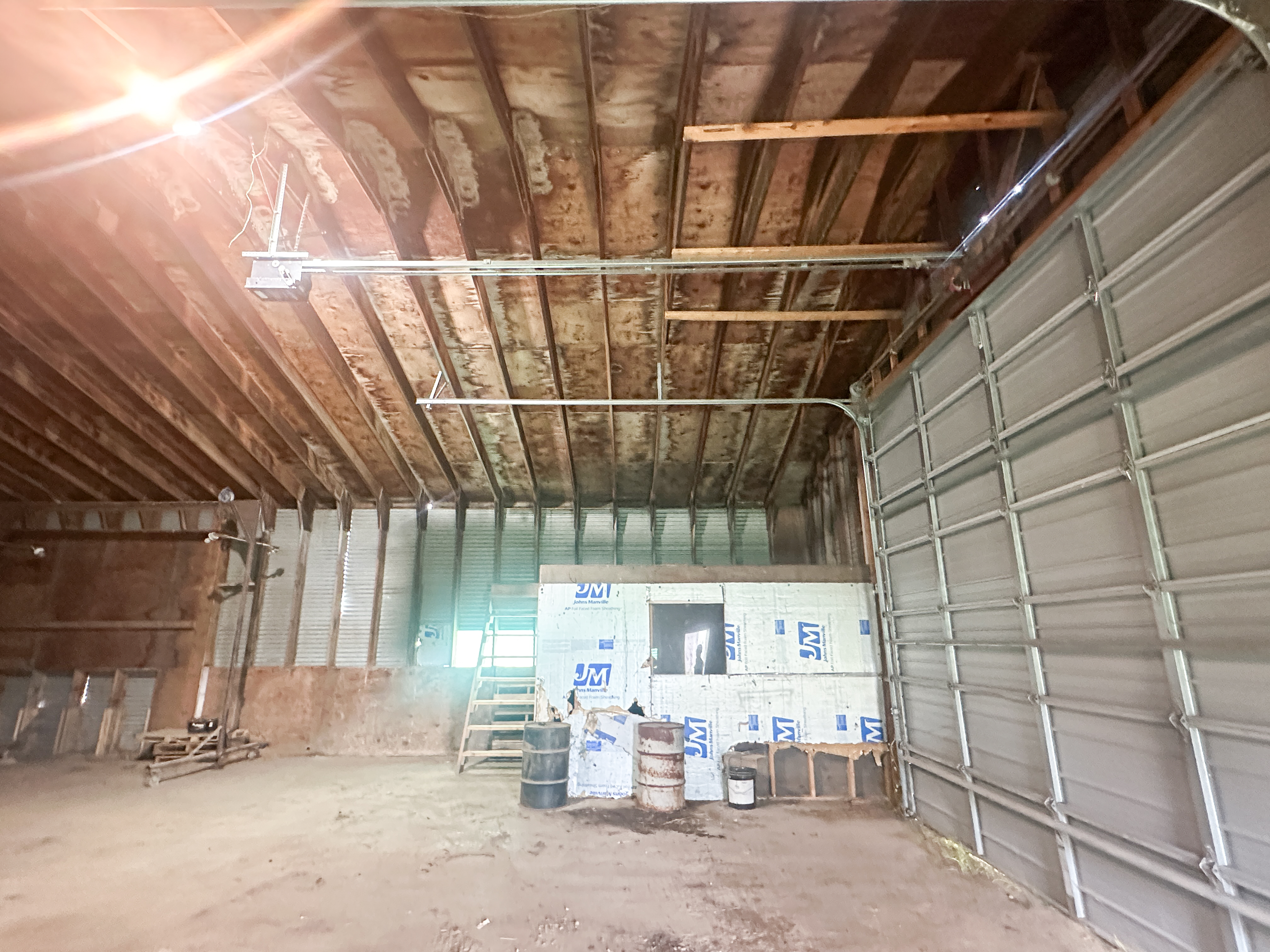
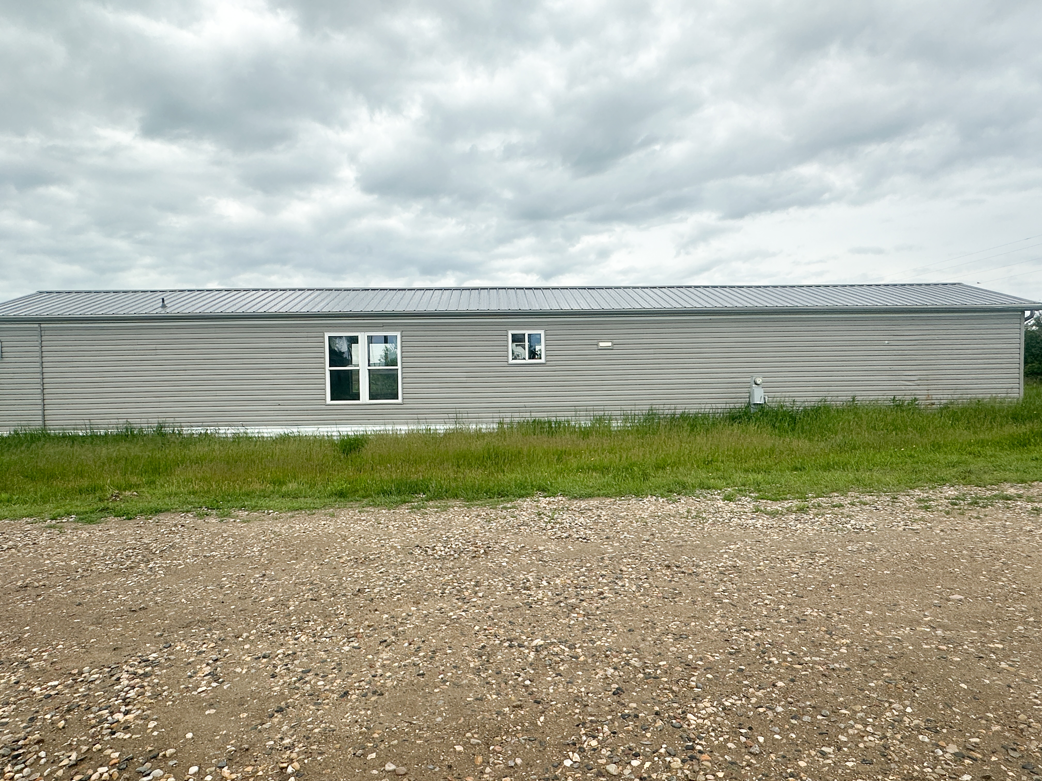
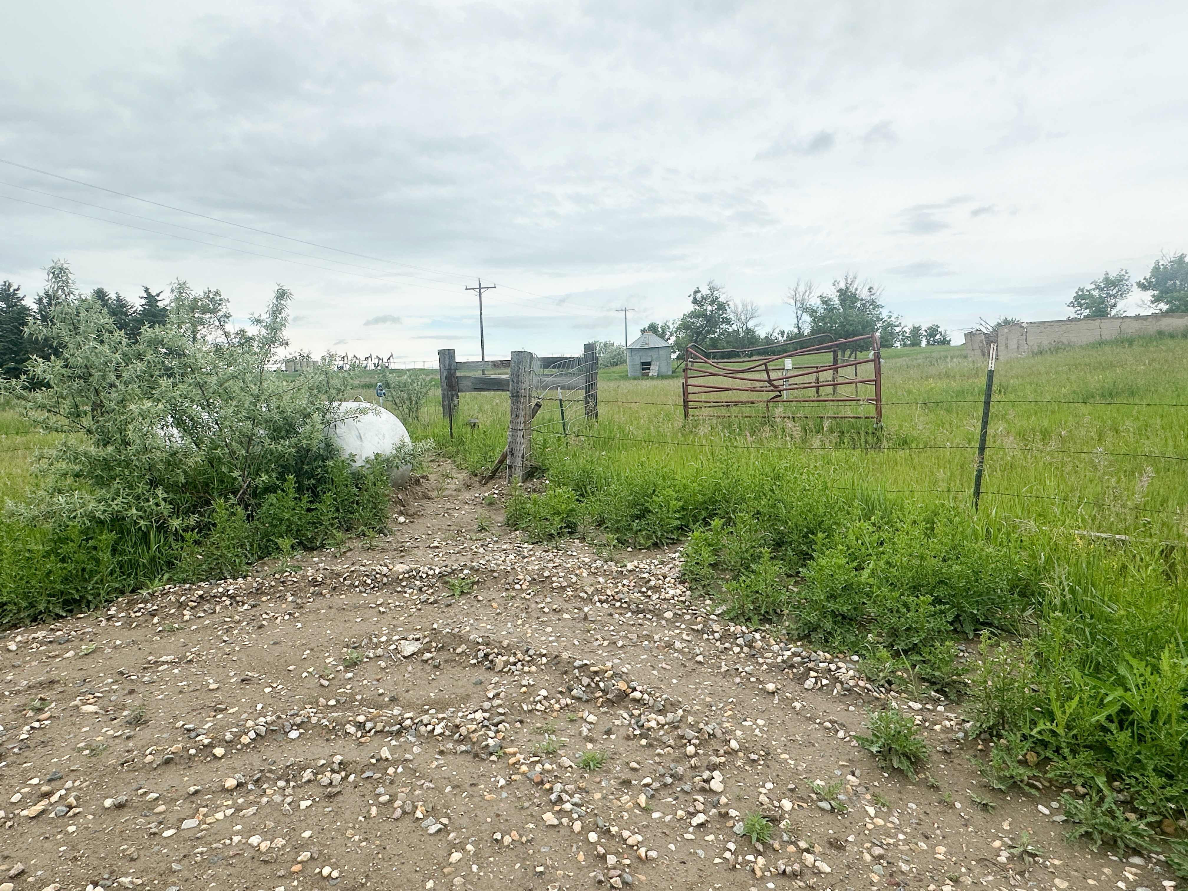
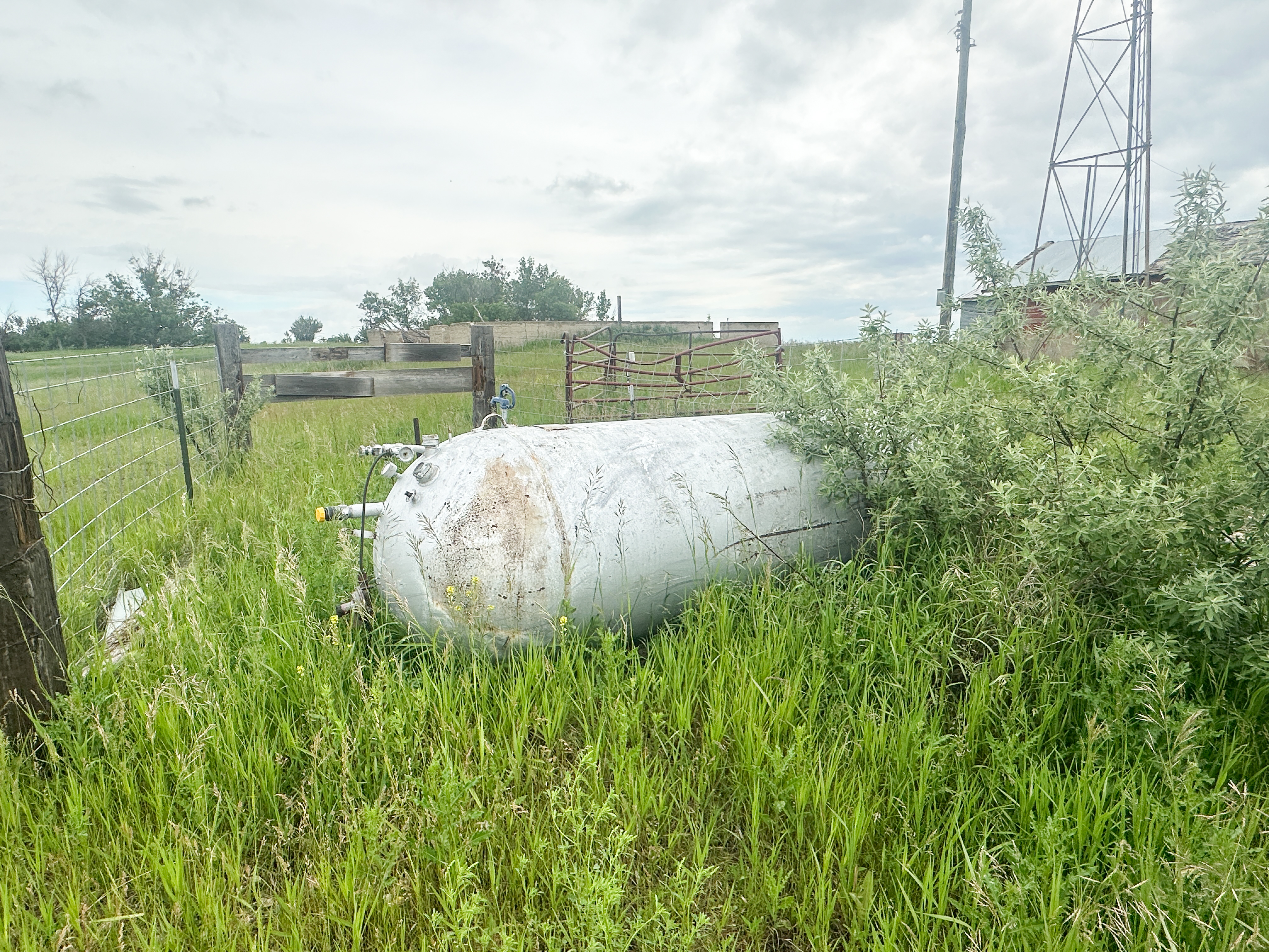
Parcel 14 • Mountrail County, ND
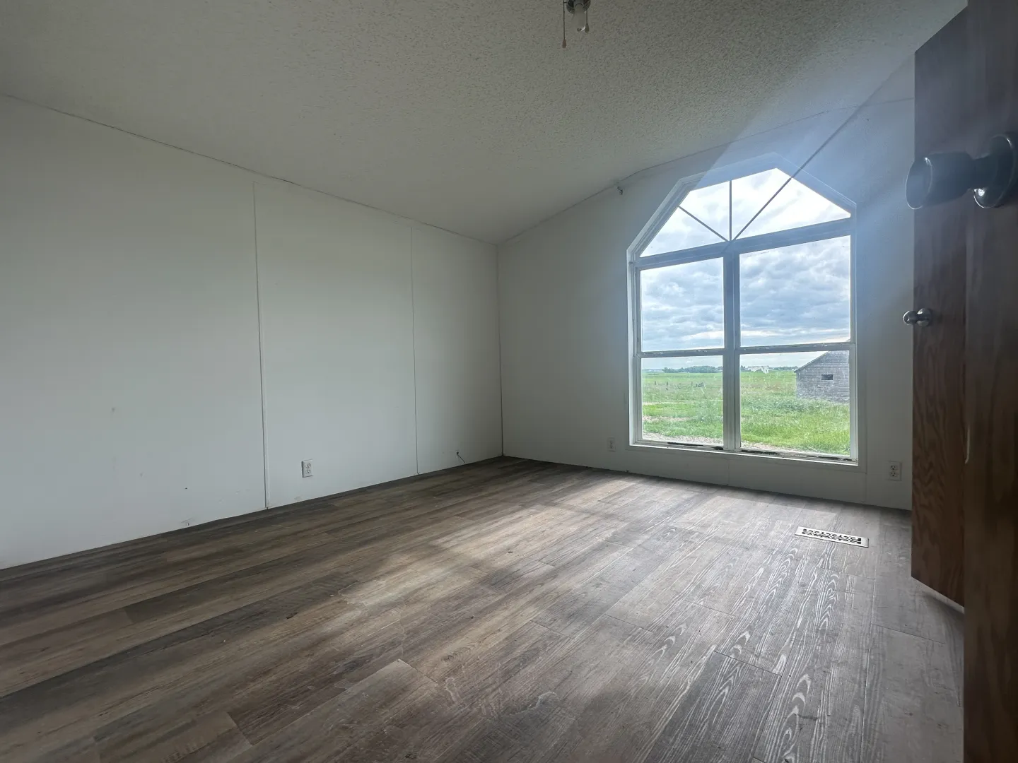
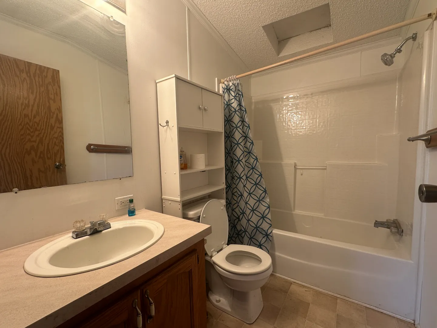
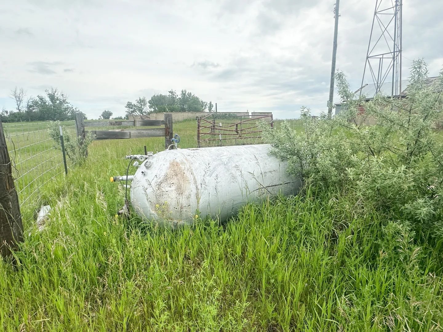
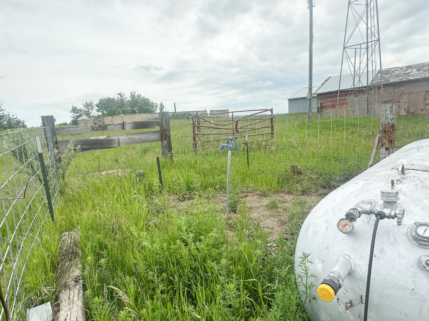
The farmstead includes a mobile home with recent updates, and a shop with concrete floor and a new steel roof installed 5 +/- years ago. The 1996 built mobile home features 1,280 sq. ft. of living space including 2 bedrooms, 2 bathrooms and an open concept floor plan. Utilities include rural water, fiber internet, electric service, a 500 gallon propane tank, and a Generac backup generator system. The property is served by a septic system that has been replaced in the past 5 years. The property is subject to a USFW Wetland Easement on the north side, along with an R&T Water Supply easement.


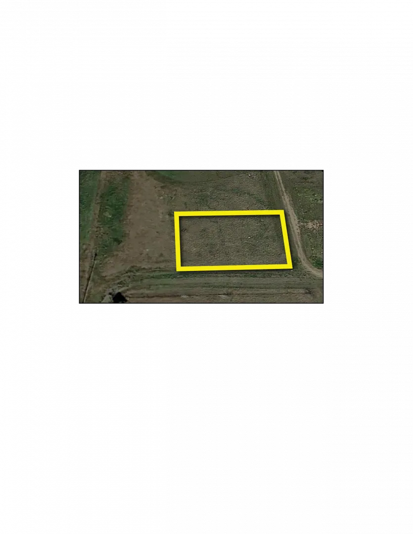
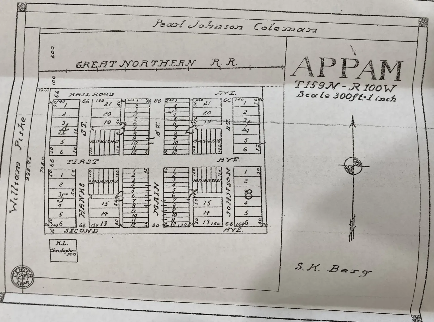
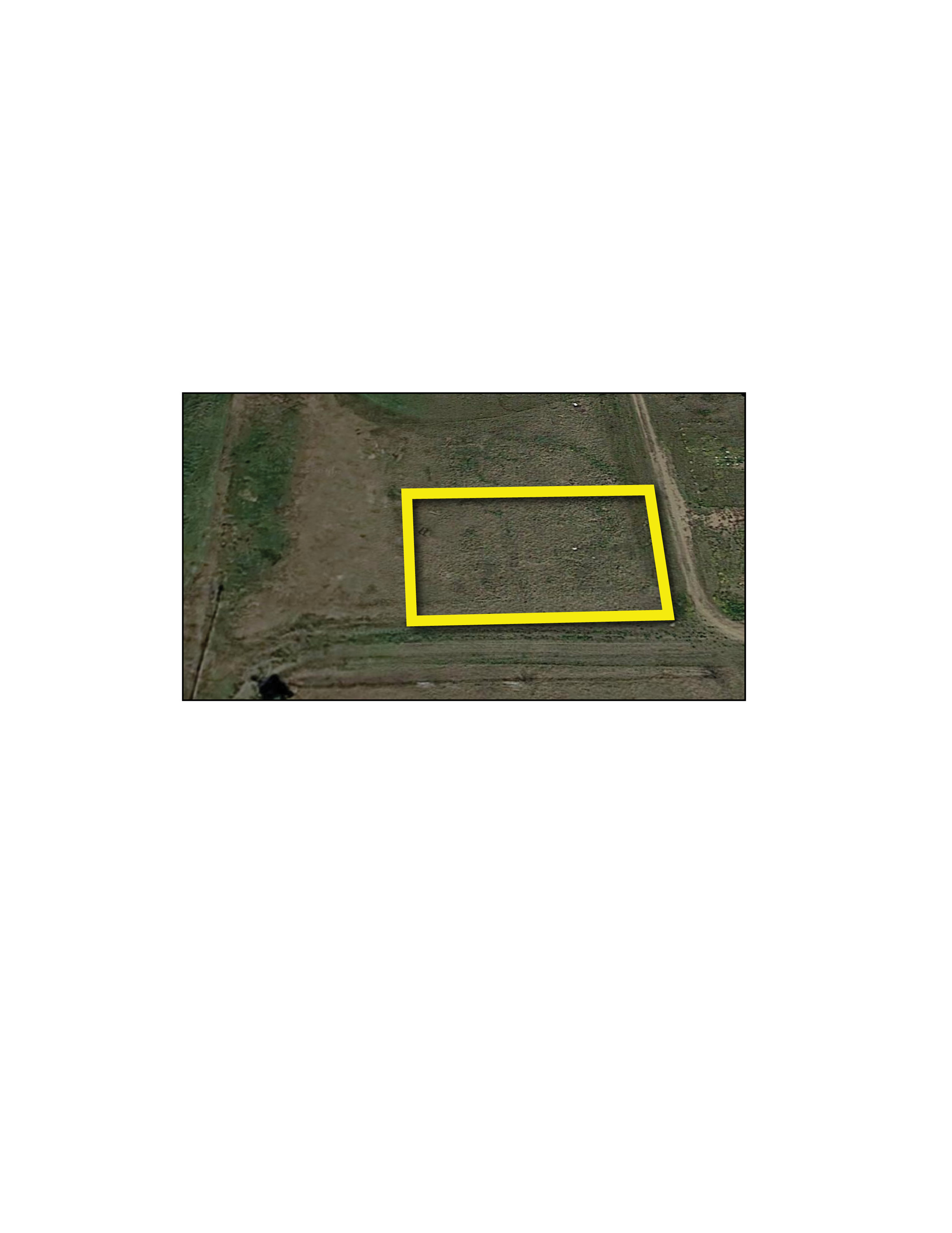
Parcel 15 • Williams County, ND
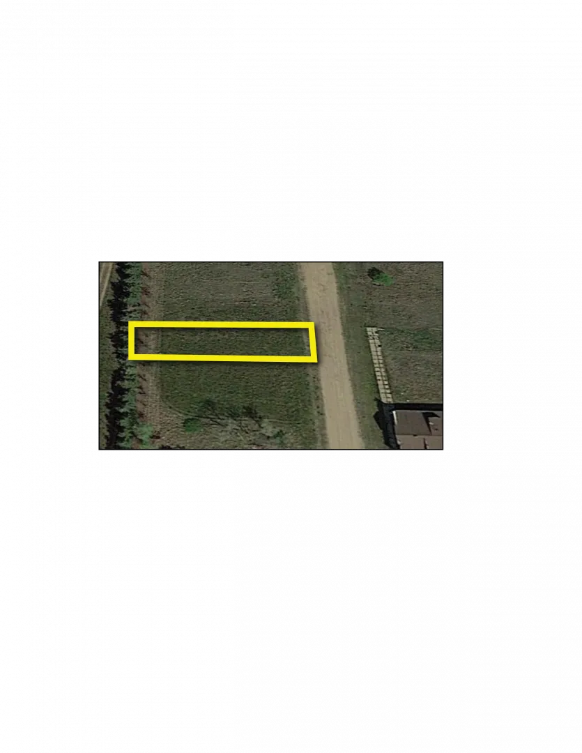
Single lot located in Appam, ND. Lot Size 25 ft. Wide x 130 ft. Deep
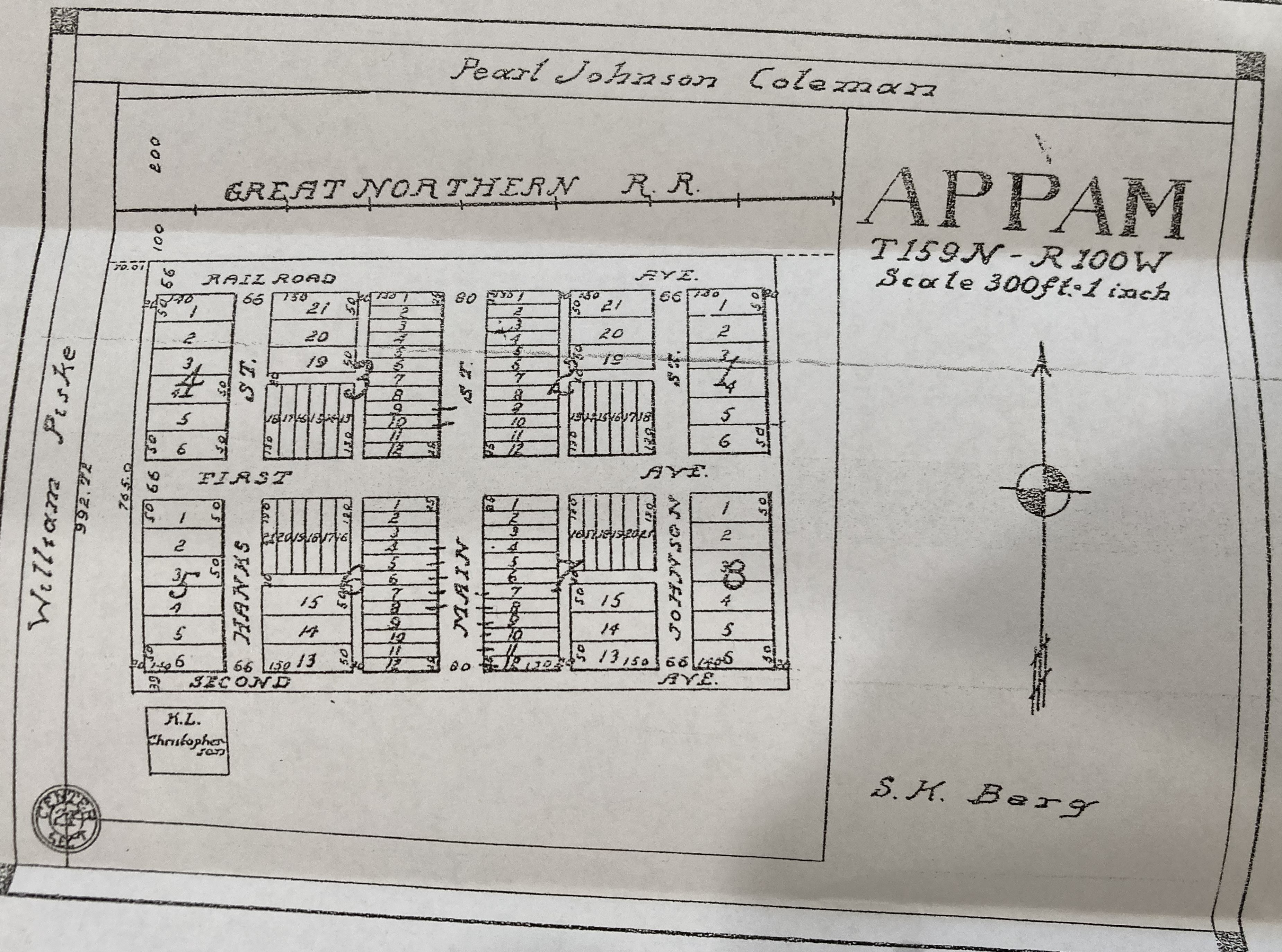
Parcel 16 • Williams County, ND
Located in Appam, ND on the southwest side of town. Lot Sizes 50 ft. Wide x 140 ft. Deep for a total size of 100 ft. Wide x 140 ft. Deep
Contact


I Want More Information
Auction Materials
Driving Directions
Parcel 1: From the intersection of Old Hwy. #2 and 81st Ave. NW, travel 3+ miles north to 65th Ln. NW, continue north or west on prairie trails past the farmstead, which is not part of the auction, to the land.
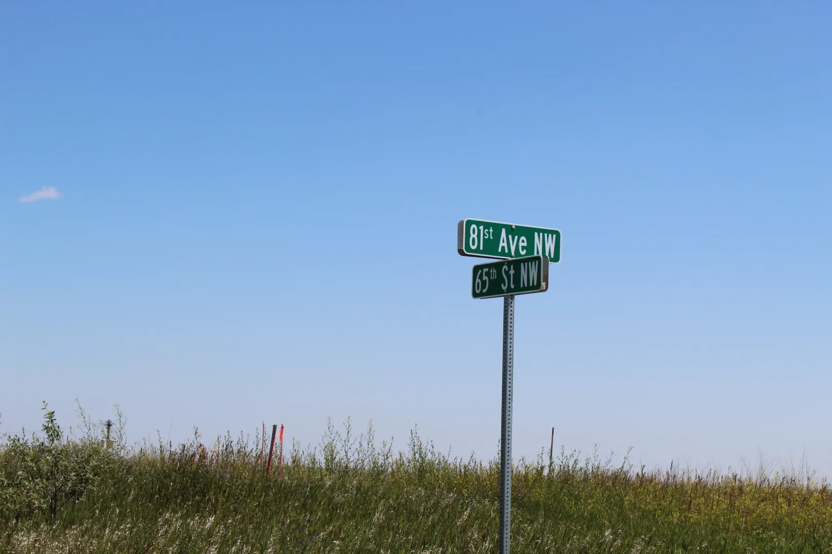
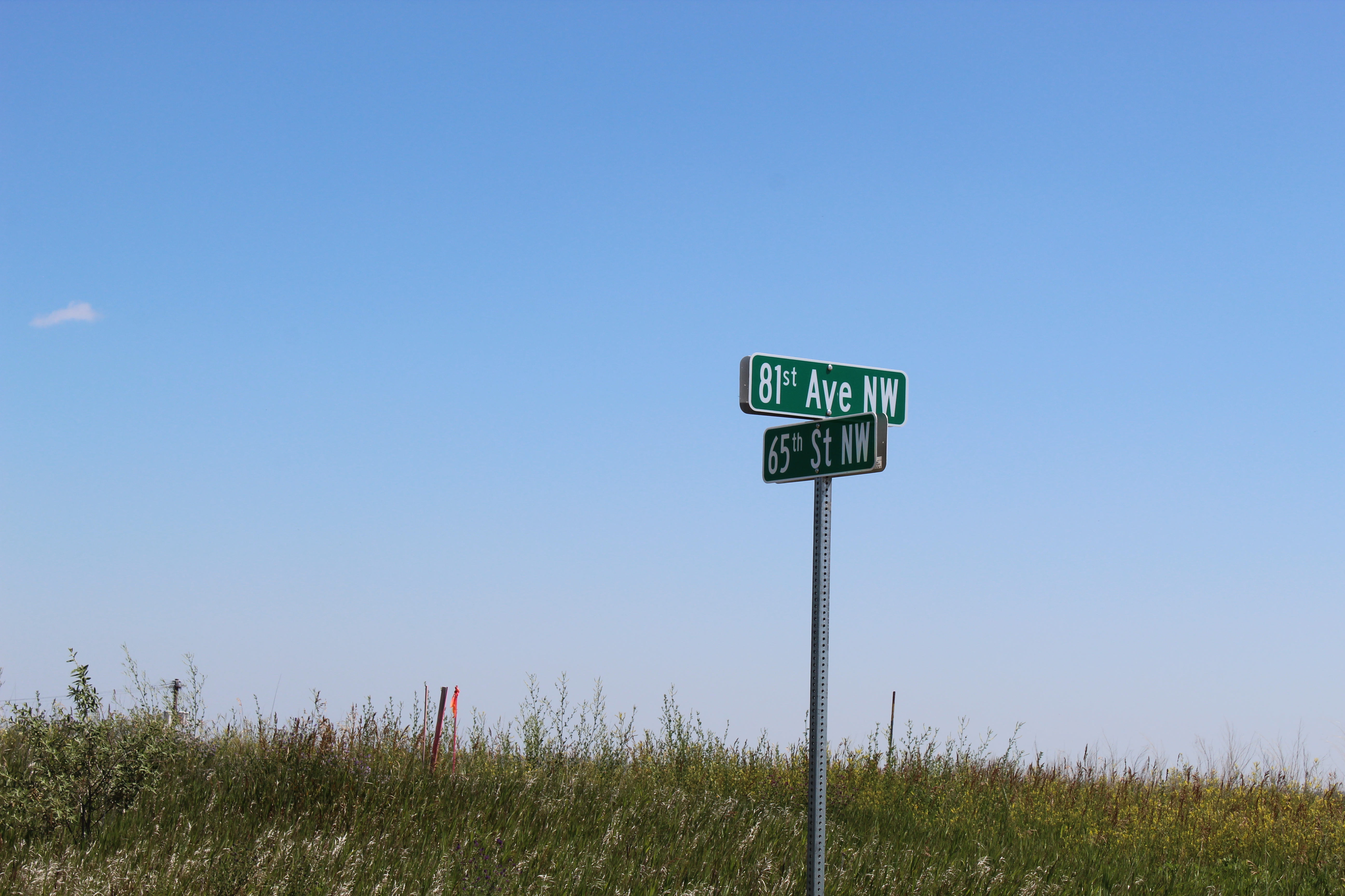
Parcel 2: From the intersection of Old Hwy. #2 and 81st Ave. NW, travel 2+ miles north to the intersection of 81st Ave. NW and 65th St. NW, which is the southwest corner of parcel 2.
Parcel 3: From Hwy. #2 and 85th Ave. NW, travel 2 miles south to the northwest corner of the property.
Parcel 4: This parcel is ½ miles west of Palermo on the north side of Old Hwy. #2.
Parcel 5: This parcel is ½ mile north of Palermo on 74th Ave. NW.
Parcel 6: This parcel is ¾ mile east of Palermo on the south of Old Hwy. #2.
Parcel 7: This parcel is one mile east of Palermo on the north side of Old Hwy. #2.
Parcel 8: This parcel is one mile east of Palermo on the north side of Old Hwy. #2.
Parcel 9: This parcel is ¾ mile south of Palermo, and 2 miles east on Hwy. #2.
Parcel 10: This parcel is ¾ mile south of Palermo, then east on Old Hwy. #2 1.5 miles to 72nd Ave. NW, then one mile south and ½ mile west to the southeast corner of parcel 10.
Parcel 11: This parcel is 7 miles north of Palermo on 71st Ave. NW, then ½ mile west on section line to the southeast corner of the mile-long quarter.
Parcel 12: From the intersection of Old Hwy. #2 and 81st Ave. NW, travel 2+ miles north to the intersection of 81st Ave. NW and 65th St. NW, which is the southwest corner of parcel 2. Turn west for 1/4 mile to treed lot.
Parcel 13: This parcel is one mile east of Palermo on the north side of Old Hwy. #2
Parcel 14: From Hwy. #2, west of Stanley, ND and 85th Ave. NW, travel 2 and ½ miles south to the entrance of the farmstead.
Parcel 15 & 16: The city lots are located in the town of Appam, ND, on Hwy. #50, one & one-half miles east of Hwy. #85.